U.S. Wildfire Dashboard
Verified official data from NIFC & InciWeb. Clear, actionable intelligence to help you make informed decisions.
Wildfires Near Me
Tap "Near Me" to instantly see active wildfires closest to your current location, ranked by distance, acreage, and containment status.
Interactive Threat Map
Major Incidents
Browse Active Wildfires by State
Understanding This Wildfire Data
This dashboard tracks active U.S. wildfires using official data from the National Interagency Fire Center (NIFC), refreshed automatically every 20 minutes. Fires are only listed as active while NIFC continues to report them as ongoing.
Containment refers to the percentage of a fire's perimeter that firefighters have secured with control lines, not how much of the fire is extinguished. A fire can be 100,000 acres and still grow even at high containment if conditions change. Read more about containment strategy in our glossary.
Acreage reflects the total area burned so far, not the current size of the active fire edge — some of that acreage may already be fully contained or mopped up.
Want to know your own area's wildfire exposure? Try our Wildfire Risk Assessment tool →
Wildfire Terms & Common Questions, Explained
What does "0% contained" mean? It means firefighters have not yet secured any part of the fire's perimeter with a control line — not that the fire is uncontrolled in every direction. Newly reported fires are almost always listed at 0% simply because containment lines take time to build.
What is a "red flag warning"? A red flag warning is issued by the National Weather Service when conditions — typically low humidity, high wind, and dry fuels — make new fires likely to start and existing fires likely to spread rapidly. It's a forecast of fire risk, not confirmation that a fire exists in your area.
What's the difference between a wildfire "watch" and a "warning"? Terminology varies by agency, but generally a fire weather watch means conditions favorable for extreme fire behavior are possible in the next 12–72 hours, while a warning means those conditions are occurring or imminent. Always check your local fire agency or National Weather Service office for the exact alert in effect.
How large does a fire have to be to make this dashboard? We track incidents reported through NIFC's WFIGS feed regardless of size, though our "Major Incidents" panel highlights the largest and most active fires by acreage. Smaller or fully-contained fires may still appear in state and search listings even if they're not featured on the homepage.
Why did a fire's acreage go down? Acreage figures are usually revised as crews get better perimeter mapping, often from aircraft or satellite imagery. A downward revision typically means the earlier estimate was too high, not that the fire physically shrank.
What should I do to prepare if a wildfire is active in my region? Build or review a go-bag, know at least two evacuation routes out of your area, sign up for county-level emergency alerts, and keep an eye on official channels like your local fire department, sheriff's office, or state fire agency rather than relying solely on acreage and containment figures from any single source, including this site.
Where can I check current air quality from wildfire smoke? The EPA's AirNow.gov provides real-time air quality index readings by location, which is the best way to gauge smoke impact even from fires burning hundreds of miles away.
Frequently Asked Questions
How often is this data updated?
Active fire data is pulled from NIFC every 20 minutes. AI-generated situation summaries refresh whenever new official data is reported for a given fire.
What does "percent contained" mean?
It's the share of the fire's perimeter that has a secured control line, not the share of the fire that's out. A fire can still grow in uncontained sections even at high overall containment.
Where does this data come from?
All incident data comes from the National Interagency Fire Center's official WFIGS feed. AI summaries are generated strictly from that official data and never invent facts.
Why do some fires show limited information?
Some smaller or newly-discovered fires have limited official reporting. We only display what's officially confirmed rather than filling gaps with guesses.
How do I find wildfires near me?
Tap the "Near Me" button at the top of this page and allow location access. We'll instantly show the active wildfires closest to you, sorted by distance.
How can I find wildfires in my state?
Use Search to filter by state, county, or your location, or view the largest active fires ranking.
What is the difference between a wildfire, brush fire, and forest fire?
They describe the same event at different fuel types and scales. Brush fires burn grass and shrubs and spread quickly; forest fires burn timber and can be far more intense. "Wildfire" is the umbrella term agencies use for any of them.
What causes most wildfires?
Most U.S. wildfires are human-caused — unattended campfires, equipment sparks, downed power lines, and debris burning. The rest are typically sparked by lightning, which often produces the largest and most remote fires.
Should I evacuate based on this dashboard?
No — always follow official evacuation orders from your local sheriff or fire department. This dashboard is informational and not a substitute for local emergency alerts.
Our Latest Wildfire Coverage
19 more covered fires →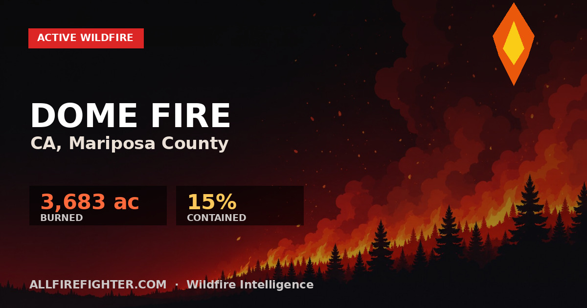
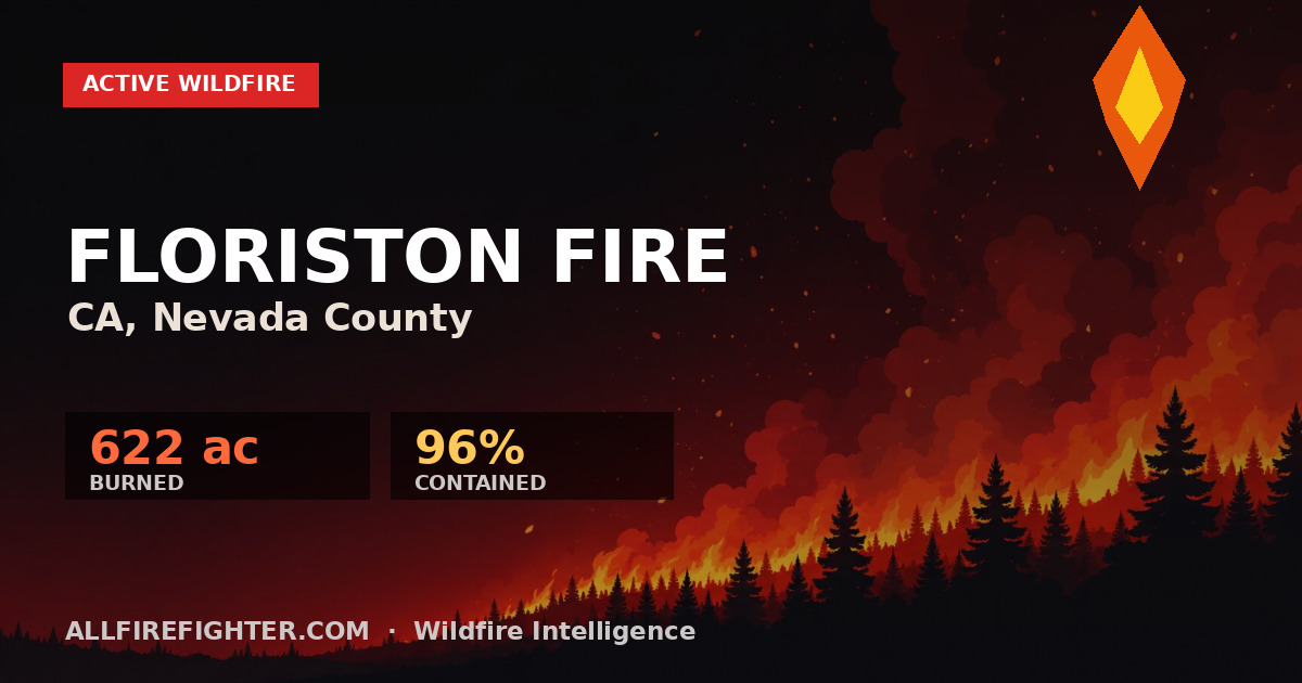
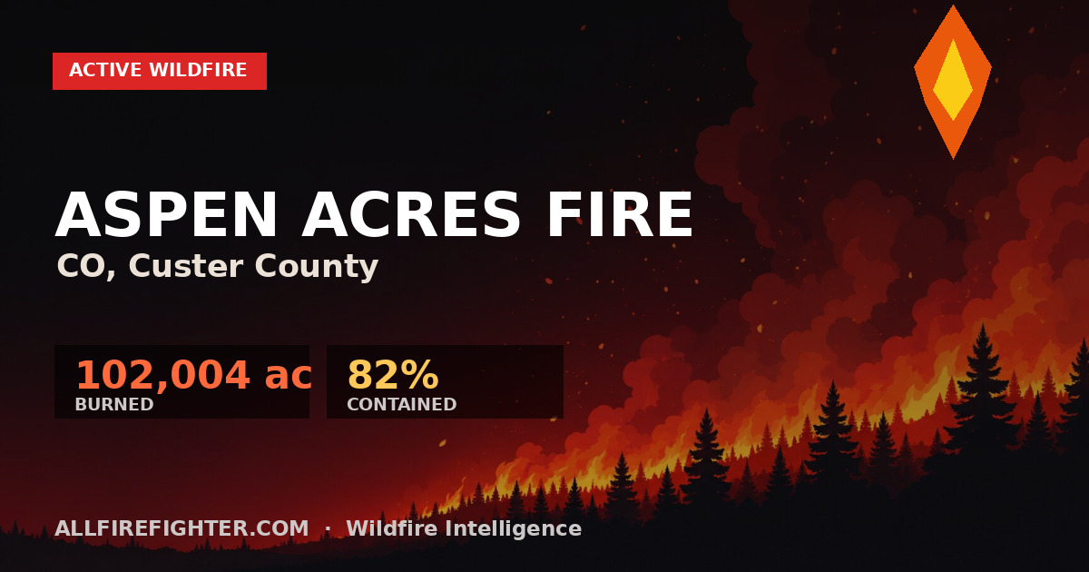
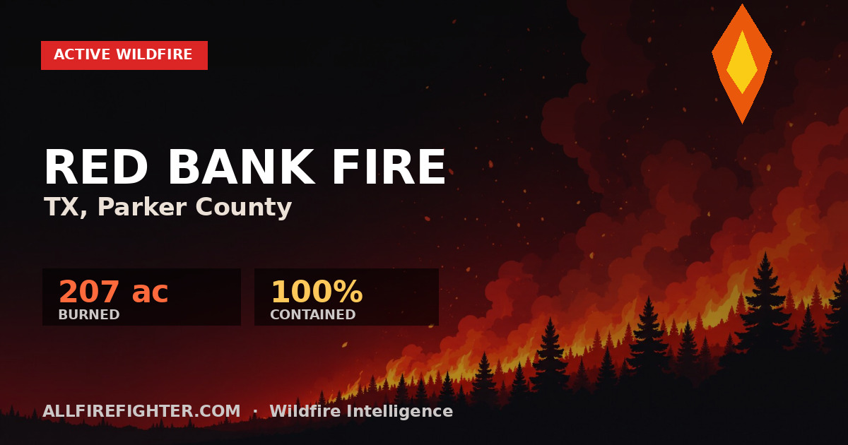
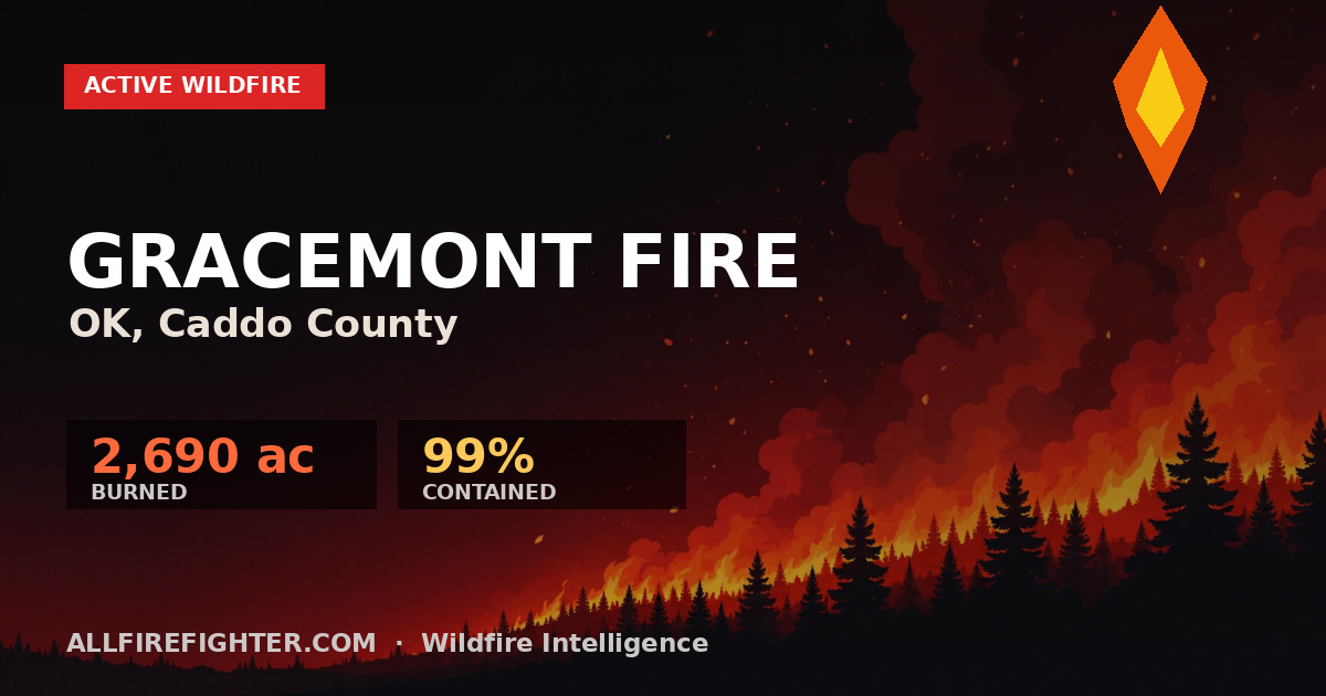
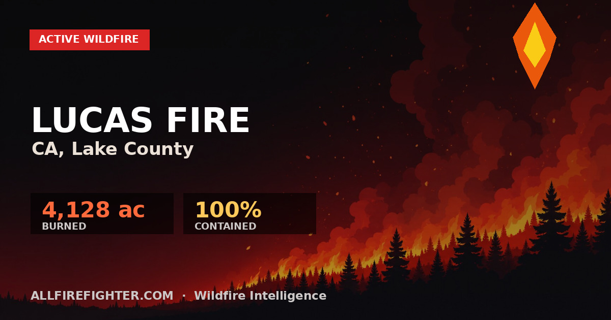
Watch Active Wildfires — Live
Real-time map, acreage, and containment for every major U.S. wildfire, updated from official NIFC data.
View Live Map →