
Published: · Last updated: August 3, 2026, 2:30 p.m. PDT · Reviewed by Ertuğrul Öz, Certified Fire Chief & Training Specialist
Key update: The Autumn Lane Fire has grown to an estimated 3,351 acres, and together with the Old Trails and Fairview fires, the combined Spokane Area Fires have burned 8,026 acres and remain 0% contained. Autumn Lane remains the No. 1 priority wildfire response in the entire United States, according to U.S. Senator Maria Cantwell and the federal incident management team now coordinating the response. More than 700 structures have been destroyed across all three fires and roughly 65,000 people remain under evacuation orders. No deaths or injuries have been confirmed across any of the three fires. Spokane City Fire Chief Tom Williams says Autumn Lane remains "still very active" and will stay that way until crews reach every affected area. This is a developing wildfire — acreage, containment, and evacuation zones can change within the hour. If you are in the Nine Mile Falls, Suncrest, or Stevens County area, do not rely on this article for evacuation decisions — follow live orders from Stevens County Emergency Management, the Spokane County evacuation map, and local broadcasters (KREM, KHQ, The Spokesman-Review).
The Autumn Lane Fire was first reported around 3:30 p.m. on Saturday, August 1, 2026, burning near West Autumn Lane in Nine Mile Falls, along the Spokane County and Stevens County line. According to reporting by The Spokesman-Review, it started small — an initial size-up put it at roughly 10 acres — but under the same extreme wind and low-humidity conditions driving the Old Trails and Fairview fires nearby, it grew rapidly through Saturday evening and into Sunday, reaching an estimated 3,351 acres as of Monday, according to Washington's incident management team. For comparison, Old Trails sits at roughly 3,619 acres and Fairview at about 1,056 — meaning Autumn Lane has grown to nearly match the much larger Old Trails Fire in size within about a day.
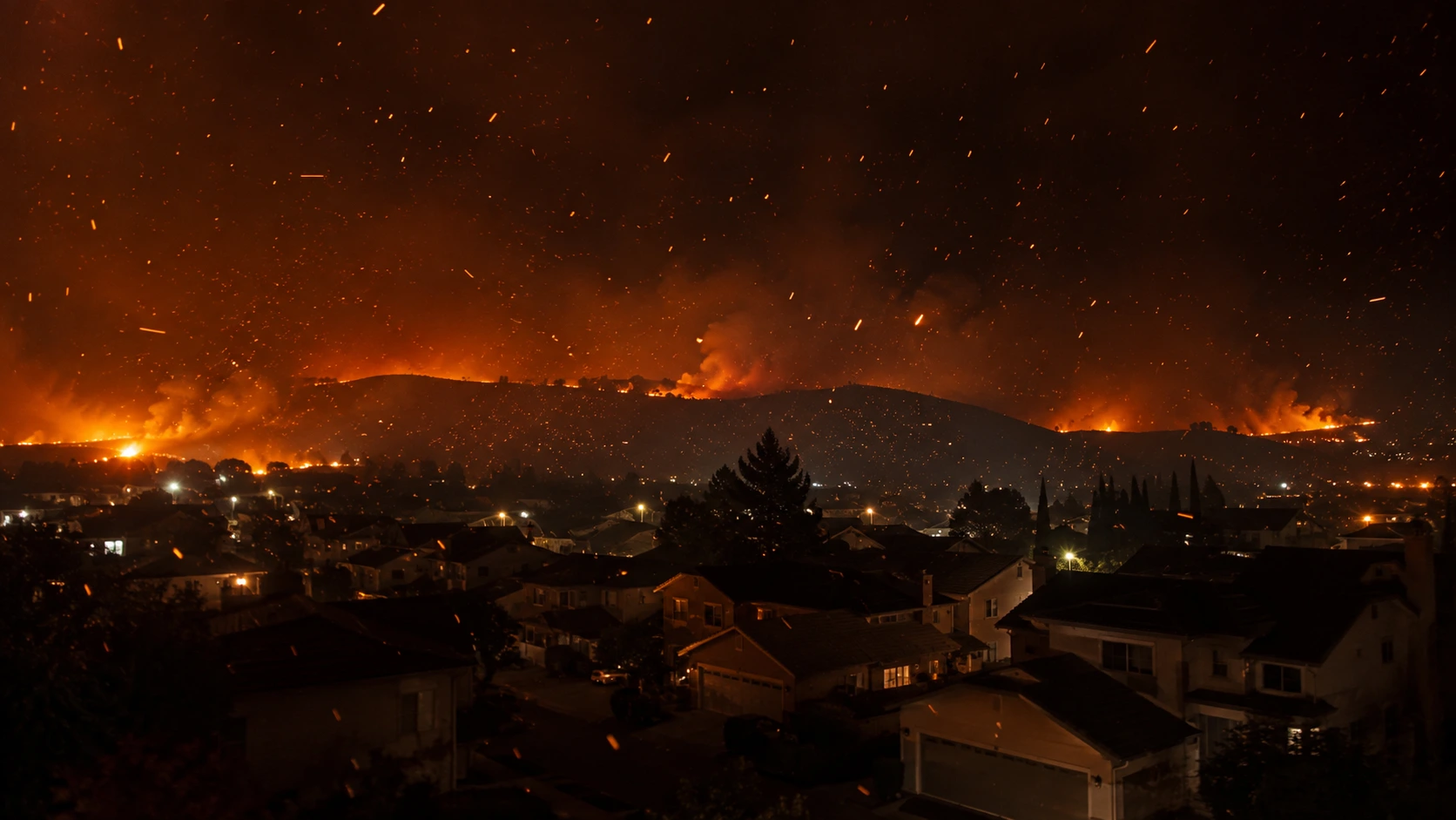
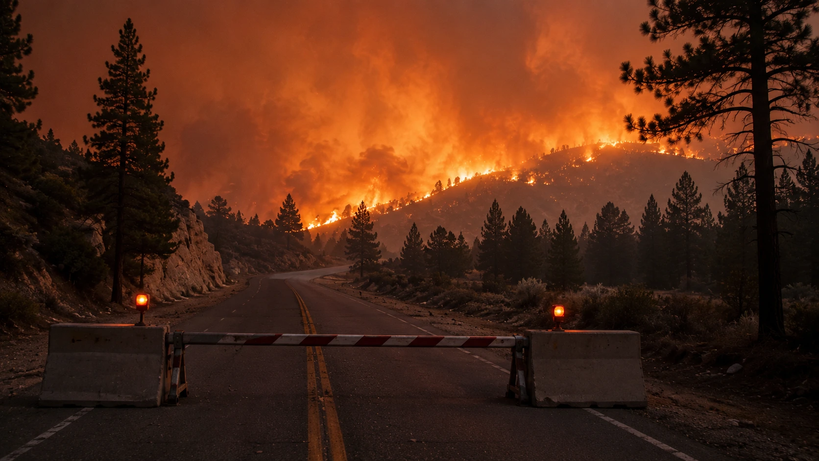
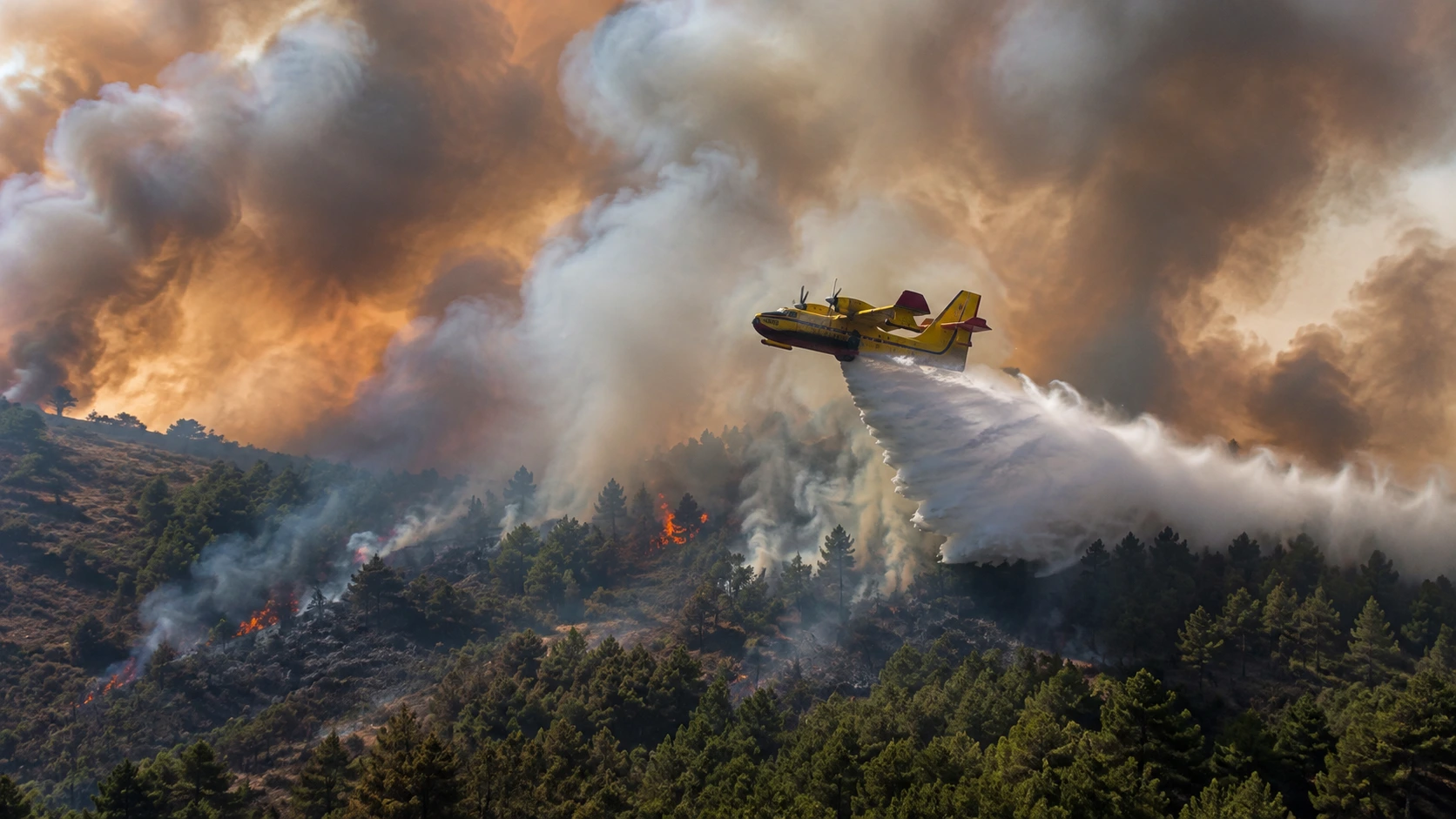
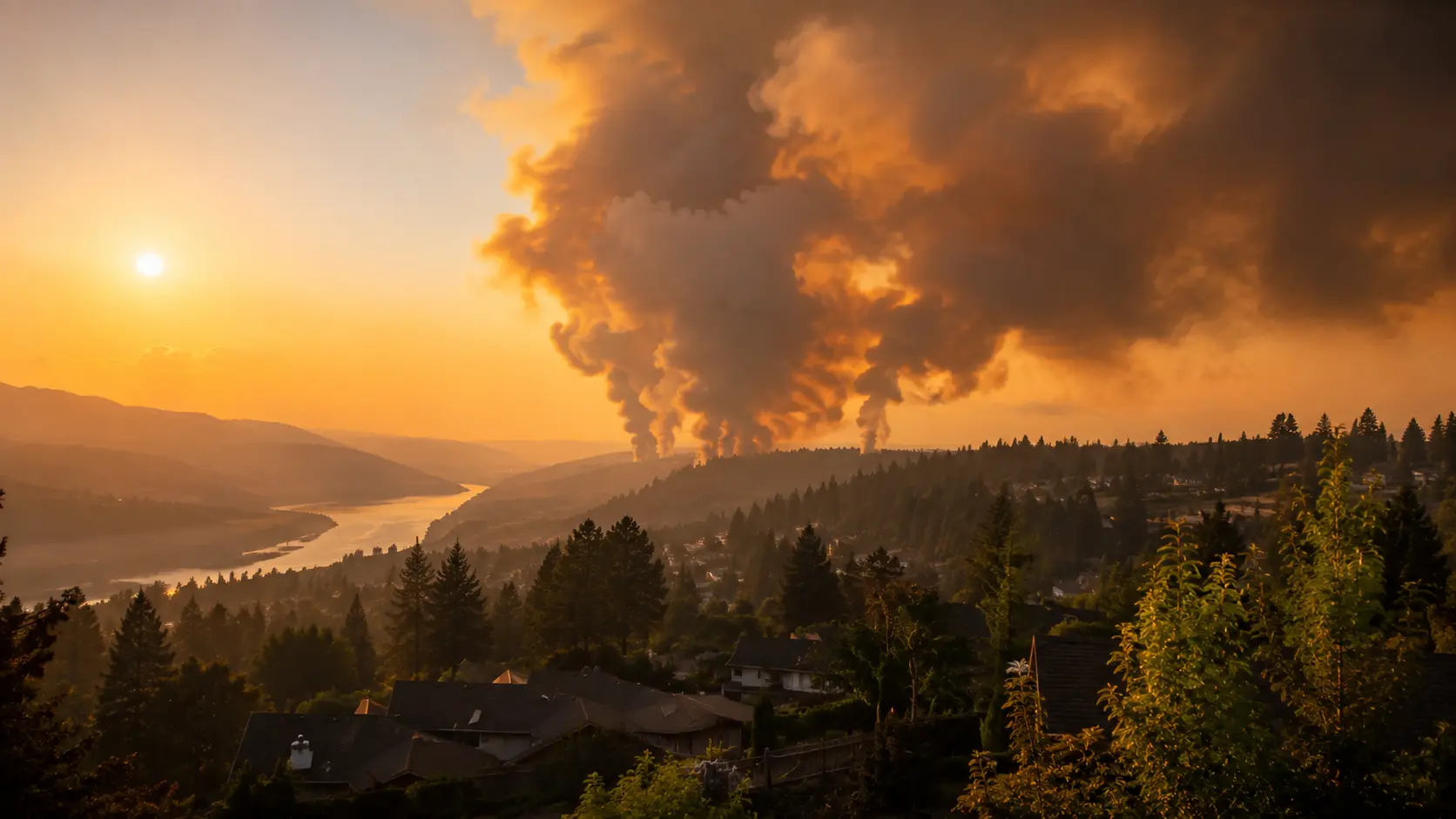
The fire jumped the Spokane River and pushed into the Suncrest area, where Stevens County Fire District 1 reported embers dropping on homes Saturday evening. Multiple homes on the cul-de-sac at the end of North Saddlewood Road were confirmed burned after the fire crossed the river, according to Spokesman-Review reporting from residents in the area. Highway 291 has been shut down into town at Nine Mile, and drivers are being told to avoid the area entirely. Large air tankers and Super Scooper aircraft have been assigned specifically to slow the Autumn Lane Fire's spread. Together with the Old Trails and Fairview fires, Autumn Lane is now managed as part of a single federally coordinated response called the Spokane Area Fires, under California Interagency Incident Management Team 7 — but it is Autumn Lane specifically that has been elevated to the nation's top wildfire priority, and it surged further downhill toward the Rutter Parkway area near Painted Rocks on Sunday evening, according to CNN.
In this article:
Why Autumn Lane Is the Nation's #1 Priority Fire
Federal wildfire resources are finite, and every day incident commanders nationwide rank active fires by threat level to decide where aircraft, hand crews, and engines get sent first. As of this weekend, the Autumn Lane Fire sits at the very top of that national list. Sen. Maria Cantwell confirmed the designation, saying that Washington would be prioritized for federal resources as a result, and CNN reported that crews are arriving from more than a dozen states and from Australia to help, according to Washington's commissioner of public lands, Dave Upthegrove.
The reasoning is straightforward: Old Trails and Fairview, while larger in cumulative damage, have largely stopped advancing. Autumn Lane has not. Fire Chief Tom Williams told CNN the fire remains active and will stay that way until crews reach every affected area, and that while it is not yet contained, firefighters have gained a degree of control over its outer boundary — control officials caution could change if wind direction shifts again, as it did over the weekend. Washington Governor Bob Ferguson said short-term federal emergency assistance through FEMA is expected to be approved, with the state also working to secure longer-term recovery aid.
Current Evacuation Zones and Levels
Evacuation orders for the Autumn Lane Fire now cover both sides of the Spokane River and extend into Stevens County. Zones are changing as the fire moves, so treat the summary below — based on the most recent KHQ zone updates — as a starting point, not a substitute for the live Spokane County and Stevens County maps.
| Level | Area (as reported) | Action |
|---|---|---|
| Level 3 — Go Now | Suncrest area; homes from Lenette north to the end of Lupin south, Lake Spokane east to Willynwood west. | Leave immediately — do not wait to gather belongings. |
| Level 2 — Get Set | Pine Bluff to Four Mound/Seven Mile; areas toward Dover; residents along West Shore north of Lenette. | Pack your vehicle and be ready to leave at a moment's notice. |
| Level 1 — Get Ready | Broader surrounding areas of Nine Mile Falls and Stevens County adjacent to Level 2/3 zones. | Monitor alerts closely and prepare a go-bag. |
Anyone unsure whether their address is inside a zone should check the Spokane County or Stevens County evacuation map directly rather than relying on neighborhood word-of-mouth, since boundaries are drawn street by street and have been updated multiple times a day since the fire started.
Old Trails and Fairview: Status Right Now
The Old Trails Fire, burning in northwest Spokane near Riverside State Park, is the largest of the three at an estimated 3,619 acres and is responsible for the majority of the more than 700 structures lost across all three fires combined, mostly in the Indian Trail neighborhood. The Fairview Fire near Mead has grown to about 1,056 acres. Neither fire is officially contained, but incident command says forward progress has essentially stopped on both — which is precisely why resources have concentrated on Autumn Lane. Combined, the three fires make up the 8,026-acre Spokane Area Fires complex, all still at 0% containment as of Monday.
Roughly 65,000 people remain under evacuation orders across the complex, and more than 4,000 personnel are now in the region helping fight the fires, including crews from more than a dozen states and international support from Australia. No deaths or serious injuries have been reported in connection with any of the three fires, though officials caution that assessment work is still ongoing. For families displaced by the fires, Spokane Public Schools has offered free emergency day camps at local schools, open to children with meals provided at no cost — check the district's website for current locations and hours, since these have been changing day to day.
What to Do If You're In or Near the Area
- ✓Check the Stevens County and Spokane County evacuation maps directly — Autumn Lane spans both counties, and zone updates don't always land on both maps at the same time.
- ✓Avoid Highway 291 near Nine Mile — it remains shut down and is being used by fire apparatus and evacuation traffic.
- ✓Treat a Level 2 order as your cue to leave, not just prepare — this fire has shown it can jump a river and spot embers well ahead of its main front.
- ✓If evacuating with animals, check current Red Cross shelter locations for small pets, and contact Stevens County Emergency Management for large-animal shelter options.
- ✗Don't assume wind direction will stay the same — officials specifically flagged shifting wind as the reason containment gains could reverse.
- ✗Don't return to check on property inside a Level 3 zone until officials declare it safe, even if you haven't seen visible flames nearby.
Where to Get Live Updates
For real-time acreage, containment, and evacuation zone boundaries, use official and local sources rather than any single news article, including this one:
- Spokane County's official evacuation map — current Level 1/2/3 zone boundaries for the Spokane County side of the fire.
- Stevens County Public Information Map — zone boundaries for the Stevens County/Suncrest side.
- Washington State Department of Natural Resources wildfire dashboard — statewide fire activity, acreage, and containment updates.
- Local broadcasters — KREM 2, KHQ, and The Spokesman-Review are providing rolling, on-the-ground coverage.
- AirNow.gov — for current air quality and smoke impact, including areas outside the fire perimeter.
We'll update this article as the situation develops. For the broader picture of what's burning across Spokane County, see our coverage of the Old Trails Fire.



Comments 0
No comments yet. Be the first to share your thoughts!
Leave a Comment