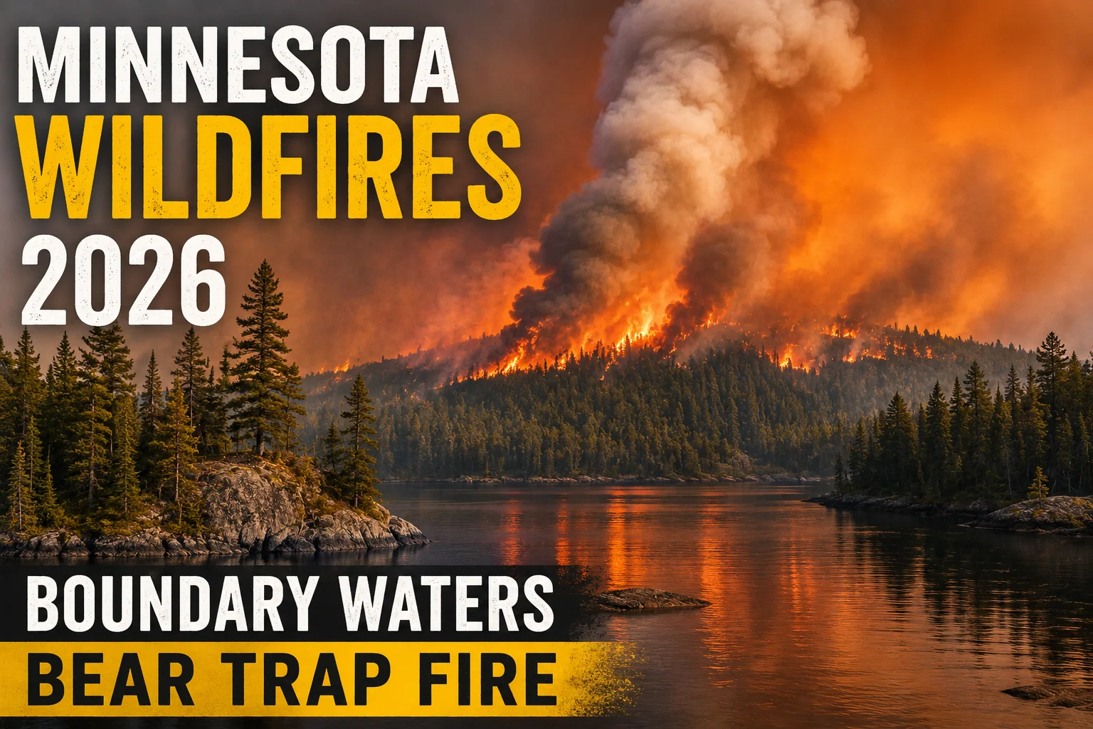

Current status:Conditions have improved significantly since the fires' explosive growth in mid-July. The largest fire, Bear Trap, is now roughly 40% contained at about 37,800 acres. Forty-one entry points — covering close to 40% of the Boundary Waters Canoe Area Wilderness — reopened to day and overnight use in late July, and Minnesota's peacetime emergency declaration was not extended in early August as conditions continued to ease. This is no longer an active evacuation emergency, but portions of the wilderness remain closed and fire activity is expected to continue into fall. Always check the official Superior National Forest closure map before planning a trip.
On July 7, 2026, a series of lightning strikes swept across the Arrowhead region of northeastern Minnesota, igniting more than a dozen fires in the dry pine forests of the Superior National Forest. Within days, several had grown rapidly amid a heat wave, prompting the U.S. Forest Service to take a step rarely seen in the wilderness area's history: a complete closure and evacuation of the 1.1-million-acre Boundary Waters Canoe Area Wilderness (BWCAW), the most-visited wilderness area in the country. At least 17 people had to be airlifted out in the early days of the closure, and the U.S. Forest Service warned that fire behavior could shift quickly enough to trap visitors with little notice.
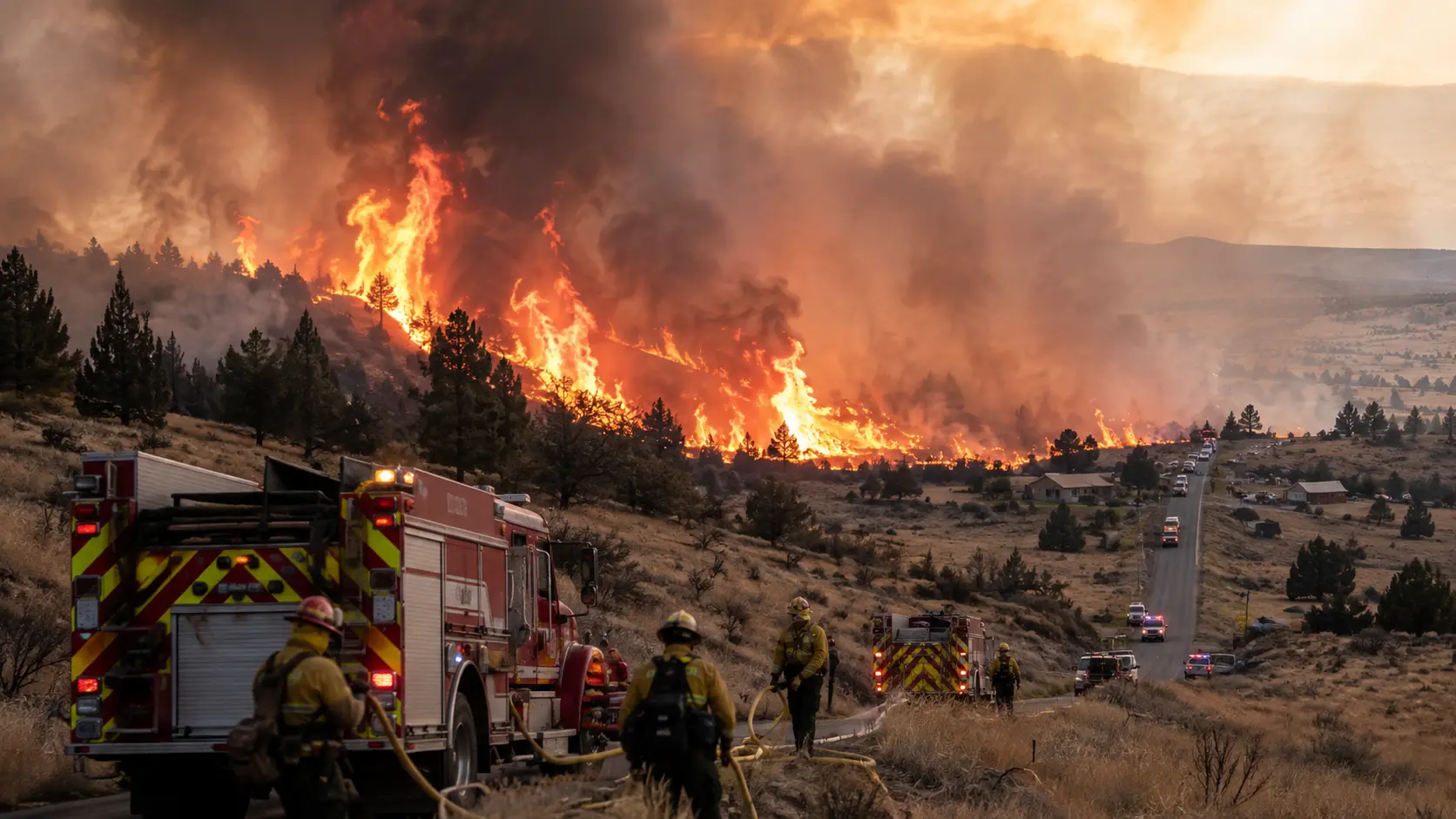
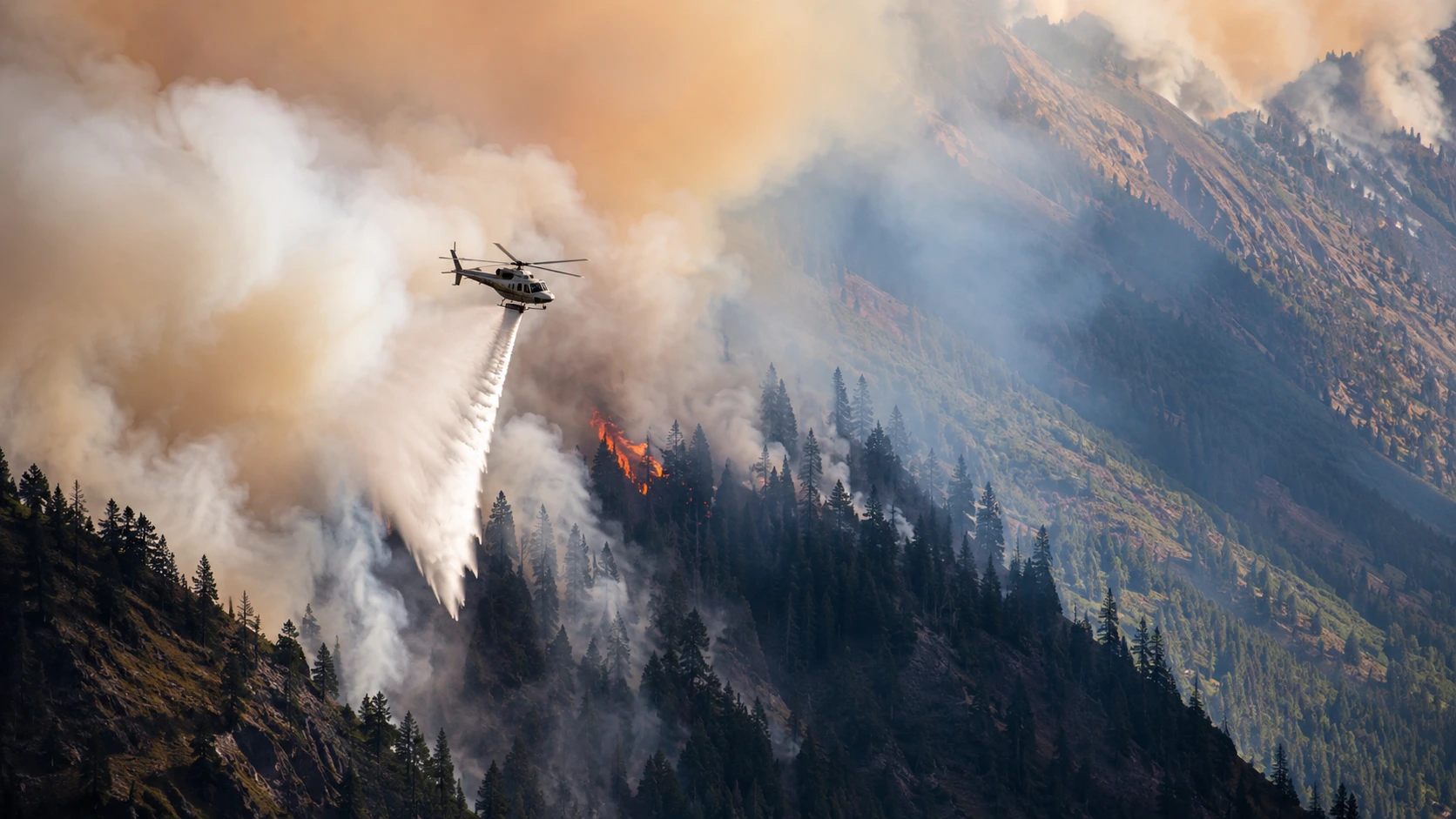
Governor Tim Walz declared a peacetime state of emergency and mobilized the Minnesota National Guard. At the peak of the response, roughly 2,400 personnel were assigned across the fires, backed by an aerial fleet of water-dropping planes and helicopters. By early August, combined acreage across the complex had passed 70,000 acres on the U.S. side alone, with additional fire spreading across the border into Ontario. "We have never seen anything like this," said Jason Loomis, a commander with the National Incident Management Organization, during a briefing in mid-July.
In this article:
The Fires, One by One
Several named fires drove most of the acreage and nearly all of the evacuations. Figures below reflect early-August containment estimates and will continue to shift as crews make progress.
| Fire | Size | Contained | Location |
|---|---|---|---|
| Bear Trap (largest) | ~37,800 acres | ~40% | 20 mi. north of Ely, crosses into Canada |
| Thumb | ~17,200 acres | ~57% | Crosses into Canada near Gakijiwanong Anishnaabe Nation |
| Sioux | ~12,500 acres | ~42% | North of the Echo Trail |
| Little Knife | ~5,000 acres (US side) | ~49% | Crossed into eastern BWCAW from Ontario |
| Camp | ~4,400 acres | ~46% | North of Winton, along Fernberg Road |
By comparison, the Bear Trap Fire alone is now roughly the same size as the 2007 Ham Lake Fire — the second-largest wildfire in Minnesota this century — making this summer's combined complex one of the most significant wildfire events the state has recorded. No deaths have been reported; three firefighters suffered minor injuries during suppression efforts.
Why These Fires Were Unusually Hard to Fight
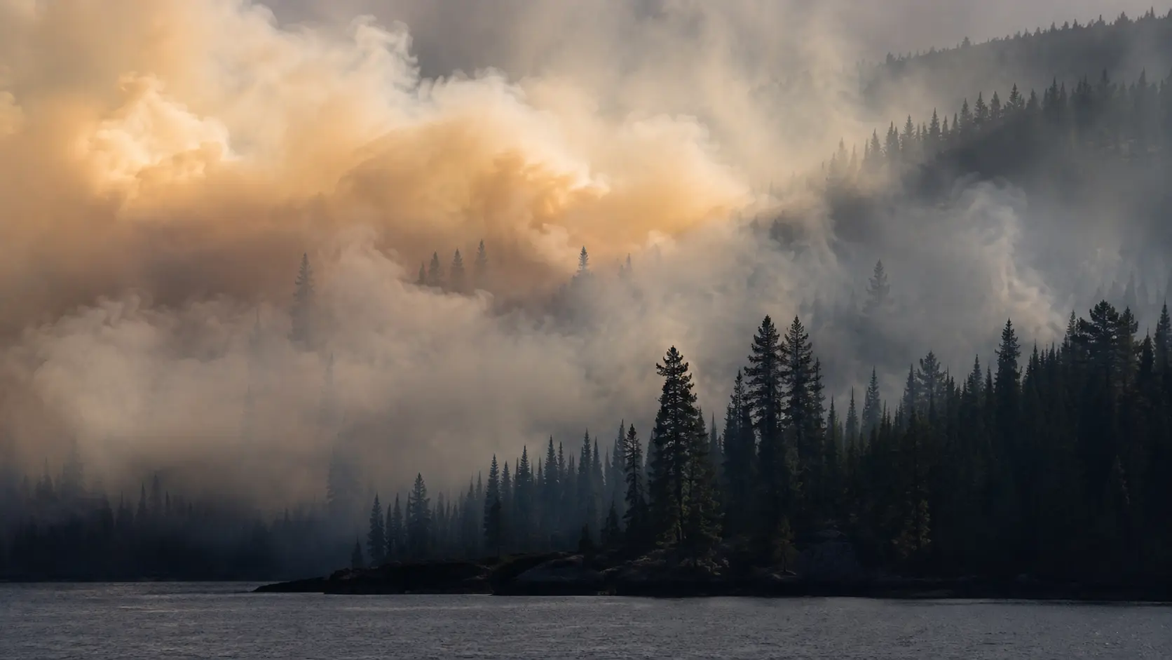
Unlike a fire burning near a highway grid, most of the BWCAW has no roads at all — access is by canoe, floatplane, or on foot, which slowed both suppression and evacuation. Officials also found the fires were burning unusually deep: investigators reported flames smoldering as far as 20 to 30 feet underground in the region's thick peat and duff layers, a depth that lets fire persist through rain events and resist typical containment lines. "In all likelihood, it will be a reduction, not a complete lifting," a U.S. Forest Service deputy forest supervisor said in mid-July. "We will have active fire on the landscape, likely for the rest of the summer, until snow flies."
Two of the fires — Thumb and Bear Trap — spread across the international border into Ontario, requiring close coordination between U.S. and Canadian fire agencies as well as First Nations communities that had to evacuate on the Canadian side. Crews also had to prioritize structure protection along the Echo Trail and Fernberg Road corridors, where cabins, resorts, and homes sit close to the wilderness boundary.
The Smoke: A Record-Breaking Air Quality Alert
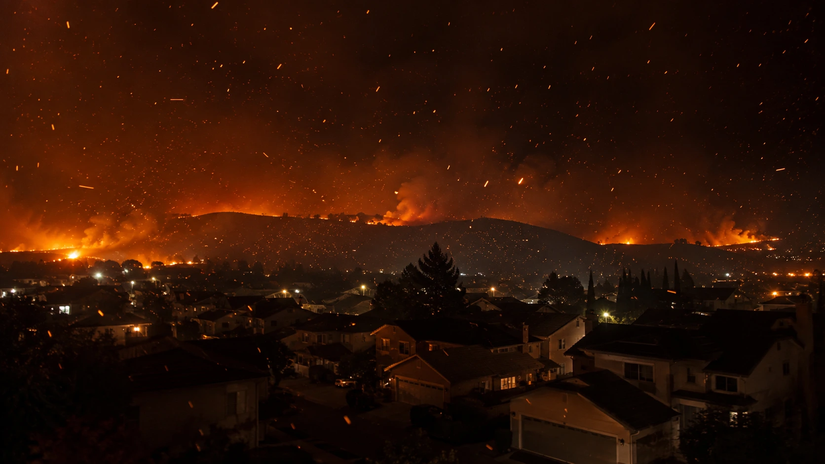
On the evening of July 16, 2026, Duluth recorded an Air Quality Index reading of 1,030 — a new state record and a level classified as hazardous many times over. Air Quality Alerts stretched across much of northern and eastern Minnesota through most of July, and smoke was reported as far away as Michigan's Upper Peninsula and the Twin Cities. "Very unhealthy" smoke settled over Ely and surrounding communities in the evenings, at times reducing visibility inside the wilderness to less than 200 feet — conditions evacuating paddlers described as forcing them to cover their faces with cloth just to breathe comfortably.
Is the Boundary Waters Open Now?
- ✓Partially, yes. The U.S. Forest Service reopened 41 entry points — about 39-40% of the wilderness — for day and overnight use in late July, with night permits following shortly after.
- ✓Burning restrictions have eased in several counties (Cook, Koochiching, Lake, and northern St. Louis) as recent rainfall lowered fire risk, allowing campfires again at private land, resorts, and staffed campgrounds.
- ✓The state's peacetime emergency was not extended as of early August, a sign officials consider conditions meaningfully improved from July's peak.
- ✓But large portions remain closed — the areas directly around Bear Trap, Thumb, Sioux, and Little Knife are still active fire zones and off-limits. Officials have said a full, immediate lifting of restrictions is unlikely; expect a gradual reduction with active fire persisting into fall.
If you're planning a Boundary Waters trip this season, check your specific entry point against the current closure map before you go — reopened zones can change on short notice if weather shifts fire behavior.
Where to Check Current Conditions
- Superior National Forest closure and entry-point map — the authoritative source for which entry points and zones are currently open.
- Minnesota Incident Command System (mnics.org) — official containment and acreage updates for all active Minnesota fires.
- Minnesota DNR — current burning restrictions by county.
- InciWeb (inciweb.wildfire.gov) — federal incident pages for the named fires.
- AirNow.gov — current air quality for Duluth, Ely, and the Iron Range.
We'll update this article as containment improves and more of the wilderness reopens.



Comments 0
No comments yet. Be the first to share your thoughts!
Leave a Comment