
GORMAN, California | Published October 09, 2026 at 11:28 AM EDT (New York time)
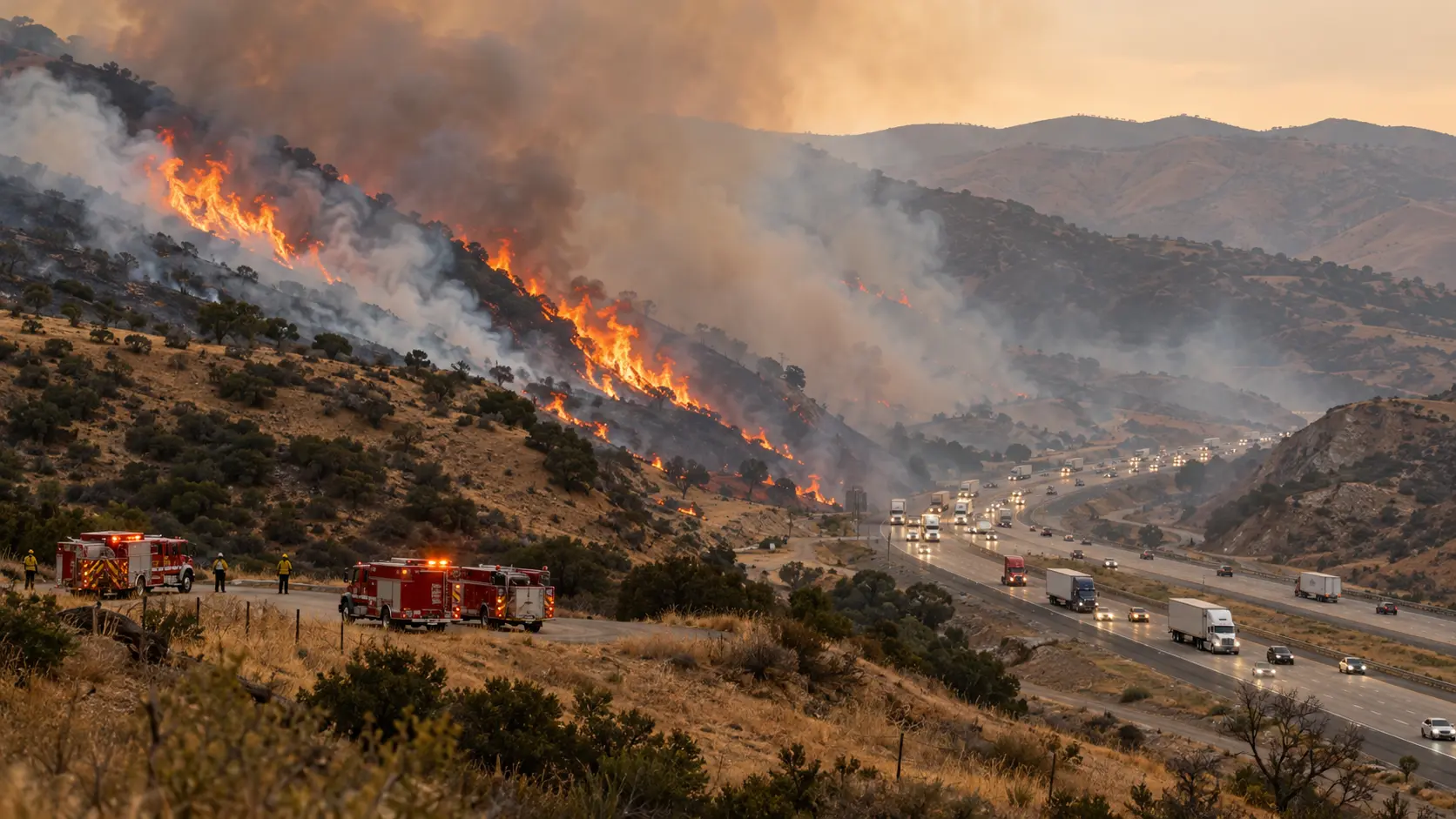
The Danny Fire, a brush fire that broke out near Interstate 5 and Smokey Bear Road south of Gorman on Thursday, October 8, 2026, shut down traffic through the Grapevine and sent evacuation alerts to nearby communities. The fire grew from an initial response measured in single-digit acres to roughly 150 acres that evening. Fire crews stopped its forward spread, and the interstate reopened in both directions. The fire was not yet described as fully contained in reports available Friday morning.
Travelers searching for the “Gorman fire on the 5 Freeway” and residents checking the “Danny Fire evacuation map” are looking for different answers. The first question is whether the highway is passable; the second is whether a particular home or neighborhood is under an order. Those decisions depend on separate agencies and can change even when the acreage does not.
- Location: Near I-5 and Smokey Bear Road, south of Gorman, Los Angeles County, California
- Start: October 8, about 4:50 p.m. Pacific time, according to regional reporting citing CAL FIRE
- Reported area: 150 acres
- Containment: CAL FIRE incident listing showed 13%; later Friday reporting and an NBC Los Angeles Thursday-night update cited 21%. These are differently timed reports, not simultaneous measurements.
- Forward spread: Stopped Thursday evening; this is not the same as extinguished
- Highway: Both directions of I-5 reopened Thursday evening; check Caltrans for current restrictions
- Cause: Under investigation
Where the Danny Fire started near Gorman and the Grapevine
The incident was reported near the I-5 corridor at Smokey Bear Road, a short distance south of Gorman. This is the Grapevine route where Interstate 5 crosses the mountains between Southern California and the San Joaquin Valley. The road runs beside brush-covered slopes, with access roads and scattered rural properties nearby. A small fire in this setting can disrupt much more than the land inside its perimeter because smoke and emergency vehicles can affect a major interstate almost immediately.
The Angeles National Forest and Los Angeles County firefighting agencies were involved in the response. Coverage placed the fire near Lebec and Gorman; those geographic descriptions refer to the same general I-5/Smokey Bear Road incident, not separate fires. The Danny Fire should also not be confused with the unrelated Bouquet Fire, which began several days earlier elsewhere in Los Angeles County.
Danny Fire timeline: ignition, evacuation alerts and I-5 reopening
The sequence below reflects agency statements carried in local reporting on October 8. Times are Pacific Daylight Time; early estimates changed rapidly during the first hours of the response.
| Milestone | What officials reported |
|---|---|
| About 4:50 p.m., October 8 | Danny Fire reported near I-5 and Smokey Bear Road. Early estimates described a fire of about 5–10 acres. |
| Approximately 5:45 p.m. | An evacuation order was reported for a section between Old Ridge Road and I-5 near Bald Mountain; adjacent communities received warnings. |
| About 6:45 p.m. | The burn area was estimated around 140 acres, as crews worked to secure the flanks and protect nearby structures. |
| Shortly after 7:10 p.m. | Los Angeles County Fire Department said firefighters had stopped the fire’s forward progress. |
| By approximately 8:00 p.m. | Both directions of Interstate 5 were reported reopened after staged lane openings. |
| Thursday night into Friday | Evacuation footprint was reduced; CAL FIRE listed 150 acres and 13% containment, while later reports cited 21%. |
The distinction between “forward progress stopped” and “contained” matters. Crews can prevent a fire from advancing while substantial portions of its perimeter remain without a secured control line. Mop-up, patrol and work on hot spots may continue after the most visible flames have subsided.
Is Interstate 5 open through the Grapevine after the Danny Fire?
Both directions reopened Thursday evening, October 8, according to the Los Angeles Times and NBC Los Angeles. The temporary shutdown centered on the Smokey Bear Road area. California Highway Patrol said smoke had affected visibility, and the reopening happened in stages before the route was fully opened around 8 p.m. This is a historical status report, not a guarantee of present roadway conditions.
If you are driving from Los Angeles toward Bakersfield, or southbound toward the Los Angeles basin, check Caltrans QuickMap and Caltrans highway conditions before leaving. A reopened freeway can still have reduced speeds, temporary shoulder closures, emergency equipment access or residual delays. Do not use a news article as live navigation.
Why a 150-acre wildfire can close a major freeway
Wildfire acreage alone does not tell highway managers whether traffic can safely pass. Smoke can cut visibility abruptly across multiple lanes; a roadside fire can generate radiant heat; and engines, dozers or aircraft may need a protected operational area. Those considerations explain why even a comparatively limited brush fire along I-5 can trigger a full closure. Specific lane closure decisions in this incident were made by authorities managing the scene, not by a fixed acreage threshold.
Danny Fire evacuation order and warning areas
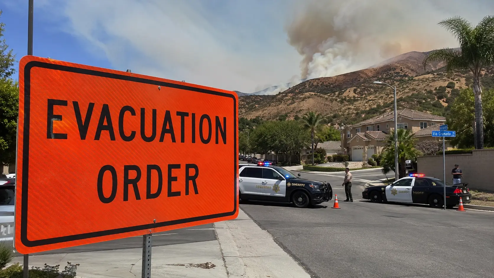
Thursday’s evacuation order covered an area described by officials as west of Old Ridge Road and east of Interstate 5 near Bald Mountain. Warning areas included portions of the Gorman and Hungry Valley vicinity. As firefighters slowed the blaze, authorities reduced the emergency footprint, with later reports limiting orders to the immediate fire area and neighboring parcels.
If you live near Gorman, Hungry Valley or the interstate, your address and current zone designation matter more than the summary above. Use Los Angeles County Emergency for the active incident and evacuation guidance. An evacuation order means leave; a warning means be prepared to leave if conditions worsen. Never return solely because a highway has reopened.
The Los Angeles County emergency page distinguishes the Danny Fire from the Bouquet Fire. Be sure you are viewing the correct incident before interpreting a map marker, warning polygon or road closure. Evacuation boundaries can change faster than syndicated reports are updated.
What firefighters faced along the I-5 corridor
The Los Angeles County Fire Department described a multi-resource response. According to the Los Angeles Times, crews used ground engines and bulldozers with helicopter and fixed-wing aerial support, including water-dropping aircraft. Early reports also noted a threat to roughly 40 structures in an evacuation-order area. That figure describes a reported threat at the time, not confirmed damage or a final count of affected properties.
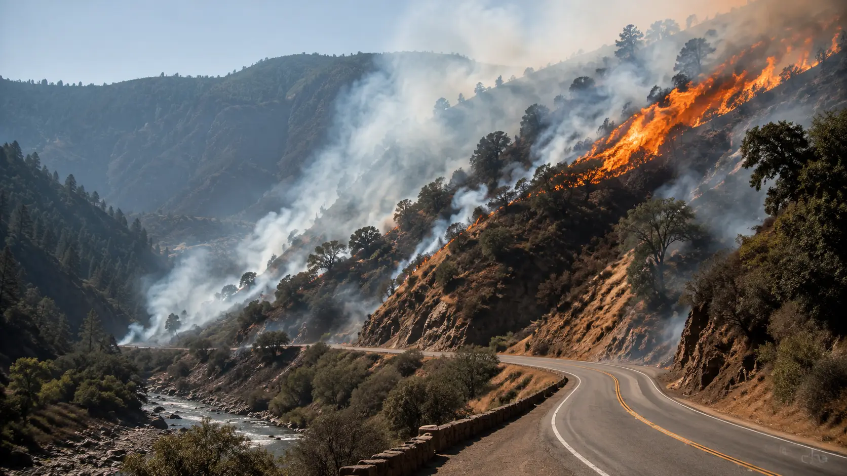
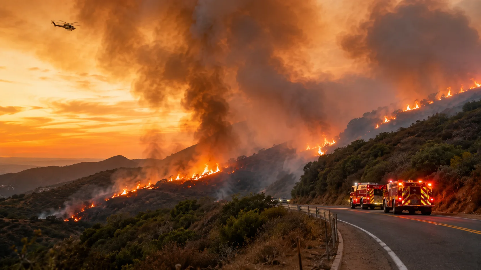
The wildfire was on a landscape where grass and brush can carry flame uphill and across open slopes. For incident commanders, a fast-developing roadside fire presents two simultaneous tasks: holding the fire away from communities and maintaining safe access for crews alongside a busy transportation artery. Defensive structure protection and perimeter work may require apparatus to operate where traffic and smoke would otherwise create additional hazards.
Ground crews, aircraft and the limits of an air attack
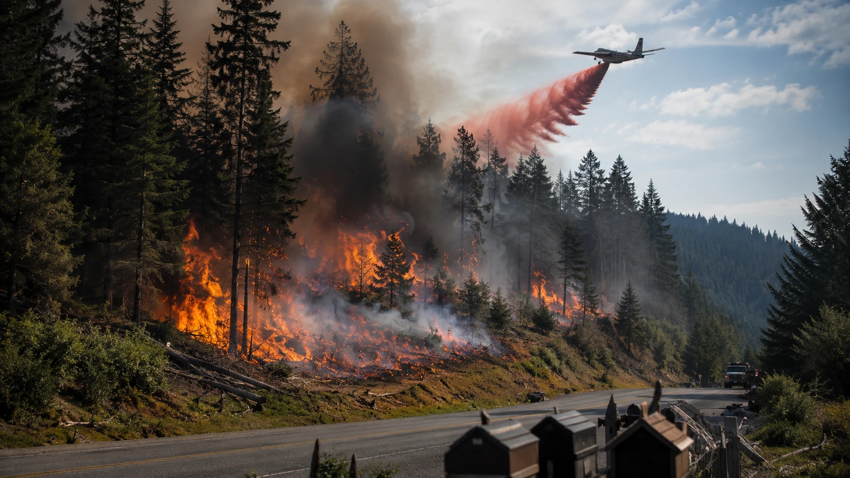
Aircraft can slow spread and help crews reach hard-to-access terrain, but dropping water does not by itself establish a durable fire line. Ground resources must secure edges, deal with remaining heat and monitor any places where wind or slope could cause a new run. Fire aviation is also constrained by visibility, airspace management and the need to avoid exposing crews or drivers to unnecessary hazards. These are general operational principles, not claims that any particular tactic failed or succeeded at the Danny Fire.
Bulldozers can establish access and construct control lines in suitable terrain, while hand crews work locations machines cannot reach. Structure-protection decisions depend on the immediate threat, available egress and the safety of firefighters. For readers interested in these considerations beyond the incident, see our wildfire behavior guide and wildfire structure defense guide.
Acreage and containment: why reports say 13% or 21%
The 150-acre size estimate appears in CAL FIRE’s public incident listings and multiple news reports. Containment figures, however, changed during Thursday evening and Friday morning. The CAL FIRE incident list available for this report displayed 13% containment; NBC Los Angeles cited 21% in a later October 8 update, and a Friday report likewise used 21%. Rather than averaging these numbers, readers should treat each as a snapshot from the time and source shown.
Containment is an estimate of how much of a fire perimeter has a completed, reasonably secure line. It does not mean the corresponding percentage of acreage has already burned out, and the remaining percentage is not a forecast of how much will burn. For the latest official figures, use the CAL FIRE Danny Fire incident page.
Was anyone injured, and what caused the Danny Fire?
A Los Angeles County Fire Department spokesperson told the Los Angeles Times on Thursday evening that no injuries were known at that point. That should not be turned into an unconditional claim that there were no injuries throughout the incident. No cause had been announced in the sources reviewed for this article; CAL FIRE described the origin as under investigation. Neither vehicle activity nor a particular ignition source should be named as the cause without investigators’ findings.
Likewise, “structures threatened” is not the same as “structures destroyed.” Early protective actions are meant to prevent loss, and reliable post-incident damage totals require assessment. Any verified change in injuries, damage or cause will warrant updating this report.
Where to get reliable Danny Fire updates
- CAL FIRE — Danny Fire incident record for reported acres, containment and incident status
- Los Angeles County Emergency for evacuation instructions and local updates
- Caltrans QuickMap for current highway restrictions
- Los Angeles Times, October 8 for the response timeline and highway reopening
- NBC Los Angeles, October 8 for the evening fire and evacuation updates
- MyNewsLA, October 9 for the Friday containment report
This article documents the October 8 fire and information available as of the publication timestamp above. For urgent directions, use local agency alerts rather than archived reporting.
Frequently asked questions about the Danny Fire
Where is the Danny Fire burning in California?
It began near Interstate 5 and Smokey Bear Road south of Gorman in northern Los Angeles County, near the Grapevine corridor.
Is the 5 Freeway open after the Danny Fire near Gorman?
Both directions of I-5 were reported reopened by Thursday evening, October 8, 2026. Check Caltrans QuickMap for current conditions before travel.
How many acres is the Danny Fire?
CAL FIRE and news reporting listed approximately 150 acres for the October 8 incident. The figure can change as mapping is refined.
What is the Danny Fire containment percentage?
CAL FIRE’s incident listing showed 13%, while later Thursday-night and Friday reporting cited 21%. Check the dated CAL FIRE incident update for the latest confirmed figure.
Where can I check Danny Fire evacuation zones?
Use the Los Angeles County emergency page and its linked evacuation map. Thursday orders and warnings affected areas near Old Ridge Road, I-5, Bald Mountain and Hungry Valley, but boundaries were later reduced.
What caused the Danny Fire in Gorman?
The cause remained under investigation in reporting reviewed on October 9, 2026. No confirmed ignition source was announced.
Is the Danny Fire the same as the Bouquet Fire?
No. The Danny Fire began October 8 near Gorman and I-5. The Bouquet Fire is a separate wildfire that started earlier in Los Angeles County.




Comments 0
No comments yet. Be the first to share your thoughts!
Leave a Comment