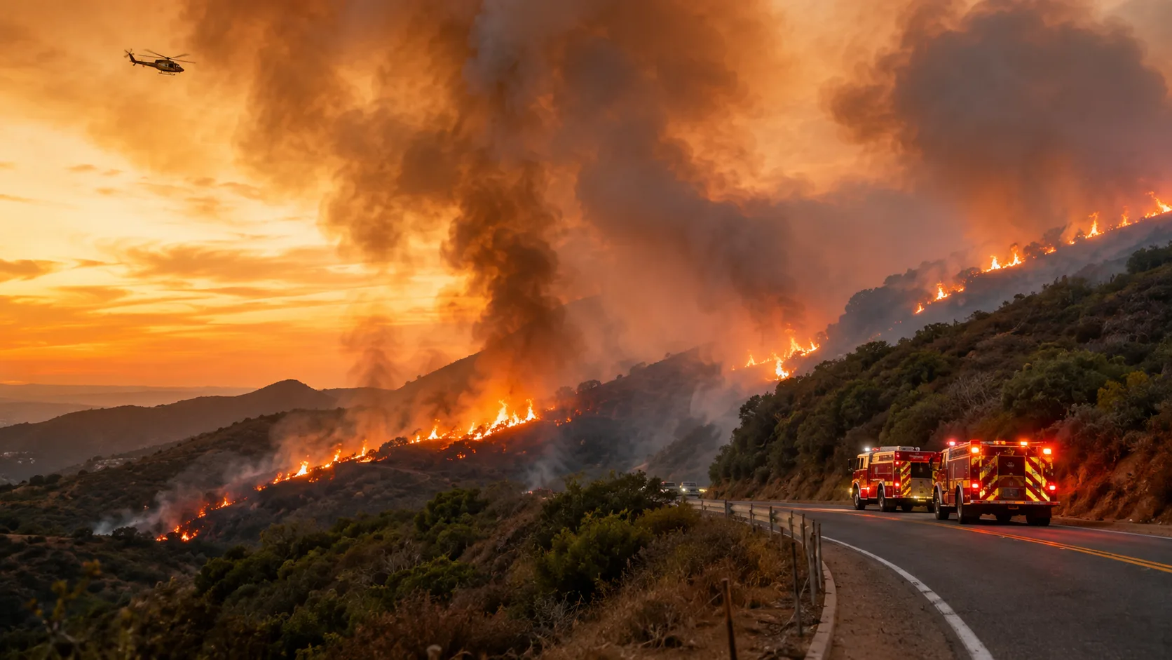

Latest update: The Gibby Fire, also being searched locally as the Ortega Fire, is now 90% contained at 230 acres near Ortega Highway (SR-74) and Gibby Road in Orange County, according to CAL FIRE’s incident page. All shelter-in-place orders issued the first afternoon were lifted the same evening, and no homes were reported threatened or damaged. Ortega Highway (SR-74) remains closed between Gateway in Rancho Mission Viejo and Grand in Lake Elsinore as of the latest confirmed update. The cause remains under investigation.
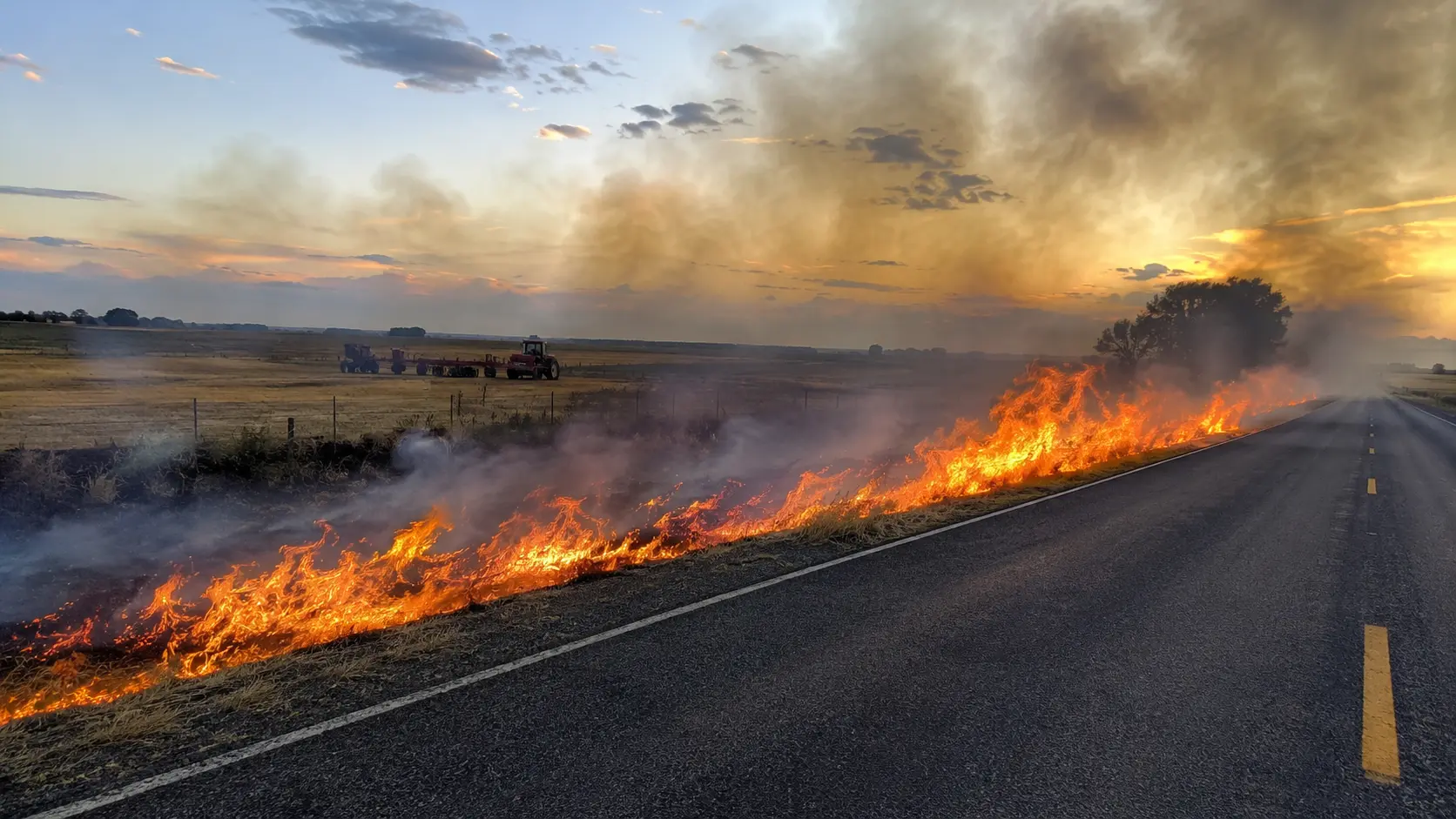
A fast-moving brush fire broke out Wednesday, September 2, 2026, along the Ortega Highway corridor near Rancho Mission Viejo and San Juan Capistrano in Orange County, California. The incident is officially listed as the Gibby Fire. It began near Ortega Highway and Gibby Road, expanded quickly enough to trigger shelter-in-place orders and a closure of State Route 74, and was stopped by crews the same evening. In the days since, containment has climbed steadily as crews worked the fire perimeter, reaching 90% by the morning of September 5.
The fire was initially reported at only a few acres around 2 p.m. Local fire officials later reported it at 150 acres, and less than half an hour after that the estimate climbed to about 450 acres. The fire was then re-mapped smaller at 216 acres, and by 7:30 p.m. OCFA announced forward progress had stopped. Overnight into Thursday, the fire was remapped again at 217 acres with containment at 5%; by Thursday evening containment had risen to 88% at 230 acres, and by Saturday morning, September 5, CAL FIRE listed the fire at 90% contained at 230 acres. The Orange County Fire Authority is the primary local fire agency responding to the blaze, working in unified command with CAL FIRE, the U.S. Forest Service, CHP, the Orange County Sheriff's Department and OC Parks.
In this article:
Latest Gibby Fire Status
| Incident name | Gibby Fire |
| Date started | September 2, 2026 |
| Location | Ortega Highway and Gibby Road, Orange County, California |
| Size | 230 acres, per the latest CAL FIRE incident page reviewed |
| Rate of spread | None; forward progress has been stopped since the first evening |
| Containment | 90% contained, per CAL FIRE, as crews continue mop-up and patrol |
| Cause | Under investigation |
The Gibby Fire developed quickly on its first day, with acreage estimates shifting several times between agency updates: from a few acres to 130, 150 and 450 acres before being re-mapped at 216 and then 217 acres. The final mapped size settled at 230 acres, with containment climbing from 0% the first night to 5%, 53%, 78%, 88% and finally 90% by the morning of September 5. Crews remain on scene for mop-up and patrol while monitoring for any flare-ups.
Where the Gibby Fire Is Burning
The fire is burning near Ortega Highway (State Route 74) and Gibby Road, in the Rancho Mission Viejo/San Juan Capistrano area of Orange County. CAL FIRE lists the incident coordinates near 33.548648, -117.548541. The Ortega Highway corridor runs east-west through rugged terrain between Orange County and Riverside County, making SR-74 an important travel route as well as a key access corridor for emergency resources.
Why some people are searching for “Ortega Fire”: The incident is officially listed as the Gibby Fire, but searches for “Ortega Fire” and “Ortega fire today” are also circulating because the blaze is directly affecting Ortega Highway. When checking official sources, use the incident name Gibby Fire.
Ortega Highway Closures
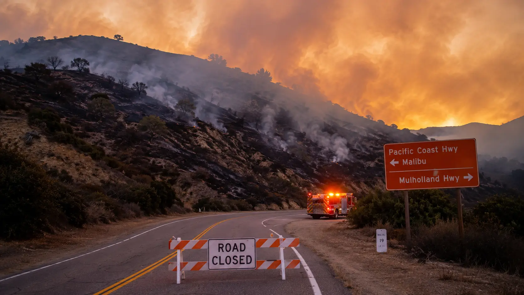
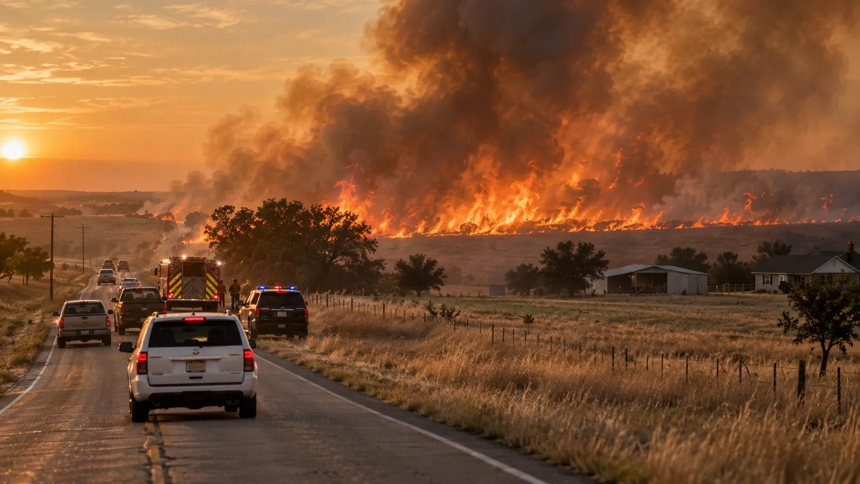
The fire forced closures on Ortega Highway (SR-74). The latest confirmed local report said the highway was closed eastbound at Gateway in Rancho Mission Viejo and westbound at Grand in Lake Elsinore. Drivers should avoid using Ortega Highway as a through-route while firefighting operations continue.
Road closures can move quickly as fire engines, hand crews, aircraft support vehicles and law-enforcement traffic control are repositioned. Before traveling between Orange County and the Lake Elsinore area, check Caltrans QuickMap for current state-highway conditions.
Gibby Fire Evacuation Status
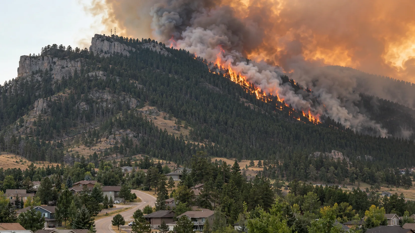
Latest status: Shelter-in-place orders were issued Wednesday afternoon for Casper’s Park and Rancho Carrillo in Orange County and zone RVC-2074 in Riverside County, but all shelter-in-place orders have since been lifted. No evacuation warnings or evacuation orders were issued, and no homes were reported threatened or damaged.
A lack of an evacuation order does not mean there was no risk earlier in the incident. Shelter-in-place orders were used instead of a full evacuation while crews assessed the fire’s spread; residents near wildfire-prone corridors like Ortega Highway should still keep emergency alerts enabled and prepare early, since conditions can escalate quickly before authorities issue formal instructions.
Firefighting Response
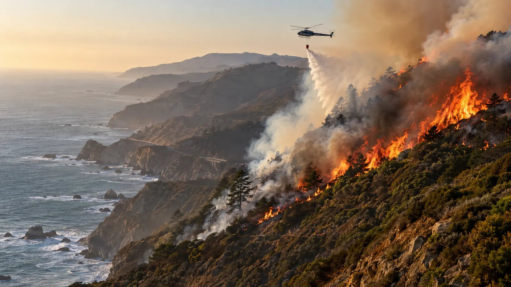
Orange County Fire Authority crews attacked the fire from the ground while additional firefighting aircraft, including Firehawk helicopters and fixed-wing air tankers, along with hand crews and dozers, were brought in. OCFA worked in unified command with CAL FIRE, the U.S. Forest Service, the California Highway Patrol, the Orange County Sheriff's Department and Orange County Parks. By 7:30 p.m., OCFA Incident Commander Cheyne Maule announced that forward progress on the fire had been stopped at approximately 250 acres, with crews remaining on scene for mop-up and monitoring over the following days.
The rapid early increase in reported acreage is one reason the response was escalated so quickly. In a wind- or terrain-influenced brush fire, the most important operational priority is not simply the acreage number; crews must protect life, keep evacuation routes usable, slow the head of the fire and prevent new runs from establishing across roads or natural barriers — objectives OCFA said were achieved by Wednesday evening.
What Residents and Drivers Should Do
- ✓Avoid Ortega Highway through the closure area. SR-74 remains closed between Gateway and Grand while crews finish mop-up; do not drive toward the area to look at the fire or take photographs.
- ✓Keep emergency alerts enabled. Evacuation warnings can be issued with little notice when a brush fire is spreading rapidly.
- ✓Prepare your vehicle and go-bag now if you live near the fire area, especially if anyone in your household needs additional evacuation time.
- ✓Use official maps and agency updates. Acreage estimates on social media can lag behind or get ahead of confirmed incident mapping.
- ✗Do not wait for visible flames before leaving if authorities issue a shelter-in-place, warning or evacuation order in the future.
Where to Get Live Gibby Fire Updates
For the latest acreage, evacuation status and road closures, use official or on-the-ground sources. Breaking wildfire information can change faster than a news article can be updated.
- CAL FIRE — Gibby Fire incident page for the state incident listing, location and official status updates.
- Orange County Fire Authority for local fire-agency information.
- Caltrans QuickMap for live SR-74 road and closure information.
- ABC7 Los Angeles for rolling local coverage of the fire and highway closure.
Incident update: The Gibby Fire is 90% contained at 230 acres as crews continue mop-up and patrol. Ortega Highway (SR-74) remained closed between Gateway and Grand as of the latest confirmed update. Road status can change quickly as containment increases; follow Caltrans QuickMap and local authorities for the latest before traveling.


Comments 0
No comments yet. Be the first to share your thoughts!
Leave a Comment