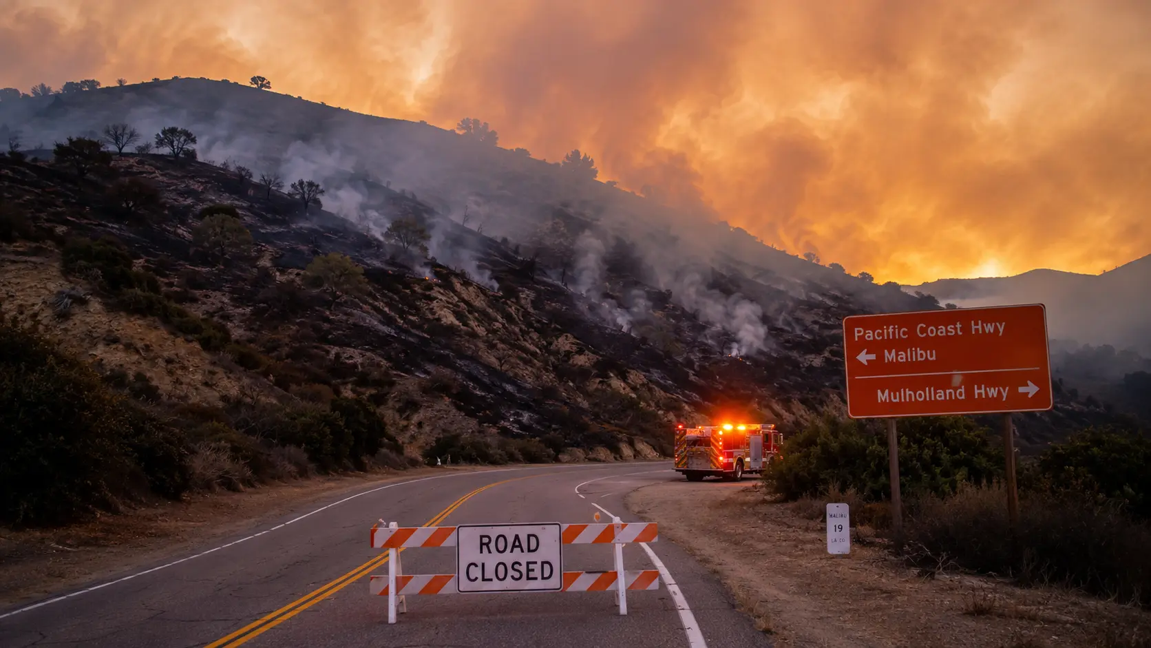

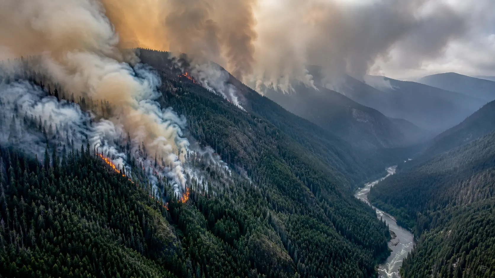
Latest update, October 16, 2026, about 12:45 p.m. PT: The Norte Fire, a wind-driven brush fire in San Clemente, started around 11:30 a.m. near Portico Del Norte. The Orange County Fire Authority (OCFA) put it at about 50 acres and growing, with structures threatened and crews attacking from the ground and air. Early reports ranged from 50 to 70 acres. No injuries and no evacuations were reported in the first coverage, and the cause is unknown. Acreage and status are changing quickly, so check the official sources linked below before you act on any number on this page.
If you searched "orange county fire today" or "is there a fire near me", the incident to know about right now is the Norte Fire in south Orange County. This page tracks what has been confirmed by OCFA and news crews on scene, what has not, and where to find official maps, closures and evacuation alerts.
In this article:
Active Orange County Fire Incidents Today
The only active wildfire reported in Orange County in the coverage reviewed for this update is the Norte Fire in San Clemente. A separate fire, the Bryson Fire in Malibu, is also in the news today, but it is in Los Angeles County and has its own evacuation zones. Those zones do not apply to Orange County residents.
| Incident | Location | Size | Status |
|---|---|---|---|
| Norte Fire | Near Portico Del Norte, San Clemente | About 50 to 70 acres (early estimate) | Active. Structures threatened. Containment not yet reported. |
| Gibby Fire (Ortega Fire) | Ortega Highway (SR-74) and Gibby Road, Rancho Mission Viejo | About 230 acres | Started September 2. Fully contained. |
Numbers in this table come from OCFA statements and local news reports from Friday, October 16, and early fire estimates usually change as crews map the perimeter. Cross-check with the live maps below before making travel or safety decisions.
Norte Fire: What Is Confirmed So Far
OCFA said the fire was reported shortly after 11:30 a.m. Friday in the area of Portico Del Norte in San Clemente. By early afternoon the agency listed it at about 50 acres, said structures were threatened, and asked people to stay away from the area while crews work it from the ground and air. Officials did not know yet whether the threatened structures were homes.
Capistrano Unified School District told parents that students were being kept indoors because of the smoke. Temperatures in the area were around 90 degrees under a heat advisory, and the cause of the fire had not been determined.
Not confirmed yet: final acreage, containment percentage, the number of structures involved, any damage, and whether evacuation warnings or orders will be issued. We will not post a figure here until OCFA or CAL FIRE publishes it.
Santa Ana Winds and Fire Weather
Strong Santa Ana winds are blowing across Southern California today, and local meteorologists say they are pushing the Norte Fire toward the coastal communities of south Orange County. Dry air, heat and gusts are a bad combination for brush fires. Wind-driven fires throw embers ahead of the main fire line, so spot fires and structure threats can develop faster than the acreage number suggests.
The same wind event has led Southern California utilities to cut power as a safety measure, leaving tens of thousands of customers without electricity across the region. If you are in an affected area, charge phones and keep a battery radio or power bank within reach.
Road Closures
No specific road closures for the Norte Fire had been confirmed in the sources reviewed for this update. OCFA is asking the public to avoid the area, and you should expect local streets around Portico Del Norte to be restricted as engines, hand crews and law enforcement set up access control. Check Caltrans QuickMap for state highway conditions before you leave, and do not drive toward the smoke to look at the fire.
Evacuation Status
At the time of the earliest reports: no evacuations or injuries had been reported for the Norte Fire. With a wind-driven fire and threatened structures, that can change within minutes. If you live in or near San Clemente, make sure emergency alerts are turned on and be ready to leave quickly.
To check whether your address is in an evacuation zone, use AlertOC, Orange County's official emergency notification system, and the Watch Duty map. Do not rely on social media posts alone.
Live Fire Maps for Orange County
Fire perimeters can shift within minutes in these winds, so use the official tools below instead of a static article.
- CAL FIRE Incidents Map for statewide incident listings and perimeters.
- Orange County Fire Authority and its X account for statements from the incident commanders.
- Watch Duty for real-time wildfire alerts and acreage updates.
- Caltrans QuickMap for live highway and road-closure conditions.
What to Do If You Smell Smoke or See Flames
- ✓Check Watch Duty or the CAL FIRE map first. Confirm whether the smoke is tied to a known incident before assuming the worst.
- ✓Sign up for AlertOC if you live or work in Orange County so evacuation and shelter-in-place messages reach you directly.
- ✓Keep windows and vents closed and set your car or home air system to recirculate if smoke is heavy. Limit time outdoors, especially for children, older adults and anyone with asthma.
- ✓Have a go-bag by the door with medications, documents, chargers, water and pet supplies if you live near open brush or a canyon.
- ✗Do not drive toward the fire to watch or film it. It blocks engines and evacuation routes.
- ✗Do not wait to see flames before you leave. If you get a warning or an order, go.
Earlier This Season: The Gibby Fire
Orange County's previous major brush fire this fall was the Gibby Fire, which started around 2 p.m. on September 2 near Ortega Highway and Gibby Road in Rancho Mission Viejo. It was first reported at 450 acres, then re-mapped to about 220 to 250 acres, and OCFA stopped its forward progress that evening. Shelter-in-place orders in the Rancho Carrillo area were lifted the same night, and no evacuation orders were issued. The fire finished at about 230 acres and has since been fully contained.
Full details: The timeline, closures and evacuation history are in our separate coverage of the Gibby Fire near Ortega Highway.
Where to Get Live Updates
Acreage, containment and evacuation status are the numbers that change fastest during a wind event. Use these sources for the current picture:
- Orange County Fire Authority for local incident statements.
- CAL FIRE for the state incident listing.
- Watch Duty for real-time alerts.
- AlertOC for official Orange County emergency notifications.
About this page: It was last updated on October 16, 2026, using OCFA statements and local news reports from the first hours of the Norte Fire. All times are Pacific. We will revise the acreage, containment and evacuation details as official numbers are released.

Comments 0
No comments yet. Be the first to share your thoughts!
Leave a Comment