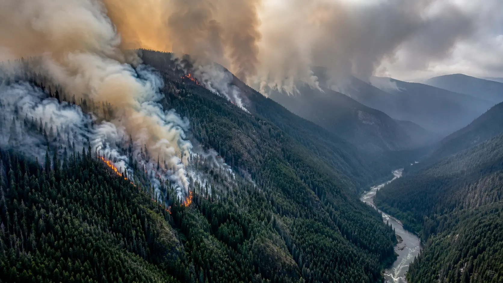

0% contained after more than three weeks. The Austin Fire ignited near Austin Hot Springs along the Clackamas River, about 25 miles southeast of Estacada in Clackamas County, Oregon, on August 9, 2026. Burning in remote, rugged terrain within the Mount Hood National Forest, it has grown to an estimated 11,682 acres as of Monday, September 1 — and has remained at 0% containment for its entire three-plus-week duration, now managed as a Type 1 incident with roughly 635 personnel assigned. The fire is human-caused, though the exact cause remains under investigation. Oregon Gov. Tina Kotek visited the incident to review firefighting efforts. Level 3 "GO NOW" evacuation orders remain in effect for parts of Clackamas County, Highway 224 is closed east of Fish Creek, and smoke has repeatedly pushed unhealthy air quality as far as the Willamette Valley and Lane County. A cold front and up to 1.5 inches of rain expected Wednesday could finally help crews gain ground. This article will be updated as containment progress or evacuation levels change.
Unlike many of this year's fast-moving, headline-grabbing wildfires, the Austin Fire has been a slow, grinding siege — burning for over three weeks in terrain so remote and rugged that ground crews have struggled to get equipment anywhere near its perimeter, leaving aerial resources to do much of the work.
Three Weeks of Slow, Uncontained Growth
| Date | Size |
|---|---|
| Aug 9 (ignition) | ~50 acres |
| Aug 12 | 1,000+ acres, 0% contained |
| Late Aug | ~9,000 acres, 0% contained |
| Aug 29 | 10,708 acres, 0% contained |
| Sep 1 (current) | 11,682 acres, 0% contained |
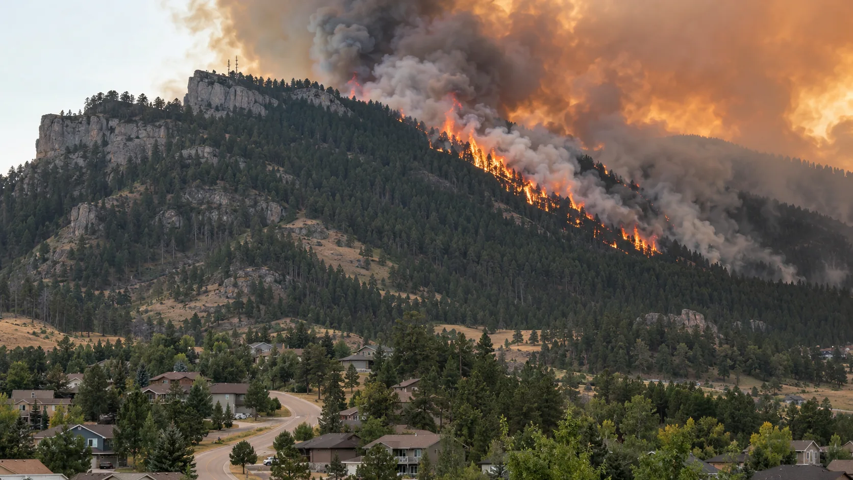
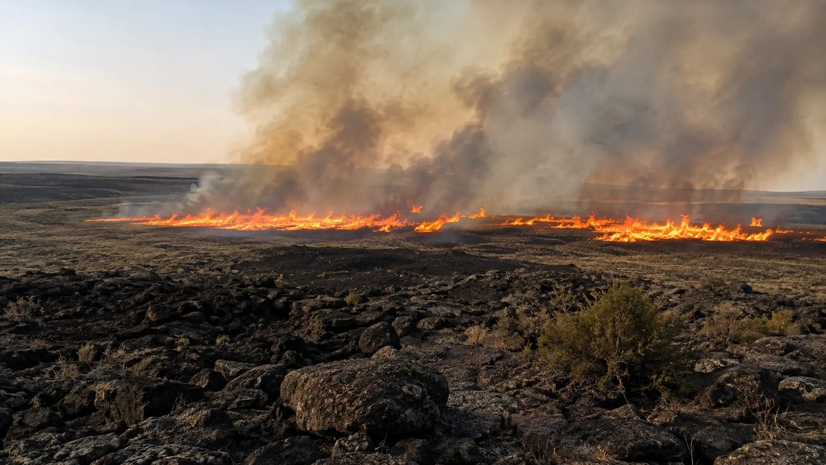
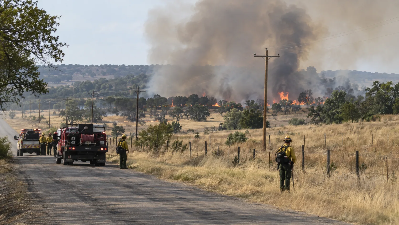
The fire is burning in mixed timber fuels along the Clackamas River drainage in some of the most rugged, difficult-to-access terrain in the Mount Hood National Forest, with fire behavior described as moderate uphill runs, backing, and single-tree torching. Crews have been building containment lines using existing roads as indirect firelines: burning operations along Forest Road 46 on the west side, work to tie lines to Forest Road 4640 to the north, and heavy equipment strengthening Forest Road 6310 on the southwest side to keep the fire from spreading toward the Collawash River. On the east side, crews are working to bring the fire to an established dozer line. Spot fires that crossed Cabin Creek on the fire's southeast corner were addressed with helicopters, heavy equipment, and hand crews. On the fire's north side, crews earlier defended the Oak Grove communication site, including a 911 tower, keeping it operational throughout the incident.
Evacuations and Closures
Level 3 "GO NOW" evacuation orders have been in effect for parts of Clackamas County since shortly after the fire broke out, with the zone extending up Forest Road 63 toward Ripplebrook. Bagby Hot Springs, a popular backcountry destination southwest of Ripplebrook, issued its own precautionary closure even though it fell outside the mandatory evacuation zone, citing the difficulty of keeping access roads clear for fire crews. The Mount Hood National Forest has since expanded its emergency closure order to cover a wider area, closing Highway 224 east of Fish Creek along with Forest Roads 46, 57, 63, and 70, and popular recreation sites including Lake Harriet, Timothy Lake, Bagby Hot Springs, and campgrounds along the Clackamas River east of Carter Bridge. A Temporary Flight Restriction is in place over the fire area — unauthorized private drones have at least once forced aerial firefighting operations to be suspended entirely until the airspace could be cleared.
Smoke Reaching Far Beyond the Fire Itself
Smoke from the Austin Fire has repeatedly spilled over the Cascades and into the Willamette Valley, at times catching air quality officials off guard. The Lane Regional Air Protection Agency reported a sudden surge of smoke reaching Lane County, more than 100 miles from the fire itself, pushing air quality there to unhealthy levels. Closer to the fire, Estacada and surrounding communities have seen repeated smoke impacts throughout the fire's three-week duration, though officials say some days bring relief depending on wind direction.
Not the Only Fire Burning Near Estacada
The Austin Fire is one of several fires crews have managed simultaneously in the Clackamas River Ranger District this season. The nearby Narrows Fire, much closer to Estacada itself, has slowly crept and smoldered through dead and downed trees left behind by the 2020 Riverside Fire, growing to about 284 acres and also sitting at 0% containment; its location within old burn scar terrain makes ground access especially difficult, so most of the firefighting effort there has relied on aircraft. A third, smaller fire in the district, the Mitchell Fire, was slowed dramatically by crews earlier in the response and has not been a significant factor since.
Frequently Asked Questions
Why is the Austin Fire still at 0% containment after three weeks?
The fire is burning in extremely remote, rugged terrain in the Mount Hood National Forest that is very difficult for ground crews to access. Crews have been building indirect containment lines along existing forest roads, but the terrain has prevented them from fully encircling the fire, which is why the official containment percentage has remained at zero throughout the incident. A cold front and expected rain midweek could help crews finally gain ground.
What caused the Austin Fire?
The fire is human-caused, but the exact circumstances remain under investigation.
Are evacuations still in effect near Estacada?
Level 3 "GO NOW" evacuation orders remain in effect for parts of Clackamas County near the fire, though the city of Estacada itself has not been under a mandatory evacuation order during this incident. Check Clackamas County's alert system for the current status in specific areas.
Is the Narrows Fire related to the Austin Fire?
They are separate fires burning in the same general area. The Narrows Fire is much smaller and is burning closer to Estacada within the scar of the 2020 Riverside Fire.
Where to Get Live Updates
- U.S. Forest Service — Mount Hood National Forest — official incident updates and closures.
- Clackamas County Emergency Management — evacuation levels; sign up for alerts at clackamas.us/clackcoalerts.
- Perimeter Map (perimetermap.com) — near-real-time fire perimeter and evacuation zone mapping.
- AirNow.gov — current smoke and air quality impacts across Oregon.
- Local broadcasters — KOIN, KPTV, KATU, and the Estacada News have provided ongoing coverage.
This article will be updated as containment progress is made or evacuation levels change. Verify any update against official Clackamas County channels before making safety decisions.


Comments 0
No comments yet. Be the first to share your thoughts!
Leave a Comment