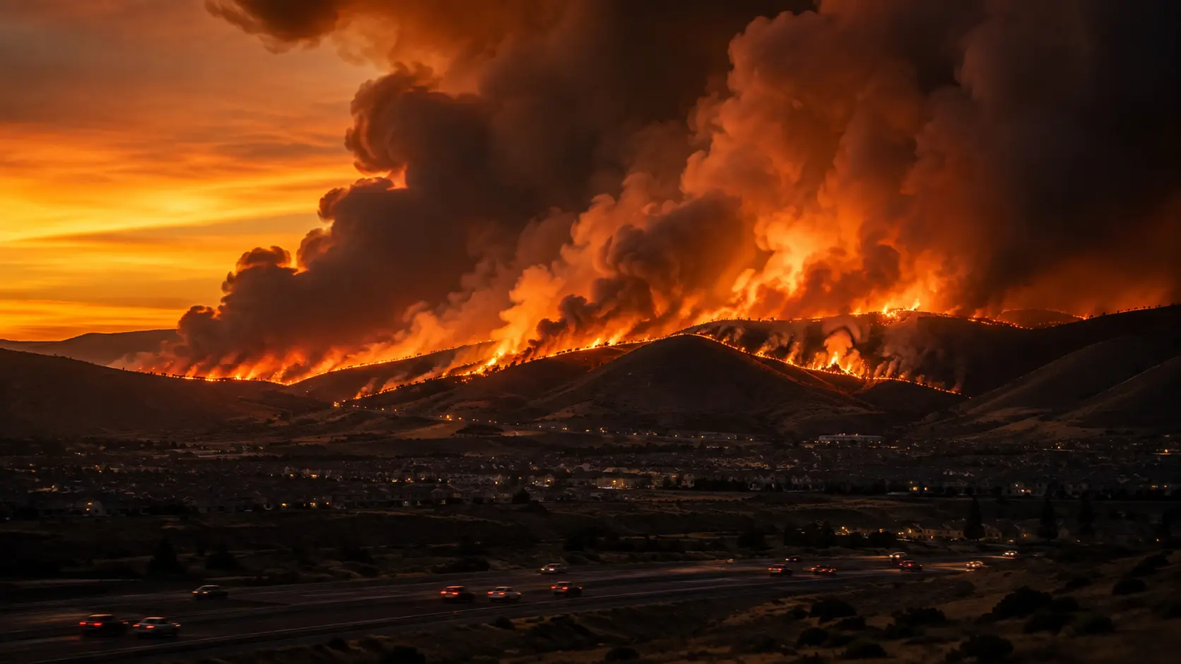

85% contained. The Hawk Fire ignited near Verdi, Washoe County, Nevada, around 11:25 a.m. on Saturday, August 22, 2026, and has burned 15,085 acres, according to the Truckee Meadows Fire Protection District, up from an initial 2,500 acres when it ignited off Hawk Meadow Trail near Somersett, northwest of Reno. Officials confirmed the fire was human-caused, though the exact cause will likely remain undetermined. Nevada Gov. Joe Lombardo declared a state of emergency for Washoe County. Containment jumped from 27% to 85% by Tuesday evening, then climbed further to 93% as of Thursday, August 27, as crews continued extinguishing hot spots and kept the fire south of U.S. 395. As residents began returning to neighborhoods east of U.S. 395 and crews accessed previously unreachable areas, officials raised the confirmed damage total to 47 residential homes and one commercial building destroyed, up from an earlier count of 32, with eight additional structures seriously damaged. Only about 5,000 people remained in evacuation zones, down from a combined 90,000 at the peak two days earlier. At least four civilians and three firefighters suffered minor injuries. Officials cautioned that forecasted winds and gusts over the coming days could still challenge containment lines in unburned areas. At least six people, three civilians and three first responders, have been injured, and at least two medical centers evacuated patients as a precaution. The University of Nevada, Reno campus itself remains outside the evacuation zone and will hold normal classes Monday, August 24. This article will be updated as containment figures change — for real-time conditions, check the live sources listed at the end of this article before making evacuation decisions. Last fact-checked: August 26, 2026, 9:30 AM PDT.
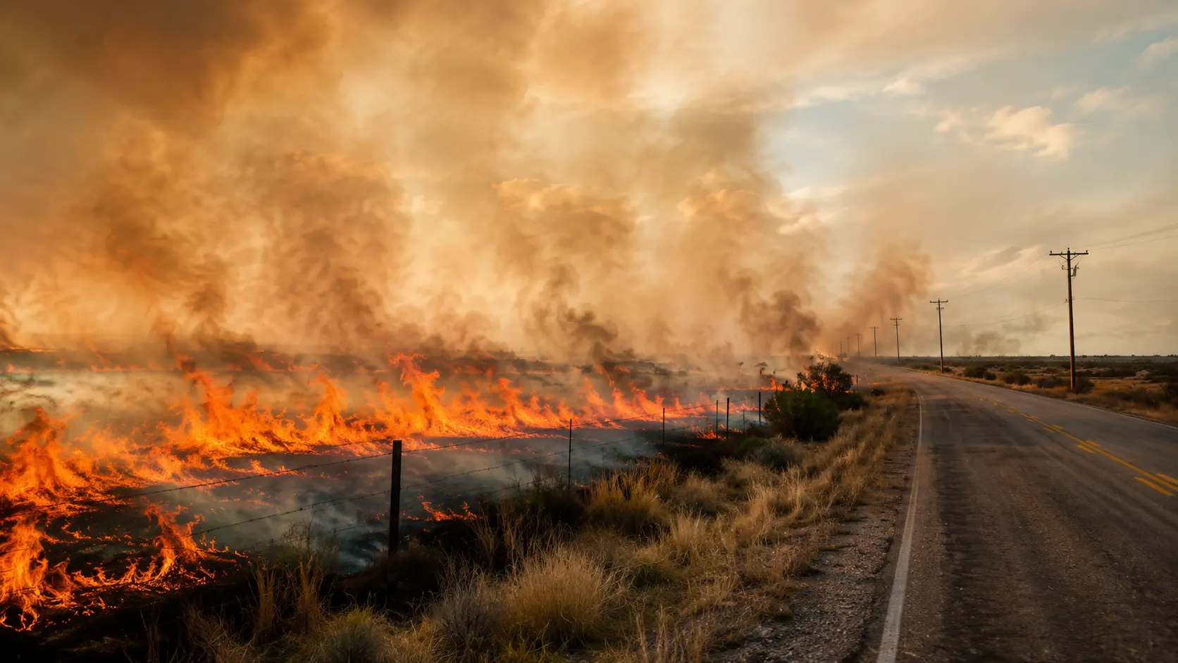
A fast-moving brush fire that started on a hillside northwest of Reno exploded in size overnight, driven by strong winds, low humidity, and dry vegetation. By Sunday afternoon it had forced the largest evacuation the region has seen in years, closed a long stretch of U.S. 395, cut power to roughly 10,000 NV Energy customers, and prompted the deployment of Nevada National Guard helicopters to support the aerial firefighting effort.
In this article:
Why the Hawk Fire Grew So Fast
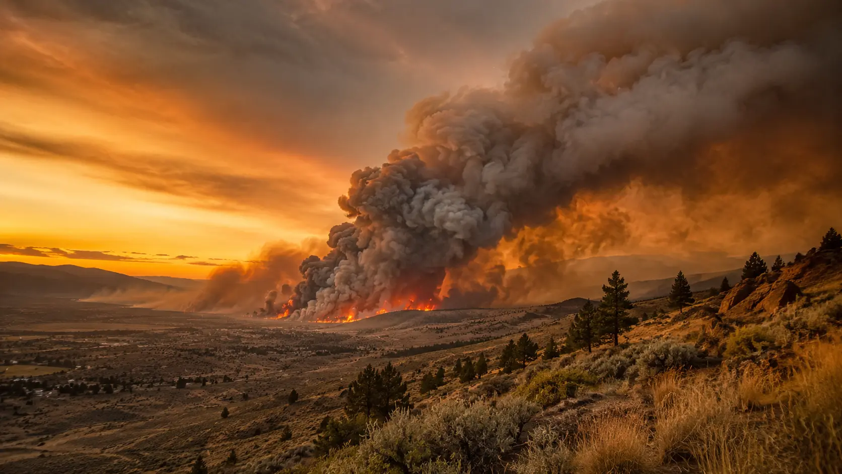
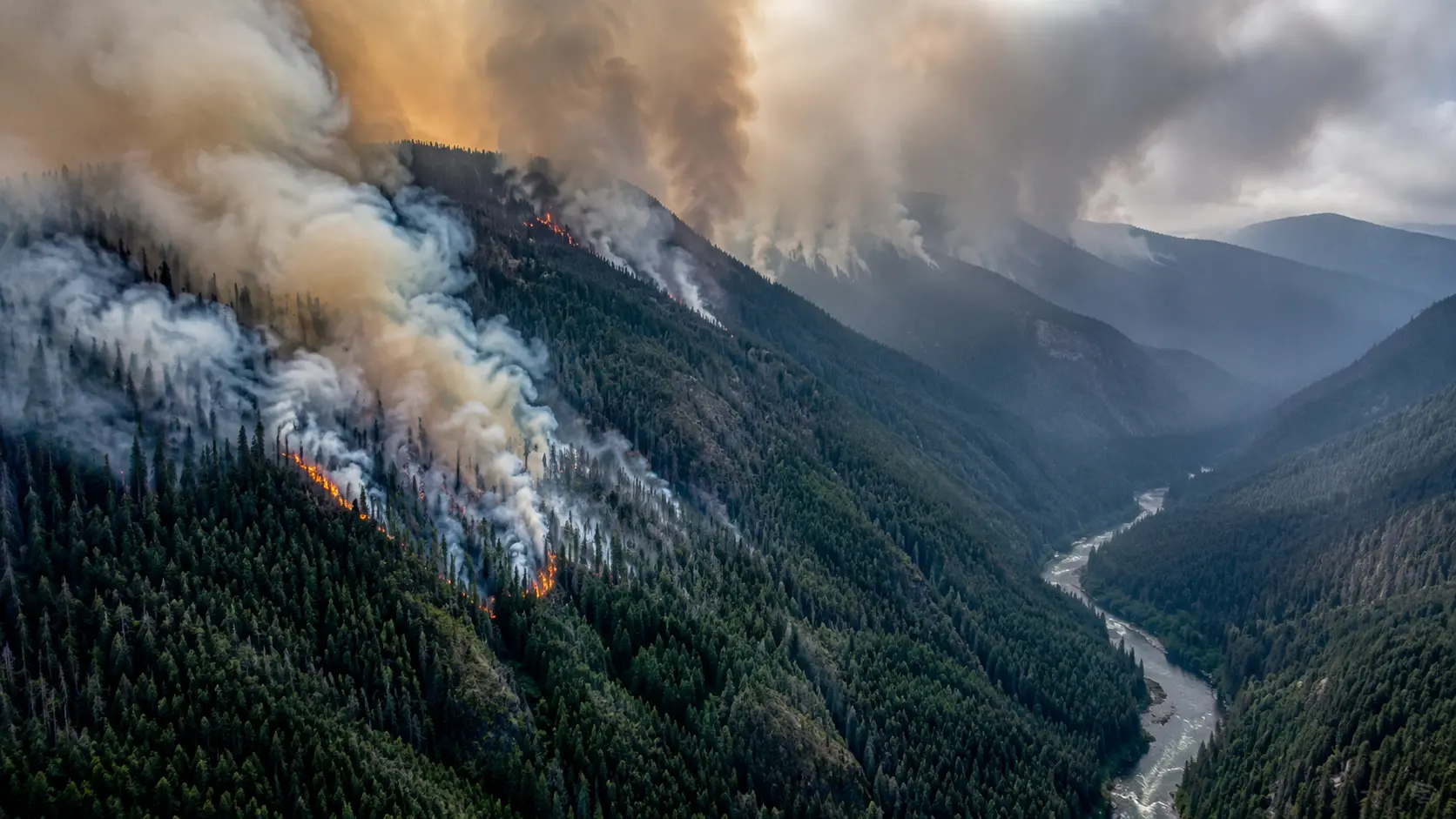
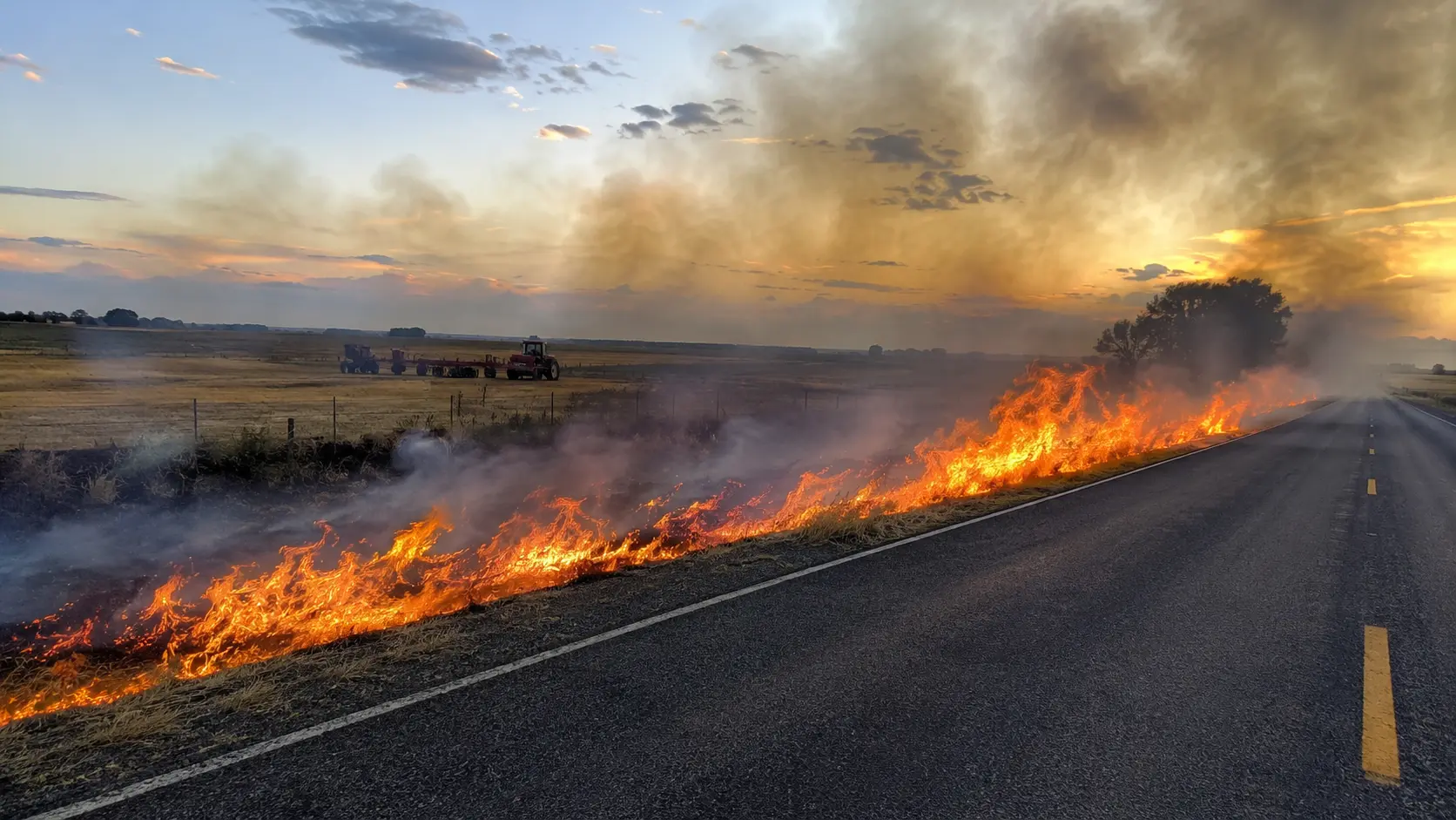
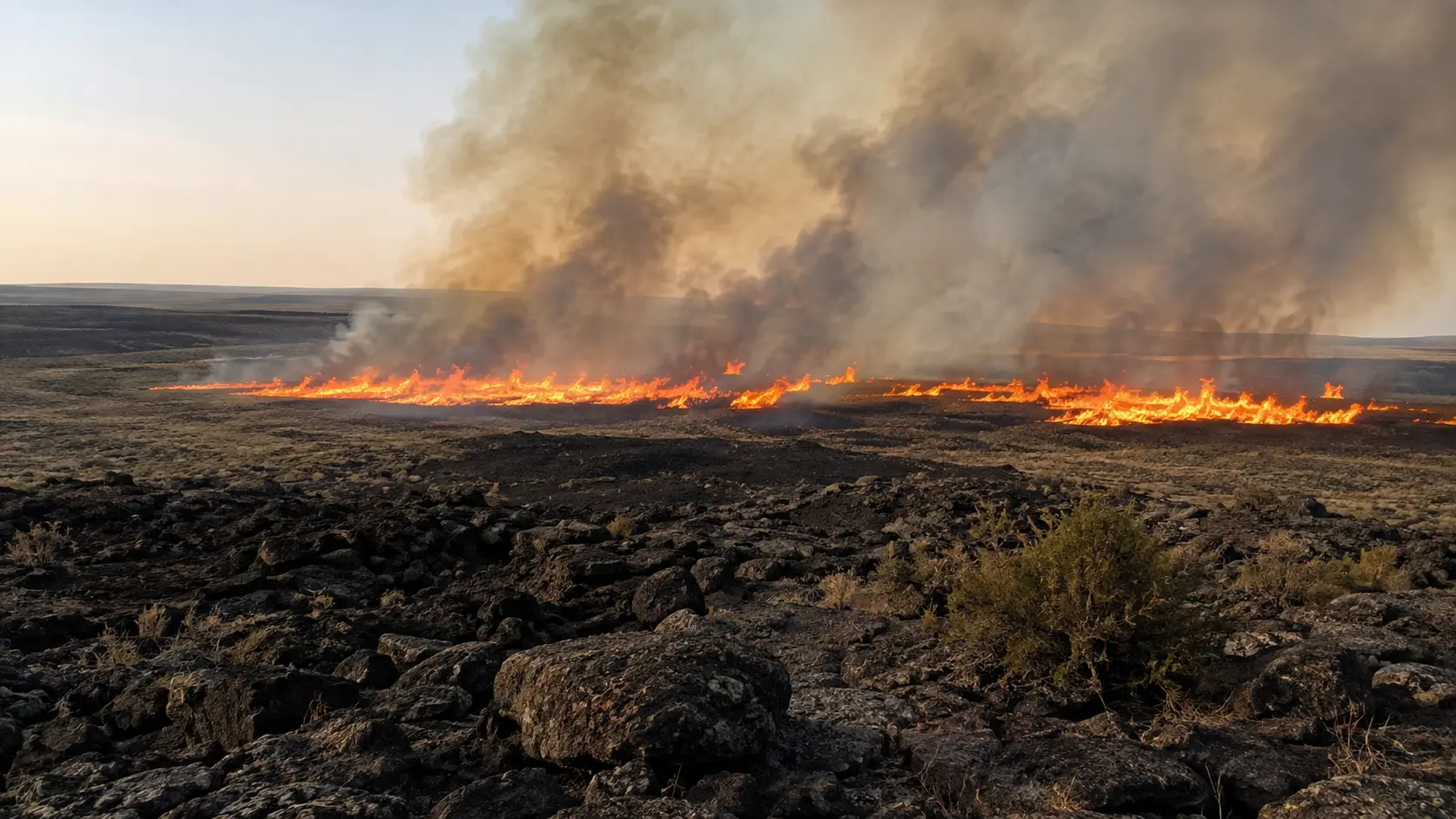
According to Washoe County officials and the Truckee Meadows Fire Protection District, the fire's explosive growth was driven by a combination of strong, gusty winds, low relative humidity, and heavy dry fuel loading in the Peavine Peak area of the Humboldt–Toiyabe National Forest, northwest of Reno. The fire is the third large wildfire to break out in the rugged terrain north of Reno in the past two weeks — all three human-caused, according to fire officials. Crews eventually stopped the Hawk Fire's advance toward Somersett by working dozer lines south and east of the fire to build a fuel break between the flames and residential areas. Winds eased overnight into Monday, and fire officials said crews were able to hold established containment lines and reposition resources after fire behavior turned less extreme than expected in some areas. But officials warned that hot, dry, and breezy conditions were forecast to continue supporting active fire behavior through Wednesday, and that high winds returning later in the week could make the situation more dire again.
Evacuations and Road Closures
Evacuation orders expanded through the weekend, with the "GO NOW" zone at one point reaching the edge of the University of Nevada, Reno campus — though the campus itself remained outside the evacuation zone throughout and held normal classes Monday, August 24. By Monday afternoon, evacuation orders had begun easing as containment improved: roughly 23,000 residents remained under a mandatory evacuation order and another 43,000 under a "Get Set" warning, down from a combined 90,000 the day before. The Somersett neighborhood, previously under a "GO NOW" order, was downgraded to "Get Set to Evacuate" after crews stopped the fire's advance toward it. A damage assessment confirmed 32 homes destroyed, concentrated in the Blackfoot Way and Seneca Drive area near the base of Peavine Peak; officials said the number could still rise as inspections continue in hard-hit areas. U.S. 395 reopened in both directions Monday as evacuations were lifted along the corridor, after being closed over the weekend between Parr Boulevard and Red Rock Road; North Virginia Street remained closed between Red Rock Road and White Lake Parkway, and Reno-Stead Airport has since reopened to general aviation traffic, though firefighting aircraft operations continue from the field. NV Energy said the fire had damaged about 100 power poles; crews restored power to roughly 3,000 customers through Monday, leaving about 7,000 still without power in the North Valleys area, down from a peak of about 60,000 customers affected at the height of the fire. The Washoe County School District, Coral Academy, and Truckee Meadows Community College all canceled classes Monday, August 24 — Gerlach K-12 was the only Washoe County school to remain open. The Boys & Girls Club of Truckee Meadows opened four Reno-area clubhouses from 7 a.m. to 6 p.m. for displaced families who needed supervised childcare while schools were closed. Most Washoe County schools were set to reopen Wednesday, August 26, though 13 schools remained closed due to continued fire impacts in their immediate areas.
| Notice Level | What It Means | What to Do |
|---|---|---|
| Evacuation Warning | Danger is possible but not imminent in your area. | Prepare a go-bag, plan your route, and stay ready to leave. |
| Evacuation Order | Danger is imminent to your area; conditions are unsafe. | Leave immediately by the designated route. |
| "GO NOW" | The fire or a related hazard has reached, or is about to reach, your area. | Leave now — do not wait to gather belongings. |
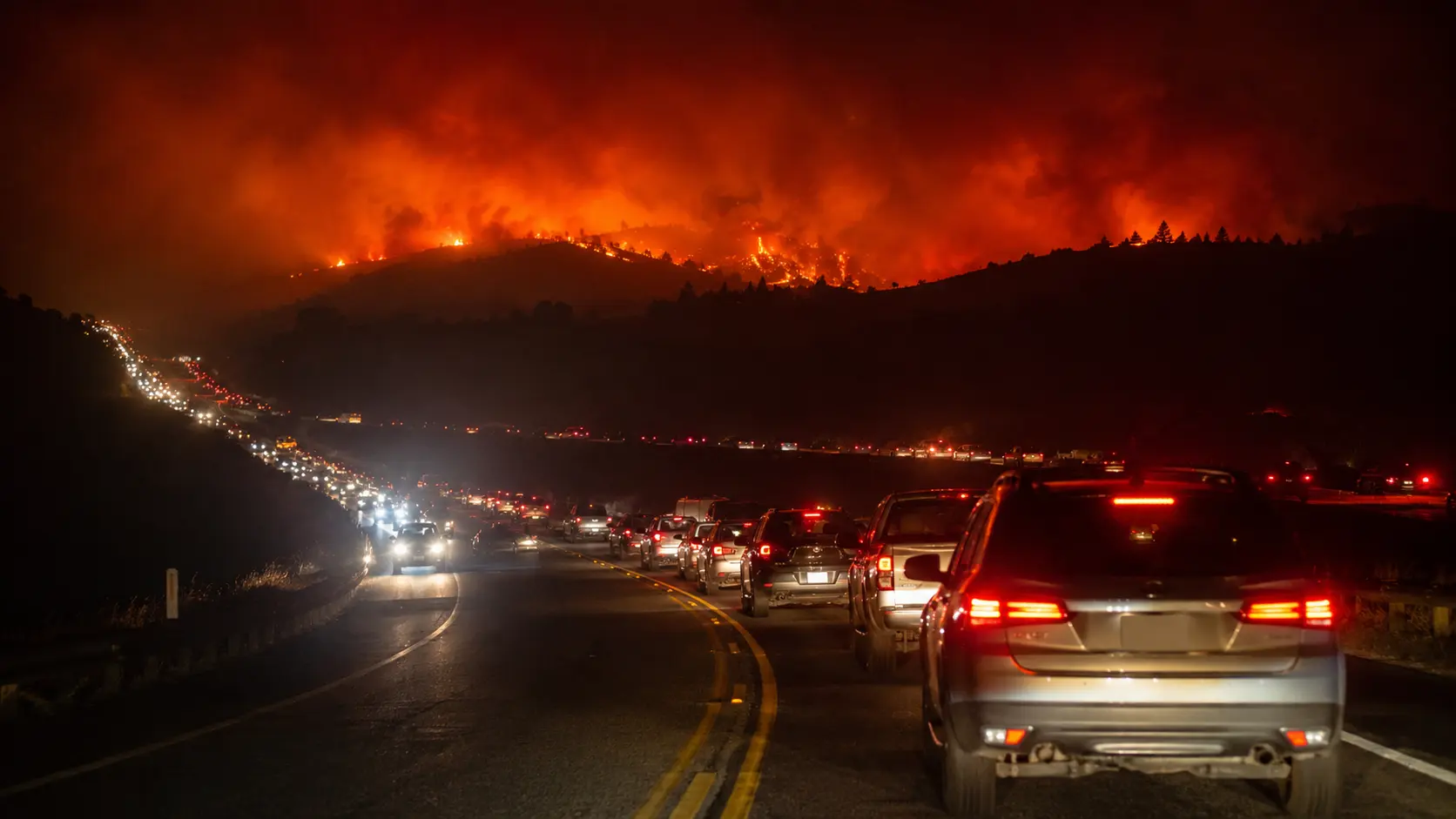
The Reno-Sparks Convention Center (Hall 4) was opened by the American Red Cross as an evacuation shelter after the Evelyn Mount Northeast Community Center reached capacity. Residents with animals were directed to separate large- and small-animal shelter sites, per Washoe County's public updates.
Who's Responding
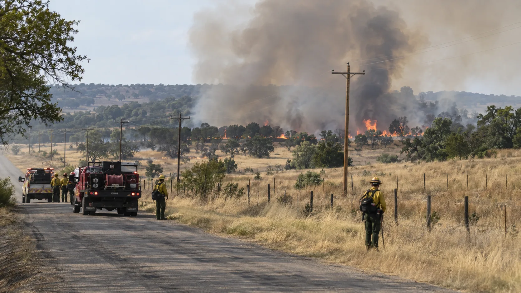
Personnel counts climbed through the weekend to a peak of roughly 900 firefighters and other first responders, before officials scaled the workforce back to about 586 personnel — including 11 crews, 42 engines, nine helicopters, and nine dozers — as containment improved through the week. Nevada Gov. Joe Lombardo mobilized the Nevada National Guard to support the response, including a CH-47 Chinook and a UH-60 Black Hawk aircrew for aerial firefighting, plus roughly 60 Guard personnel assisting local police with evacuated-neighborhood security. Officials revised the injury count Monday to at least four civilians and three firefighting personnel, who suffered minor burns during the initial attack on the fire; no further details on the civilian injuries were released. Two hospitals evacuated patients as a precaution against smoke and fire risk, including the emergency room at North Valleys, an extension of Northern Nevada Medical Center, which temporarily closed under a mandated evacuation. A damage assessment in hard-hit areas confirmed 47 residential homes and one commercial building destroyed as of Tuesday evening, according to the Truckee Meadows Fire Protection District, up from an earlier count of 32 as crews and residents gained access to previously unreachable neighborhoods east of U.S. 395. Eight additional structures were seriously damaged. Officials cautioned the count could still change as inspections continue.
A Firefighter's Read on the Wind-Humidity-Fuel Triangle
"An 8,000-acre jump in a single day almost always traces back to the same three factors lining up at once: sustained wind pushing embers well ahead of the main front, humidity low enough that spot fires catch instantly, and enough dry, continuous fuel to carry them. Once all three are present in wildland-urban interface terrain like the hills above Reno, containment lines drawn overnight can be outrun before crews finish building them the next morning." — Koray Korkut, Hazmat & Command Editor
For residents near any active wildfire perimeter, the practical takeaway is that official containment percentages can lag real fire behavior by hours, especially overnight when wind patterns shift. Evacuation orders are issued based on projected fire spread, not just current perimeter position — which is why crews urge early evacuation rather than waiting to see flames.
Frequently Asked Questions
Is the Hawk Fire contained?
As of Thursday, August 27, 2026, the Hawk Fire was 93% contained, up from 85% on Tuesday and 27% the day before that. The fire was mapped at 15,085 acres, with crews focused on keeping it south of U.S. 395. Check the live sources below for the current figure.
Where did the Hawk Fire start?
The fire started off Hawk Meadow Trail, about one mile north of Cold Creek Trail in the Somersett area, northwest of Reno — the location that gave the fire its name.
What caused the Hawk Fire?
Officials confirmed the fire was human-caused, based on the absence of any natural ignition source in the area, but said the exact cause will likely remain undetermined. The Hawk Fire is the third large, human-caused wildfire to break out in the hills north of Reno in the past two weeks.
How many homes were destroyed in the Hawk Fire?
A damage assessment confirmed 47 residential homes and one commercial building destroyed as of Tuesday evening, up from an earlier count of 32 as crews accessed more of the burn area, with eight additional structures seriously damaged. Officials said the count could still change as inspections continue.
How many people have been evacuated?
As of Tuesday evening, only about 5,000 people remained in evacuation zones, down from a combined 90,000 at the peak two days earlier, as containment reached 85% and officials downgraded most remaining orders. These numbers may change as the fire perimeter shifts.
Is Somersett safe now?
Crews stopped the fire from reaching the Somersett neighborhood, and its evacuation status was downgraded Monday from "GO NOW" to "Get Set to Evacuate." Residents should continue monitoring official channels, as conditions remain dynamic.
Is U.S. 395 open?
U.S. 395 reopened in both directions Monday as evacuations were lifted along the corridor, after being closed over the weekend between Parr Boulevard and Red Rock Road. North Virginia Street remained closed between Red Rock Road and White Lake Parkway as of Monday.
How many firefighters are working the Hawk Fire?
Personnel peaked at roughly 900 firefighters and other first responders before being scaled back to about 586 as containment improved, working from the ground and air with support from Nevada National Guard helicopters.
Is the University of Nevada, Reno affected?
The UNR campus itself was never within an evacuation zone and held normal classes and operations at its main, Redfield, and Lake Tahoe campuses on Monday, August 24, while continuing to monitor fire and smoke conditions.
Where to Get Live Updates
- Washoe County Emergency Management (emergencywashoe.com) — official evacuation zones and shelter information.
- Perimeter Map (perimetermap.com) — near-real-time fire perimeter and evacuation zone mapping used by Washoe County officials.
- National Interagency Fire Center (NIFC) — acreage and containment updates.
- Local broadcasters — KOLO 8, News 4-Fox 11, and 2 News Nevada provided rolling, on-the-ground coverage throughout the incident.
- AirNow.gov — for current smoke and air quality impacts in the Reno-Sparks area.
This article will be updated as containment increases and evacuation orders are downgraded. If you have a confirmed update from an official source, verify it against Washoe County's own evacuation map before acting on it.



Comments 0
No comments yet. Be the first to share your thoughts!
Leave a Comment