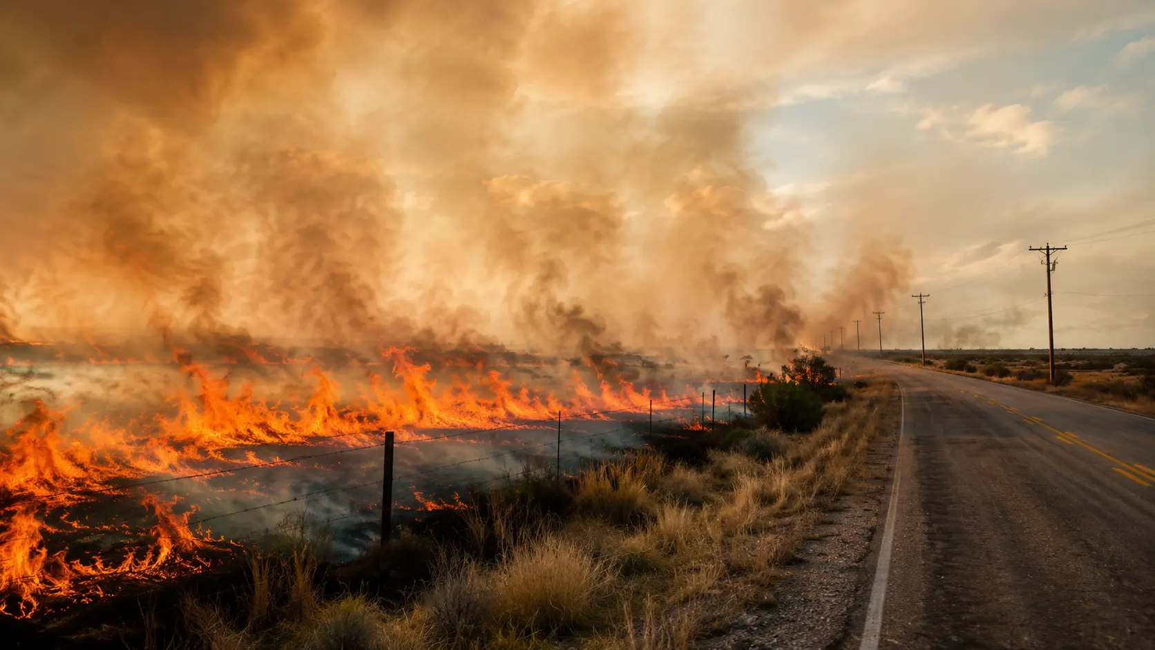

31% contained. The Ross Fire ignited near U.S. Highway 180 and R.D. Bell Road in central Palo Pinto County, Texas, around 1:28 p.m. on Monday, August 24, 2026, and has burned an estimated 85,303 acres as of Saturday, according to the Texas A&M Forest Service — making it the second-largest wildfire ever recorded in North Texas. The cause has not been determined. Mandatory evacuation orders in both Palo Pinto and Jack counties have expired; local officials continue to maintain voluntary advisories as firefighters keep working flare-ups and shifting winds across a fire perimeter stretching roughly 30 miles end to end. Crews credited prepositioned engines with saving the town of Bryson as the fire approached earlier in the week. Highway 180 remains closed near the fire. Four to five structures have been destroyed, and the Longhorn Council's Worth Ranch Scout camp suffered catastrophic damage to multiple buildings, though no scouts, campers, or staff were on site and the camp ranger evacuated safely. At Lake Godstone, a nature and camping retreat in the burn area, volunteer firefighters used lake water to save most of the property's structures even as nearly all of its vegetation burned. No deaths or injuries have been reported. Friday was expected to be North Texas's first day in weeks without an extreme heat warning or advisory, a welcome break for the roughly 444 personnel working the fire under a Type 3 Incident Command. This article will be updated as containment figures change.
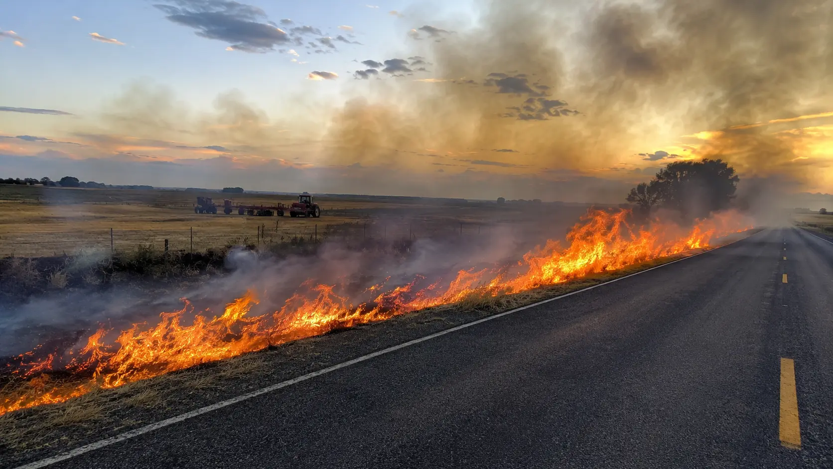
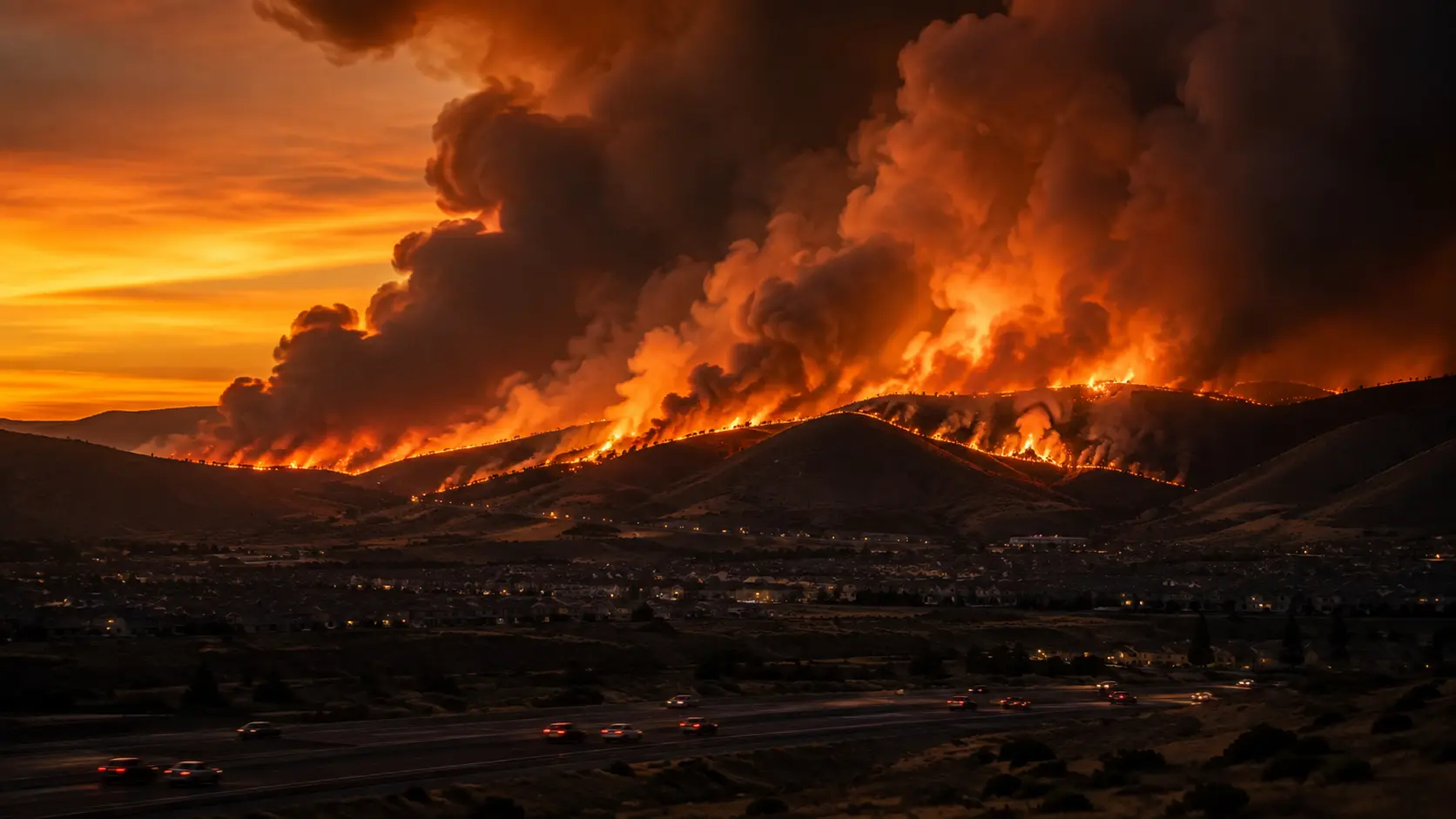
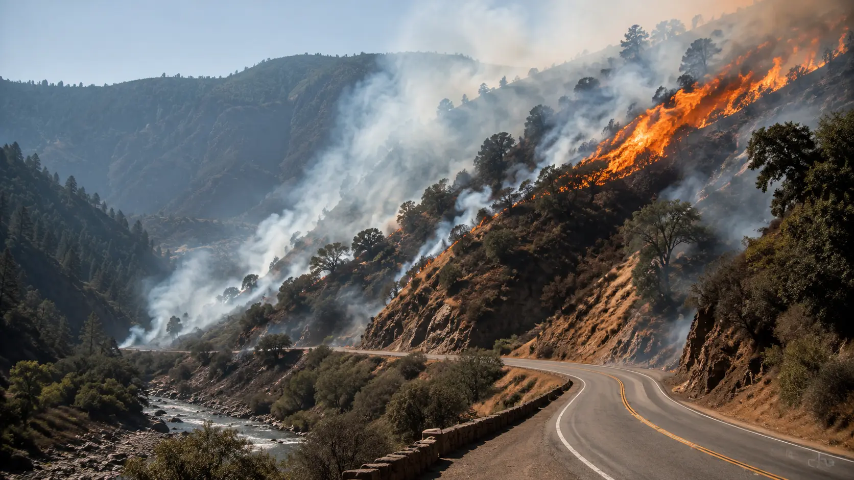
A grass fire that started small along Highway 180 has grown into one of the largest wildfires ever recorded in North Texas, burning more than 85,000 acres across Palo Pinto and Jack counties in under a week. Aerial tankers and a Texas Intrastate Fire Mutual Aid System (TIFMAS) strike team joined local crews as the fire damaged structures, closed highways, and forced evacuations that have since been lifted as containment steadily improved.
Why the Ross Fire Grew So Fast
The National Weather Service said the region had gone more than a month without measurable rainfall, leaving grass and brush critically to extremely dry. Sustained south/southwest winds of 10–15 mph, with gusts up to 25 mph, combined with relative humidity as low as 18% to create conditions primed for rapid fire spread across Palo Pinto County and the broader North Texas area west of I-35. Forecasters warned the elevated fire threat would persist into Tuesday.
A fifth alarm was called within about an hour of the fire's start, bringing in a TIFMAS strike team along with Texas A&M Forest Service dozers and air support. A Temporary Flight Restriction was put in place over the fire area to keep the airspace clear for firefighting aircraft. North Texas hit a record 109°F on Monday, and Texas A&M Forest Service said crews were having to rotate in and out of the fire line more frequently than usual because of the extreme heat, limiting how long any one crew could safely work before needing rest.
Evacuations and Road Closures
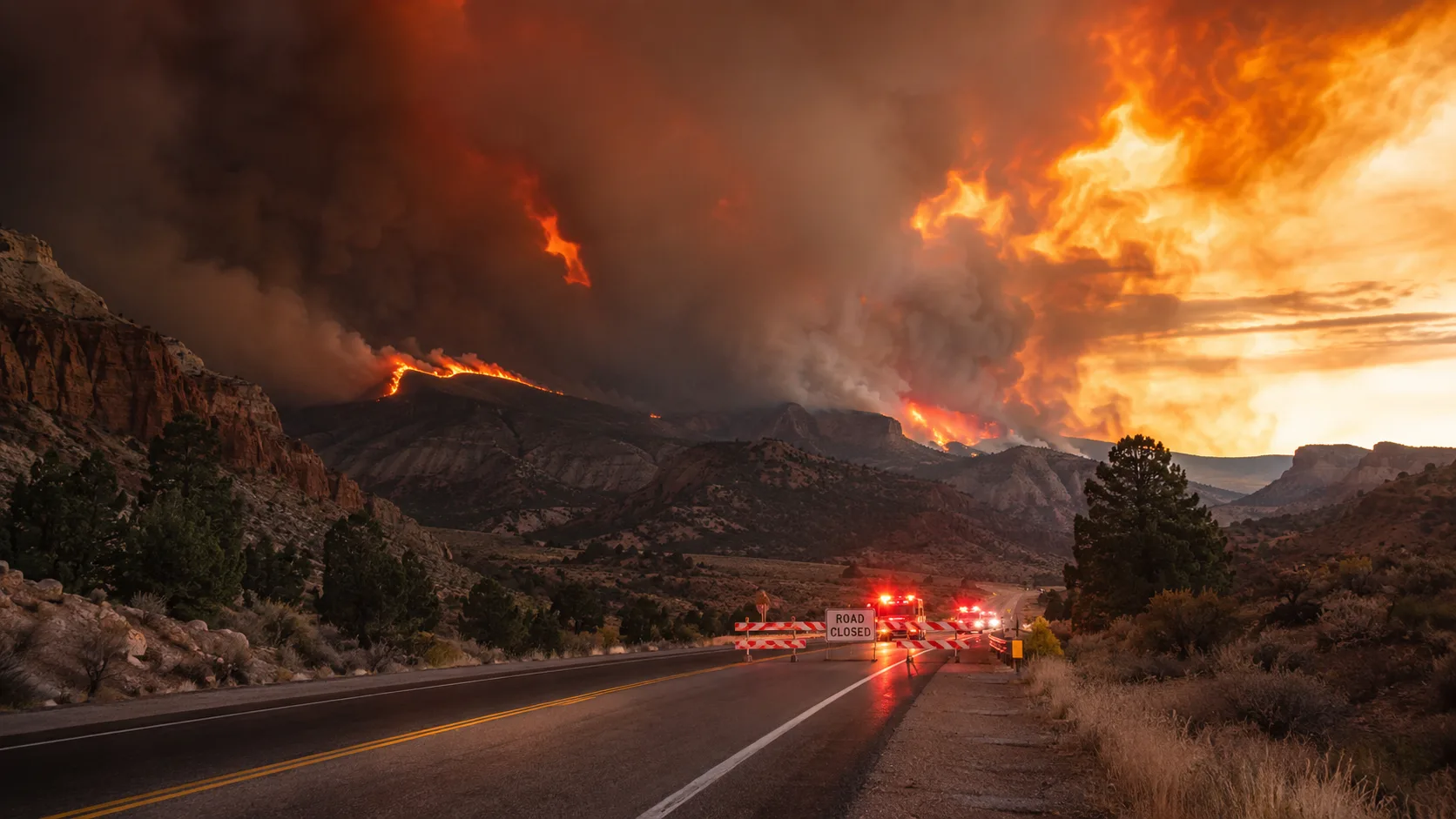
Mandatory evacuation orders that had been in effect in southern Jack County, near and east of Barton's Chapel, and in parts of Palo Pinto County expired as conditions improved through the week. Local officials in both counties continue to maintain voluntary evacuation advisories, urging residents in affected areas to remain alert given the fire's size and unpredictable behavior. An evacuation center remains available at the Twin Lakes Activity Center on State Highway 59 in Jacksboro for anyone who still wants to leave. No injuries have been reported throughout the incident. Highway 180 remains closed near the fire, and drivers are asked to avoid the area entirely as crews and aircraft continue operations. Area schools saw a rolling series of delays and closures through the week — including Jacksboro ISD, Perrin CISD, Bryson ISD, and Graford ISD — as the fire's proximity and smoke conditions shifted day to day. The Graham Livestock Commission opened its holding station at the Old Mineral Wells Sale Barn, 2805 North Oak Avenue, for residents needing a place to keep livestock while the fire is active. Anyone needing help evacuating in Palo Pinto County can call 940-659-2085.
A Firefighter's Take on the Conditions
"Going from 25 acres to 4,000 in a single afternoon isn't unusual once you have a month of no rain, single-digit-to-teens humidity, and sustained wind together — that combination turns dry grass into a fuel bed that carries fire almost as fast as it can spread by wind alone. A Temporary Flight Restriction and a fifth-alarm response this early tell you incident command already expected this kind of run." — Koray Korkut, Hazmat & Command Editor
Frequently Asked Questions
Is the Ross Fire contained?
As of Saturday, August 29, 2026, the Ross Fire was 31% contained after burning an estimated 85,303 acres across Palo Pinto and Jack counties, making it the second-largest wildfire ever recorded in North Texas. Check the live sources below for the current figure.
What caused the Ross Fire?
The cause has not been determined and remains under investigation.
Is Highway 180 closed?
Yes. Highway 180 is closed to all traffic between S FM 4 and FM 919 while crews work the fire.
Have evacuations been ordered for the Ross Fire?
Mandatory evacuation orders in both Palo Pinto and Jack counties have expired as conditions improved. Local officials continue to maintain voluntary advisories in affected areas. No injuries have been reported throughout the incident.
Where to Get Live Updates
- Texas A&M Forest Service — official incident size, containment, and resource updates.
- Palo Pinto County Emergency Service District 1 — local alerts and evacuation guidance; contact 940-659-2085 for evacuation assistance.
- National Interagency Fire Center (NIFC) — acreage and containment updates.
- Local broadcasters — CBS Texas, NBC 5 Dallas-Fort Worth, and FOX 4 Dallas-Fort Worth provided on-the-ground coverage.
- AirNow.gov — for current smoke and air quality impacts in the Dallas-Fort Worth area.
This article will be updated as containment increases or evacuation guidance changes. Verify any update against official Palo Pinto County channels before making safety decisions.



Comments 0
No comments yet. Be the first to share your thoughts!
Leave a Comment