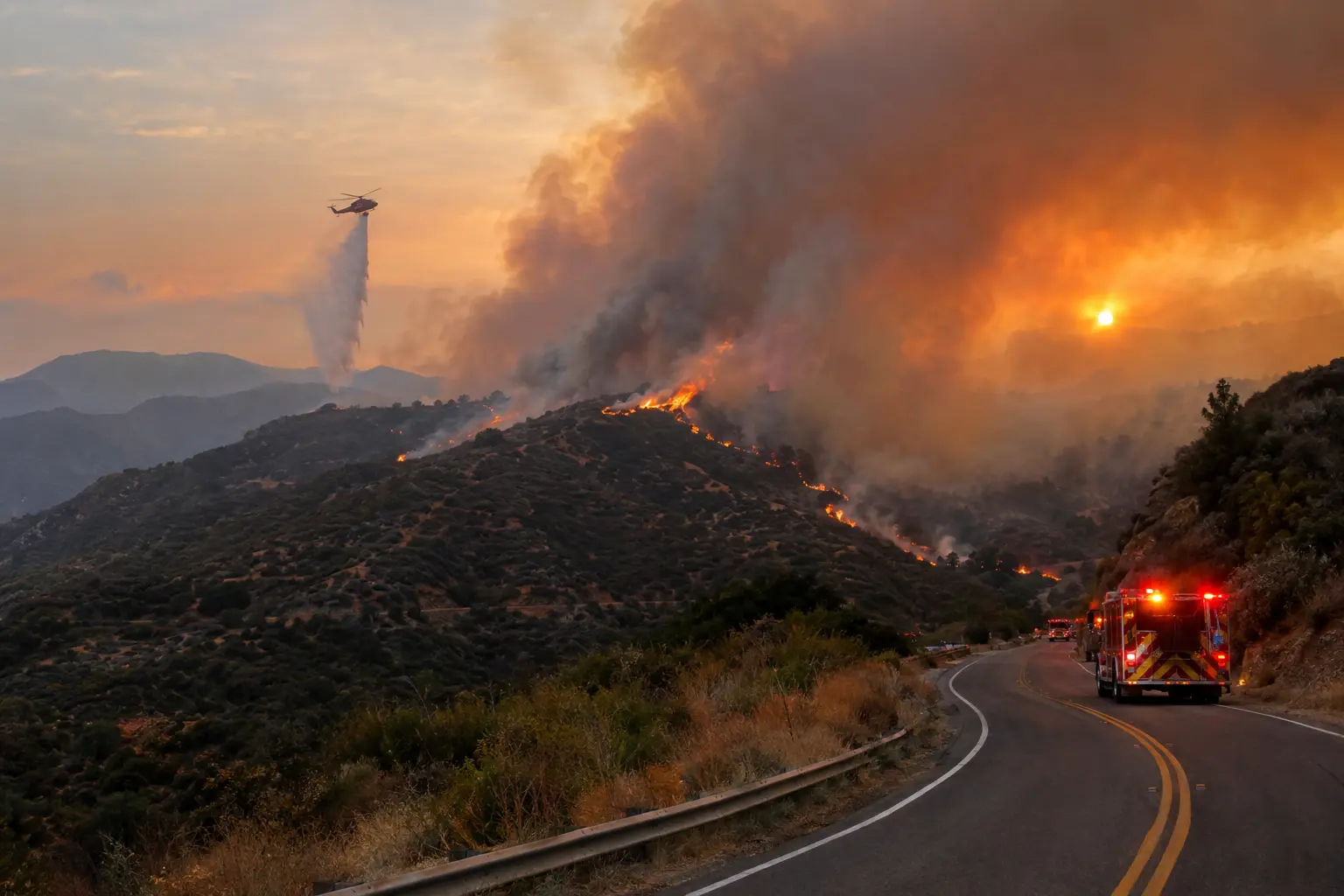

Latest: Sunday, October 4. The Bouquet Fire, burning in the Angeles National Forest northeast of Santa Clarita, is holding at 1,048 acres and 40% containment as of Sunday morning. First responders reported a knockdown of the fire around 2:22 a.m., and crews spent the overnight hours building and reinforcing control lines with help from water-dropping helicopters. Evacuation orders remain in effect for three zones — LAC-E018, LAC-E030-B, and LAC-E031-A — with evacuation warnings covering a much wider ring of surrounding neighborhoods. Bouquet Canyon Road is closed from Spunky Canyon Road to Vasquez Canyon Road. In an unusual development, fire personnel located what's being described as possible explosive ordnance — reports describe it as potentially dynamite or fireworks — at the fire's point of origin. It is not yet known whether the ordnance caused the fire to ignite, and the cause remains under investigation.
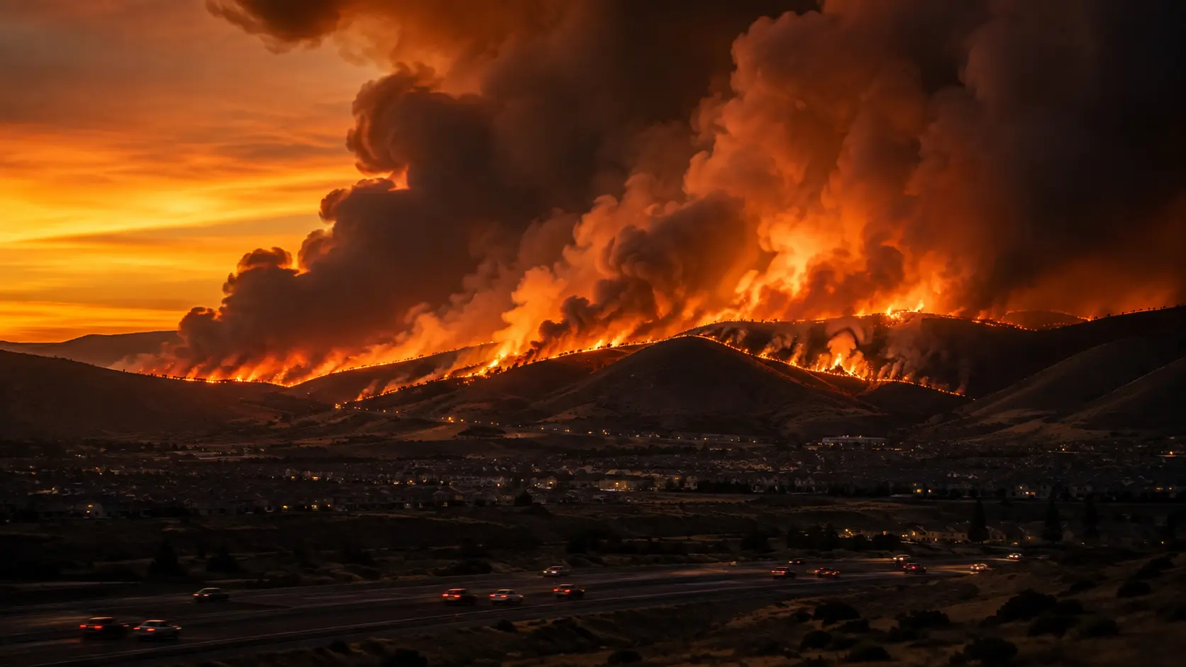
For a fire that was five acres and "close to knockdown" at 3:20 p.m. Saturday, the Bouquet Fire didn't stay small for long. Within three hours it had passed 1,000 acres, and by the time most of Santa Clarita Valley sat down to dinner Saturday night, it had triggered mandatory evacuation orders, closed one of the canyon's main roads, and put a regional air quality advisory in place that's still active Sunday.
In this article:
How the Fire Grew From 20 to 1,000+ Acres
| Time (Saturday–Sunday) | Size | Containment |
|---|---|---|
| 3:28 p.m. Sat | 20 acres | 0% |
| 4:55 p.m. Sat | 709 acres | 0% |
| 5:55 p.m. Sat | 843 acres | 0% |
| 10:22 p.m. Sat | 1,044 acres | 30% |
| Sunday morning | 1,048 acres | 40% |
The fire was first reported around 2:30 p.m. Saturday in the 34800 block of Bouquet Canyon Road, near Quarry Road on the northeast edge of Santa Clarita, burning light to medium brush inside the Angeles National Forest. The timing lined up with an extreme heat warning already in effect for the Santa Clarita Valley, with temperatures forecast to hit 105 degrees and hold through Tuesday night — exactly the kind of hot, dry setup that lets a small ignition turn into a four-figure-acreage fire before crews can get a line around it. An afternoon wind shift pushed the fire toward structures along Bouquet Canyon Road, prompting requests for dedicated structure protection and triggering the evacuation orders that followed. Los Angeles County Fire Department and Angeles National Forest crews called in two strike teams of wildland engines, four hand crews, additional air tankers, and night-flying helicopters to get ahead of the spread before fixed-wing aircraft were grounded for the night due to low visibility around 6 p.m.
Evacuation Zones, Road Closures, and Shelter
Evacuation orders and warnings expanded repeatedly through Saturday evening as the fire's footprint grew, and the zone map has shifted a few times since — as of Sunday morning, here's where things stand:
- ✓Evacuation Orders (immediate): Zones LAC-E018, LAC-E030-B, and LAC-E031-A.
- ✓Evacuation Warnings: Zones LAC-E016, LAC-E017, LAC-E019, LAC-E020, LAC-E021, LAC-E029, LAC-E030-A, LAC-E030-C, and LAC-E031-B.
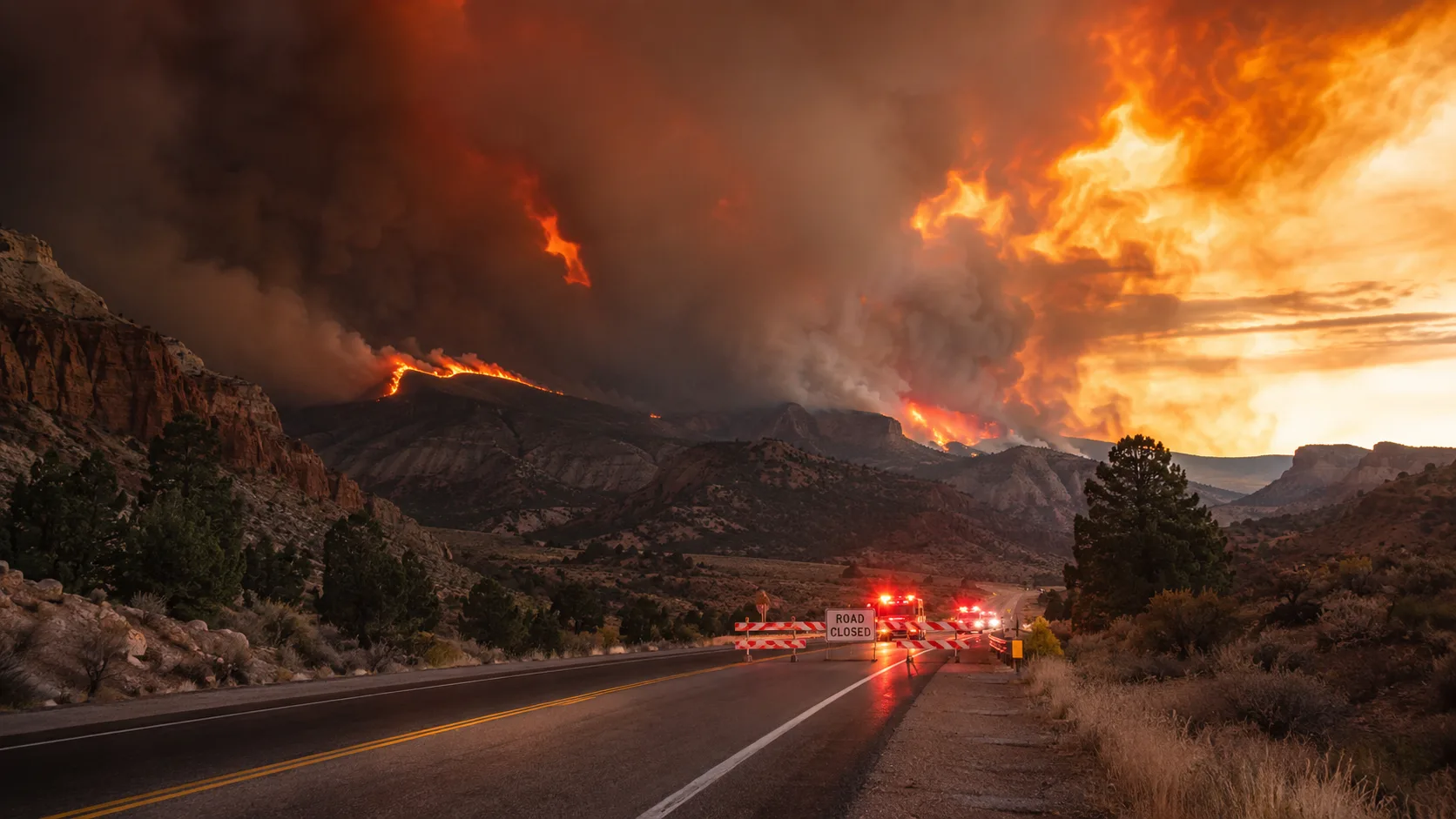
- ✓Road closure: Bouquet Canyon Road is closed from Spunky Canyon Road to Vasquez Canyon Road.
- ✓Evacuation center: Castaic Sports Complex, 31230 Castaic Road, Castaic.
- ✓Live zone map: the Watch Duty app and Cal Fire's incident page both carry real-time updates on this fire.
Los Angeles County Supervisor Kathryn Barger, whose district covers the burn area, said she was "actively monitoring developments" and remained in close contact with emergency response partners, adding that she deeply appreciated the firefighters and first responders working the incident in extremely hot and difficult conditions. Because the fire is burning largely in remote forest land rather than dense subdivisions, officials have noted that relatively few structures sit directly in its path compared to a fire this size burning closer to town — though that hasn't changed the evacuation posture for the zones still under order.
The Explosive Ordnance Found at the Origin Point
One detail has set this fire apart from a typical brush fire report: firefighters working the point of origin Saturday afternoon located what's being described as possible explosive ordnance, with early accounts suggesting it could be dynamite or fireworks. It's not yet confirmed whether that material had anything to do with how the fire started, and Cal Fire has not listed an official cause as of this writing. For firefighters and residents alike, finding ordnance at a fire's origin changes the on-scene posture in a practical way — it typically means bringing in a bomb squad or explosive ordnance disposal unit to render the area safe before investigators can fully process the origin site, which can slow down both the cause-and-origin investigation and any mop-up work planned for that specific section of the burn.
Why That Drone Sighting Mattered
Cal Fire's Air Attack reported a possible drone sighting over the fire area Saturday afternoon, a detail that's easy to skip past in a wildfire story but matters a lot operationally. Firefighting aircraft operate at low altitude and in tight coordination with each other, often in reduced visibility from smoke, and an unauthorized drone sharing that airspace creates a real mid-air collision risk. Fire agencies nationwide have had to ground air tankers and helicopters entirely in past incidents specifically because of drone intrusions, which can set suppression efforts back by hours at exactly the moment aircraft are most needed to slow a fast-moving fire. Flying a personal drone anywhere near an active wildfire, even just to get footage, is both illegal and genuinely dangerous to the flight crews overhead.
The Smoke Advisory and Air Quality
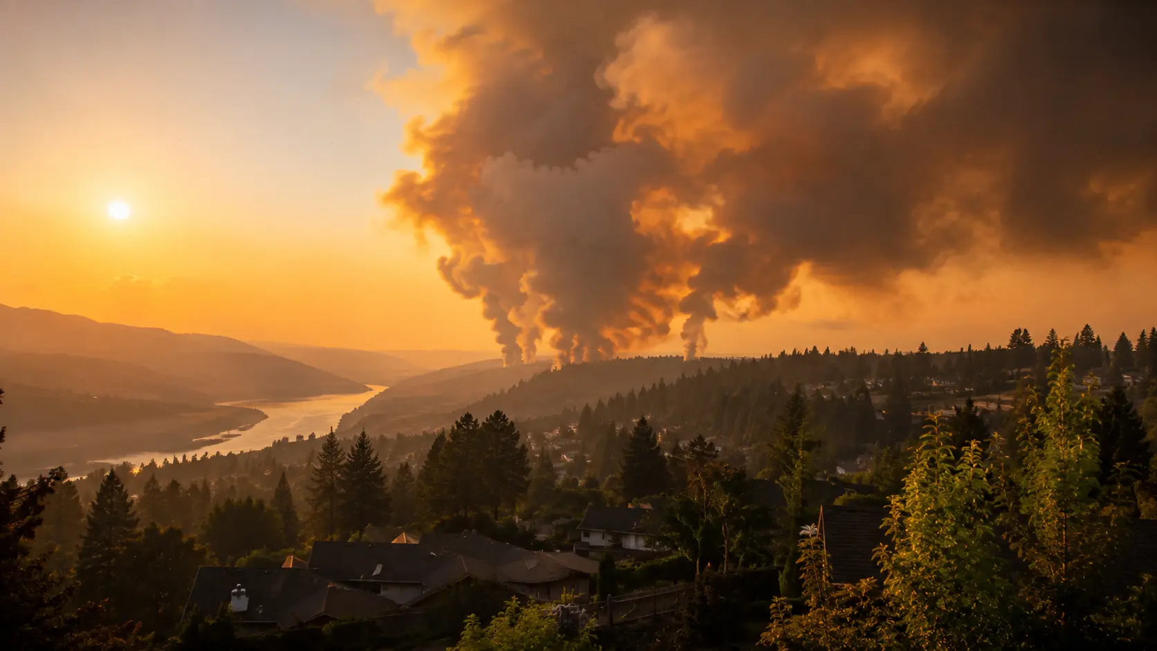
The South Coast Air Quality Management District issued a wildfire smoke advisory around 10 p.m. Saturday covering most of the Santa Clarita Valley, the I-5 corridor, and the Angeles National Forest, warning that smoke had stayed well above the surface through the afternoon and was traveling west on Santa Ana winds. The agency said the heaviest impacts were expected overnight into Sunday morning, with air quality potentially reaching unhealthy levels, and the advisory remained active through at least 8 p.m. Sunday. The Los Angeles County Public Health Department issued its own advisory alongside SCAQMD's. Anyone with asthma, heart or lung conditions, along with children, older adults, and pregnant residents in the affected corridor, should limit outdoor exertion while the advisory remains active and watch for symptoms like burning eyes, a scratchy throat, or headaches tied to smoke exposure.
What Happens Next
With a knockdown reported overnight and containment climbing to 40%, crews are shifting more of their effort toward strengthening control lines and mopping up hot spots rather than chasing active spread, though extreme heat through Tuesday night means conditions could still test those lines. Multiple air tankers were requested to rejoin the fight Sunday morning now that daylight and visibility allow fixed-wing aircraft back in the air. Expect the three zones still under evacuation order to stay in that status until containment moves further and officials are confident the fire won't push back toward Bouquet Canyon Road; the explosive ordnance discovery will also need to be resolved by an EOD unit before investigators can finish determining a cause.
Where to Get Live Updates
- Cal Fire incident page (fire.ca.gov/incidents) — official size, containment, and resource updates for the Bouquet Fire.
- Watch Duty — live, human-verified updates on evacuation zones and fire behavior.
- Angeles National Forest social media — the forest's own incident updates, posted directly from the fire.
- South Coast AQMD (aqmd.gov) — current smoke advisory status for the Santa Clarita Valley and I-5 corridor.
- Los Angeles County Fire Department — evacuation zone status and road closure updates.
This is a developing story. We'll update this article as Cal Fire, the Angeles National Forest, and Los Angeles County officials release further information on containment, evacuations, and the cause investigation.



Comments 0
No comments yet. Be the first to share your thoughts!
Leave a Comment