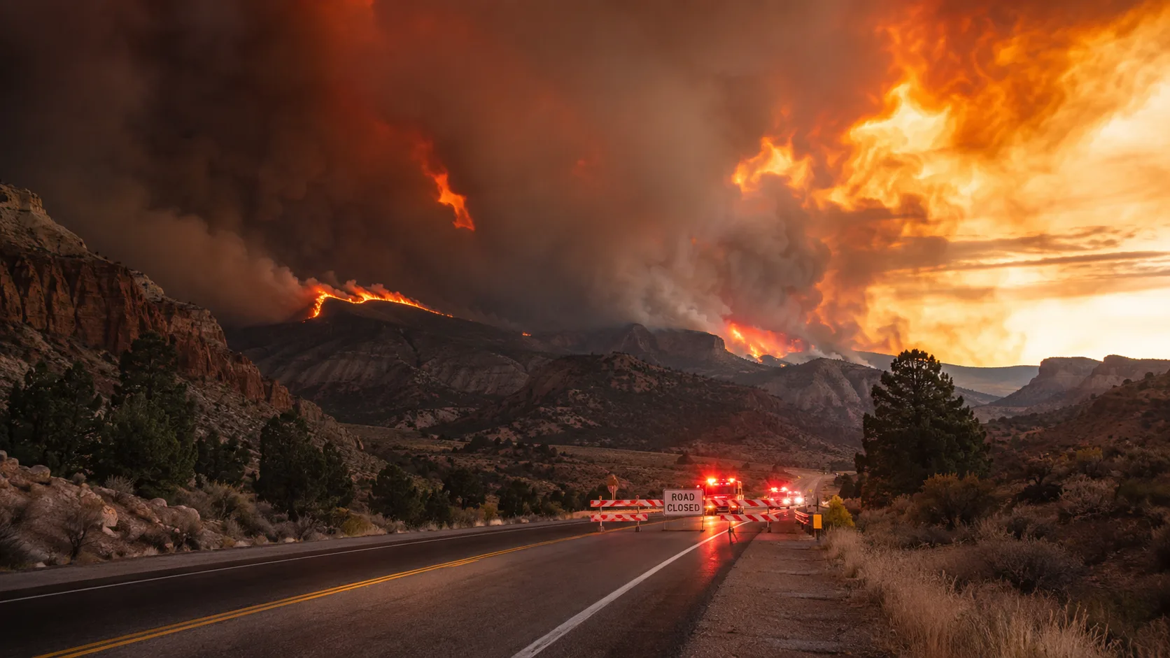
Update, August 20: The Rocky Canyon Fire has been mapped at 16,464 acres and reached 85% containment as of the most recent Utah Fire Info report on August 18. Crews spent recent days strengthening containment lines in Bishop's Canyon, patrolling the perimeter for hotspots, and using hand tools and water to eliminate remaining heat sources. All evacuation orders were lifted back on August 13 — including the full evacuation of Henefer — after containment climbed from 29% to 40% over that week. Officials have repeatedly warned that lifted evacuations are not an invitation to enter the burn area: fire managers have had to divert air tanker drops on multiple occasions because of people going into closed sections of the fire footprint. Residents should expect to see lingering smoke in the area for months as deep-seated hotspots continue to smolder within the perimeter, even as forward fire spread has stopped. No structures have been reported lost throughout the incident, and the fire remains classified as human-caused, though its exact origin has not been publicly released.
How it got here: The fire ignited Friday, August 7 near East Canyon Reservoir in Morgan County and exploded to over 13,000 acres by that Sunday night, prompting the evacuation of all of Henefer on Monday, August 10. Containment climbed steadily over the following two weeks — 23% (Aug 11) → 25% (Aug 12) → 29% (Aug 13) → 40% (Aug 13 evening) → 72% (mid-August, after vegetation dried out again following some rain and reignited a few interior pockets) → 85% (Aug 18) — as crews worked through difficult, steep terrain in Bishop's Canyon and the ridgelines near Henefer and Croydon. The full week-by-week breakdown is below.
A wildfire that forced hundreds of residents from their homes across two northern Utah counties in early August is now largely under control. What began as a fast-moving, zero-containment threat to the town of Henefer has settled into a mop-up operation, with containment climbing from 0% to 85% over roughly ten days and every evacuation order in the area lifted since August 13.
How the Rocky Canyon Fire Started and Grew
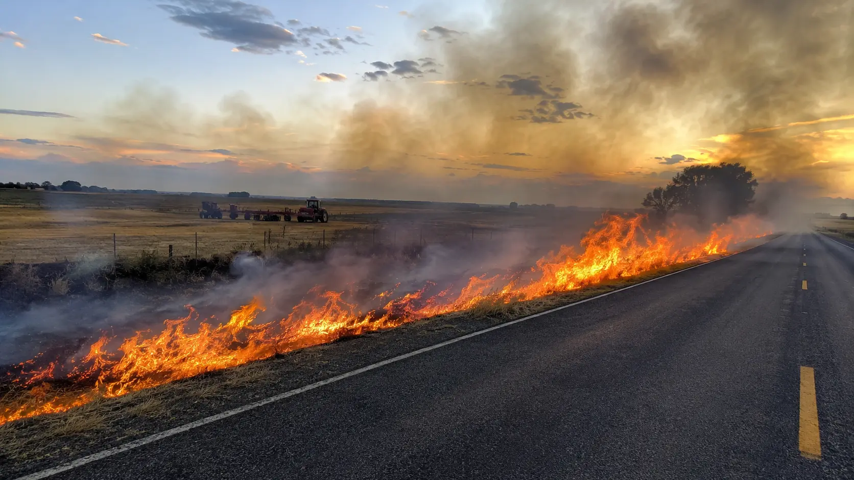
The Rocky Canyon Fire was first reported around 3:40–4 p.m. Friday, August 7, near East Canyon Reservoir off Highway 66 in Morgan County, Utah, burning in the area of Red Rock Canyon. What began as a fire under 100 acres was mapped at about 595 acres by Saturday, with only 5% active flanks and crews hopeful of getting a handle on it by the end of the day. Instead, extreme heat and high winds pushed the fire into a major afternoon run, and by Saturday evening updated aerial mapping put it between 1,200 and 2,800 acres, still 0% contained, as it crossed from Morgan County into Summit County. Sustained winds of 50 to 70 mph drove the fire further overnight into Sunday, reaching an estimated 13,000-plus acres as it pushed northeast toward Henefer and spotted across State Route 65. By Monday evening, updated mapping had the fire at roughly 13,600 acres — after a same-day estimate briefly put it above 15,000 acres — still at 0% containment, with its most active growth on the north and east perimeter after crossing into Franklin Canyon. Overnight, the fire had its most active behavior yet, but aggressive mop-up of wind-driven hotspots paid off: by Tuesday morning, more precise mapping held the fire at 13,601 acres and containment had jumped to 23%, with the SR-66 corridor from Hogsback toward Morgan now holding. State fire officials have said the fire is human-caused, though the precise cause remains under investigation. Containment continued climbing in the days that followed: 25% at 15,366 acres by Wednesday, August 12, as light rain and cooler weather helped crews secure the southeast corner near the I-84/I-80 junction; 29% at 15,662 acres by Thursday, August 13, with growth limited almost entirely to the timbered ridges between Henefer and Croydon on the fire's north side. That same Thursday afternoon, the Summit County Sheriff's Office lifted the last active evacuation orders in Henefer, moving the town from "GO" to "SET" status, with only the inaccessible north end of East Canyon State Park still formally evacuated. By Thursday evening, containment had reached 40% on a fire mapped at more than 15,600 acres. Progress slowed over the following days as a stretch of rain gave way to drying vegetation, which reignited scattered pockets within the perimeter and pushed containment only to 72% by roughly August 16, at 15,950 acres, with continued heat and torching reported in the steep, hard-to-reach terrain of Bishop's Canyon. Crews used the following days to strengthen lines and patrol for hotspots, bringing the fire to its current 85% containment and 16,464 acres as of the August 18 Utah Fire Info update.
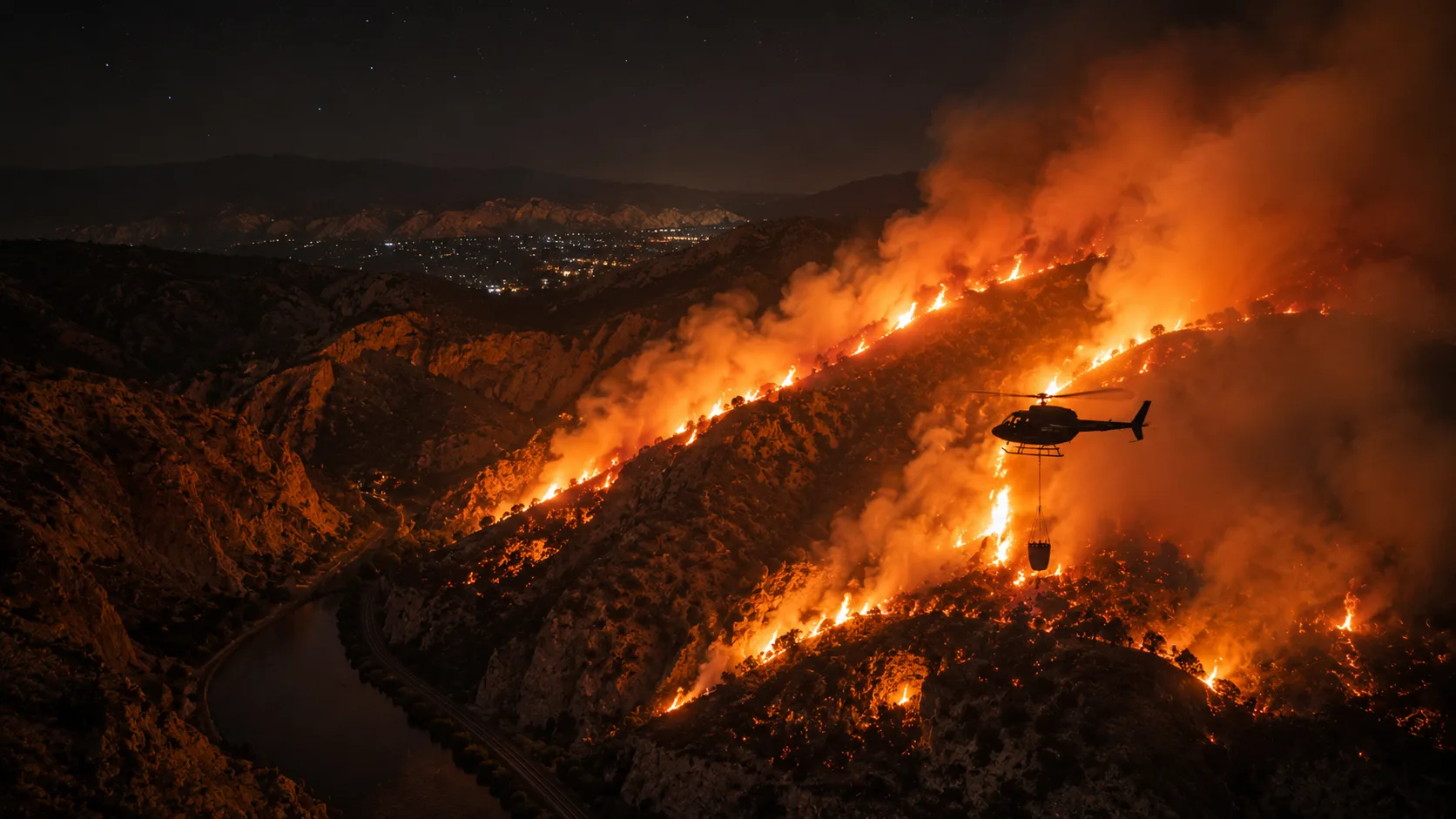
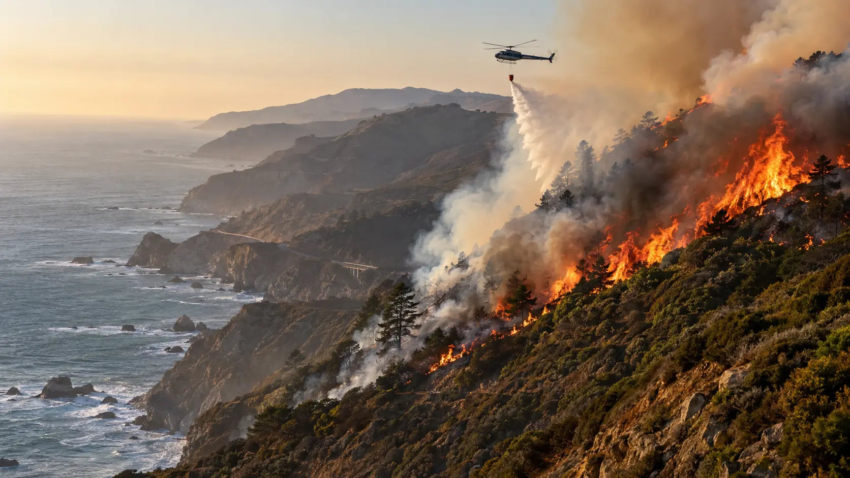
The response has involved multiple agencies, including Utah's Division of Forestry, Fire and State Lands, Morgan County and Summit County sheriff's offices, and the Utah National Guard, with three Type 3 helicopters, three Type 1 helicopters, and Very Large Air Tankers (VLATs) dropping water on the fire around the clock. A Northern Utah Interagency Type 3 incident management team took over command as the fire grew. Crews completed and held strategic firing operations from Hogsback to East Canyon Dam overnight into Monday, and the southwest edge of the fire along Highway 66 toward Morgan has held well. The north and east perimeter, where the fire crossed Franklin Canyon, remains especially difficult to access, and crews are working directly against the flames there to slow progression and protect structures. Officials have asked the public to avoid flying drones over the fire area, since unauthorized drone activity can ground firefighting aircraft, and have asked recreators to stay out of East Canyon Reservoir so helicopters can draw water for bucket drops.
Evacuations: Where Things Stand
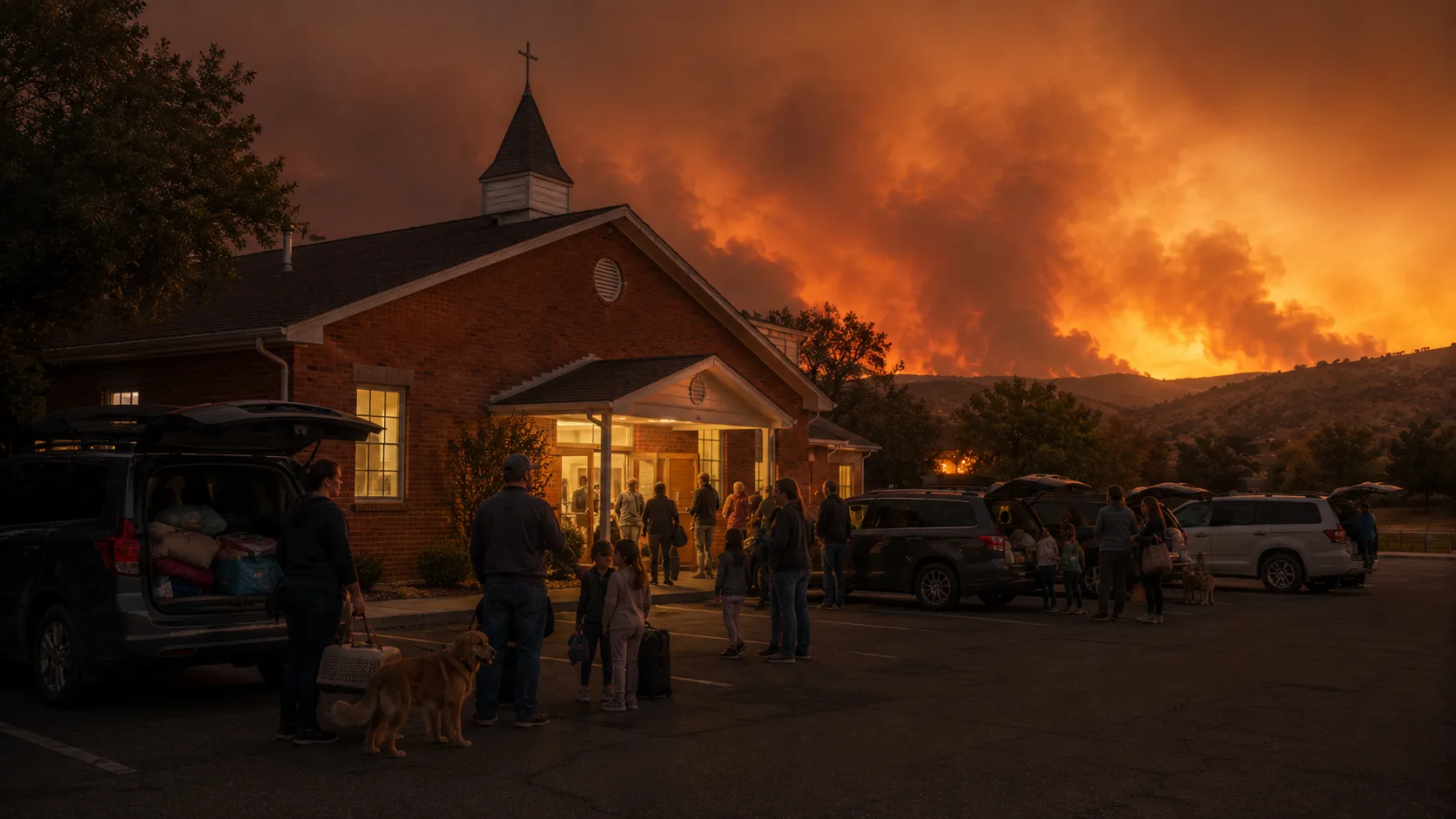
Evacuation orders shifted in stages as containment improved, and every order has since been lifted. From Hog Back Summit's "READY" status on the first Saturday, orders expanded to cover all of Henefer by that Monday evening as the fire's northeast perimeter pushed through Franklin Canyon — an evacuation that ultimately moved roughly 517 people, close to 62% of the town's population, with officials confirming everyone got out safely. Residents on Highway 66 between White's Crossing and East Canyon Dam were the first allowed home, on Tuesday, August 11. The remaining Henefer-area orders came down in stages over the following days: the area between Franklin Canyon, Icy Springs, and Wohali Way near Coalville, homes south of State Route 65 and west of 300 West, and finally the west side of Main Street in Henefer between East Canyon Road and South Henefer Road were all moved from "GO" to "SET" status by Thursday, August 13. At a community meeting that evening, Summit County Sheriff Kacey Bates thanked residents and responders, while officials reiterated that a "SET" status is not a signal that the danger has passed — residents were asked to stay alert in case conditions change again. Even with evacuations lifted, officials have repeatedly asked people to stay out of the closed fire area entirely: U.S. Forest Service liaison Jason Bullough said in a community meeting that crews have had to divert multiple air tanker drops because residents drove back into the closed area to look at the burn scar. The Coalville LDS meetinghouse shelter has since closed along with the rest of the emergency response infrastructure as the incident has wound down. Officials continue to stress that Utah Fire Info is the only official source for fire information and that county sheriffs are the only official source for evacuation status, after a technical glitch briefly sent an overly broad evacuation alert across parts of Utah in the fire's first days.
- ✓Coalville evacuation shelter: The Church of Jesus Christ of Latter-day Saints meetinghouse, 40 N. Main St., Coalville.
- ✓Morgan County shelter: MHS Trojan Century Center — bring go-bags, medications, and important documents; pet carriers recommended.
- ✓Large animals/livestock: County Fair Grounds can accommodate larger farm animals.
- ✓Evacuation status: All GO orders lifted as of August 13; Henefer and surrounding areas moved to "SET." The public is still asked to stay out of the closed fire footprint.
- ✓Still closed to entry: The fire footprint itself, including the north end of East Canyon State Park, remains off-limits to the public even though evacuation orders have lifted.
- ✓Federal assistance: FEMA approved Utah's Fire Management Assistance Grant Monday, freeing up federal funds for firefighting costs. More than 150 homes and buildings have been threatened since the fire began.
- ✓Containment: 85% as of August 18, on a fire mapped at 16,464 acres.
Road Closures
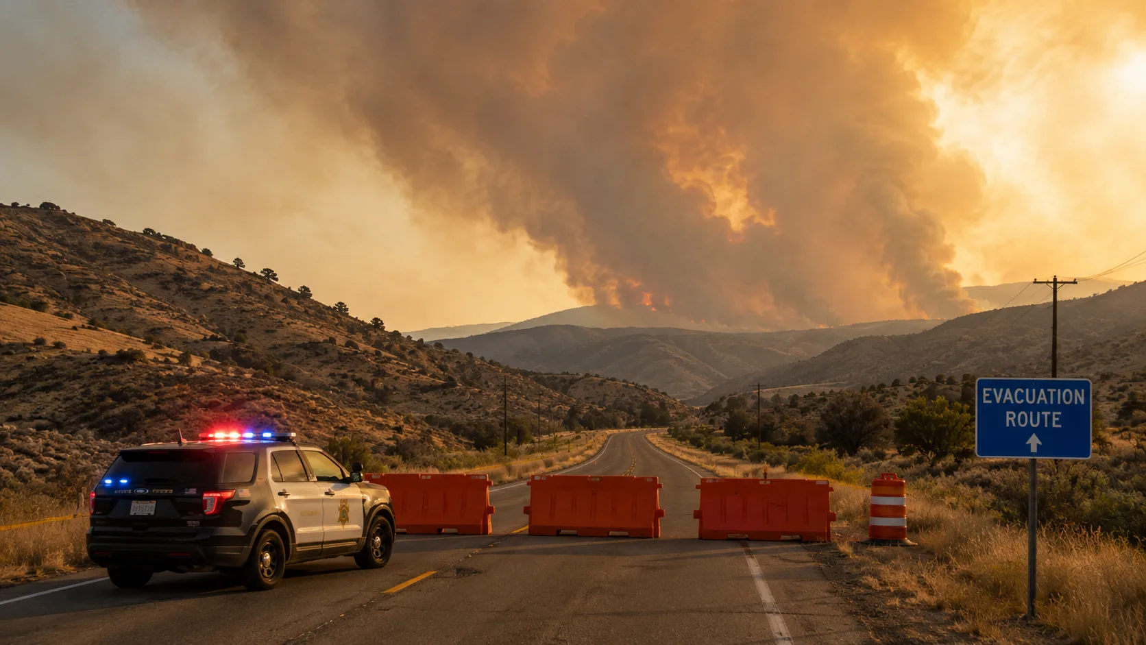
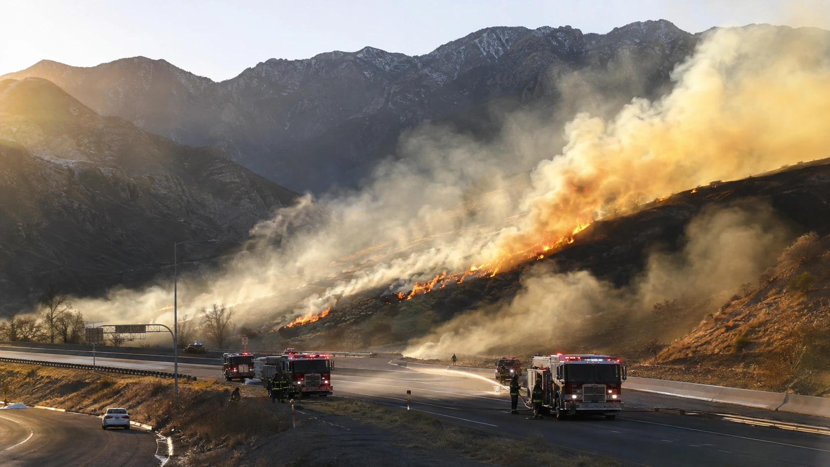
Highway 66 was closed toward the East Canyon State Park entrance from the fire's early growth and, along with State Route 65 and roads near East Canyon Reservoir, stayed closed through the height of the firefight to support operations, including firing operations meant to remove fuel ahead of the fire's path. Most roads have since reopened to general traffic as containment climbed, though the fire footprint itself — including sections around East Canyon Reservoir — remains closed to public entry while crews finish mop-up. Drivers in the Henefer–Echo Reservoir area along I-84 may still see occasional firefighter activity and lingering smoke, and officials continue to ask people not to enter closed sections just to view the burn scar, since it can force crews to divert resources meant for active hotspot work.
Part of a Bigger Picture: Utah's 2026 Fire Season
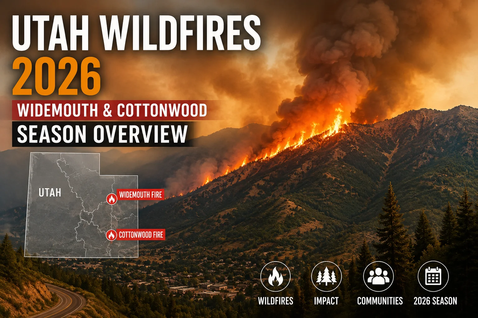
The Rocky Canyon Fire was never the largest fire Utah dealt with this summer — it was one of several burning at once during a season that pushed the Great Basin region to National Preparedness Level 5, the federal system's highest tier, for weeks on end. The Widemouth 2 Fire in Millard and Sevier counties went on to become Utah's largest wildfire of 2026 at more than 129,000 acres, and the Cottonwood Fire near Beaver destroyed roughly 150 structures before crews got it under control. For the full picture of what burned across the state this season, including the two firefighting deaths that made 2026 especially difficult, see our complete Utah wildfires 2026 roundup.
Stay informed, avoid misinformation: Given Sunday's technical-glitch evacuation alert, officials are asking residents to confirm evacuation status only through Utah Fire Info's official channels and the Summit County and Morgan County sheriff's offices rather than forwarded alerts or social media posts. Do not call 911 for status updates.
With containment at 85% and every evacuation order lifted, the Rocky Canyon Fire has moved into a long mop-up phase rather than an active emergency — but fire managers say lingering hotspots in the timber stringers of Bishop's Canyon could keep producing visible smoke for months even as the perimeter stays secure. We'll continue to update this article as Utah Fire Info reports full containment and as any further detail on the fire's human-caused origin becomes available.



Comments 0
No comments yet. Be the first to share your thoughts!
Leave a Comment