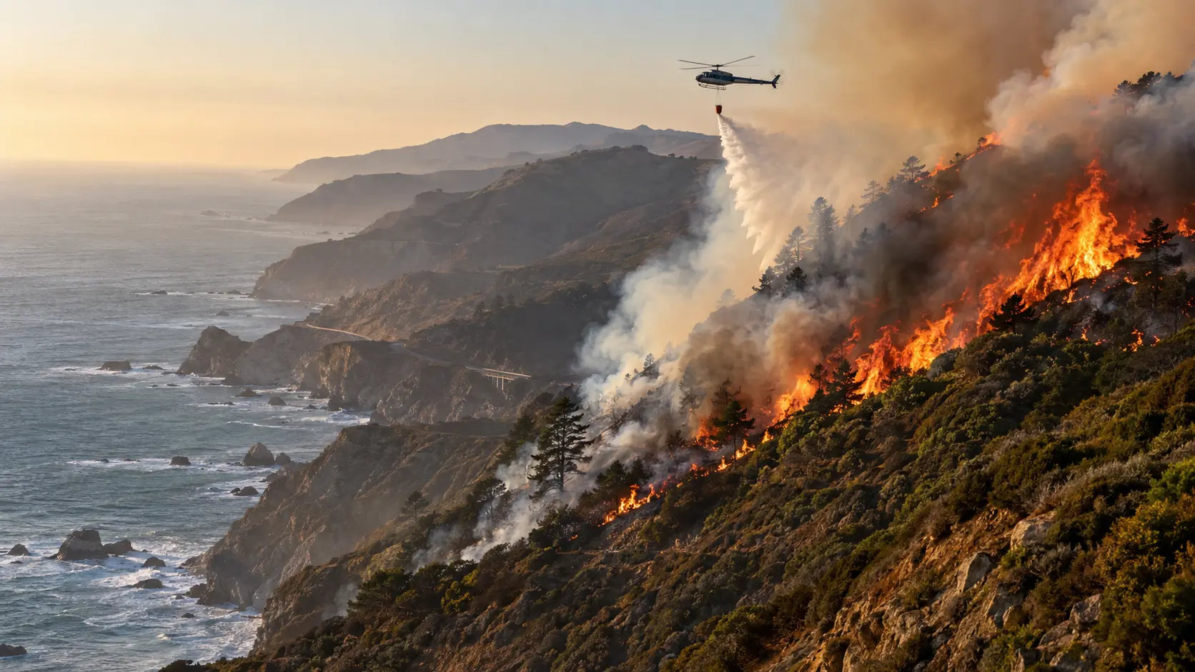

September 8 update — 47% contained. The Plaskett Fire has burned 29,862 acres near Big Sur in Monterey County. Evacuation Orders and Warnings remain in effect across portions of Monterey County and Fort Hunter Liggett, with additional Evacuation Warnings in San Luis Obispo County. Highway 1 remains closed from Kirk Creek Campground at mile marker 19 south to the Monterey/San Luis Obispo County line. The cause remains under investigation.
Firefighters have made substantial containment progress on the Plaskett Fire after the blaze expanded rapidly through steep and difficult terrain along California's Central Coast. The fire began August 26 off Forest Road 23S10, east of Los Burros Road, and is being managed by California Interagency Incident Management Team 7 under the jurisdiction of the U.S. Forest Service's Los Padres National Forest.
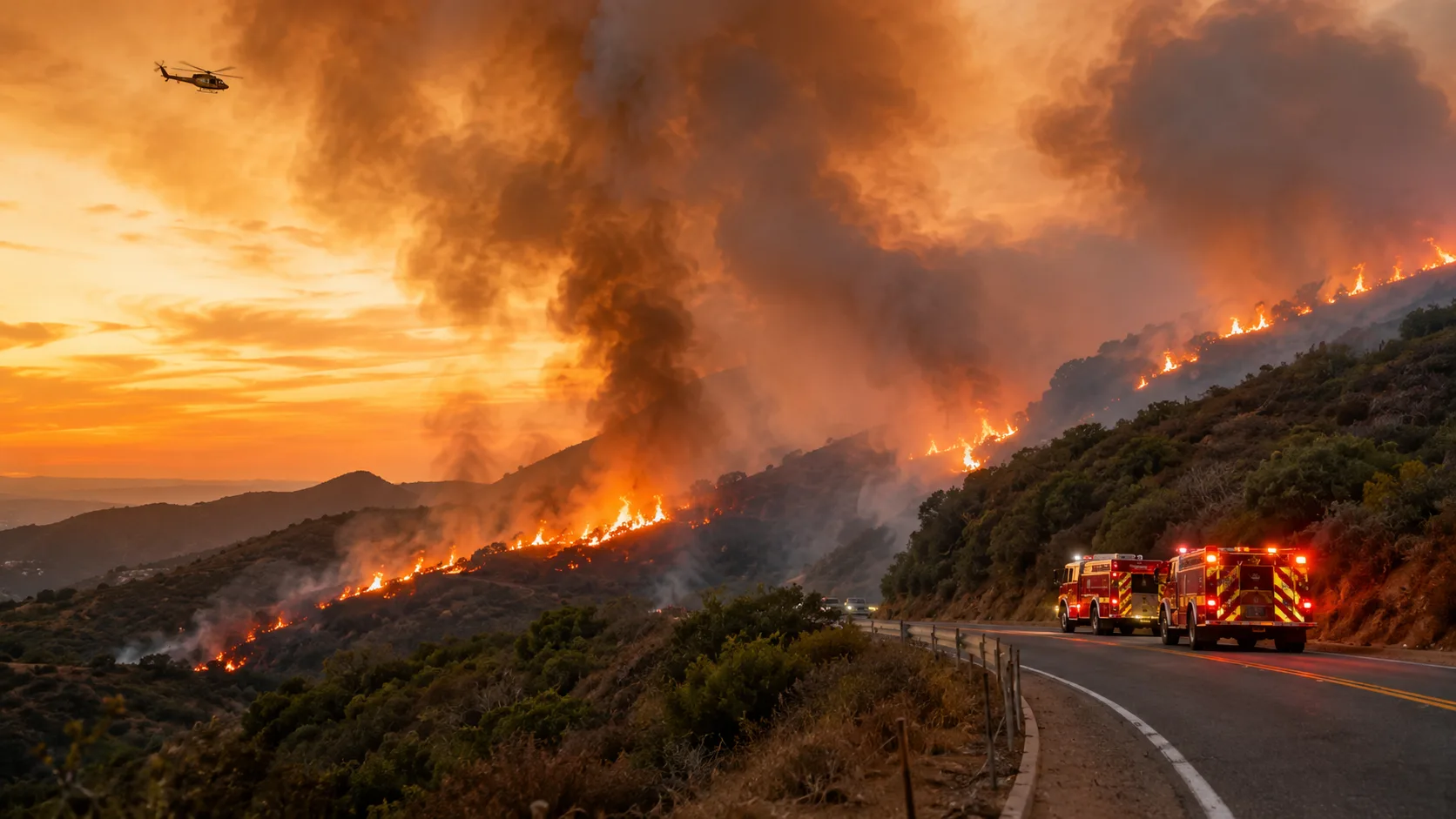
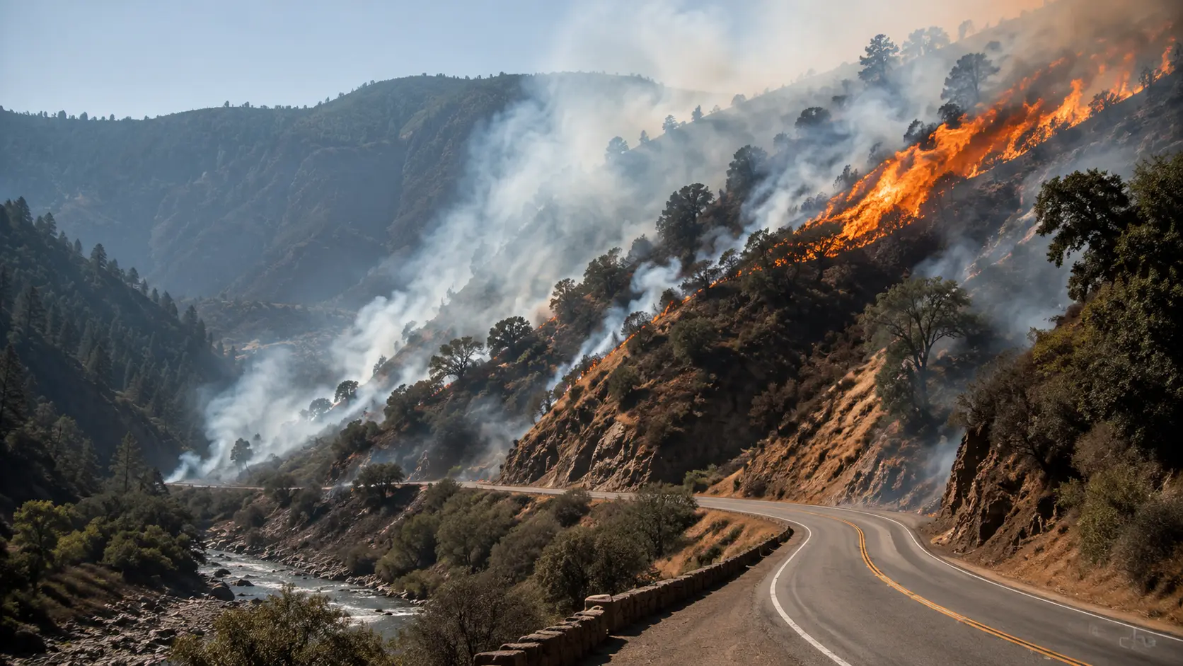
The latest official update says crews are strengthening both direct and indirect control lines, securing areas where the fire previously grew and working to connect containment lines along the eastern side of the incident. Strategic firing operations and aviation support continue to assist firefighters. Steep terrain, limited access and warmer, drier weather remain concerns.
Plaskett Fire Status and Firefighting Operations
The Plaskett Fire was listed at 29,862 acres and 47% containment in the latest CAL FIRE incident information available September 8. The fire is not a CAL FIRE jurisdictional incident; the agency is carrying updates from the U.S. Forest Service and the interagency team managing the response.
Crews continue to reinforce control features around the perimeter and secure areas affected by earlier fire growth. The eastern portion remains a focus as firefighters work to connect containment lines. Structure defense and protection of critical infrastructure remain operational priorities.
Containment progress: The incident was reported at 37% containment on the morning of September 7 and increased to 47% by that evening. The mapped acreage has remained close to 29,862 acres while crews strengthen and connect control lines.
Current Evacuation Orders and Warnings
Evacuation areas have expanded considerably since the first day of the fire. The original article listed only three Monterey County zones; the current official incident page lists the following zones:
| Status | Zones |
|---|---|
| Evacuation Orders | FHL-G011, FHL-G012-B, FHL-G014, FHL-G017, FHL-G018, FHL-G019, FHL-G023, FHL-G026, FHL-G028, MRY-F034, MRY-F035, MRY-F036, MRY-F037, MRY-F038, MRY-G016 |
| Evacuation Warnings — Monterey County / Fort Hunter Liggett | FHL-G004, FHL-G005, FHL-G008, FHL-G009, FHL-G012-A, FHL-G012-C, FHL-G015, FHL-G016, FHL-G016-B, FHL-G020, FHL-G021, FHL-G022, FHL-G024, FHL-G025, FHL-G027, FHL-G029, MRY-F033, MRY-F039, MRY-G015 |
| Evacuation Warnings — San Luis Obispo County | SLC-001, SLC-002, SLC-003 |
Residents should use current county evacuation maps and official emergency alerts before acting on zone information, because orders and warnings can change as containment lines are completed or fire behavior shifts.
Highway 1 Closure and Evacuation Shelter
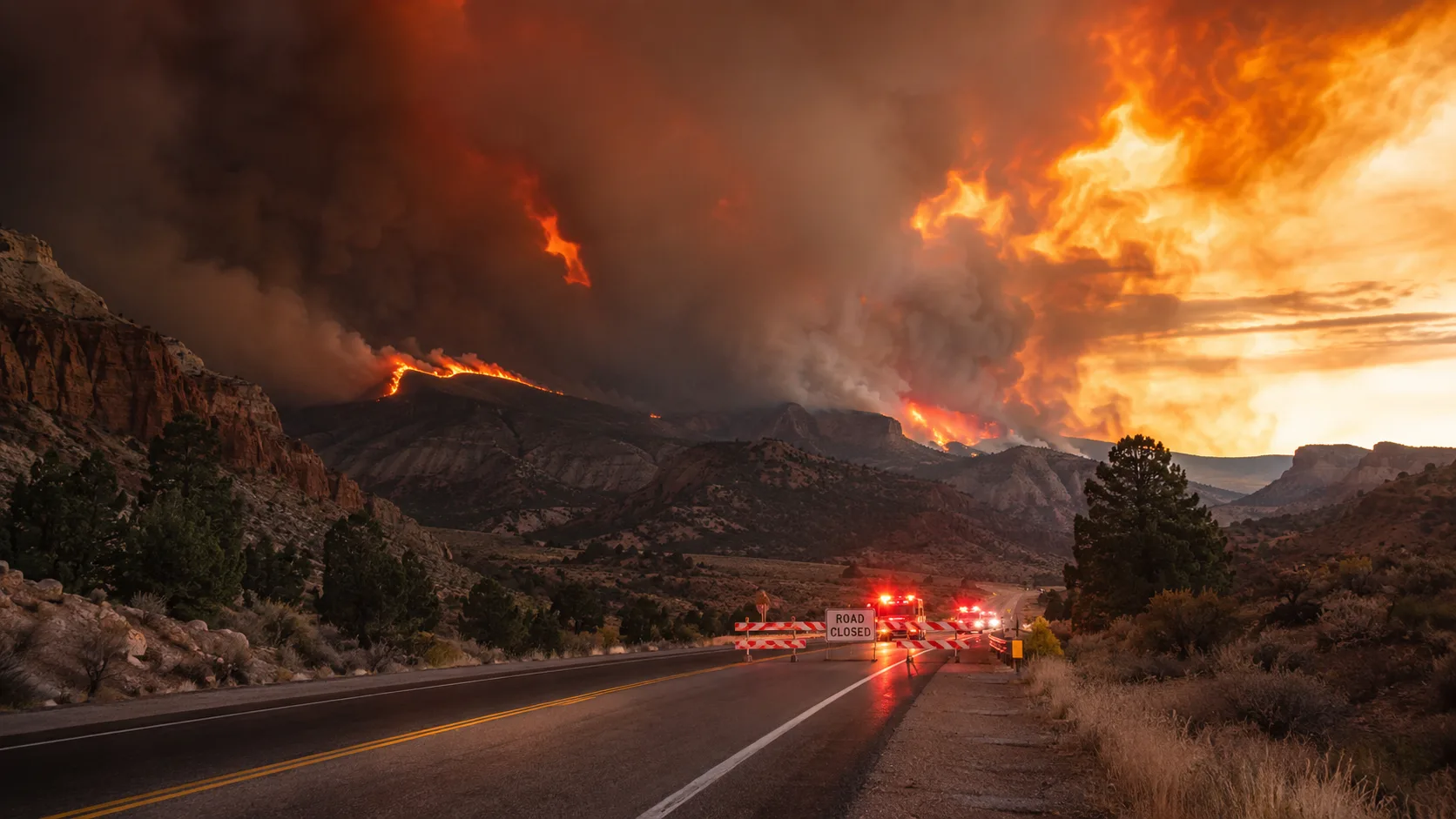
A portion of Highway 1 remains closed for Plaskett Fire operations. The current closure runs from mile marker 19 at Kirk Creek Campground south to mile marker 0.0 at the Monterey/San Luis Obispo County line.
The current Timber and Plaskett Fire evacuation shelter listed by CAL FIRE is Santa Rosa Catholic Church, 1174 Main St, Cambria, California.
Official Plaskett Fire Operations Video
California Interagency Incident Management Team 7 published an official operational update on September 8. Operations Section Chief Nick Cleary explains the overnight activity and the day's containment plan. The video is linked directly from the official CAL FIRE incident page and is embedded with this article through the post's YouTube video field.
Watch: Plaskett Fire Operational Update — September 8, 2026
Why the Plaskett Fire Has Been Difficult to Contain
The incident has repeatedly challenged crews with steep, rugged terrain, heavy vegetation and limited ground access. Firefighters have used a combination of direct and indirect line construction, strategic firing operations and aircraft support to secure the perimeter. Officials say warmer and drier conditions are expected this week, making continued reinforcement of control lines important even as the containment percentage rises.
The nearby Timber Fire is a separate incident. Both fires have affected the Big Sur area, but the Plaskett Fire remains under its own incident management structure and evacuation footprint.
Frequently Asked Questions
How big is the Plaskett Fire?
The latest official figure is 29,862 acres.
How contained is the Plaskett Fire?
The fire is 47% contained as of the latest September 8 incident information.
What caused the Plaskett Fire?
The cause remains under investigation.
Are evacuations still in effect?
Yes. Evacuation Orders and Warnings remain active for multiple zones in Monterey County and Fort Hunter Liggett, with Evacuation Warnings also listed in San Luis Obispo County.
Is Highway 1 open through the fire area?
No. The official incident page lists a closure from mile marker 19 at Kirk Creek Campground to mile marker 0.0 at the Monterey/San Luis Obispo County line.
Where to Get Live Updates
- CAL FIRE Plaskett Fire incident page — current acreage, containment, evacuation zones and incident updates.
- InciWeb — official incident information from the agencies managing the fire.
- County emergency alerts — use Monterey and San Luis Obispo County systems for the latest evacuation status.
Developing incident: Acreage, containment, road closures and evacuation zones can change quickly. This page reflects official information available late morning September 8, 2026.

Comments 0
No comments yet. Be the first to share your thoughts!
Leave a Comment