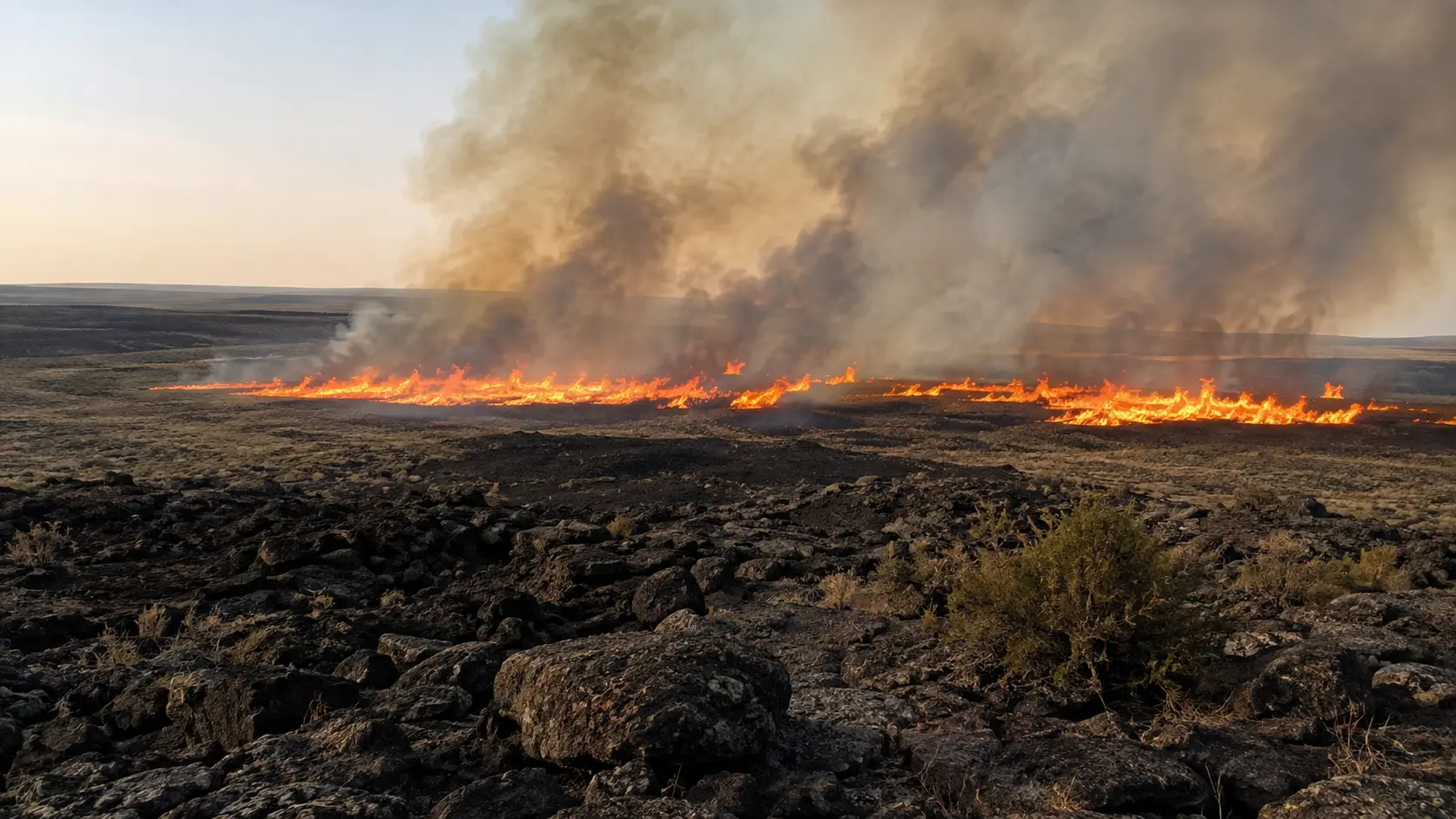

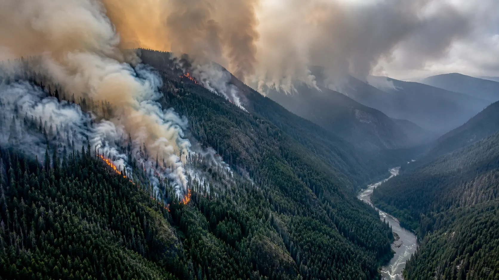
10% contained. The Wildhorse Fire ignited around 5 p.m. on Monday, August 24, 2026, about 10 miles north of Kimama in Lincoln County, Idaho, after lightning from a passing thunderstorm sparked multiple fires across the region. It has since grown to an estimated 74,316 acres as of Thursday afternoon. The Blaine County Sheriff's Office issued a Level 3 "GO NOW" evacuation order for the South Carey Zone Wednesday night as the fire approached Carey, later downgrading it to Level 2 "Set" Thursday morning as conditions improved; Lincoln County has a Level 1 "Ready" notice in place for Richfield. Fire officials expect containment by Friday evening and full control by Sunday evening. This article will be updated as containment figures and evacuation levels change.
The Wildhorse Fire was one of several blazes sparked by the same lightning storm that swept across south-central Idaho on August 24, alongside the smaller Tuana Gulch and West Windmill fires near Bliss. While those smaller fires were quickly contained, the Wildhorse Fire exploded in size, growing from 60 acres to tens of thousands of acres within days as it burned through remote, difficult terrain.
How the Wildhorse Fire Grew
| Date | Size |
|---|---|
| Mon, Aug 24 (ignition) | 60 acres |
| Tue, Aug 25 | 21,862 acres, 0% contained |
| Wed, Aug 26 | 50,000 acres, 10% contained |
| Thu, Aug 27 | 74,316 acres, 10% contained |
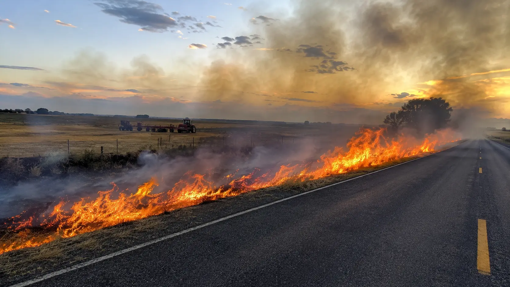
Crews have relied heavily on burnout operations — deliberately burning fuel ahead of the main fire to deny it a path forward — as their primary containment strategy. On Wednesday, flames from one of those burnout operations jumped Highway 93, forcing a temporary closure; crews stopped the burnout work and fully suppressed the escaped fire before it could spread further. Lava fields and lava blisters in the area have made some sections of terrain especially difficult for ground crews to access, according to local reporting.
Evacuation Levels
| Area | Status |
|---|---|
| South Carey Zone (Blaine County) | Downgraded to Level 2 "Set" Thursday morning, after a Level 3 "GO NOW" order Wednesday night |
| Richfield area (Lincoln County) | Level 1 "Ready" notice; no evacuation order in place |
The Blaine County Sheriff's Office issued the Level 3 order for the South Carey Zone — from Preacher Bridge on the east side of Highway 26 to Red Hawk Lane — as the fire approached the community Wednesday night, then reduced it to Level 2 Thursday morning as fire behavior calmed. In Lincoln County, the sheriff's office has not ordered an evacuation for Richfield but urged residents to prepare: ensure they can receive emergency alerts, keep vehicles fueled, gather medications and important documents, check on neighbors who may need help, and make arrangements for livestock and pets. A section of U.S. Highway 26/93 between Carey and Richfield was briefly closed when the fire crossed the road near Bear Track Williams fishing access on the Little Wood River, but has since reopened.
Frequently Asked Questions
Is the Wildhorse Fire contained?
As of Thursday afternoon, August 27, 2026, the Wildhorse Fire was 10% contained after burning an estimated 74,316 acres. Fire officials expect containment by Friday evening and full control by Sunday evening. Check the live sources below for the current figure.
What caused the Wildhorse Fire?
The fire was caused by lightning from a thunderstorm that passed over south-central Idaho on August 24, which also sparked several smaller nearby fires.
Are evacuations in place for the Wildhorse Fire?
The South Carey Zone in Blaine County is under a Level 2 "Set" evacuation status, downgraded from a Level 3 "GO NOW" order issued Wednesday night. Richfield-area residents in Lincoln County are under a Level 1 "Ready" notice, with no evacuation order currently in place.
Is Highway 26/93 open?
Yes. The section between Carey and Richfield that was temporarily closed when the fire crossed the road has since reopened to traffic.
Where to Get Live Updates
- U.S. Wildland Fire Service / Bureau of Land Management — official incident size and containment updates.
- Blaine County Sheriff's Office — evacuation levels for the Carey area.
- Lincoln County Sheriff's Office — alerts for the Richfield area.
- National Interagency Fire Center (NIFC) — national fire activity and resource status.
- Local broadcasters — KTVB, KMVT, and KIFI/LocalNews8 provided on-the-ground coverage.
This article will be updated as containment increases or evacuation levels change. Verify any update against official Blaine County or Lincoln County channels before making safety decisions.

Comments 0
No comments yet. Be the first to share your thoughts!
Leave a Comment