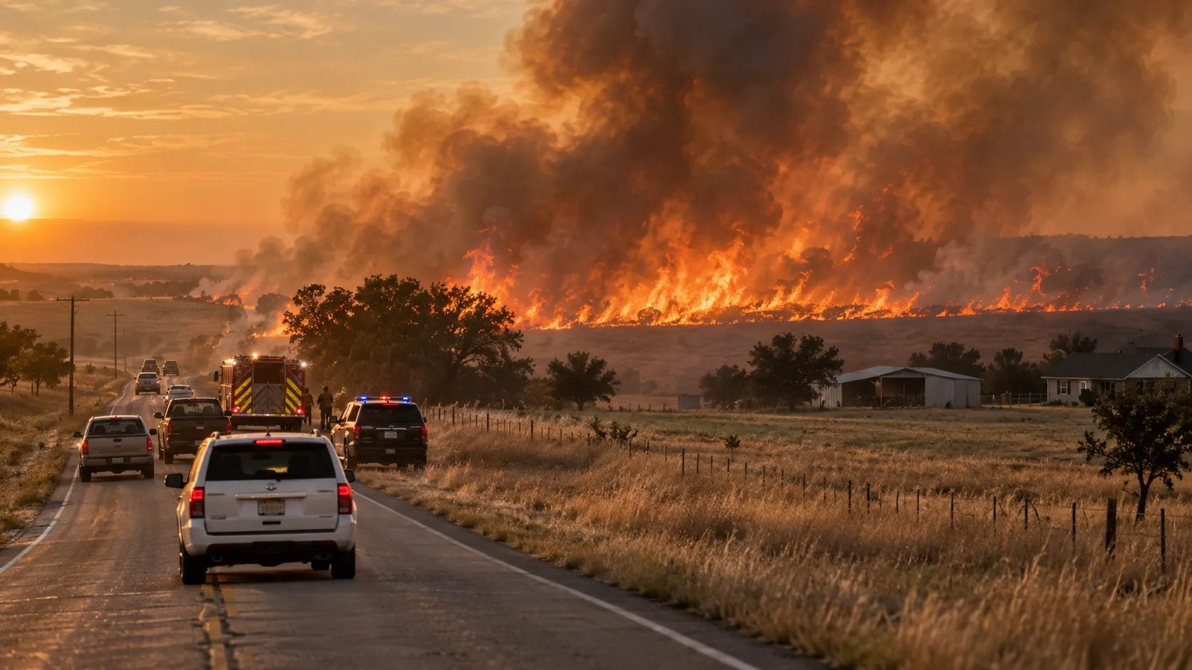

Latest update: The Alma Fire in Ellis County, Texas, burned roughly 250 acres east of Alma near Farm to Market Road 1182 after breaking out Friday evening, September 4, 2026. Residents near Zmolek Road, Bruce Road and FM 85 were told to evacuate as the fire moved north through dry grass. Evacuees were directed to the Cowboy Church of Ennis. An earlier late-Friday report placed the fire near 230 acres and 0% contained; CBS Texas reported approximately 250 acres in its September 5 video update. Because this is a fast-changing incident, residents should use Ellis County emergency channels for the current evacuation and containment status.
Searches for both “Alma Fire” and “Ennis Fire” are referring to the same Ellis County grass fire. Alma sits just south of Ennis, and the evacuation area extended through rural roads between the two communities. The fire was reported east of Alma and moving north from FM 1182, placing homes and ranch properties along nearby county roads in the path of the advancing flames.
In this article:
What Happened Near Alma and Ennis?
The grass fire developed Friday evening in rural Ellis County, east of the small town of Alma and south of Ennis. Initial reporting placed the active fire along FM 1182, with the head of the fire moving north. That direction of travel brought the fire toward scattered homes, farms and ranch properties along Zmolek Road, Bruce Road and FM 85.
The incident quickly became a regional story because the fire was close enough to Ennis that many residents searching for updates used the phrase “Ennis Fire,” while emergency reports and later news coverage identified the incident as the Alma Fire. Both search terms refer to the same Ellis County event.
Evacuations and the Cowboy Church of Ennis Shelter
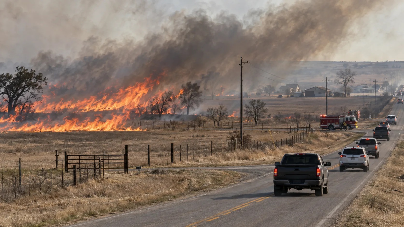
Residents along Zmolek Road, Bruce Road and FM 85 were urged to leave as the fire advanced north. Emergency officials directed evacuees to the Cowboy Church of Ennis, where assistance was available for people leaving the threatened area.
If you are in the affected area: do not use this article as an evacuation map. Road-by-road conditions can change faster than news reports. Follow Ellis County emergency alerts, law-enforcement instructions and local fire officials.
FM 1182 runs northeast from the I-45/US 287 corridor between Alma and Rice before connecting with FM 85, which helps explain why those roads became important reference points as the fire moved north. Rural fires in this area can cross open grassland rapidly and threaten isolated structures before a traditional neighborhood-wide evacuation is issued.
How Large Is the Alma Fire?
An early report late Friday placed the fire at approximately 230 acres with 0% containment. CBS Texas' September 5 video update described the fire as having burned about 250 acres. Those figures should be read as snapshots rather than permanent totals: wildfire acreage is routinely revised after crews map the perimeter more accurately.
| Update | Reported status |
|---|---|
| Friday evening, Sept. 4 | Approximately 230 acres; initial reporting said 0% containment as evacuations were ordered. |
| Saturday, Sept. 5 | CBS Texas described the Alma Fire as approximately 250 acres in a new video update. |
No reliable final acreage or final containment figure had been published in the sources reviewed for this update. The headline therefore uses the later 250-acre figure while avoiding a stale containment percentage.
Dry Conditions and Ellis County's Burn Ban
The Alma Fire occurred while Ellis County was already under a countywide burn ban. County officials approved the ban on July 21, 2026, amid dry conditions. The National Weather Service's Dallas/Fort Worth fire-weather forecast on September 4 also warned that North Texas continued to face an elevated fire-weather threat in dry areas because of well-above-normal temperatures, low relative humidity and dry fuels.
A burn ban does not establish what caused a specific fire. As of this update, a confirmed ignition cause for the Alma Fire had not been published in the sources reviewed. The combination of cured grass, heat and dry fuels can, however, allow any ignition to spread quickly once flames become established.
Fire Department Response in Ellis County
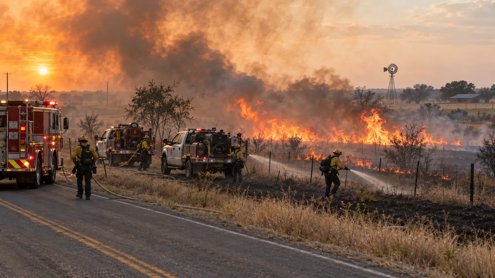
Alma and Ennis are both served by established local fire organizations, and the Texas A&M Forest Service's FireConnect directory lists the Alma Volunteer Fire Department and Ennis Fire Department among Ellis County agencies. Large rural grass fires often require a multi-agency response because brush trucks, engines, water tenders and personnel may have to cover a broad perimeter while simultaneously protecting homes and keeping evacuation routes open.
The exact agency-by-agency resource count for the Alma Fire had not been published in the sources reviewed at the time of this article. Rather than estimate those numbers, this page will be updated if Ellis County or responding departments release an official incident summary.
Frequently Asked Questions
Are the Alma Fire and Ennis Fire the same fire?
Yes. Current reporting identifies the incident as the Alma Fire, but because it is close to Ennis and evacuees were directed to Ennis, many people are searching for it as the “Ennis Fire.”
How many acres has the Alma Fire burned?
CBS Texas reported about 250 acres on September 5. An earlier report had estimated approximately 230 acres.
Where were evacuations ordered?
Initial evacuation notices covered residents along Zmolek Road, Bruce Road and FM 85 as the fire moved north from FM 1182.
Where is the evacuation shelter?
Evacuees were directed to the Cowboy Church of Ennis. Check current Ellis County instructions before traveling there, because shelter operations can change as an incident evolves.
What caused the Alma Fire?
A confirmed cause had not been published in the sources reviewed for this update. Ellis County was under a burn ban when the fire occurred, but the existence of a burn ban does not by itself establish the ignition source.
Where to Get Live Updates
- Ellis County — county emergency information, burn-ban notices and official announcements.
- National Weather Service Dallas/Fort Worth — current fire-weather conditions and warnings.
- CBS Texas — September 5 video update reported the Alma Fire at about 250 acres.
- Local law enforcement and fire departments — use their current instructions for evacuation zones, road access and re-entry.
This article will be updated if officials release a final acreage, containment percentage, cause determination or confirmation that evacuation orders have been lifted.

Comments 0
No comments yet. Be the first to share your thoughts!
Leave a Comment