
Published: · Reviewed by Ertuğrul Öz, Firefighter Sergeant, Ankara Metropolitan Fire | Training & Operations
Latest update: September 17, 8:00 a.m. PT: CAL FIRE's 8 a.m. update says the Floriston Fire held within its overnight perimeter, now mapped at approximately 640 acres and 5% contained. Two spot fires were identified to the north, and the Sacramento Regional Incident Management Team has assumed command of the incident. With down-canyon winds expected through Friday, crews are shifting focus to the fire's north side, toward Reno. Westbound Interstate 80 remains closed at the Nevada state line with no estimated reopening time, and evacuation orders and warnings remain active across Nevada County, Sierra County, and Washoe County. About 131 NV Energy customers remain without power, and a regional air quality advisory covering Reno-Sparks stays in effect. No structures have been reported burned and no injuries have been reported as of this update.
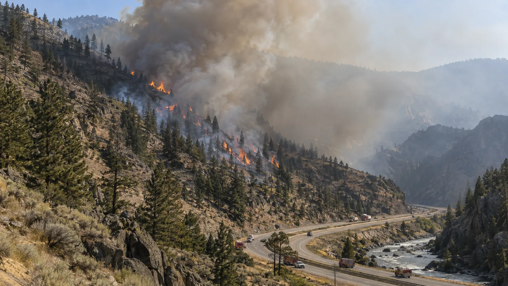
The Floriston Fire was first reported around 10 a.m. Wednesday, September 16, near Interstate 80 and Floriston Way — a small community about nine miles northeast of Truckee, California, sitting almost exactly on the California-Nevada border along the Truckee River canyon. CAL FIRE initially reported a dangerous rate of spread. The fire grew from an estimated 20 acres at 11 a.m. to 295 acres by early afternoon and roughly 613 acres by Wednesday evening, driven by gusty winds pushing flames eastward on dry fuels with long-range spotting reported ahead of the main fire front.
In this article:
How Fast the Fire Grew
| Time (Wed–Thu) | Size | Containment |
|---|---|---|
| 11:00 a.m. Wed | 20 acres | 0% |
| 12:13 p.m. Wed | 295 acres | 0% |
| 3:04 p.m. Wed | 300 acres | 5% |
| 6:30 p.m. Wed | 613 acres | 4–6% |
| 8:00 a.m. Thu | ~640 acres | 5% |
Overnight growth was minimal compared to Wednesday's rapid spread — CAL FIRE reported the fire stayed within its established perimeter, with crews building dozer line along the south side and hand line around other portions of the fire while two new spot fires were caught to the north. The cause of the fire remains under investigation.
Evacuation Orders and Warnings
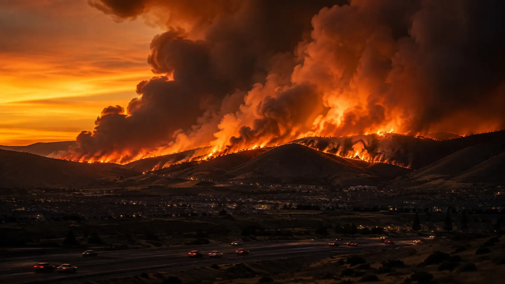
Evacuation status shifted several times through Wednesday as the fire grew. A mandatory evacuation order was issued around 12:54 p.m. for areas west of I-80 to Boca Road, then downgraded to a warning by 1:34 p.m. as the immediate threat eased. As the fire continued to spread through the afternoon and evening, additional warnings were issued for western Washoe County, Nevada — from Riverdale to Snowflower Mountain — and for areas on the California side north and west of Boca Reservoir. By 6:30 p.m., the Washoe County warnings had been downgraded from "get set" (yellow) to "get ready" (green). As of Thursday morning, the active zone status is:
- ✓Evacuation Order (immediate): Nevada County zone NCO-E379-A.
- ✓Evacuation Warnings: Nevada County zones NCO-E379-B, NCO-E105, NCO-E106; Sierra County zones SIE-E099 and SIE-E100-B; and areas of western Washoe County, Nevada, south of Mogul.
- ✓Live zone maps: Genasys Protect (protect.genasys.com) and PerimeterMap.com both show real-time, address-level evacuation status.
- ✓Evacuee lodging: J Resort in Reno has offered a discounted $49/night rate with no resort fees for those displaced by the fire.
I-80 Closure and Travel Impact
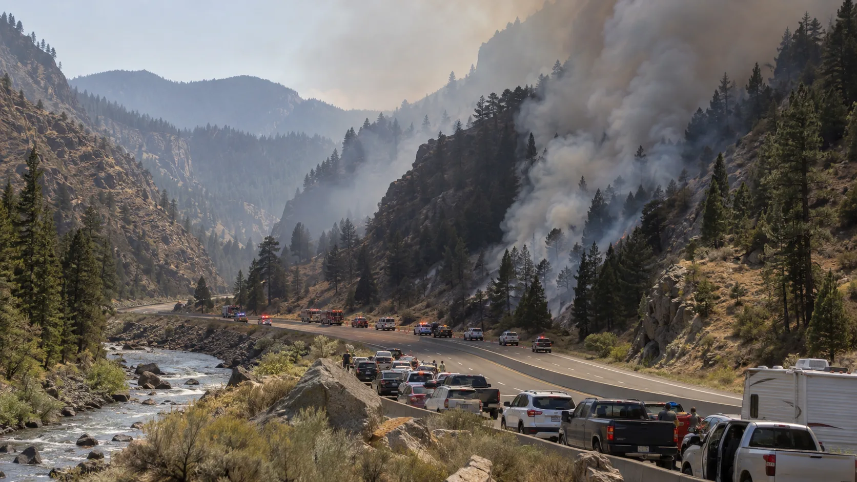
Westbound Interstate 80 closed at the Nevada state line within roughly an hour of the fire's start and remains closed, with the closed section running from around Exit 4 near Gold Ranch to the Boomtown area on the Nevada side, through the fire zone toward Truckee. The Nevada Department of Transportation said Wednesday it expected the closure to continue overnight, and Caltrans has continued to urge drivers to avoid the area entirely and expect significant delays. There is currently no estimated time for the highway to reopen. Drivers heading between Reno and Sacramento via I-80 should plan for alternate routes or significant travel delays until CAL FIRE and CHP clear the roadway.
Power Outages and Air Quality
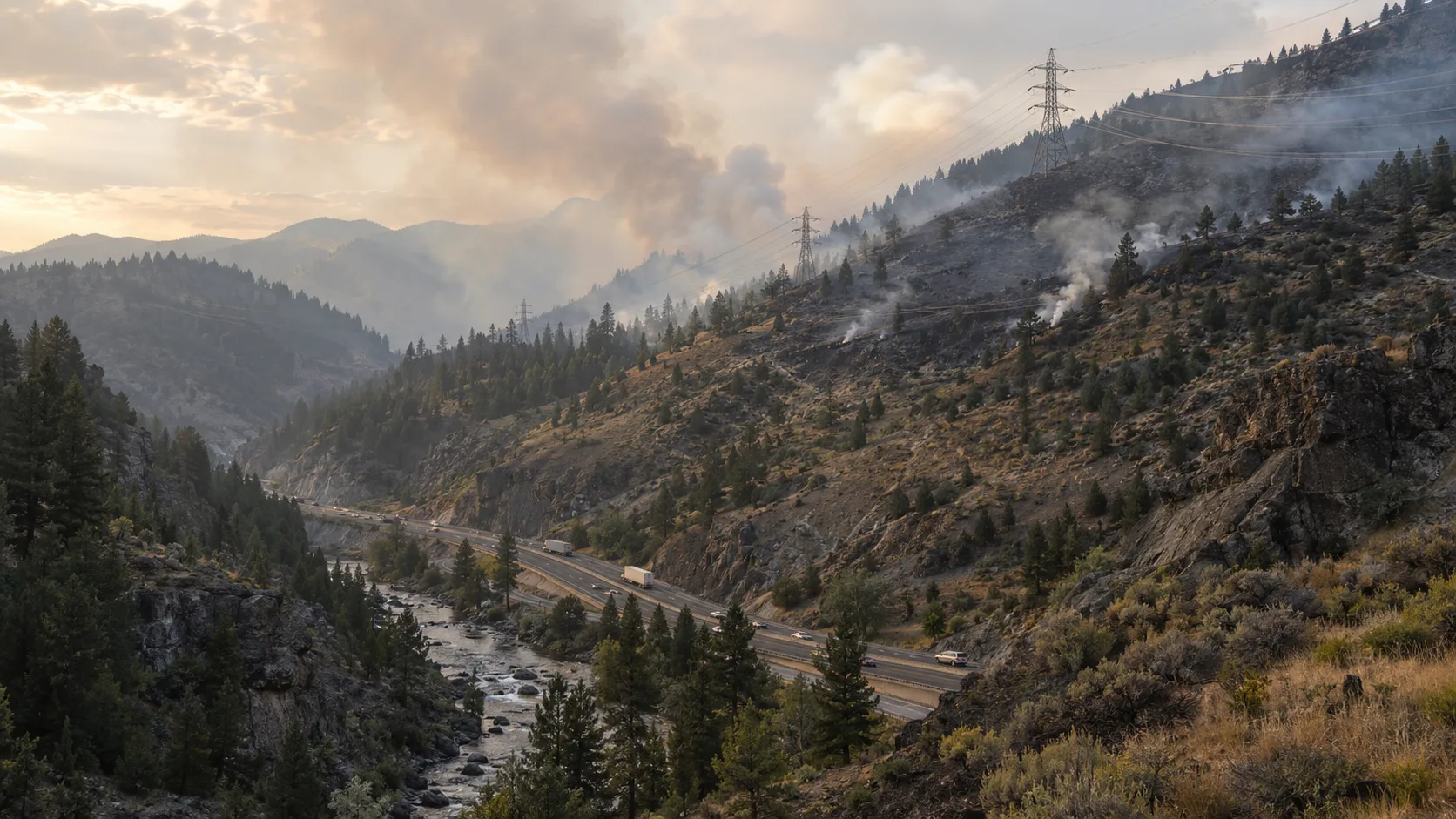
NV Energy reports about 131 customers without power due to the fire, with no estimated restoration time yet. Local power lines in the Floriston area have also been de-energized as a safety precaution for firefighters. Tahoe Donner Public Utility District, which serves the Truckee area, says it is monitoring the fire because it could threaten NV Energy transmission lines that carry power in from Verdi; if NV Energy opts for an emergency shutoff of that line, TDPUD customers could lose power without advance notice, and the utility has asked customers to prepare for a possible outage.
Northern Nevada Public Health has issued an air quality advisory for the Reno-Sparks area due to smoke from regional wildfires, including the Floriston Fire and the separate Dome Fire. The AQI is expected to reach Unhealthy for Sensitive Groups to Unhealthy levels for fine particulate matter (PM2.5) in the Verdi and North Valleys areas, with Eastern Sparks and Spanish Springs seeing more moderate impact. Anyone with respiratory conditions, older adults, and children in the affected areas should limit prolonged outdoor exertion until the advisory lifts.
What Happens Next
With the fire held within its overnight perimeter, the Sacramento Regional Incident Management Team has taken over command from the initial local unified command. Fire officials say down-canyon winds are forecast to continue through Friday, and crews are prioritizing the fire's north side — the flank pushing toward Reno — while continuing to hold the southern dozer line and mop up hot spots elsewhere on the perimeter. Crews are also working two spot fires north of the main perimeter.
Where to Get Live Updates
- CAL FIRE Nevada-Yuba-Placer Unit (fire.ca.gov/incidents) — the official incident page for size, containment, and resource updates.
- Genasys Protect / PerimeterMap.com — for address-level evacuation zone status.
- Caltrans QuickMap and NV Roads — for current I-80 closure and reopening status.
- Watch Duty — for live, human-verified alerts if you're in the area. See our full breakdown of how Watch Duty works.
- Northern Nevada Public Health / AirNow.gov — for current air quality readings in the Reno-Sparks area.
This is a developing story. We'll update this article as CAL FIRE, Nevada County, Sierra County, and Washoe County officials release further information on containment, evacuations, and the I-80 closure.




Comments 0
No comments yet. Be the first to share your thoughts!
Leave a Comment