
Update, Tuesday afternoon: The Bug Fire and the Fred Mountain Fire — now tracked as a single merged complex — have grown to an estimated 57,363 acres, still at roughly 4% containment. Investigators have determined the Bug Fire was human-caused, though the exact circumstances of how it started remain under active investigation. Authorities have confirmed the fire has destroyed multiple homes, with a formal damage assessment team still working to determine the exact number of structures lost; two injuries have also been reported — one firefighter and one civilian — both of whom were treated and released. The Nevada National Guard and Military Police have deployed to support the response alongside federal crews and mutual-aid resources from Las Vegas and California. On a more positive note, nearly 3,000 residents previously evacuated have been cleared to return home as containment lines hold along parts of the perimeter. A new evacuation warning was issued Tuesday around 11 a.m. for portions of Spanish Springs, south of Eagle Canyon Drive to the intersection of Pyramid Way and La Posada Drive, and evacuation orders for the Winnemucca Ranch Road area were updated Tuesday afternoon to extend up to State Routes 445 and 446; residents there are being told to evacuate south via Pyramid Highway, as SR 446 is currently closed in both directions at the junction due to the separate Stallion Fire (see below).
Weekend-Monday recap: The fire ignited Saturday afternoon, August 8, near Bordertown along U.S. 395 on the Nevada-California border and exploded overnight to more than 6,500 acres by Sunday morning, prompting roughly 3,800 households to evacuate. Crews briefly reached 20% containment Sunday afternoon and lifted Cold Springs-area orders, but the fire made another major run Sunday evening, growing past 11,400 acres by 9 p.m. and reaching roughly 15,000 acres by Monday morning, prompting Hungry Valley evacuations and the closure of eight schools for their first day of the year. By Tuesday morning the Bug Fire had merged with the adjacent Fred Mountain Fire into a single 44,303.9-acre complex before growing further to 57,363 acres by Tuesday afternoon (see update above).
A fast-moving wildfire crisis has forced thousands of Washoe County, Nevada, residents from their homes since the weekend. The Bug Fire and Fred Mountain Fire have now grown into each other, forming a single blaze of more than 57,000 acres confirmed as human-caused, while a separate fire near Pyramid Lake has exploded to over 20,000 acres — pushing the region's state of emergency, school closures, and evacuation zones further than at any point since the fires began, even as thousands of earlier evacuees have started returning home.
How the Bug Fire Started and Grew
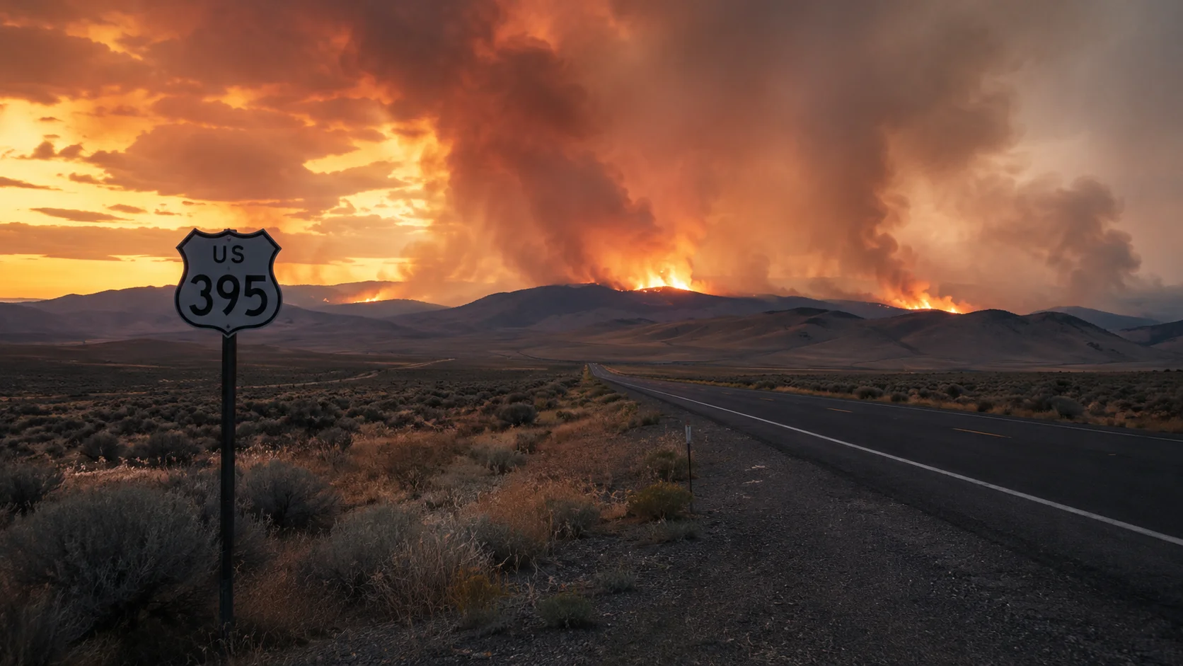
The Bug Fire was first reported around 4:08 p.m. Saturday, August 8, north of Bordertown near the agricultural inspection station along U.S. 395, on the Nevada-California border in Lassen County, California. What began as a modest blaze of roughly 50 acres exploded overnight, jumping the state line into Washoe County, Nevada, and reaching approximately 800 acres within hours, then 4,100 acres by Saturday evening, and more than 6,500 acres by Sunday morning. Crews briefly gained ground Sunday afternoon, reaching 20% containment and lifting evacuation orders in Cold Springs — but the fire made another significant run Sunday evening, growing to 7,500 acres and then to more than 11,400 acres by 9 p.m., with containment falling back to 3%. The fire continued to grow through Monday, reaching roughly 15,000 acres by Monday morning and 16,680 acres by Monday night, still at 3% containment. The fire has burned across Washoe, Lassen, and Sierra counties. The Nevada Bureau of Land Management says the fire is spreading rapidly through critically dry fuels under hot, dry conditions, with poor overnight humidity recovery and strong afternoon winds continuing to support significant fire movement. Truckee Meadows Fire Protection District Chief Rick Edwards has described the fire as moving extremely quickly and has urged residents in evacuation zones to leave without delay. By Tuesday morning, the Bug Fire's perimeter had burned into the adjacent Fred Mountain Fire, and NIFC began tracking the two as a single complex — first at 44,303.9 acres, then growing to 57,363 acres by Tuesday afternoon, still at roughly 4% containment.
The response has involved multiple agencies, including Truckee Meadows Fire Protection District, CAL FIRE, the Carson City Fire Department, the Nevada Division of Forestry, and the U.S. Forest Service, with the Nevada National Guard and Military Police now also deployed to support ground operations alongside mutual-aid crews from Las Vegas and California. Crews are focused on building containment lines along the fire's northern, eastern, and southern flanks, while engine crews move through threatened neighborhoods to assess structures and clear defensible space where conditions allow. Authorities have confirmed that multiple homes have been destroyed, though a formal damage assessment team is still working to determine the exact number of structures lost. Two injuries have been reported so far — one firefighter and one civilian — both of whom were treated and have since been released. Investigators have determined the Bug Fire was human-caused; the exact circumstances of how it started remain under active investigation.
State of Emergency and Federal Aid
Nevada Governor Joe Lombardo declared a state of emergency Monday covering the areas of Washoe County and the Reno-Sparks Indian Colony affected by the Bug Fire and Fred Mountain Fire, saying "thousands of Nevadans have been forced from their homes as these fires continue to threaten communities across Washoe County and the Reno-Sparks Indian Colony." The declaration freed up additional state resources, and the Nevada National Guard and Military Police have since deployed to the fire zone to assist ground crews. Separately, FEMA approved a Fire Management Assistance Grant on Nevada's behalf, covering up to 75% of eligible firefighting costs such as field camps, equipment, supplies, and crew mobilization; Nevada had requested the grant on August 8, when the fire was still around 3,000 acres and threatening roughly 1,800 homes in and around Cold Springs and Silver Knolls.
Evacuations: Where Things Stand
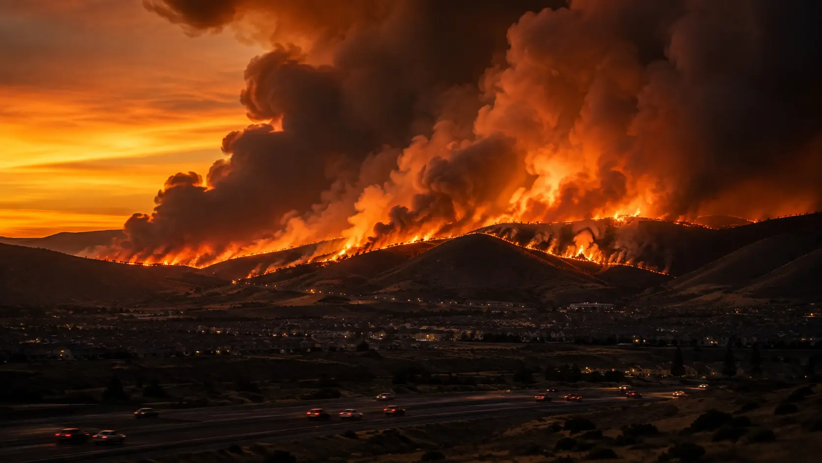
Evacuation zones have shifted repeatedly and expanded further Tuesday as the fire has grown. At the weekend's peak, orders and warnings covered roughly 3,800 households across Cold Springs, Canyon Hills, White Lake, Silver Knolls, and areas north of Cold Springs, with additional warnings reaching parts of Reno near Matterhorn Boulevard and Argonaught Way, plus portions of Lassen and Sierra counties. By Monday evening, Governor Lombardo said more than 6,000 people had been evacuated, with thousands more under evacuation warnings. The Washoe County Sheriff's Office added new mandatory evacuation orders Monday evening for the area of Winnemucca Ranch Road, and those orders were updated again Tuesday afternoon to extend up to State Routes 445 and 446, with evacuees directed to leave via southbound Pyramid Highway. A new evacuation warning was also issued Tuesday around 11 a.m. for portions of Spanish Springs, south of Eagle Canyon Drive to the intersection of Pyramid Way and La Posada Drive. On a more positive note, nearly 3,000 residents evacuated earlier in the fire have been cleared to return home as containment has held in some areas. The Reno-Sparks Indian Colony has also advised Tribal residents in Hungry Valley to evacuate. Officials continue to urge residents to monitor the county's live Perimeter Map and the Watch Duty app rather than relying on secondhand information, since zones can still change quickly — as shown by the Stallion Fire's overnight explosion near Pyramid Lake, which has added its own mandatory and warning zones east of the Bug/Fred Mountain complex (see below).
- ✓General evacuation center: Evelyn Mount Northeast Community Center, 1301 Valley Road, Reno.
- ✓Reno-Sparks Indian Colony evacuees: RSIC Reno Gym, 34 Reservation Road — assistance available at 775-842-2902 or 775-895-9835.
- ✓Small animals: Washoe County Regional Animal Services shelter, 2825 Longley Lane, Reno.
- ✓Large animals/livestock: Reno-Sparks Livestock Events Center, 1350 N. Wells Avenue, Reno — enter through Gate 2; space and resources are limited, so residents are encouraged to self-evacuate animals to family or friends when possible. Churchill County is also offering horse stalls for evacuees.
- ✓Discounted evacuee lodging: Grand Sierra Resort ($59/night, resort fees waived), Peppermill Reno (rates through Aug. 12), Eldorado, Circus Circus, and Silver Legacy are offering reduced rates for evacuees and fire crews with proof of residency.
- ✓School closures: Nine campuses are closed Tuesday, Aug. 11 — Desert Heights, Silver Lake, Lemmon Valley, Alyce Taylor, Jesse Hall, and Natchez elementary schools, Spanish Springs Elementary, Shaw Middle School, and Spanish Springs High School. Natchez Elementary was added to the closure list Tuesday morning. All other district schools remain open; buses will not operate in red or yellow evacuation zones. Any overnight changes will be communicated to families by 5:30 a.m.
- ✓Stallion Fire evacuees (Pyramid Lake area): Shelters at the Wadsworth Community Center and the Food Distribution Center; large animals can go to Big Bend Rodeo Grounds or the Livestock Events Center.
- ✓Non-emergency info: Officials ask residents to avoid tying up 9-1-1 for non-emergencies and instead call Washoe311 by dialing 3-1-1.
Road Closures
U.S. 395 has reopened to full traffic near the Nevada-California state line, and the White Lake Parkway and Village Parkway offramps that were closed for a time due to fire activity have also reopened. Road status in the fire zone has changed repeatedly: as of the latest update, SR 445 is open, but SR 446 is closed in both directions at the junction because of the separate Stallion Fire. Winnemucca Ranch Road and Range Land Road are restricted to residents only at SR 445, and evacuees under the updated Winnemucca Ranch Road order are being directed to leave via southbound Pyramid Highway rather than SR 446. Numerous other road closures remain in place around the Cold Springs and Red Rock areas as the fire continues to expand. Drivers are urged to check current highway conditions and the Perimeter Map before heading toward the area, as closures are changing by the hour.
Two Fires Have Merged — and a Third Is Exploding Nearby
The Fred Mountain Fire, which had been burning separately northeast of the Bug Fire near Red Rock and grew to more than 3,400 acres by Monday night, has since burned into the Bug Fire's perimeter. Fire mapping agencies are now tracking the two as a single complex — 44,303.9 acres as of Tuesday morning, growing to 57,363 acres by Tuesday afternoon — with power shut off in parts of the area to prevent additional fire starts and protect crews. Washoe County Sheriff Darin Balaam has asked residents to stay alert to changing conditions and to watch for emergency vehicles and personnel as crews continue working the combined fire.
A third, unrelated blaze — the Stallion Fire, burning east of the Bug/Fred Mountain complex in the area of Stallion Drive and Rodero Road, south of Pyramid Lake — grew from about 1,000 acres Monday to more than 20,000 acres by Tuesday morning and remains 0% contained. New evacuation warnings cover areas west of the town of Nixon, stretching from Winnemucca Ranch Road east to Black Mountain and south to Red White and Blue Mountain, while a mandatory evacuation order is in effect for the area between Moses Rock and Monte Cristo Drive. The Pyramid Lake Paiute Tribe has closed the lake to boats and other watercraft so that firefighting aircraft can use it to draw water for the response. SR 446 remains closed in both directions at the junction due to this fire's activity.
Air quality: Northern Nevada Public Health said it is monitoring air quality in the Reno-Sparks area, which has remained in the "good" to "moderate" range for most of Washoe County, though areas closest to and downwind of the fire may see AQI readings reach the "Unhealthy for Sensitive Groups" range or worse at times. Haze and patchy smoke from the Bug, Fred Mountain, and Stallion fires continue to degrade visibility and air quality regionally. Residents can track real-time air quality through AirNow.gov, including its Fire and Smoke Map.
High heat and gusty west-southwest winds of 10–20 mph with stronger afternoon gusts have continued to challenge containment efforts across all three fires into Tuesday, though the National Weather Service in Reno is forecasting cooler temperatures, higher humidity, and a chance of showers and isolated thunderstorms starting Tuesday night through Thursday, which could offer crews some relief. Fire officials continue to warn that exceptionally dry brush and grass are acting as tinder across the region and are urging the public to take extreme caution with any outdoor activity that could produce a spark. This is a developing story; we'll update this article as Washoe County officials, Truckee Meadows Fire Protection District, CAL FIRE, and the Pyramid Lake Paiute Tribe release further information on containment, evacuations, structure losses, and the fire's exact cause.




Comments 0
No comments yet. Be the first to share your thoughts!
Leave a Comment