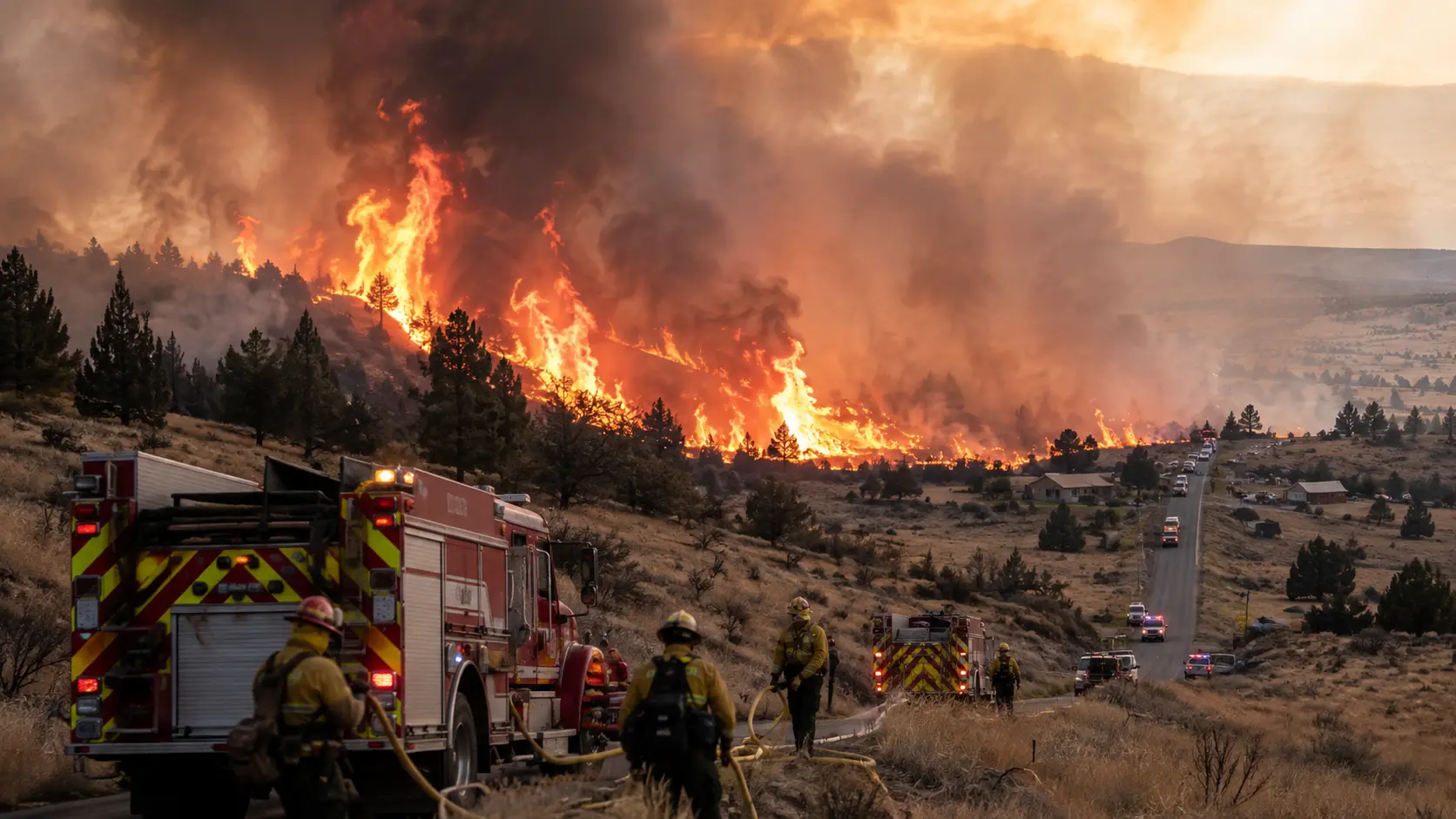

Current status: As of August 15, the Rowe Creek Complex has burned an estimated 373,784 acres across Wheeler, Wasco, Crook, and Jefferson counties in central Oregon, making it one of the largest wildfires of the 2026 season. Roughly 59 miles of fireline remain uncontrolled, though fire behavior has decreased significantly in recent days. Wheeler and Jefferson counties reduced some evacuation levels this week as containment lines have held, and structural task forces are now working block by block through the Mill Creek area, methodically searching properties for buried embers and hot spots — a process crews call "gridding" — as part of the final push before homes are reopened to residents. A new lightning-caused start north of Camel Hump, named the Rosenbaum Fire, grew to about 200 acres on August 14 and is being managed with resources pulled from the main complex. Command of the fire is transitioning again this weekend, from Southwest Complex Incident Management Team 2 to the Oregon Department of Forestry's Complex Incident Management Team 2 — the fire's fifth command transition since it started a month ago.
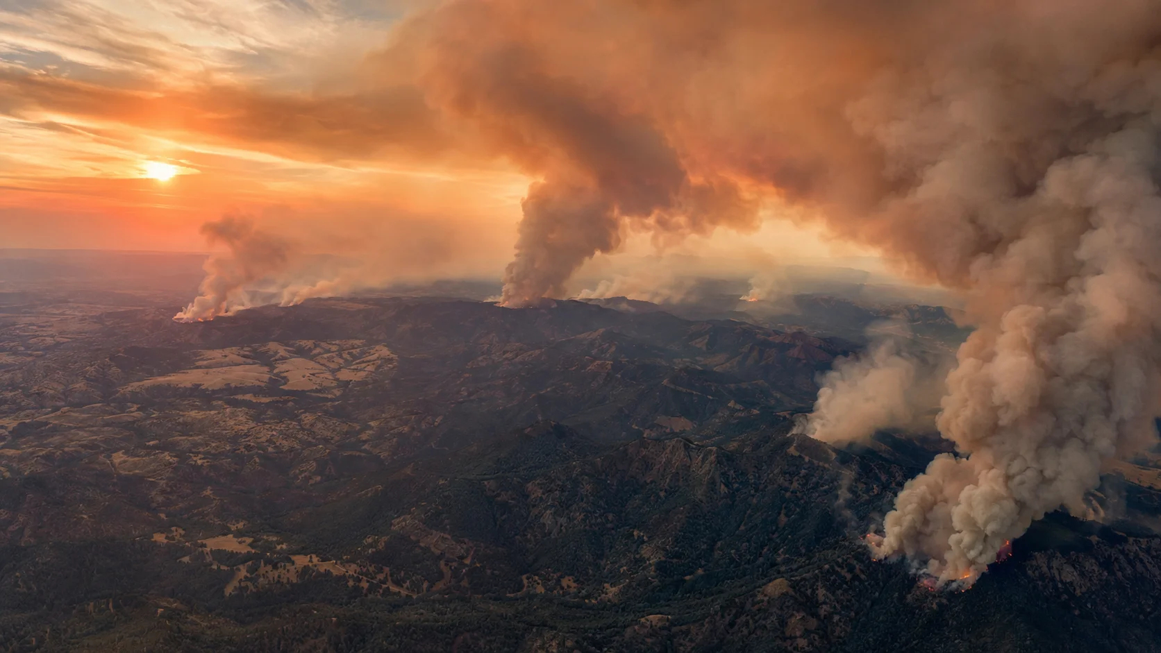
Most of the country's attention this August has been on flash flooding in the Ohio Valley and Indiana. But in the high desert of central Oregon, one of the year's largest wildfires has been quietly burning for a month, growing from a cluster of lightning strikes into a complex covering nearly 374,000 acres — an area larger than the city of Los Angeles. The Rowe Creek Complex has drawn thousands of personnel, triggered a rare "Particularly Dangerous Situation" Red Flag Warning, and forced repeated evacuations across four counties, yet it has received comparatively little national coverage. Here's how it started, how it grew, and where things stand.
How It Started: A Lightning Storm Over Twickenham
The Rowe Creek Complex traces back to a lightning storm that passed over the Twickenham area of Wheeler County on July 15 and 16, igniting numerous separate fires across rugged, steep terrain roughly 10 miles south of the town of Fossil. The four primary original fires — named Crosswhite, Camel Hump, Red Rock, and Twickenham — quickly grew and merged, and within weeks a dozen individual wildfires burning across Wheeler, Wasco, and Crook counties had been consolidated under unified management as the Rowe Creek Complex. Managing agencies have included the Bureau of Land Management, the Oregon Department of Forestry, the Oregon State Fire Marshal, the Wheeler County Sheriff's Office, local Rural Fire Protection Associations, and the U.S. Forest Service.
Steep, inaccessible terrain hampered direct suppression from the outset, forcing crews to scout for safe entry points before they could even begin building bulldozer line. Regional firefighting resources were also heavily strained in the fire's early days, competing with the sheer number of other active wildfires burning across Oregon and Washington at the same time.
A Month of Growth
The complex grew steadily through late July and early August as crews worked to establish containment lines across difficult ground. A rare "Particularly Dangerous Situation" Red Flag Warning — a designation the National Weather Service reserves for the most extreme fire-weather conditions — was issued for most of eastern Oregon and Washington in early August, testing newly built containment lines as fire activity increased across the interior of the burn, including tree torching. Lines on the west end of the complex mostly held, though fire jumped established containment near Tompkins Pass, requiring a quick response from crews already stretched across the incident.
| Date | Acreage | Notes |
|---|---|---|
| Jul 15-16 | Ignition | Lightning storm ignites a dozen fires near Twickenham, Wheeler County |
| Jul 24 | 192,681 acres | 27% contained; Box Springs Fire merges with Crosswhite |
| Aug 2 | 313,439 acres | 55% contained; Particularly Dangerous Situation Red Flag Warning tests lines |
| Aug 11 | ~1,144 personnel | Crews work spot fires and slop-overs near Ochoco Ranger Station Road |
| Aug 14 | — | New lightning-caused Rosenbaum Fire starts near Camel Hump, grows to ~200 acres |
| Aug 15 | 373,784 acres | ~59 miles of uncontrolled line remain; evacuation levels reduced in parts of Wheeler and Jefferson counties |
At its peak resourcing in late July, the incident had 73 crews, 19 dozers, 113 engines, seven skidgines, and more than 2,000 personnel assigned. Command has changed hands repeatedly as the incident has evolved: Central Oregon Type 3 Team took the fire on July 16; Northwest Complex Incident Management Team 2, in unified command with the Oregon State Fire Marshal's Green Team, assumed control on July 18; Southwest Complex Incident Management Team 2 and the Fire Marshal's Blue Team took over on August 2; and the Oregon Department of Forestry's Complex Incident Management Team 2 is set to assume command this weekend in another planned transition, continuing the operational tempo without interruption.
Evacuations and Land Closures
The Wheeler County Sheriff's Office issued Level 1, 2, and 3 evacuation notices for communities near the complex as the fires grew with 0% containment in their earliest days, and Wasco, Crook, and Jefferson counties followed with their own evacuation zones as the fire spread across county lines. A Red Cross shelter was opened at East Side Church in Prineville for displaced residents. The Bureau of Land Management closed all BLM-administered land along both sides of the John Day River, from Service Creek north to the Columbia River, and the National Park Service closed the Clarno and Painted Hills units of the John Day Fossil Beds National Monument to all entry. A Temporary Flight Restriction has remained in place over the fire area for the duration of the incident, and officials have repeatedly warned that unauthorized drone flights can force a suspension of aerial firefighting operations.
As containment has improved through August, Wheeler and Jefferson counties have begun reducing evacuation levels in areas where structural task forces have completed protective work, though officials continue to stress that evacuation statuses, closures, and air quality can change quickly and residents should rely on official alert systems — Wheeler County's oralert.gov signup, and county-specific mapping dashboards for Crook, Jefferson, and Wasco counties — rather than secondhand reports.
- ✓Official incident information: InciWeb — inciweb.wildfire.gov/incident-information/orprd-rowe-creek-complex.
- ✓Daily updates: centraloregonfire.org, posted each morning by the current incident management team.
- ✓Wheeler County evacuations: Wheeler County Sheriff's Office Facebook page and interactive evacuation map at arcg.is/1aDrHm4; alert signup at oralert.gov.
- ✓Other county maps: Crook County — protect.genasys.com; Wasco County — perimetermap.com/wascocounty-or.
- ✓Air quality: fire.airnow.gov — conditions have swung from Good to Hazardous and can change rapidly.
- ✓Incident info line: 541-800-1280, daily 8 a.m.–8 p.m.
Structure Protection: What "Gridding" Actually Means
As the complex has moved from active suppression toward mop-up in its more contained sections, Oregon State Fire Marshal structural task forces have shifted focus to protecting individual homes along Rowe Creek Road and near the communities of Fossil and Twickenham. At the height of the effort, five structural task forces were assigned to the incident. Their work now centers on what crews call "gridding" — a methodical, on-foot search of properties for small embers and heat sources hidden on and under the soil, typically covering the 200 feet immediately surrounding a structure. Firefighters have been digging out smoldering stumps and logs and cooling residual heat near homes, work that directly enables evacuation levels to be lowered and residents to return, since a single missed hot spot near a structure can reignite days or weeks after the main fire front has passed.
Why this fire matters beyond Oregon: At nearly 374,000 acres, the Rowe Creek Complex is a reminder that headline wildfire coverage tends to follow population centers, not fire size. Rural, sparsely populated complexes like this one can burn for a month, consume an area larger than many major U.S. cities, and still receive a fraction of the national attention given to smaller fires closer to metro areas — even as they consume the same firefighting resources, personnel, and mutual-aid capacity that other incidents around the country are competing for.
What's Next
With roughly 59 miles of fireline still uncontrolled as of mid-August, crews are focused on widening containment lines connecting Mill Creek and U.S. Highway 26, completing gridding searches around structures on Ranger Station Road, and monitoring for renewed fire activity as the incoming command team takes over. The Oregon State Fire Marshal has said it will begin reviewing its remaining resources for reassignment to other fires around the state or demobilization back to home agencies as structure protection work wraps up — a sign that, barring another lightning event like the one that sparked the Rosenbaum Fire on August 14, the complex is entering its final phase. Residents and anyone traveling through central Oregon should continue to check official evacuation maps and closure notices directly, since conditions in and around the burn area can still change quickly.
This is a developing story; we'll update it as the incoming Oregon Department of Forestry command team, the Wheeler County Sheriff's Office, and other agencies release further information on containment progress, evacuation status, and the newly reported Rosenbaum Fire.



Comments 0
No comments yet. Be the first to share your thoughts!
Leave a Comment