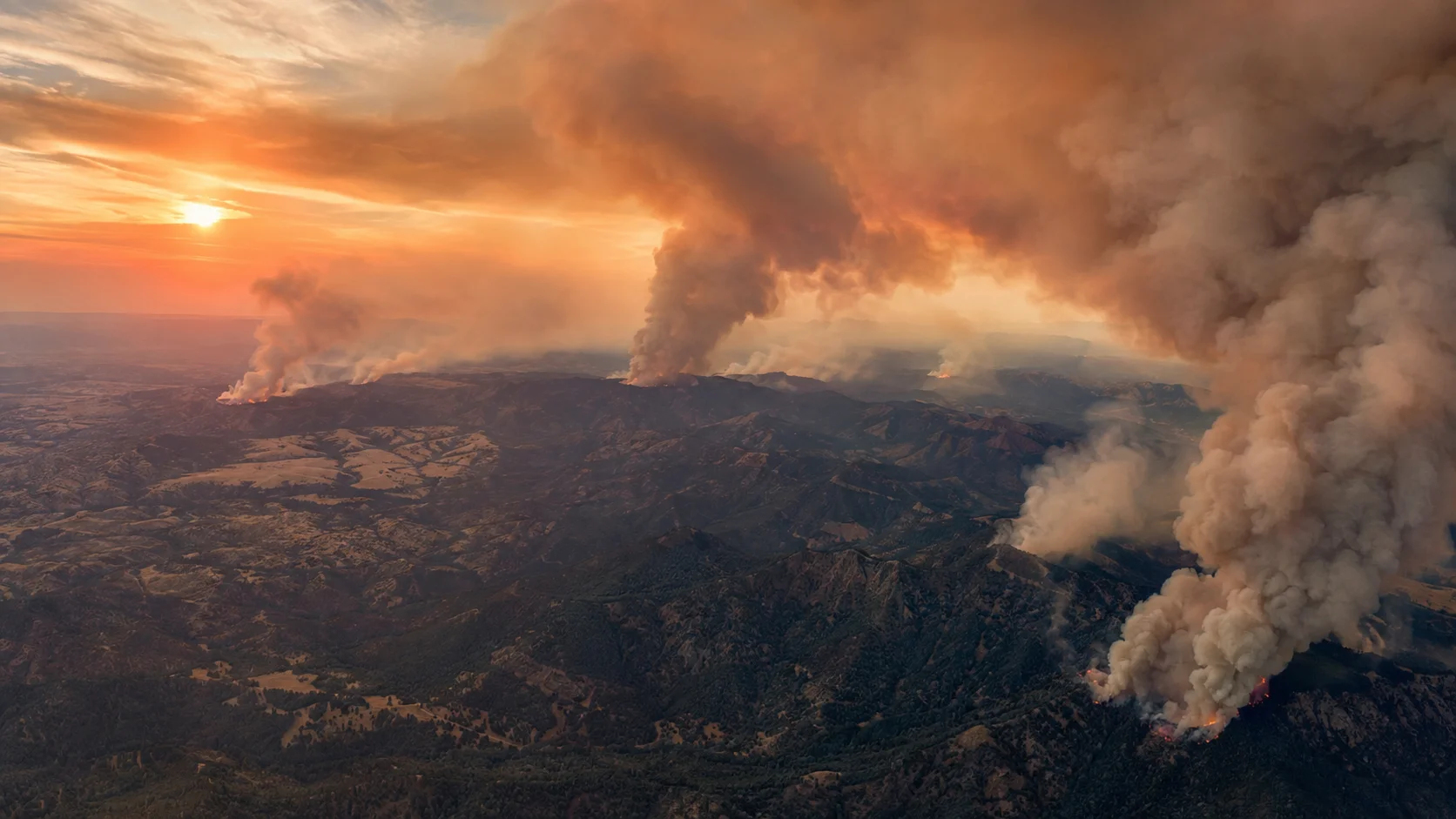

September 8 update: The United States has recorded 53,233 wildfires and 8,303,398 acres burned so far in 2026, according to the National Interagency Coordination Center's latest national statistics, updated September 7. Firefighters are working to contain 65 large fires, with 15,855 personnel assigned nationwide. The national wildland fire Preparedness Level is 4.
The 2026 season has moved far beyond the totals reported when this article was first published in early August. The year-to-date acreage is now more than 3.17 million acres above the final 2025 total and is approaching the 8,924,884 acres burned during all of 2024. The season is severe, but it should not yet be called the worst on record: NIFC's historical series includes several years above 10 million acres.
In this article:
How 2026 Compares to Recent Fire Seasons
| Year | Wildfires | Acres burned |
|---|---|---|
| 2020 | 58,950 | 10,122,336 |
| 2021 | 58,985 | 7,125,643 |
| 2022 | 68,988 | 7,577,183 |
| 2023 | 56,580 | 2,693,910 |
| 2024 | 64,897 | 8,924,884 |
| 2025 | 77,850 | 5,131,474 |
| 2026 YTD | 53,233 | 8,303,398 |
By September 7, 2026 had already burned about 3.17 million more acres than all of 2025. It has also passed the full-season acreage totals for 2021 and 2022. It remains below 2024's 8.92 million acres and below the 10-million-acre seasons recorded in years including 2015, 2017 and 2020.
The national total accelerated sharply through August. NIFC reported 6,549,122 acres by August 14, 7,510,237 acres by August 20 and 8,262,025 acres by September 1. The latest September 7 figure is 8,303,398 acres.
National Fire Activity Right Now
| Large fires being suppressed | 65 |
| Acres in current large fires | 3,613,251 |
| Personnel assigned | 15,855 |
| New large fires in latest update | 0 |
| National Preparedness Level | 4 of 5 |
NIFC reported 66 new fires nationwide during the previous day, but no new large fires. Sixty-five large fires remained under suppression. Rather than freezing a list of individual incidents that can become outdated within hours, this national snapshot uses the latest NICC totals; incident-specific acreage and containment should be checked through InciWeb and local agency updates.
Preparedness Level 4: National resources are heavily committed. NIFC says mobilization regularly occurs over larger distances and national priorities govern the allocation of shared firefighting resources. PL4 is one step below the highest national level.
Why This Season Got So Bad
Fire officials point to a stack of compounding factors rather than any single cause. A warmer-than-normal winter reduced snowpack across much of the West, leaving less moisture in the soil and vegetation heading into summer. That dry start combined with a summer of repeated heat waves and, in the Pacific Northwest specifically, a series of unusually strong wind events — including the Particularly Dangerous Situation Red Flag Warning that preceded the Spokane fires — created conditions where new ignitions grew explosively rather than staying small and controllable.
Roughly 85% of U.S. wildfires are human-caused, according to federal fire officials, which means prevention — extinguishing campfires completely, checking trailer chains for sparks, following local burn restrictions — remains one of the few levers available to reduce ignitions, even though it does nothing to change the underlying weather and fuel conditions driving this season's severity.
How to Check Fire Risk Near You
- ✓InciWeb (inciweb.wildfire.gov) — the federal government's interactive map of active wildfires, prescribed fires, and Red Flag Warnings nationwide.
- ✓National Interagency Fire Center (NIFC.gov) — daily national fire statistics, maps, and the Incident Management Situation Report used by federal dispatchers.
- ✓Your state's forestry or emergency management department — most states run their own real-time fire and evacuation dashboards more current than national aggregators.
- ✓AirNow.gov — current air quality and smoke impact, useful even far from an active fire perimeter.
- ✓Learn your local evacuation levels now, before a fire threatens your area — see our breakdown of what Level 1, 2, and 3 evacuation orders actually mean.
National acreage, staffing and large-fire counts can change daily. For the national picture, NIFC and NICC remain the primary sources; for an active incident near your community, use InciWeb and current local evacuation alerts.
Data note: National figures in this update are based on NIFC/NICC data displayed September 8, 2026. The latest national statistics were updated September 7 at 10:30 MDT.
Oklahoma update: Recent wildfire activity around Gracemont has created confusion between multiple incidents and place-name reports. See our Gracemont Fire Oklahoma update for the incident context and connection to the 2690 Fire.



Comments 0
No comments yet. Be the first to share your thoughts!
Leave a Comment