

The short version: The National Weather Service in Reno has issued a Flood Watch for the Greater Reno-Carson City-Minden area, in effect from Wednesday afternoon through Thursday evening, specifically citing the burn scars left by the Bug Fire and the Stallion Fire. Thunderstorms moving through the region could produce heavy rain, mainly during afternoon and evening hours, and the NWS warns that excessive runoff may trigger rock, mud, and debris flows in and near the active fire perimeters, on steep terrain, and in poorly drained urban areas. A separate Areal Flood Watch is also in effect for Mono, Mineral, and Lyon counties over the same window. Rain chances climb through the week — roughly 20% Tuesday, 40% Wednesday, and 60% Thursday — meaning the same storms that could finally slow the fires' spread also carry a real flash-flood and debris-flow risk downstream of the burned ground.
Why Burned Ground Makes Flooding Worse
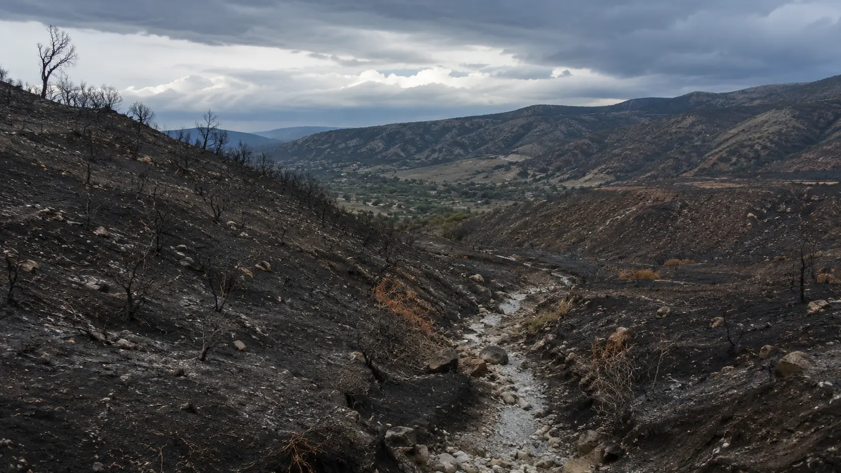
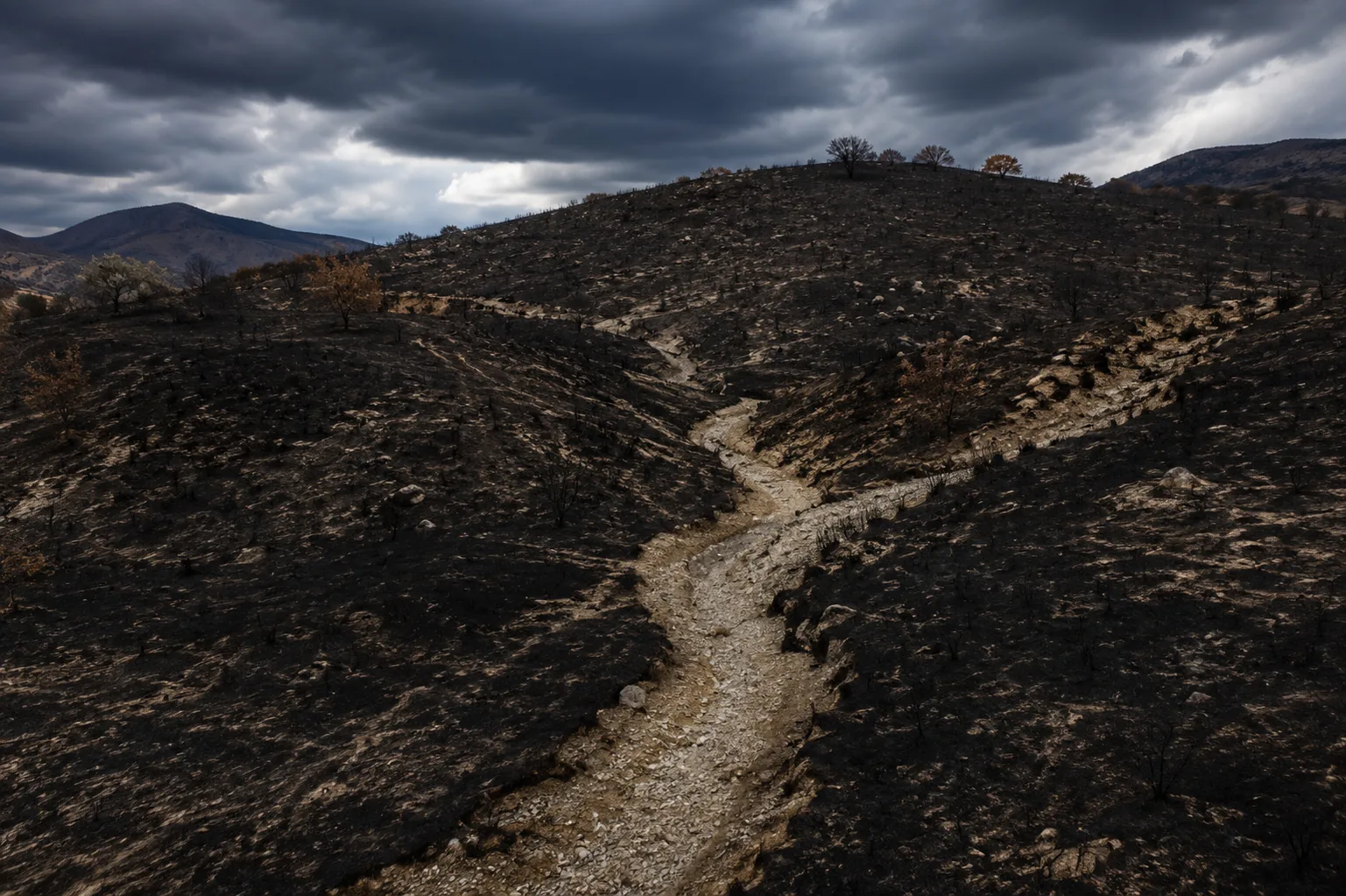
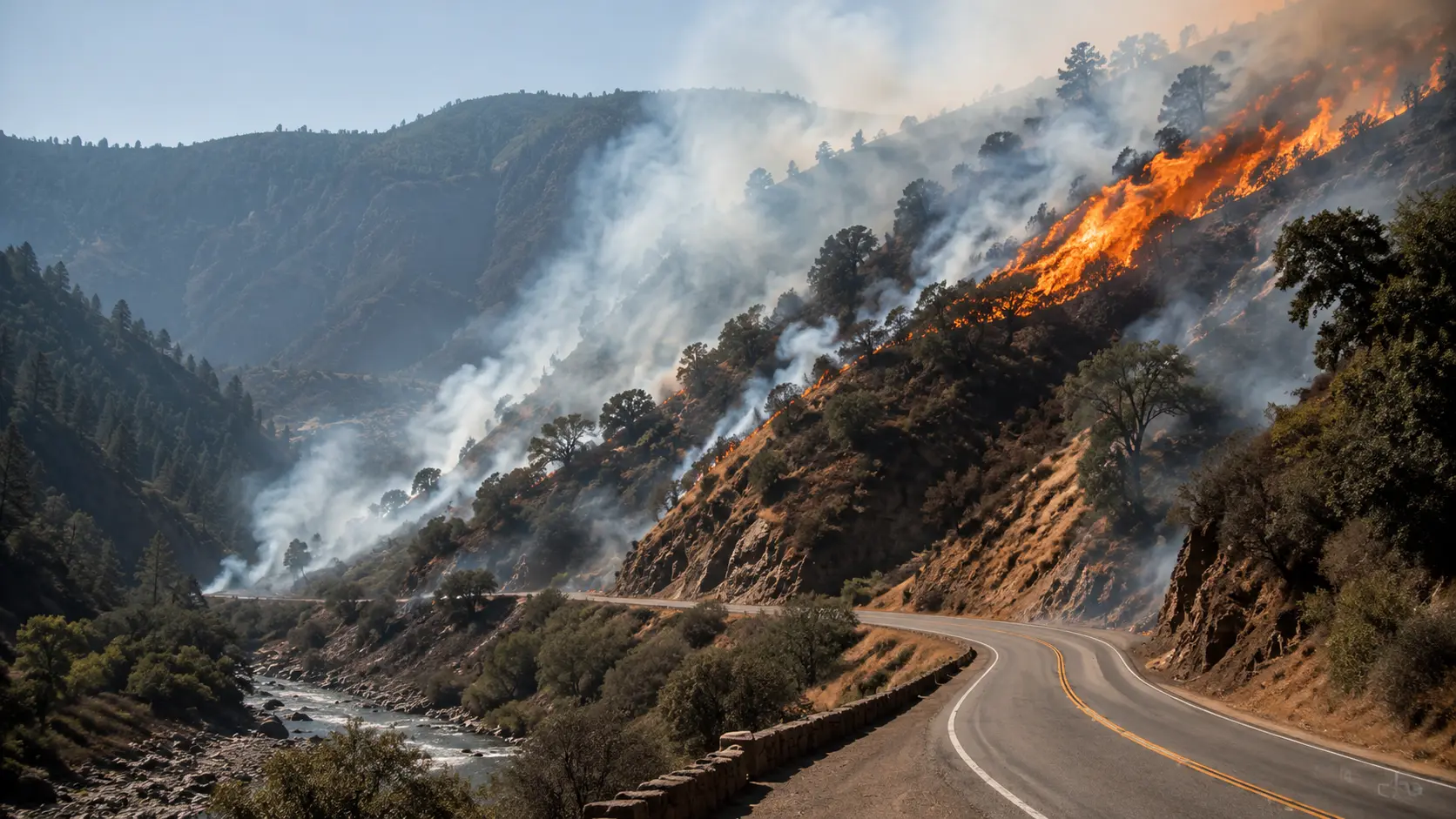
Wildfire doesn't just destroy vegetation — it changes how the ground handles water. Intense heat can bake soil into a water-repellent layer that behaves more like pavement than dirt, so rain that would normally soak in instead runs straight off the surface. That means it takes far less rainfall than usual to trigger a flash flood or a debris flow on and below a recent burn scar. Debris flows themselves are fast-moving, highly destructive landslides — mixtures of mud, rock, boulders, uprooted trees, and sometimes vehicles or structures — capable of moving with little warning once a slope gives way. The general rule fire and weather officials use: if you can look uphill from where you're standing and see burned terrain, you're in a zone of elevated risk during and after heavy rain.
The Fires Behind the Watch
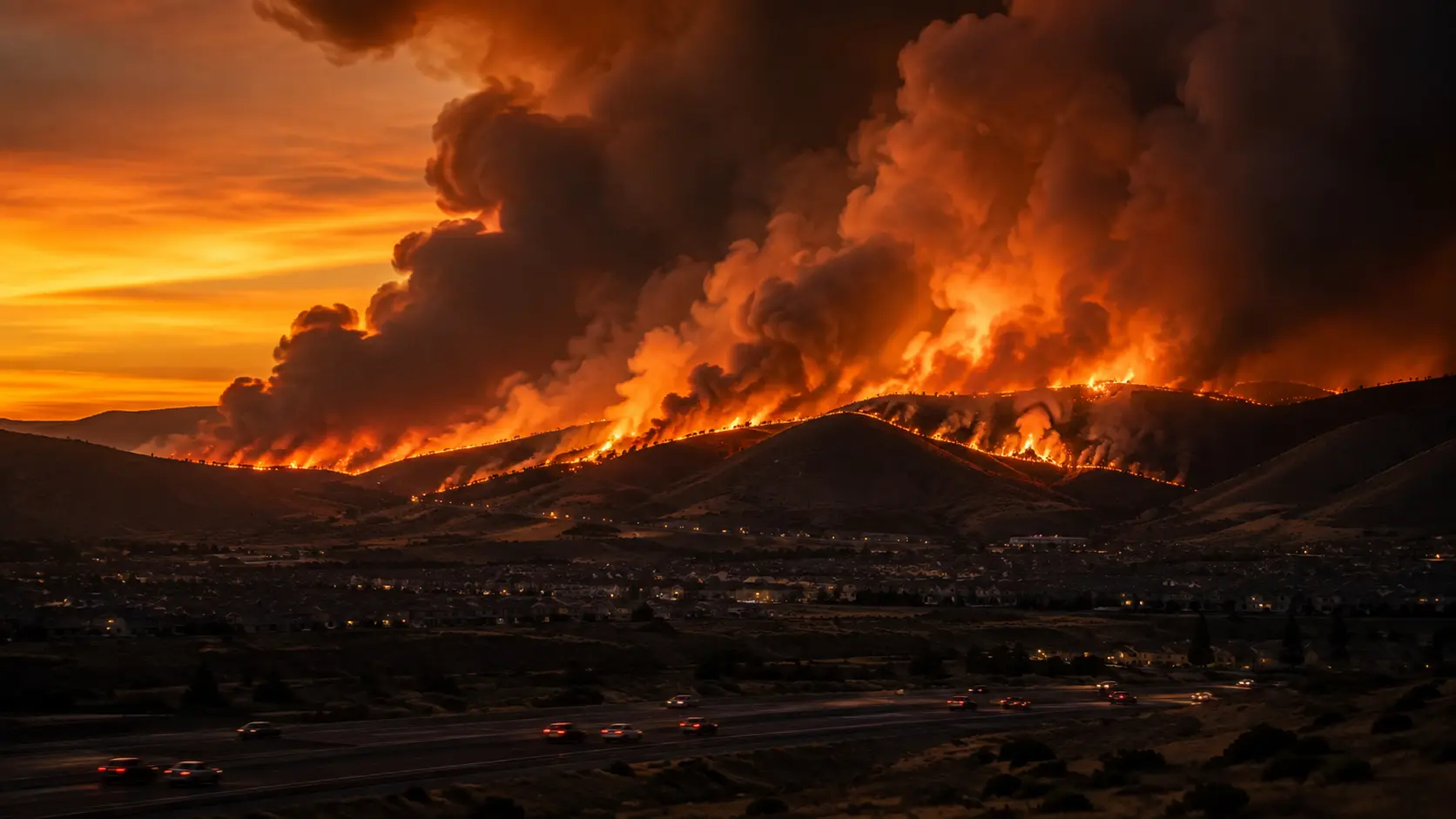
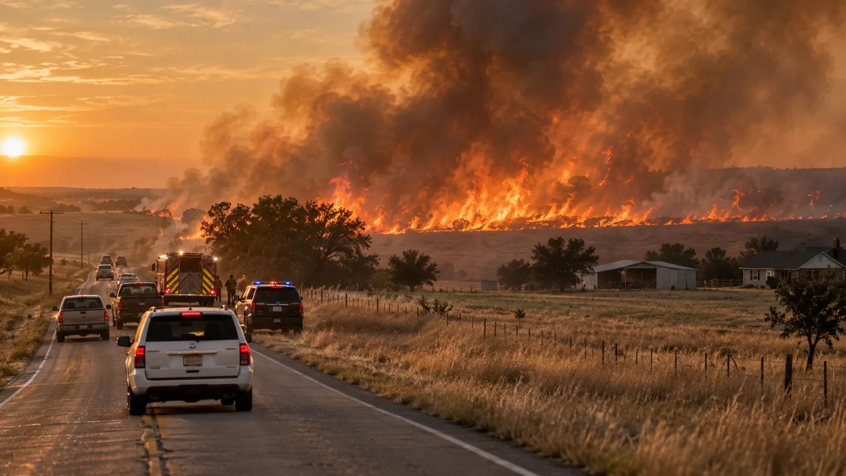
The watch directly names two fires that have scorched the hills north of Reno over the past several days. The Bug Fire, which absorbed the smaller Fred Mountain Fire earlier this week, has burned more than 57,000 acres across Washoe, Lassen, and Sierra counties and remains only partially contained. The Stallion Fire, burning separately near Pyramid Lake, exploded from roughly 1,000 acres to more than 20,000 acres in a single day and was still at 0% containment as crews worked to corral it into older burn scars to help stop its spread. Together, the two fires have left a wide swath of steep, denuded terrain directly above communities including Cold Springs, Silver Knolls, Red Rock, Hungry Valley, and areas near Nixon and Wadsworth — all of which now sit downstream of freshly burned slopes as the region's weather pattern shifts from fire danger to rain.
A Double-Edged Forecast
Meteorologists covering the region describe this week's forecast as a genuine trade-off. Increasing moisture and rain chances through Wednesday and Thursday should help ease the extreme fire danger that has driven the Bug and Stallion fires' rapid growth — but if that rain arrives heavy and slow-moving, as thunderstorms sometimes do, it raises the odds of flash flooding and debris flows in and around the burn scars instead. Forecasters note the setup midweek is a mix of drier and wetter storm cells, with better odds of widespread moisture by Thursday, when Reno itself has roughly a 60% chance of showers and storms. The flooding risk isn't expected to be widespread, but officials say it is realistic in pockets — particularly in steep terrain, near active fire perimeters, and in low-lying or poorly drained parts of town.
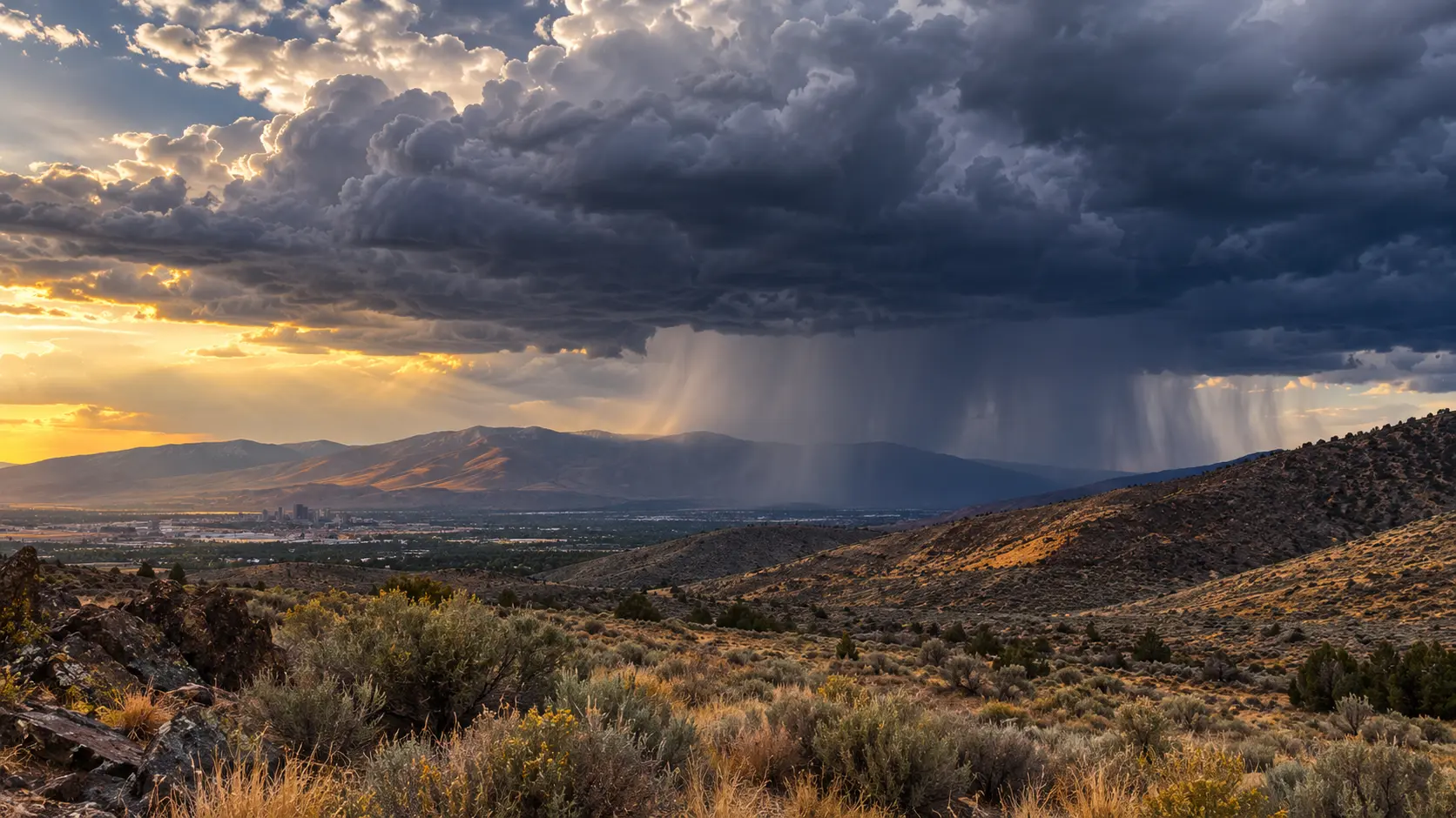
What a Flood Watch means: A Flood Watch means conditions are favorable for flash flooding or debris flows — it is not yet a confirmed, imminent threat. If the National Weather Service upgrades any part of the area to a Flood Warning or Flash Flood Warning, that means flooding is occurring, imminent, or highly likely, and residents in the warned area should act immediately rather than wait to see how conditions develop.
What Residents Near the Burn Scars Should Do
- ✓Know your terrain: If your home or route sits downhill or downstream from a burned area, treat heavy rain as a real hazard, not just an inconvenience.
- ✓Avoid driving through flooded roads: Debris flows and flash floods can move faster than they appear and can carry vehicles off roadways; turn around rather than attempt a crossing.
- ✓Have an evacuation route in mind: Plan a route that avoids known burn-scar drainages and low-lying crossings before a storm arrives, not during one.
- ✓Monitor alerts directly: Follow NWS Reno, Washoe County's Perimeter Map, and the Watch Duty app for updates, and sign up for local emergency notifications rather than relying on secondhand reports.
- ✓Watch for warning signs: A sudden increase in creek or wash flow, rising water carrying more mud or debris than usual, or a rumbling sound from uphill can all precede a debris flow — move to higher ground immediately if you notice any of these.
This is an evolving situation on two fronts at once — active firefighting on the Bug and Stallion fires, and a shifting weather threat building on top of the ground those fires have already burned. We'll continue to update our Bug Fire coverage as the National Weather Service, Washoe County officials, and Truckee Meadows Fire Protection District release further information on containment, flood watch upgrades, and any debris-flow impacts.



Comments 0
No comments yet. Be the first to share your thoughts!
Leave a Comment