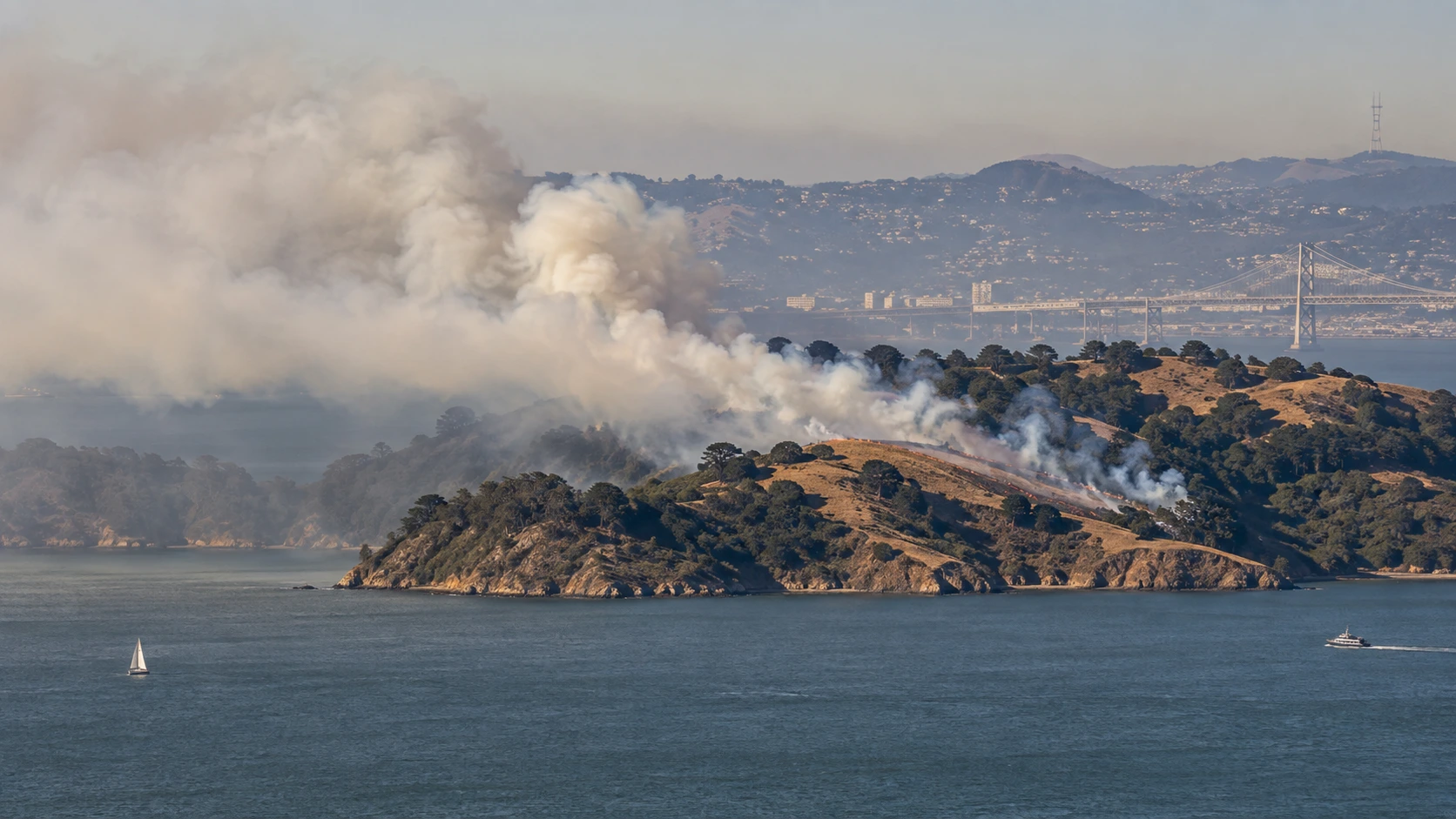

Update for Thursday, September 24: The smoke many people noticed around San Francisco and parts of the Bay Area on Wednesday came from the prescribed burn on Angel Island, not from a new wildfire on the island. Crews treated 85 acres on September 23, then ended ignitions for the week. California State Parks says limited residual smoke may remain visible for the next few days while firefighters continue monitoring the burn area. If you can see smoke coming directly from Angel Island, officials are asking residents not to call 911 solely to report that planned burn.
If the Bay smelled smoky Wednesday afternoon, you were not imagining it. The Angel Island operation put a noticeable plume over the water, and shifting winds carried smoke into San Francisco and other communities around the bay. The useful distinction today is that the active ignition phase has stopped. What people may still see or smell on Thursday is mostly residual smoke from the treated acreage, although anyone who sees a separate plume or receives a local emergency alert should still check official incident information rather than assume every smoke report is connected to Angel Island.
In this article:
What's Actually Happening on Angel Island
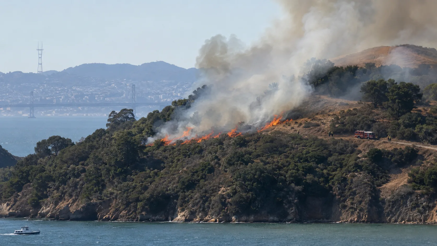
California State Parks, CAL FIRE and the Marin County Fire Department are carrying out a prescribed-fire project of up to 260 acres across grassland and coastal scrub on Angel Island. The first burn day, September 8, treated about 62 acres before agencies paused further ignition after reviewing smoke and air-quality conditions with the Bay Area Air District. Crews returned on Wednesday, September 23, and treated another 85 acres. That brings the total completed area to about 147 acres, leaving roughly 113 acres in the original project footprint for a future burn window.
The park stayed open during the operation, but temporary closures can affect parts of the Ida Trail, Sunset Trail, fire roads, perimeter roads and access to Mount Livermore. Those closures may remain in place for one to three days around burn operations, so visitors should follow posted signs and instructions from park and fire personnel.
Why the Smoke Spread Across the Bay Area
Angel Island sits in the middle of San Francisco Bay, so even a controlled fire there can become a regional smoke event when winds line up the wrong way. Wednesday's plume drifted into San Francisco and was noticeable well beyond the island. Around downtown San Francisco, some air-quality sensors briefly reached levels considered unhealthy for sensitive groups during the smokiest part of the afternoon. Conditions were not uniform across the city, however; readings varied sharply from one neighborhood to another.
State Parks says smoke can remain visible for up to several days after ignition ends. That does not mean the burn is still being actively lit. Firefighters remain on the island to monitor the treated area, and crews can continue mop-up and patrol work after the ignition phase is over.
How to Check Whether a Wildfire Is Nearby
Smoke smell alone cannot tell you where a fire is coming from. On a day like this, the fastest way to separate a prescribed burn from a new emergency is to check more than one official source:
- ✓CAL FIRE incident information — useful for checking major incidents the agency is tracking across California.
- ✓AirNow Fire and Smoke Map — combines air-quality data with fire and smoke information and is useful when you are trying to work out whether smoke is actually affecting your neighborhood.
- ✓PurpleAir — helpful for seeing neighborhood-level particulate readings, but sensor data should be treated as air-quality information rather than proof of a fire's location.
- ✓Watch Duty — provides wildfire incident notifications and is also listed by California State Parks as a place to follow the Angel Island project.
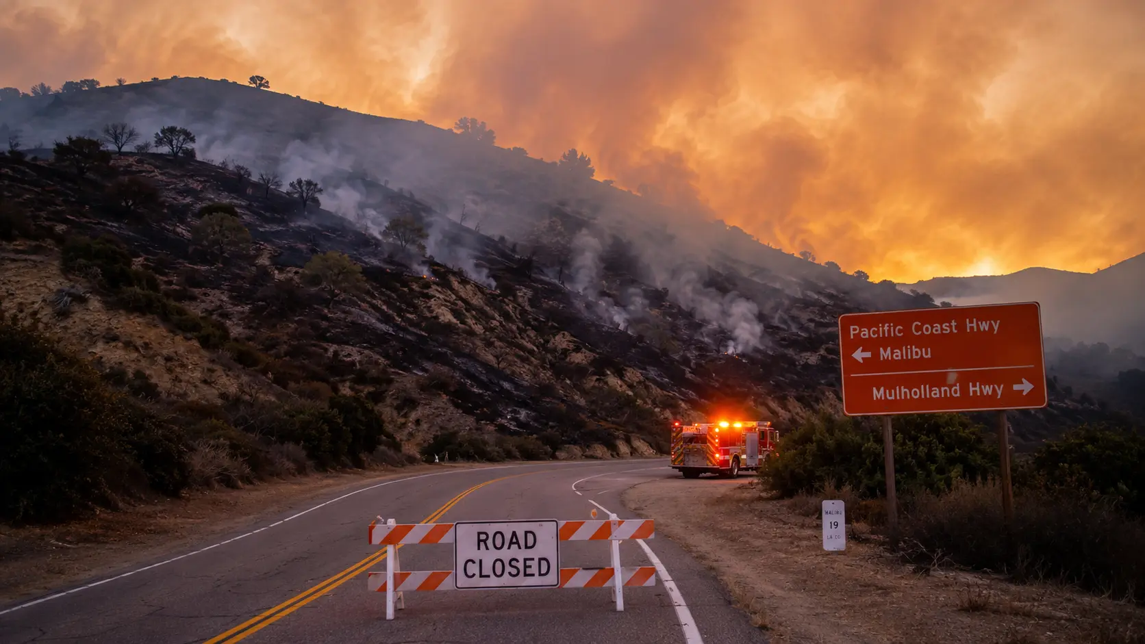
- ✓County emergency alerts and local fire agencies — the best place to confirm evacuation warnings, road closures or an incident close to home.
If smoke is clearly coming from Angel Island while this project is being monitored, officials have specifically asked the public not to call 911 just to report that plume. If you see a separate fire, immediate danger, flames near structures, or another sign of an actual emergency, call 911.
What to Do If the Smoke Is Bothering You
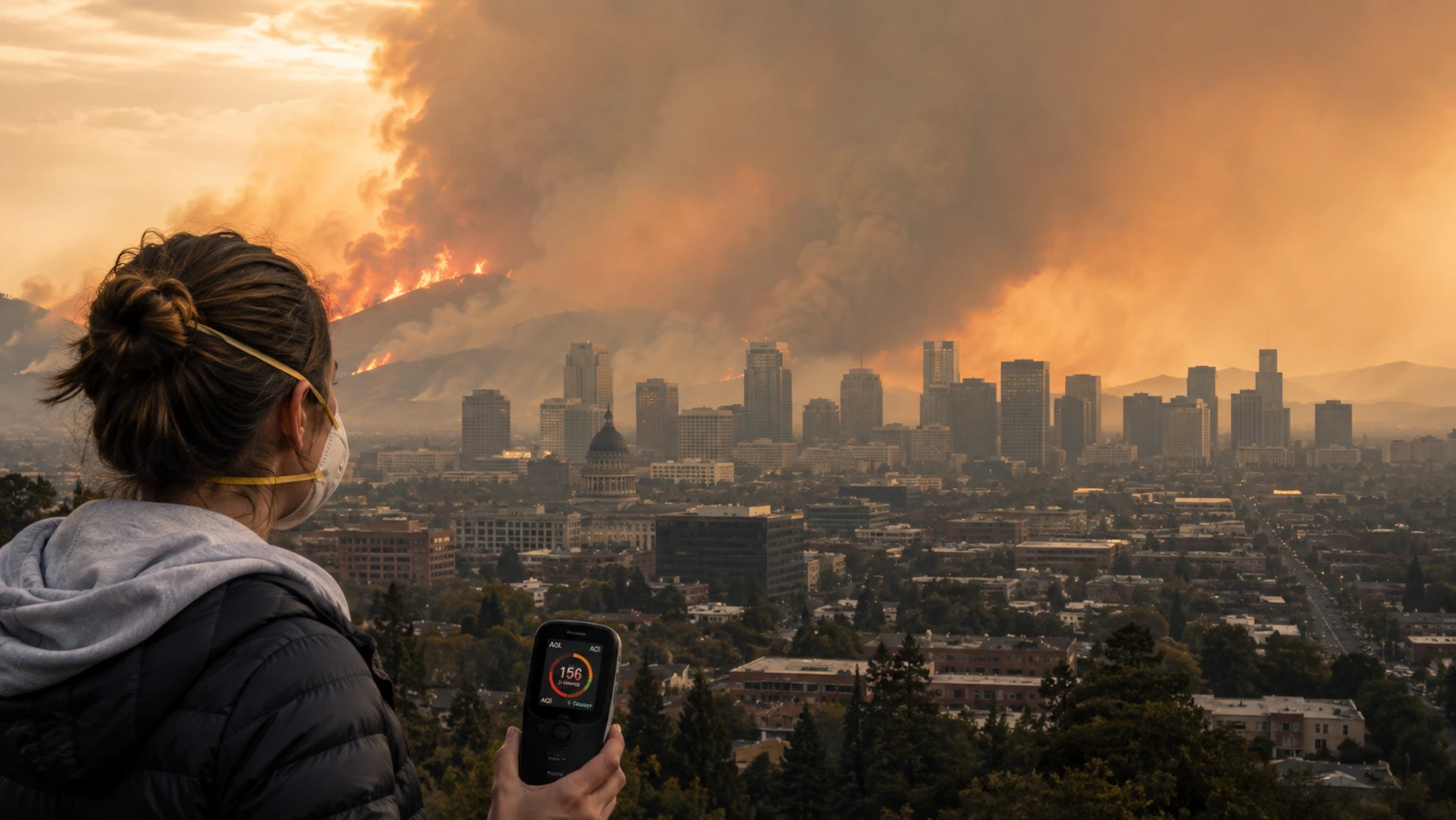
Prescribed-fire smoke can raise fine-particle pollution and irritate the eyes, throat and airways. People with asthma, COPD or other heart and lung conditions, along with children and older adults, can be more sensitive when smoke settles near ground level. If conditions are smoky where you are, check local air-quality readings, reduce strenuous outdoor activity, keep windows and doors closed when practical, use indoor filtration if available and set vehicle ventilation to recirculate. A well-fitted N95 can reduce particle exposure if you have to spend time outside in smoke.
One sensor is not the whole Bay Area. Smoke concentrations can change quickly by neighborhood and by hour. Use the reading closest to you and look at the trend, not just a screenshot from somewhere else in the city.
Why Crews Are Burning the Island on Purpose
The project is intended to reduce accumulated grass and coastal-scrub fuels while also supporting vegetation management, habitat work and invasive-plant control. Angel Island presents unusual firefighting logistics because it is surrounded by water and has limited access compared with a mainland park. Reducing the amount of burnable vegetation under controlled conditions can make a future wildfire easier to contain and can lower the intensity of fire moving through treated areas.
The work is supported by Proposition 4, California's 2024 climate-resilience bond. Agencies are deliberately waiting for narrow windows when wind, fuel moisture, staffing and expected smoke movement are acceptable. That is why the 260-acre project is being completed in pieces rather than on one fixed schedule.
Official video: how crews prepared for the Angel Island burn
CAL FIRE LNU video published before the September operation, explaining preparation and the logistical challenges of conducting a prescribed burn on Angel Island.
What Happens Next
There will be no additional ignition on Angel Island for the remainder of this week. Limited smoke may still be visible as the treated ground cools and crews monitor the site. With about 113 acres left in the original plan, the agencies can return during a later weather window if conditions are suitable. There is no announced date yet for that next phase.
That distinction matters for anyone searching for “Angel Island fire” or “fire near San Francisco” over the next few days: residual smoke from the island can continue after active burning has stopped. Check the timestamp on any alert or social post before treating it as a new incident.
Where to Get Live Updates
- California State Parks — Angel Island State Park — burn status, current restrictions and trail information.
- Marin County Fire Department and Marin emergency information — local operational updates and public-safety notices.
- CAL FIRE — statewide incident information and agency updates.
- Bay Area Air District and AirNow — regional smoke information and air-quality conditions.
- PurpleAir — neighborhood sensor readings that can help show where particulate levels are elevated.
This article will be updated if California State Parks or fire officials announce a new burn date for the remaining acreage.



Comments 0
No comments yet. Be the first to share your thoughts!
Leave a Comment