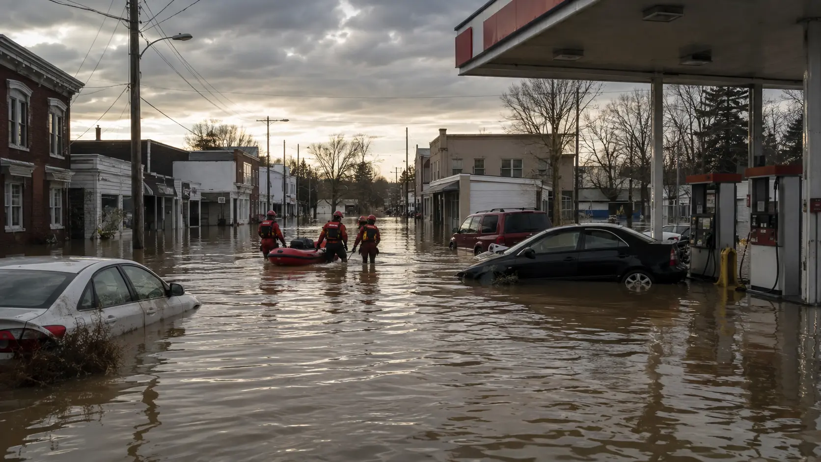

Latest: The Storm Prediction Center has confirmed the August 11 system that soaked Crooksville and Perry County as a derecho — the region's first in six years — and at least four deaths have now been tied to it. In Roseville, Ohio, one resident died during a medical emergency after floodwater prevented first responders from reaching them, Gov. Mike DeWine confirmed. In Indiana, a 4-year-old boy was killed when a tree fell on a home in Geneva Township, Jennings County, and a woman died in storm-related conditions in Gary, according to the Lake County Coroner's Office. A fifth death, from a suspected house explosion and fire in Portage, Indiana, remains under investigation and has not been formally added to the storm toll. Power outages tied to the system peaked at more than 1 million homes and businesses across Illinois, Indiana, Ohio, and Kentucky. In Perry County, at least 380 people were displaced and the Village of Crooksville was placed under restricted access, with only residents permitted to enter via East Main Street at State Route 93; officials there have shifted from rescue operations into a lengthy cleanup and are evaluating whether to seek federal disaster assistance. Separately, the same multiday storm pattern went on to trigger a far larger crisis in east-central and central Indiana, where the White River broke a 113-year-old flood record, at least six additional deaths have been confirmed statewide, and the White House has approved a federal Presidential Emergency Declaration for Indiana. Full details on that follow-on disaster, including flooding in Cambridge City, Muncie, Anderson, and Indianapolis, are covered in our companion report.
Original Tuesday recap: A rare Flash Flood Emergency struck Crooksville and Perry County, Ohio, early Tuesday, August 11, after more than 4 inches of rain fell in about 12 hours. Multiple local fire and EMS departments carried out water rescues, hundreds of residents were pulled from flooded homes, and the Village of Crooksville lost power. Shelters opened at the Crooksville Fire Department and the Perry County Fairgrounds. Full details on that initial response are below.
A slow-moving band of storms parked over southeastern Ohio overnight Monday into Tuesday, dropping rainfall totals that overwhelmed creeks and low-lying streets in a matter of hours. What started as a heavy-rain forecast turned into an active, multi-agency water rescue response before sunrise Tuesday — and over the following days grew into a deadly, multi-state severe weather event that stretched from Illinois to Tennessee and ultimately produced one of Indiana's most destructive flood disasters in over a century.
What Happened in Crooksville and Perry County
Crooksville, a village of roughly 2,500 people in east-central Perry County, took the worst of Tuesday's flooding, with more than 6.5 inches of rain falling in just a few hours and flooding numerous roads in downtown Crooksville. The Crooksville Volunteer Fire Department — an all-volunteer agency of about 30 firefighters that typically runs closer to 250 fire calls a year — posted early Tuesday that multiple local fire and EMS departments were on scene for "major flooding," urging residents to stay indoors and move to higher ground if they lived in low-lying areas. Perry County Emergency Management Agency Executive Director Sima Merick told CNN that roughly 200 people were forced to leave or were unable to access their homes as floodwater rose 6 to 10 feet in low-lying areas, and two bridges were overtopped. Two Ohio Department of Natural Resources swift-water rescue teams were deployed to assist, joined by response teams from adjacent counties.
Nearby Roseville, a village of about 1,500 straddling Perry and Muskingum counties, was nearly isolated by the flooding, with only one road out reported usable. It was there that Gov. DeWine confirmed the storm system's first fatality: a resident died during a medical emergency after flooded roads prevented first responders from reaching them in time. DeWine signed a state of emergency for both Perry and Muskingum counties and activated the Ohio National Guard's High Water Rescue Unit, deploying 40 Army National Guard members to assist local responders in Roseville and Crooksville.
A Confirmed Derecho That Kept Growing
The Storm Prediction Center confirmed that the mesoscale convective system responsible for Crooksville's flooding — which tracked from eastern Iowa through northern Indiana and into Ohio — qualified as a derecho, the region's first in six years. Wind gusts reached 99 mph in Gary, Indiana, where a woman died in storm-related conditions, according to the Lake County Coroner's Office. In southeastern Indiana's Jennings County, a 4-year-old boy was killed when high winds toppled a tree onto a home in Geneva Township, the county sheriff's office said. A fourth death — a suspected house explosion and fire in Portage, Indiana — remains under investigation and was not formally counted in the storm's death toll. Dayton, Ohio set a daily rainfall record of 2.07 inches, breaking a mark that had stood since 1915, and the National Weather Service's Chicago office confirmed 70 tornadoes across its coverage area for 2026, surpassing the previous record of 63 set in 2024. Power losses tied to the storms climbed past 1 million homes and businesses across Illinois, Indiana, Ohio, and Kentucky at their peak — up sharply from the roughly 700,000 outages reported when the derecho first swept through.
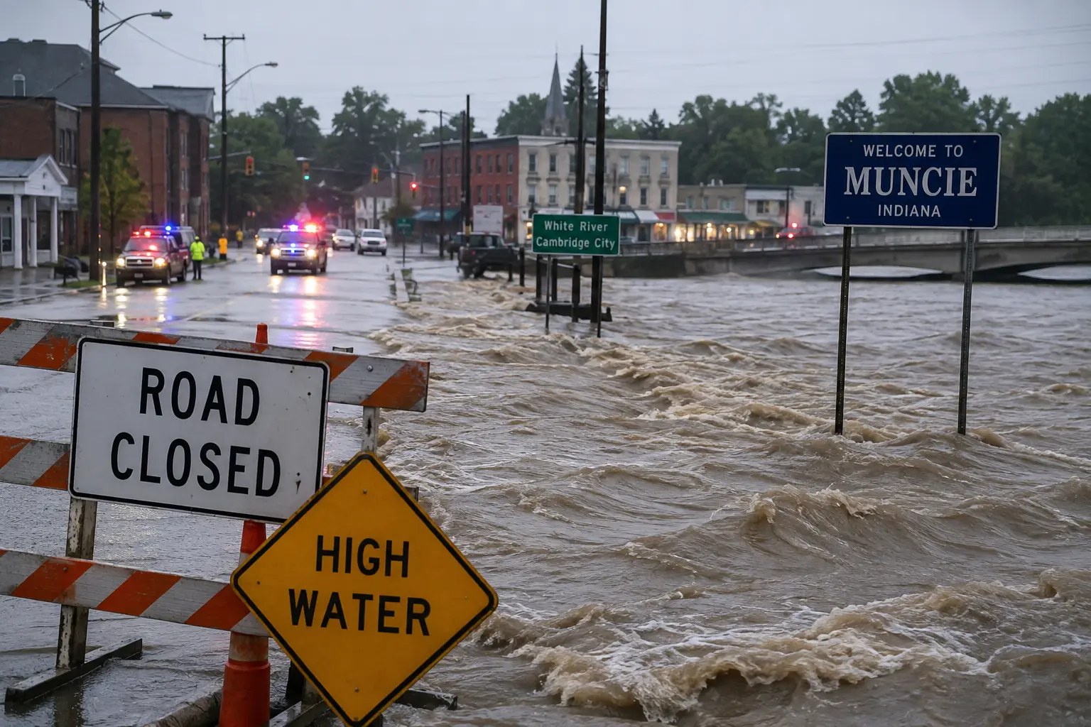
With floodwaters in Perry County beginning to recede by midweek, officials said the focus had shifted from rescue operations to a lengthy recovery: at least 380 people had been displaced, and Perry County Commissioner Scott Owen said the county would need outside help with the "very massive cleanup, restoration efforts" ahead. Gov. DeWine, who toured the hardest-hit areas by helicopter and described the damage as "stunning," said state officials were evaluating whether to request federal disaster assistance. In neighboring Athens County, nearly 300 people called 911 for help during the flooding, including at least 42 involving vehicles caught in floodwater. But the same storm pattern was far from finished: it went on to dump record rainfall across east-central Indiana, triggering the White River flood disaster that broke a 113-year-old record, killed at least six more people statewide, and prompted a federal Presidential Emergency Declaration — a separate, larger event covered in detail in our companion report on the Indiana flooding.
How Fire Departments Are Responding
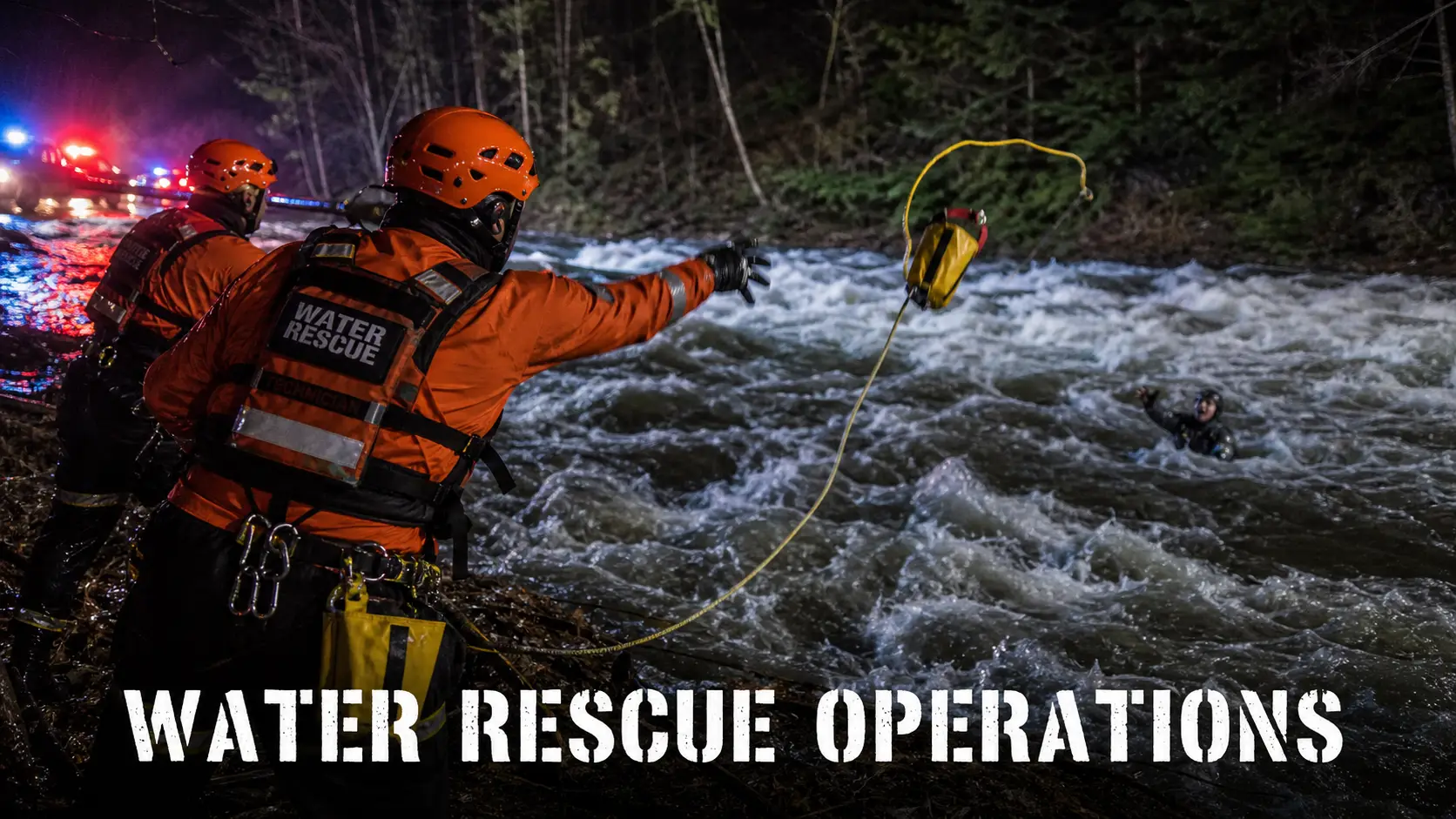
Crooksville's response illustrates how quickly a rural, mostly-volunteer department can be pushed past its normal capacity by a flash flood. With no paid career staffing for fire suppression, the department leaned on mutual aid from neighboring Perry County fire and EMS agencies to run parallel rescues across multiple flooded streets at once — a scenario that mirrors NIMS/ICS guidance for water rescue incidents, where unified command and mutual aid are typically activated within the first hour once more than one or two simultaneous rescues are confirmed. Crews used rafts and boats to reach residents trapped by rapidly rising water rather than attempting wading rescues, consistent with standard swift-water rescue protocol that prioritizes getting a floating asset to a victim over entering moving water on foot. As the storm system spread into Indiana and Tennessee, and later produced the far larger White River flooding, fire and EMS agencies in those states have been managing their own parallel, and in some cases much larger, responses to stranded vehicles, downed trees, and rising rivers.
- ✓Displaced-residents shelter (Crooksville): Crooksville Fire Department, 531 Walnut Street, Crooksville, OH.
- ✓County shelter: Perry County Fairgrounds, opened via the Perry County Emergency Management Agency.
- ✓Crooksville access: Under restricted access — only residents permitted, via East Main Street at State Route 93.
- ✓Power outages: Peaked at more than 1 million homes and businesses across Illinois, Indiana, Ohio, and Kentucky; assume any downed line is live.
- ✓Perry County Dog Shelter: Requesting donations of dog and cat food, litter boxes, bleach, and cleaning supplies for displaced pet owners.
- ✓Non-emergency line (Crooksville): Crooksville Fire and EMS, (740) 982-6801 (call 911 for emergencies only).
NWS Flood Terminology, Explained
| Term | What it means |
|---|---|
| Flood Watch | Conditions are favorable for flooding; nothing is confirmed yet. Prepare and monitor forecasts. |
| Areal Flood Warning | Flooding is happening or imminent over a broad area, but not tied to a specific river or stream and not sudden enough to qualify as flash flooding. |
| Flash Flood Warning | Rapid, dangerous flooding is occurring or about to occur, typically within minutes to a few hours of the triggering rainfall. Take action immediately. |
| Flash Flood Emergency | A rare enhancement to a Flash Flood Warning, issued only when flooding poses a severe, likely fatal threat to a populated area — this is the level issued for Crooksville, and later for Muncie and Cambridge City, Indiana. Treat it as a life-safety emergency, not a routine alert. |
Water Rescue Safety: Turn Around, Don't Drown
Just six inches of fast-moving water can knock an adult off their feet, and about a foot can float most cars. That's the basis of the National Weather Service's long-running "Turn Around, Don't Drown" campaign, and this storm system offered a grim illustration of why it matters — from the Roseville resident who could not be reached in time by rescuers, to Ohio's earlier tragic reminder in July, when a struggling swimmer and several would-be rescuers drowned in a fast-moving section of the Scioto River in Powell, Ohio. Fire officials consistently stress the same guidance in flash flood conditions:
- ✗Never drive into flooded roadways — it's the leading cause of flood deaths in the U.S., and even a route that "doesn't look deep" can stall a vehicle and trap occupants.
- ✗Don't attempt an untrained rescue of someone struggling in fast-moving water — call 911 and, if possible, throw a floating object rather than entering the water yourself.
- ✓Stay away from downed trees and power lines during and after high winds — the Jennings County, Indiana fatality was a reminder that storm-related deaths and injuries this week came from falling trees as often as floodwater itself.
- ✓Move to higher ground immediately if you're in a low-lying area under a Flash Flood Warning or Emergency — don't wait to see how bad it gets.
- ✓If trapped by rising water, get to the highest interior point and, if needed, the roof — avoid closed attics with no exit — and call 911 to report your exact location.
Bystander rescues are one of the most common ways flash floods turn into multiple-fatality incidents. Well-intentioned attempts to help a struggling swimmer or stranded motorist can quickly turn into a second and third victim once the current takes hold. If you see someone in trouble in floodwater, call for help before you act — it's the single change most likely to keep a bad situation from becoming a tragedy.
What's Next
Perry and Muskingum counties in Ohio are now in a recovery and cleanup phase, with state officials still evaluating whether to formally request federal disaster assistance on top of Gov. DeWine's state of emergency declaration. Roseville and Corning remain among the hardest-hit communities, and the Ohio Emergency Management Agency continues coordinating debris removal and support for displaced residents. The same storm pattern that began in Crooksville went on to produce a much larger and still-active disaster in Indiana, where record White River flooding, additional fatalities, and a federal Presidential Emergency Declaration have shifted the center of this story; readers following the broader event should see our companion coverage of the Indiana flooding for the latest on that front. For real-time updates on the Ohio side, follow the Perry County Emergency Management Agency, the Crooksville Volunteer Fire Department, and the National Weather Service offices covering southeastern Ohio, rather than relying on any single article, including this one — flood and recovery conditions can change day by day.
This is a developing story; we'll update it as Perry County Emergency Management, the Crooksville Volunteer Fire Department, the National Weather Service, and officials in Ohio, Indiana, Kentucky, and Tennessee release further information on damage, recovery timelines, and any federal assistance decisions.



Thanks for the kind words, Barry. Our thoughts are with everyone affected in Crooksville and Perry County right now. We'll continue updating this post as the situation develops — stay safe out there.
As part of "The Public" let us pray diligently for the Rescue Teams and People of Crooksville and be patient until onformed it's OK to arrive and help. Many grow closer to Jesus Christ in such times as these.