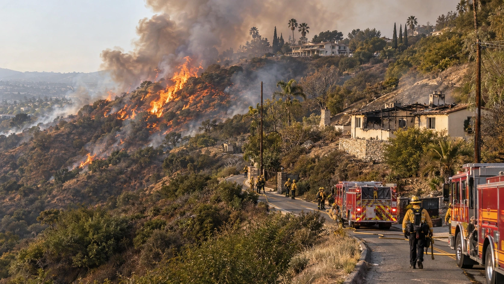

Palos Fire in La Habra Heights: Brush Fire Destroys Homes, Injures Two, Forces Evacuations
Updated: September 15, 2026
The Palos Fire burned through a steep hillside neighborhood in La Habra Heights, California on Monday afternoon, September 14, damaging homes and other structures, injuring a resident and a firefighter, and prompting evacuations near the Los Angeles-Orange County border. Firefighters stopped the blaze's forward progress by late afternoon. The latest official incident status available Tuesday lists the fire at about 17 acres and 41% contained.
How the Palos Fire Started and Grew
Los Angeles County firefighters responded shortly before 2:30 p.m. to a brush fire near the 2400 block of Las Palomas Drive, close to Lupin Hill Road. The fire was burning in a canyon below hillside homes and pushed uphill through dry vegetation toward the ridgeline. A second alarm was requested as crews increased both ground and air resources.
- Shortly after 3 p.m.: Initial estimates placed the fire at about 10 to 12 acres.
- By late afternoon: The working estimate increased to roughly 20 acres as crews attacked the fire from the canyon and nearby roads.
- Around 4:50 p.m.: Firefighters reported that forward progress had been stopped.
- Final mapped estimate Monday evening: The size was revised to about 17 acres with 41% containment.
The cause remains under investigation.

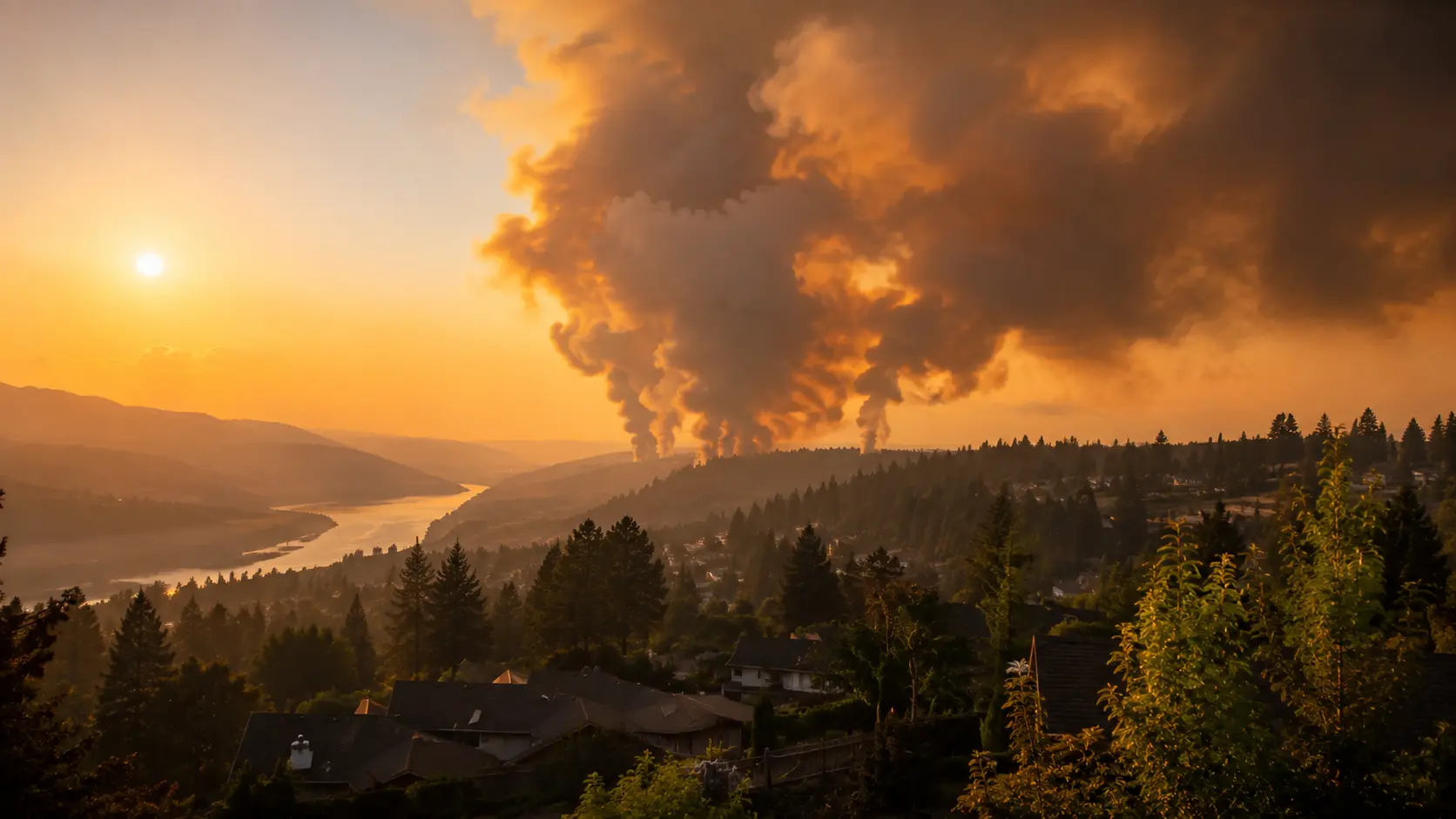
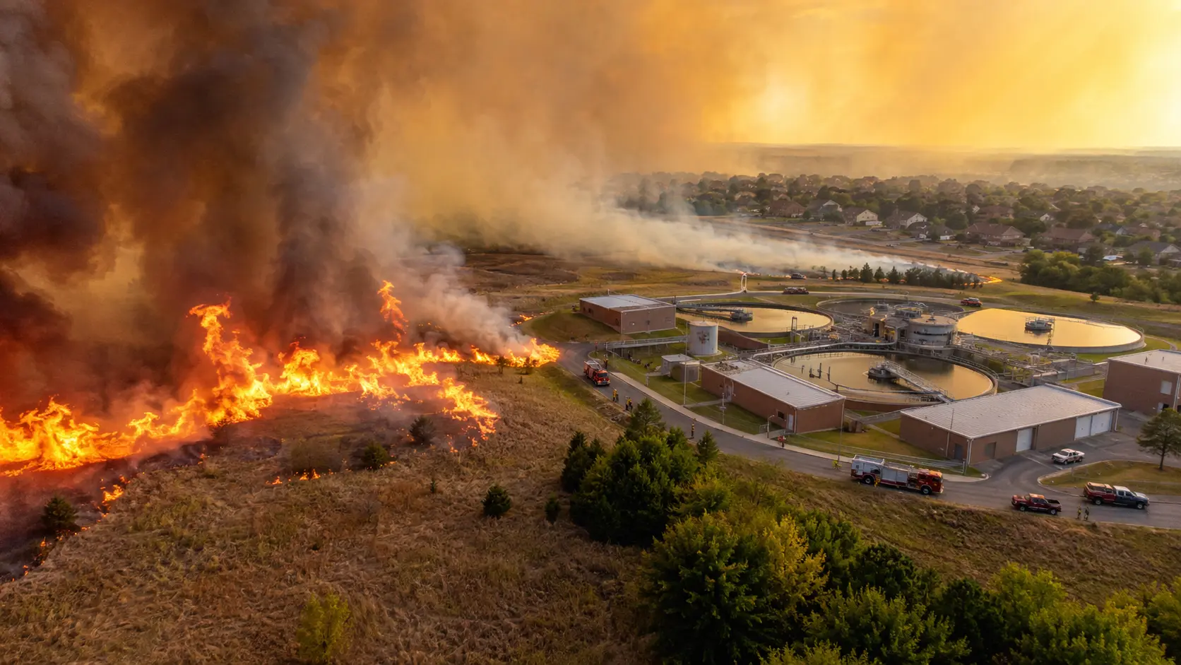
The Palos Fire moved uphill through a canyon toward homes along the La Habra Heights ridgeline.
Homes and Other Structures Were Damaged
At least four structures were affected by the fire, but late Monday reports differed on the exact breakdown. CBS Los Angeles reported two homes destroyed and two outbuildings significantly damaged. ABC7 reported that at least three structures burned. CAL FIRE's latest incident status lists four structures damaged.
Because those reports use different damage classifications, the exact number of homes considered a total loss may change as officials complete their assessments.
Resident and Firefighter Injured
A resident and a Los Angeles County firefighter were injured during the incident and taken to hospitals. Officials did not immediately release details about the nature of the injuries, but both were expected to recover.
Firefighters also rescued five horses from properties threatened by the fire, an important concern in La Habra Heights, where many hillside properties keep horses and other animals.
Evacuations and a Large Firefighting Response
Evacuation warnings were issued for zones LHH-772-A, LAC-E613-B, LAC-E615-B, and LAC-E618-B as flames moved toward homes. Residents along several hillside roads were told to leave or prepare to leave, and temporary shelters were opened in the area, including at Los Altos High School in Hacienda Heights.
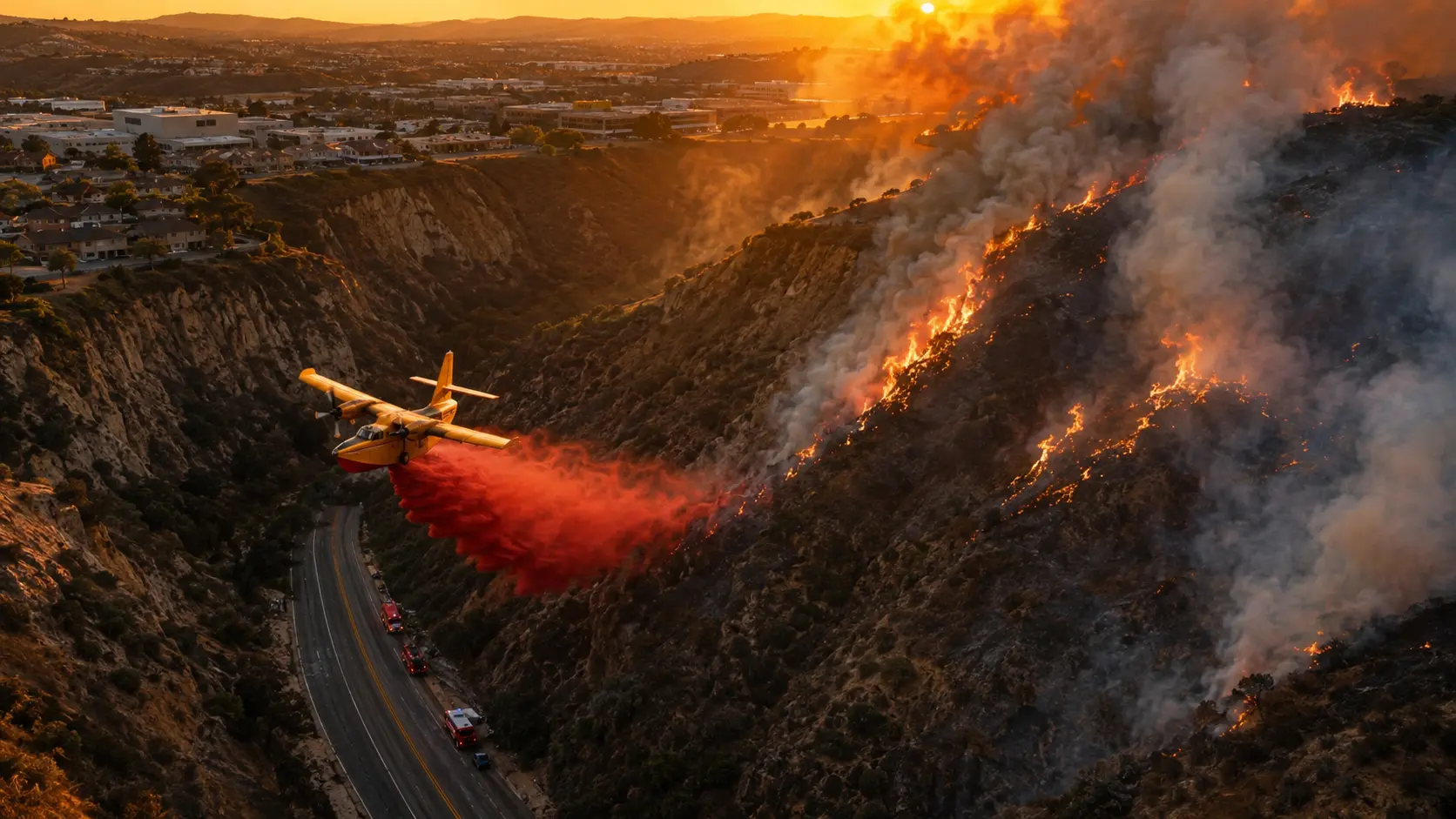
Los Angeles County Fire Department officials said approximately 76 units and 250 personnel were assigned during the response. Helitankers made water drops while firefighters worked from the canyon floor and along the ridgeline to protect structures. Some crews had to hike into the canyon because steep terrain and the area's narrow, winding roads limited apparatus access.
Evacuation warnings were lifted Monday evening after firefighters stopped the fire's forward spread. Crews then shifted to strengthening containment lines, laying hose around the perimeter and checking for hot spots.

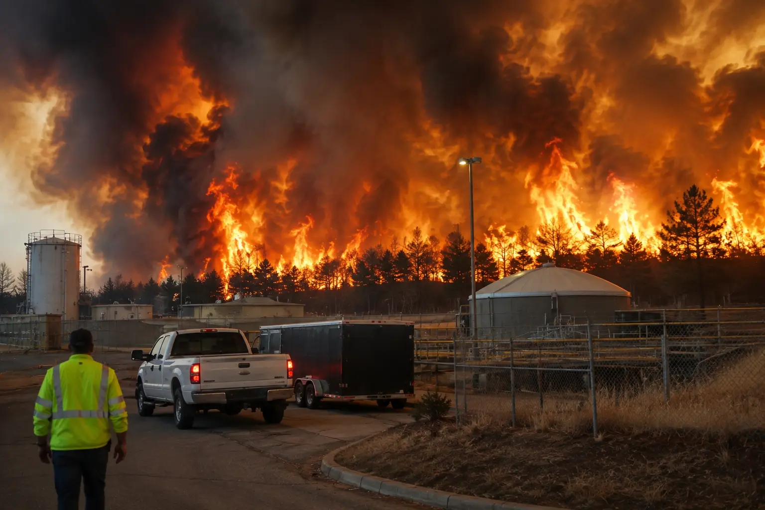
Ground crews and water-dropping aircraft worked the steep canyon and ridgeline as firefighters protected nearby homes.
Why a 17-Acre Fire Caused Serious Damage
Seventeen acres is not a large wildfire footprint by California standards, but acreage alone does not describe the threat this fire created. The Palos Fire started below homes in steep canyon terrain and burned uphill toward a developed ridgeline. That put structures in the fire's path early, while narrow roads made it harder to move engines and crews into position.
For firefighters, that combination changes the job quickly. Crews are no longer dealing only with a vegetation fire; they have to split attention between stopping the brush fire, protecting structures, moving residents out of threatened areas and keeping access routes open for incoming resources.
Latest Palos Fire Status
Latest official figures available September 15:
- Size: approximately 17 acres
- Containment: 41%
- Forward progress: stopped
- Structures: four listed as damaged by CAL FIRE; local reports differ on how many were complete losses
- Injuries: one civilian and one firefighter
- Cause: under investigation
Bottom Line
The Palos Fire became a structure-protection emergency within a short period after breaking out in the hills of La Habra Heights on September 14. Firefighters stopped the blaze at about 17 acres, but not before homes and other structures were damaged and two people were injured. All evacuation warnings were lifted Monday evening. As of the latest official update available Tuesday, the fire remained listed at 41% containment and the cause was still under investigation.
Frequently Asked Questions
Is the Palos Fire contained?
As of the latest official incident update available September 15, the Palos Fire was about 17 acres and 41% contained. Firefighters had stopped its forward progress.
How many homes were destroyed in the Palos Fire?
Local reports differ on the final damage classification. CBS Los Angeles reported two homes destroyed and two outbuildings significantly damaged, while ABC7 reported at least three structures burned. CAL FIRE lists four structures damaged. A final damage assessment may clarify the exact number of total losses.
Was anyone hurt in the Palos Fire?
Yes. One resident and one firefighter were injured and hospitalized. Officials said both were expected to recover.
Where did the Palos Fire burn?
The fire burned in the hills around La Habra Heights near Lupin Hill Road and Las Palomas Drive, close to the Los Angeles-Orange County border and the communities of Hacienda Heights and Whittier.
Were there evacuations?
Yes. Evacuation warnings were issued for several zones in La Habra Heights and nearby Los Angeles County communities. The warnings were lifted Monday evening after firefighters stopped the fire's forward spread.




Comments 0
No comments yet. Be the first to share your thoughts!
Leave a Comment