
Published: · Last updated: August 8, 2026 · Reviewed by Ertuğrul Öz, Certified Fire Chief & Training Specialist
Update, Friday: Containment has climbed significantly on all three fires, now managed together as the Spokane Complex Fire (also called the Spokane Area Fires): Autumn Lane is 37% contained at 5,738 acres, Old Trails is 23% contained at 3,561 acres, and Fairview is 31% contained at 992 acres — more than 10,200 acres combined. Officials now estimate 921 structures have been damaged or destroyed across the complex. Roughly 65,000 people were evacuated at the peak of the response, and evacuation levels are being downgraded in several areas as containment improves — check the Spokane County evacuation map for your specific address, since zone status is changing day to day. There have been no confirmed deaths or injuries. A Spokane man, Aaron Farinacci, has been arrested on first-degree arson charges tied specifically to the Old Trails Fire; investigators have not linked him to Autumn Lane or Fairview, both still under investigation. More than 1,500 firefighters from 24 states have been deployed to the response. This remains a developing wildfire — figures below can change day to day. If you are in the Spokane, Washington area, do not rely on this article for evacuation decisions — follow live orders from Spokane County Emergency Management, the Spokane County evacuation map, and local broadcasters (KREM, KHQ, The Spokesman-Review). Links are in the "Where to Get Live Updates" section below.
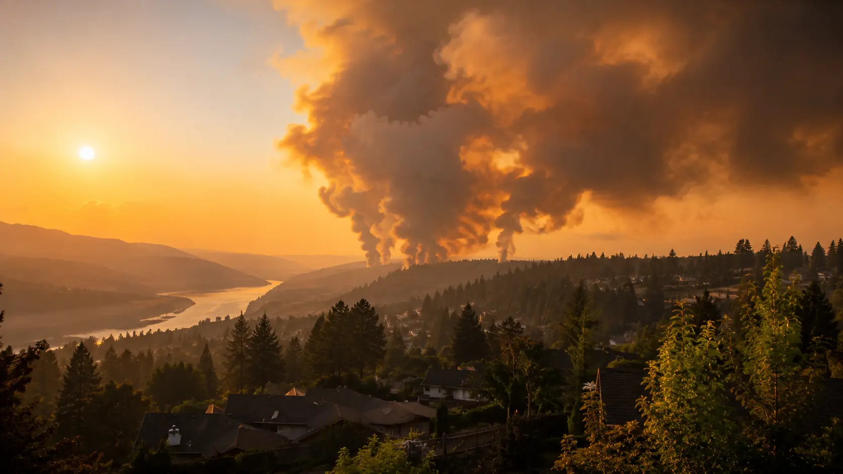
A fast-moving wildfire, now named the Old Trails Fire, broke out just before noon on Saturday, August 1, 2026, west of Spokane, Washington, near Old Trails Road and West Euclid Road. Driven by wind gusts reported between 35 and 50 mph and single-digit humidity, the fire grew rapidly through the afternoon, jumped the Spokane River, and pushed into Riverside State Park and neighborhoods in northwest Spokane. It has since stabilized at roughly 3,561 acres and is now 23% contained. Two related fires ignited the same day: the Fairview Fire, now about 992 acres and 31% contained, and the Autumn Lane Fire, which grew into the largest of the three at roughly 5,738 acres and is now 37% contained. Together, the three are tracked as the Spokane Complex Fire, totaling more than 10,200 acres. Spokane County Fire District 3 Fire Chief Cody Rohrbach said the majority of the 921 damaged or destroyed structures were lost in the Old Trails Fire alone, many of them homes in the Indian Trail and Five Mile Prairie neighborhoods, where residents returning to check on their properties found blocks of homes burned down to their foundations.
Standing in front of the charred remains of his home on West Tiffany Avenue, one resident told The Spokesman-Review, "It's gone, all gone." Spokane Mayor Lisa Brown described the disaster as the worst her region has faced. Washington Governor Bob Ferguson has activated the Washington National Guard, declared a statewide burn ban, and requested federal emergency funding after speaking by phone with President Trump. Statewide, 17 major fires have burned more than 260,000 acres, as Washington faces its worst wildfire season in more than 30 years.
Level 3 "Go Now" evacuation orders — the highest level, meaning leave immediately due to life-threatening conditions — remain in effect across large parts of northwest Spokane, Airway Heights, and Suncrest. Roughly 65,000 people are currently under evacuation orders. The Mann-Grandstaff VA Medical Center fully evacuated its patients to area shelters. A Red Cross shelter at the Spokane Convention Center sheltered hundreds of families overnight. An animal shelter is operating at the Barking Lot in Spokane Valley. The Spokane County Sheriff's Office says it has cleared more than 200 missing-person reports, with roughly a dozen still being checked — officials stress that number reflects an abundance of caution, not confirmed casualties, and no deaths or injuries have been reported in any of the three fires. Officials are asking residents still inside Level 3 zones to stay out and not attempt to check on their properties until it is declared safe; Mayor Brown said Monday it's unclear when most evacuees will be able to return, estimating it could take anywhere from a week to several weeks.
In this article:
Why the Fire Grew So Fast
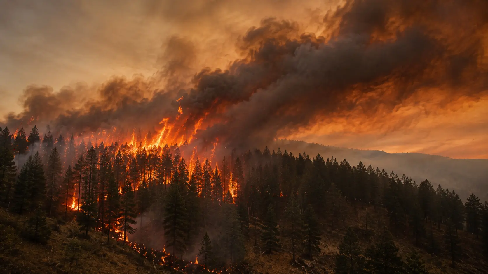
Hours before the Old Trails Fire started, the National Weather Service issued a "Particularly Dangerous Situation" (PDS) Red Flag Warning across Central and Eastern Washington — a designation reserved for the single most extreme fire-weather setups, and one officials said had never been issued in the state before. A strong cold front swept through the Inland Northwest on August 1, bringing historically strong, gusty winds and very low humidity on top of already dry vegetation.
Under those conditions, a spark — the cause of the Old Trails Fire is still under investigation and has been described as human-caused — can turn into a fast-moving, wind-driven fire within minutes rather than hours. Observers on scene described the fire making sustained "crown runs," meaning flames were racing through treetops rather than creeping along the ground, which allows a fire to outrun typical containment efforts and cross natural barriers like a river.
What is a Particularly Dangerous Situation (PDS) Red Flag Warning? It's an enhanced version of a standard Red Flag Warning, issued only when fire weather conditions are extreme enough that any new fire could grow explosively and firefighting aircraft may be grounded by wind. It signals the highest tier of fire-weather risk the National Weather Service tracks.
Washington's State of Emergency and Burn Ban
Washington Governor Bob Ferguson declared a state of emergency and imposed a statewide burn ban running through September 30, 2026, activating 110 members of the Washington National Guard and authorizing the state to draw on the Emergency Management Assistance Compact for additional out-of-state firefighting resources. The Washington State Fire Marshal's Office has mobilized 13 task forces, and Washington State Patrol authorized state fire mobilization within roughly 90 minutes of the fire's start.
Fixed-wing aircraft and at least one helicopter were also assigned to slow the fire's spread, though officials warned aircraft effectiveness would be limited by the same high winds driving the fire. Zoomed out, this fire is part of a brutal wider season: Washington and Oregon are experiencing their worst wildfire season in more than 30 years, with over 2.1 million acres burned statewide as of July 30, before the Old Trails Fire even started.
What Level 1, 2, and 3 Evacuations Actually Mean
| Level | Meaning | What to do |
|---|---|---|
| Level 1 — "Get Ready" | There is a potential threat to your area. | Pack a go-bag, monitor local news and alerts, and identify your evacuation route. |
| Level 2 — "Get Set" | There is significant danger to your area; conditions can change quickly. | Load your vehicle, keep it fueled and facing an exit route, and be ready to leave at a moment's notice. |
| Level 3 — "Go Now" | Danger is immediate and life-threatening. | Leave immediately. Do not wait to gather belongings. This is the level currently in effect for parts of northwest Spokane and Airway Heights. |
These three levels are used by most Western U.S. counties, including Spokane County, and the wording is intentionally blunt: a Level 3 order is not a suggestion, and "this may be your only notice" language — used in the actual alerts sent for the Old Trails Fire — means responders may not have the resources to issue a second warning before conditions become unsurvivable.
Other Fires Burning in the Region Right Now
The Autumn Lane Fire is now the largest of the three at roughly 5,738 acres and 37% contained, having overtaken Old Trails (3,561 acres, 23% contained) earlier in the response; Fairview sits at about 992 acres and 31% contained. Combined, the Spokane Complex Fire has burned more than 10,200 acres. California Interagency Incident Management Team 7 (CIIMT 7) continues to lead the federally coordinated response, with more than 1,500 firefighters from 24 states now deployed — a scale that has drawn international news coverage. Containment gains on all three fires this week mean evacuation levels are being downgraded in several areas; always confirm your specific address against the live county map rather than assuming a general improvement applies to you.
In a major development, Spokane County Sheriff John Nowels announced Monday evening that a 37-year-old Spokane man, Aaron Farinacci, has been arrested on first-degree arson charges in connection with the Old Trails Fire specifically — investigators have not linked him to the separate Autumn Lane or Fairview fires, which remain under active origin investigation. Read our full breakdown of the arrest and what happens next for details on the case.
Beyond Spokane, search interest has also spiked for the Logan Fire in Utah and the Big Rock Fire near the Washington–Idaho border, both driven by the same regional pattern of dry fuels, low humidity, and strong wind. If you're tracking fire activity across the broader region rather than just Spokane, it's worth monitoring all of these, since a single wind event is capable of igniting or accelerating multiple fires at once.
What to Do If You're In or Near the Evacuation Area
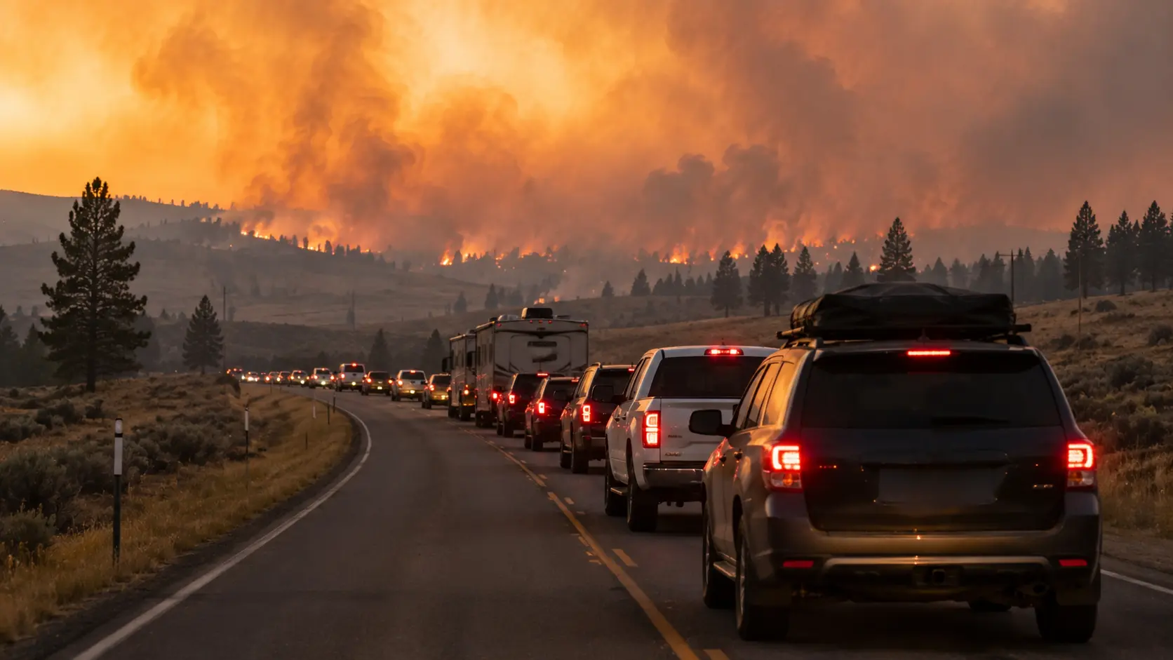
- ✓Check your exact address against the official Spokane County evacuation map before assuming you are or aren't affected — zone boundaries are drawn street by street and change as the fire moves.
- ✓Sign up for local emergency alerts if you haven't already — most counties, including Spokane, offer free text/email evacuation alerts tied to your address.
- ✓If you're under a Level 2 order, leave before it becomes Level 3 — waiting for the highest level in fast-moving, wind-driven fires like this one can mean evacuating through smoke and traffic instead of ahead of it.
- ✓Check on neighbors who may need help evacuating — elderly residents, people without vehicles, and those with mobility limitations, especially given medical facilities in the area were also evacuated.
- ✓Watch air quality even outside the evacuation zone — smoke from a fire this size typically affects air quality well beyond the fire perimeter; check local air quality alerts if you have respiratory conditions.
- ✗Don't drive into or toward the fire to "see how close it is" — this both endangers you and can block roads first responders and evacuating residents need.
- ✗Don't rely on acreage or containment numbers from any single source, including this article — cross-check with official channels below, since figures can lag real conditions by hours.
Where to Get Live Updates
For real-time acreage, containment, and evacuation zone boundaries, use official and local sources rather than any single news article, including this one:
- Spokane County's official evacuation map — the authoritative source for current Level 1/2/3 zone boundaries.
- Washington State Department of Natural Resources wildfire dashboard — statewide fire activity, acreage, and containment updates.
- InciWeb (inciweb.wildfire.gov) — the federal incident information system used for significant wildfires, when the fire is added.
- Local broadcasters — KREM 2, KHQ, and The Spokesman-Review are providing rolling, on-the-ground coverage and are typically first to reflect boundary changes.
- AirNow.gov — for current air quality and smoke impact, including areas outside the fire perimeter.
We'll update this article as the situation develops. If you have a confirmed update from an official source, the fastest way to verify a change is to check it against Spokane County's own evacuation map before acting on it.



Comments 0
No comments yet. Be the first to share your thoughts!
Leave a Comment