Latest, per Kern County Fire Department's final incident update: Forward progress on the Buzzard Fire has stopped. The fire remains at approximately 500 acres and 10% contained, with crews continuing to work through the night into the morning in steep, rough terrain. An evacuation warning remains in effect for Zone KRN-535 (it was briefly upgraded to a mandatory order on Wednesday before being downgraded back to a warning that evening). No injuries have been reported. The southbound #4 lane of I-5 near the incident remains closed. This article reflects the most recent official update — always confirm current conditions with Kern County Fire Department and CAL FIRE's Buzzard Fire incident page before making travel or evacuation decisions.
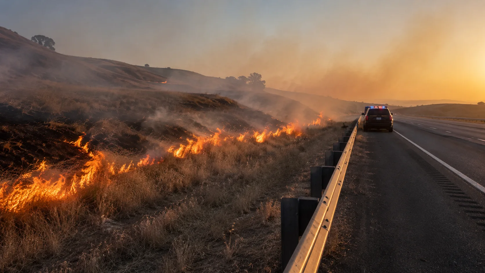
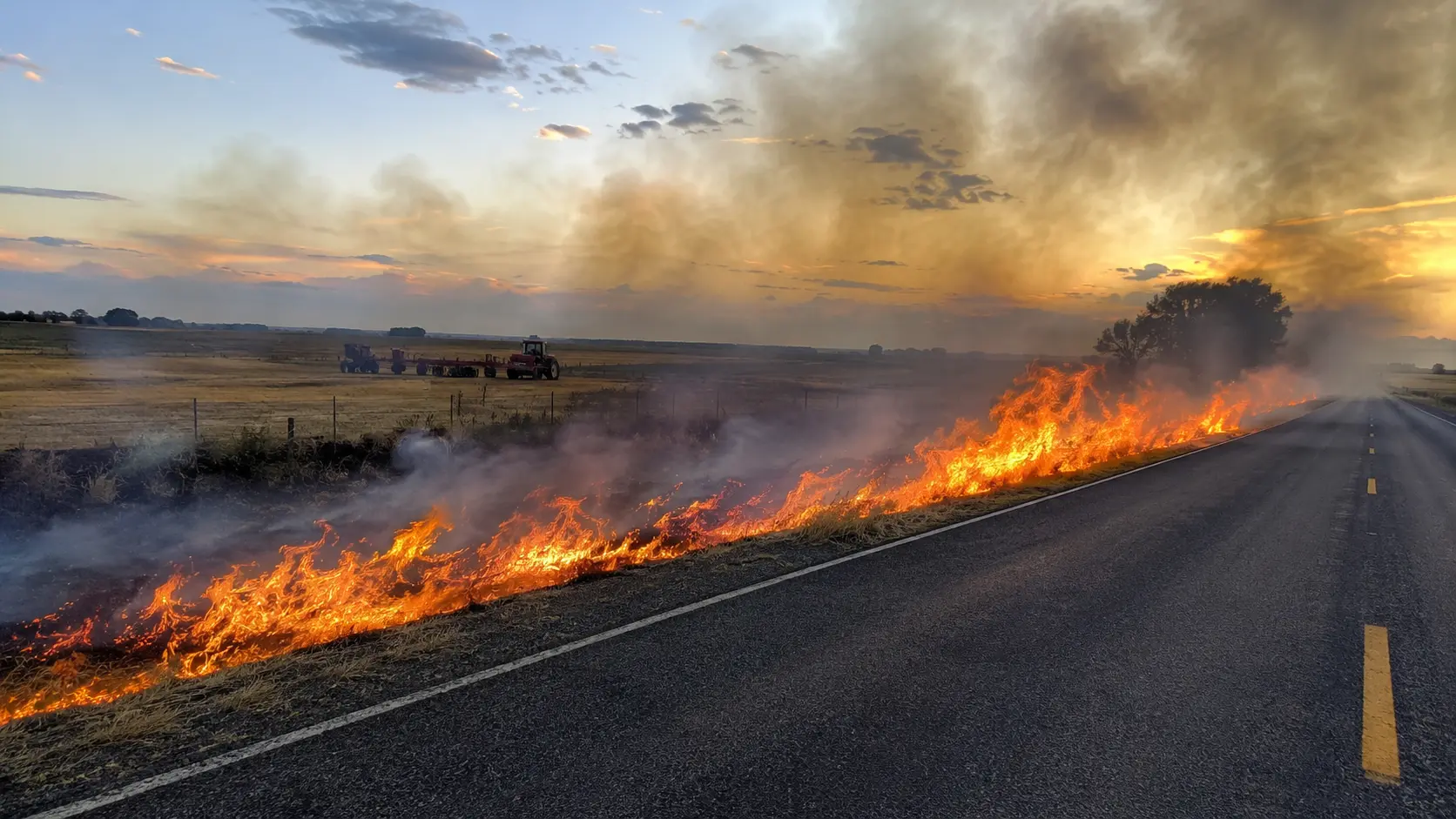
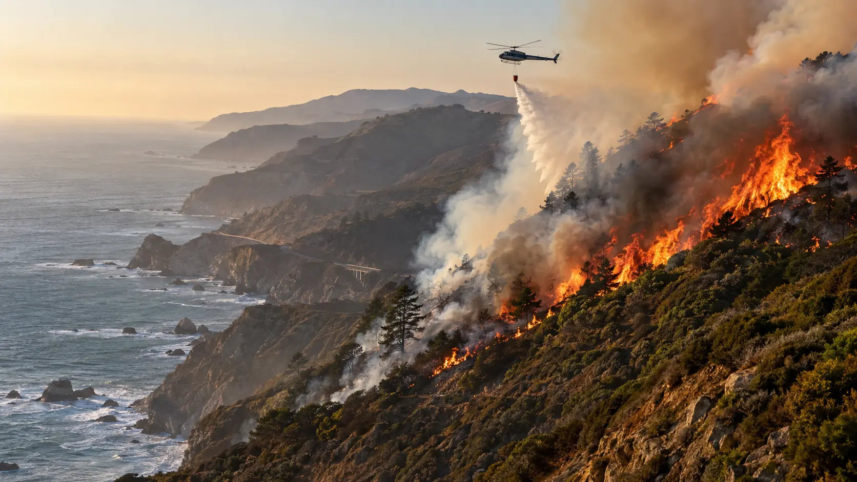
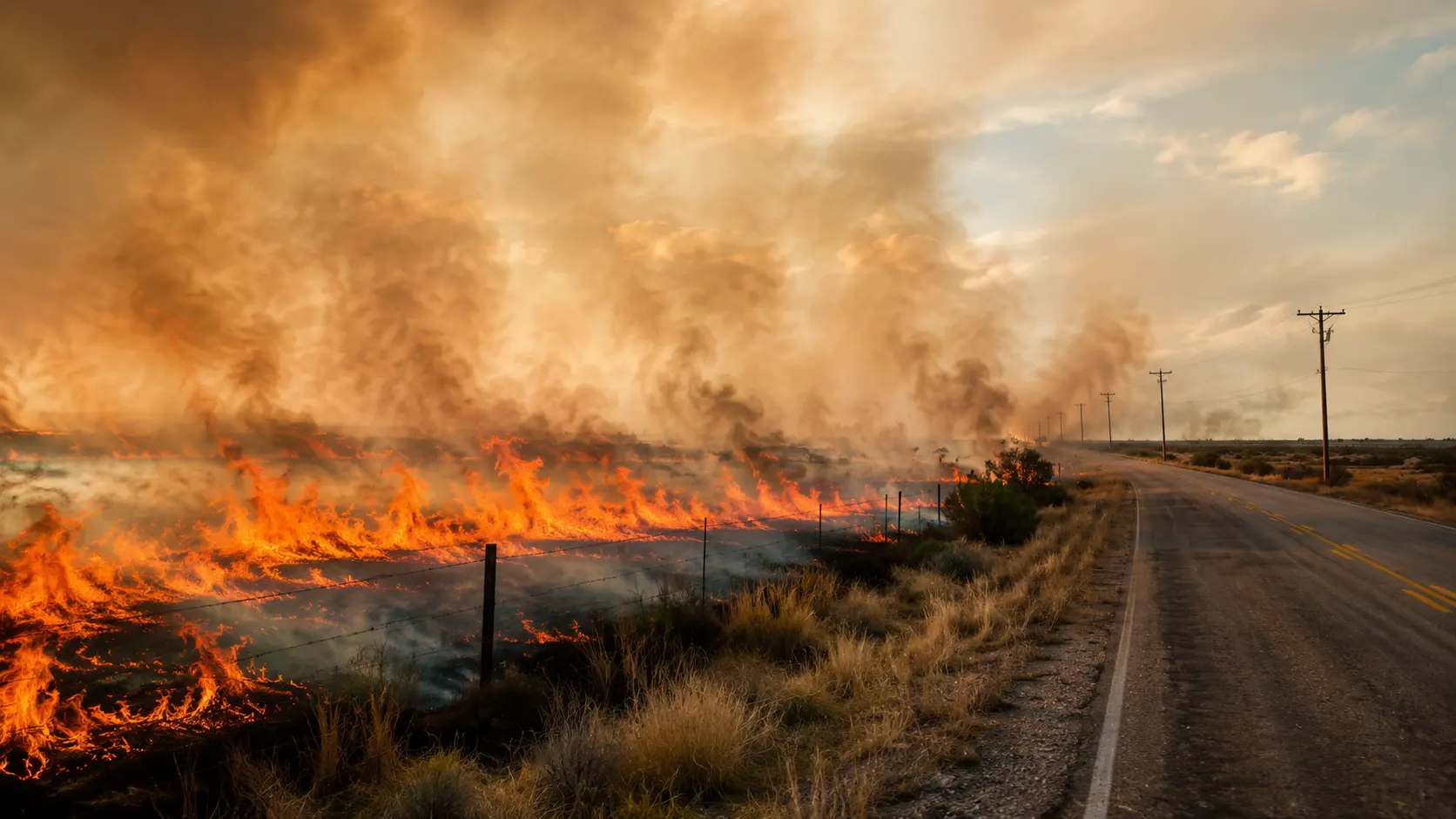
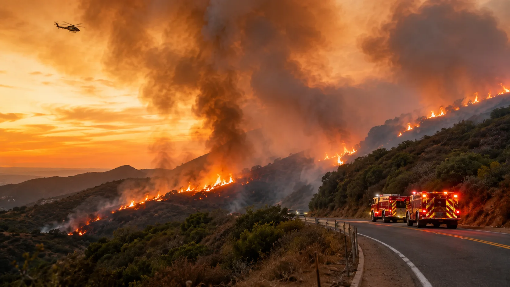
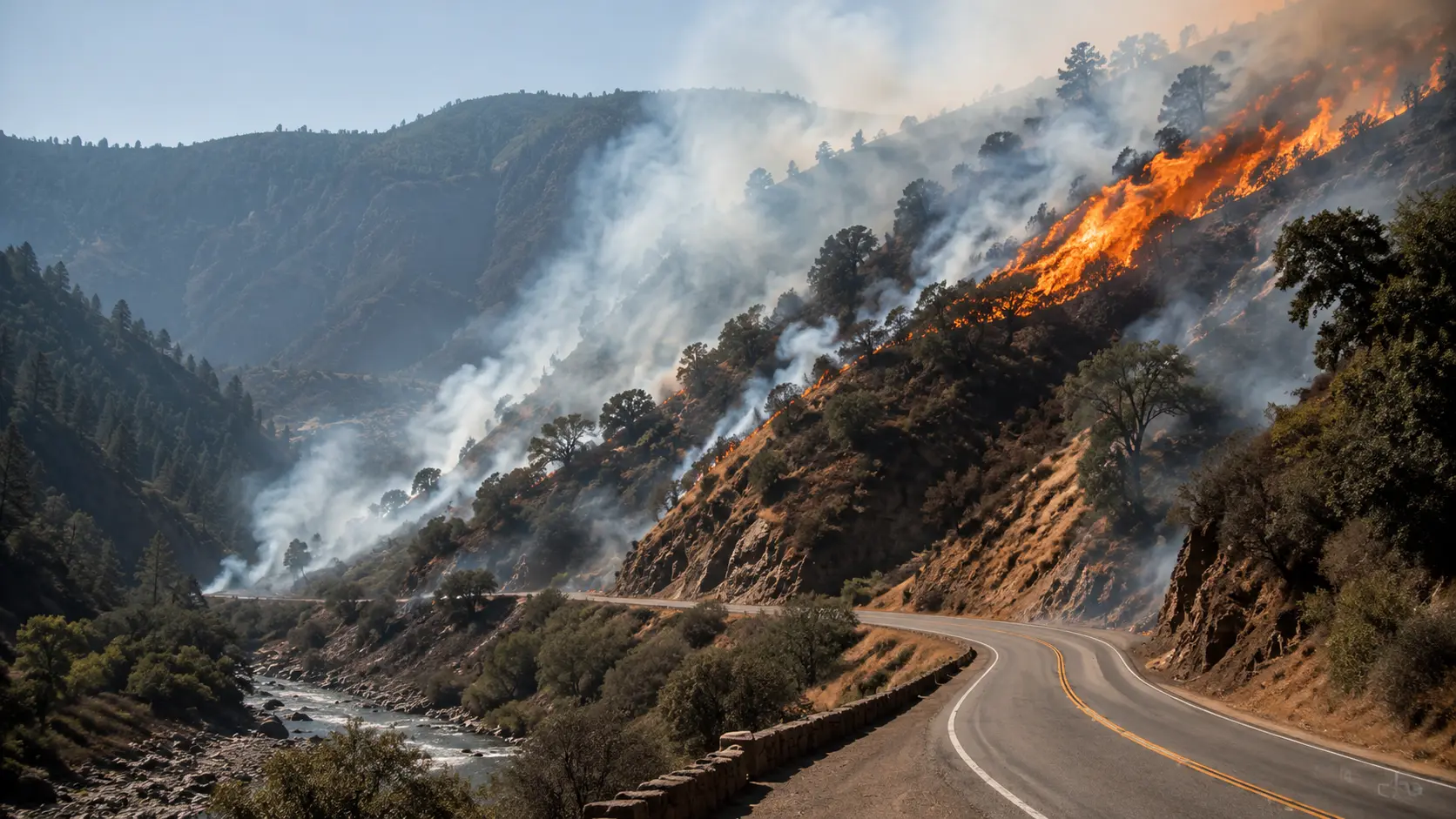
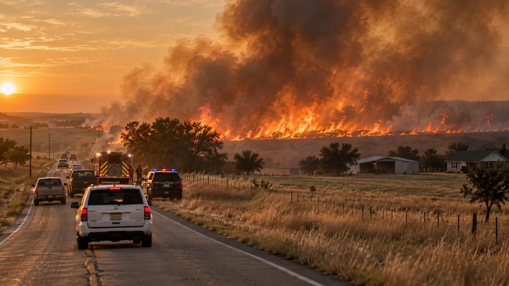
A vegetation fire broke out along southbound Interstate 5 near the Grapevine in Kern County, California, on the morning of Wednesday, August 5, 2026, prompting an evacuation warning, a highway lane closure, and a fast air-and-ground response from Kern County Fire Department (KCFD) and CAL FIRE. The fire, now named the Buzzard Fire, grew quickly through the morning before crews stopped its forward spread by Wednesday night.
In this article:
How the Fire Started
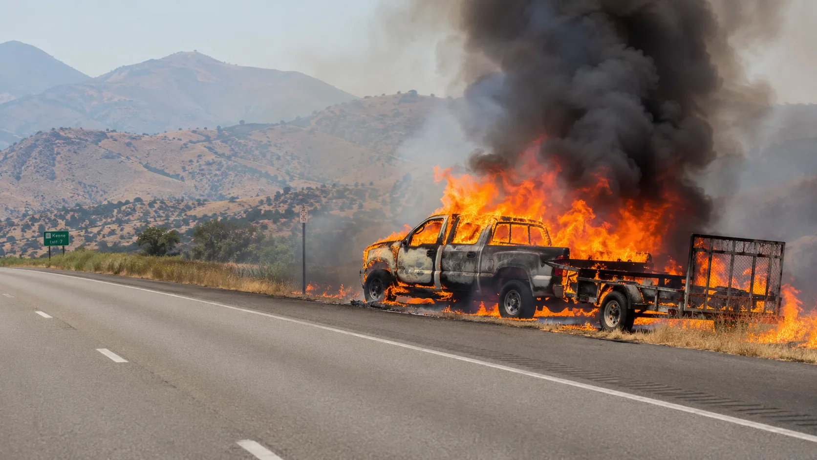
According to the California Highway Patrol's Traffic Incident Information Page, a pickup truck towing a trailer loaded with washers and dryers caught fire along southbound I-5, south of the Grapevine, at around 7:51 a.m. Wednesday. Kern County Fire Public Information Officer Jeremy Ruiz said crews were on scene within minutes, but as the fire ran uphill into dry roadside grass, it outpaced the initial ground response. "We had crews on scene within a matter of just a few minutes of this starting," Ruiz said. "They started to make headway on the flanks of the fire, but as that fire ran uphill, the air resources that were coming in were extremely helpful." The fire was reported at approximately 8:29 a.m. and named the Buzzard Fire. Its cause remains under investigation, though KCFD has described the ignition as accidental.
How Fast It Grew
The Buzzard Fire's early growth was rapid, more than tripling twice within about two hours before leveling off for the rest of the week:
The fire has held at roughly 500 acres since Wednesday afternoon. As of Kern County Fire Department's final incident update, forward progress has stopped and containment stands at 10%, with crews working overnight in steep, rough terrain to reinforce lines. No structures have been reported destroyed and no injuries have been reported.
Evacuation Zone KRN-535
As the fire grew from 180 to roughly 500 acres Wednesday, Kern County officials upgraded an earlier evacuation warning to a mandatory evacuation order for Zone KRN-535, south of Lebec. "Leave NOW, there is an immediate threat to life due to a wildfire in your area," Kern County Fire Department said in the alert. Residents were directed to the county's online evacuation map for zone boundaries and routes. Around 7 p.m. Wednesday, once forward progress on the fire stopped, the order was downgraded back to a warning — meaning a potential, not immediate, threat to life and property. As of the most recent update, the warning for KRN-535 remains active. Officials have continued to advise that residents needing extra time to evacuate, or with pets and livestock, should leave as soon as possible rather than wait for conditions to change.
Evacuation order vs. evacuation warning: An order means an immediate, life-threatening danger — leave now. A warning means a potential threat and conditions can change quickly — be ready to leave, and consider leaving early if you have pets, livestock, or need extra time.
I-5 Lane Closure
The fire's proximity to the highway forced the California Highway Patrol to close the southbound #4 (right) lane of I-5 near the incident, roughly 1.5 miles south of mile marker 8. That closure remained in place as of the most recent update. Drivers heading south through the Grapevine should expect delays and check CHP's traffic incident page for current lane status before traveling through the corridor.
Kern County's Firefighters Are Stretched Thin
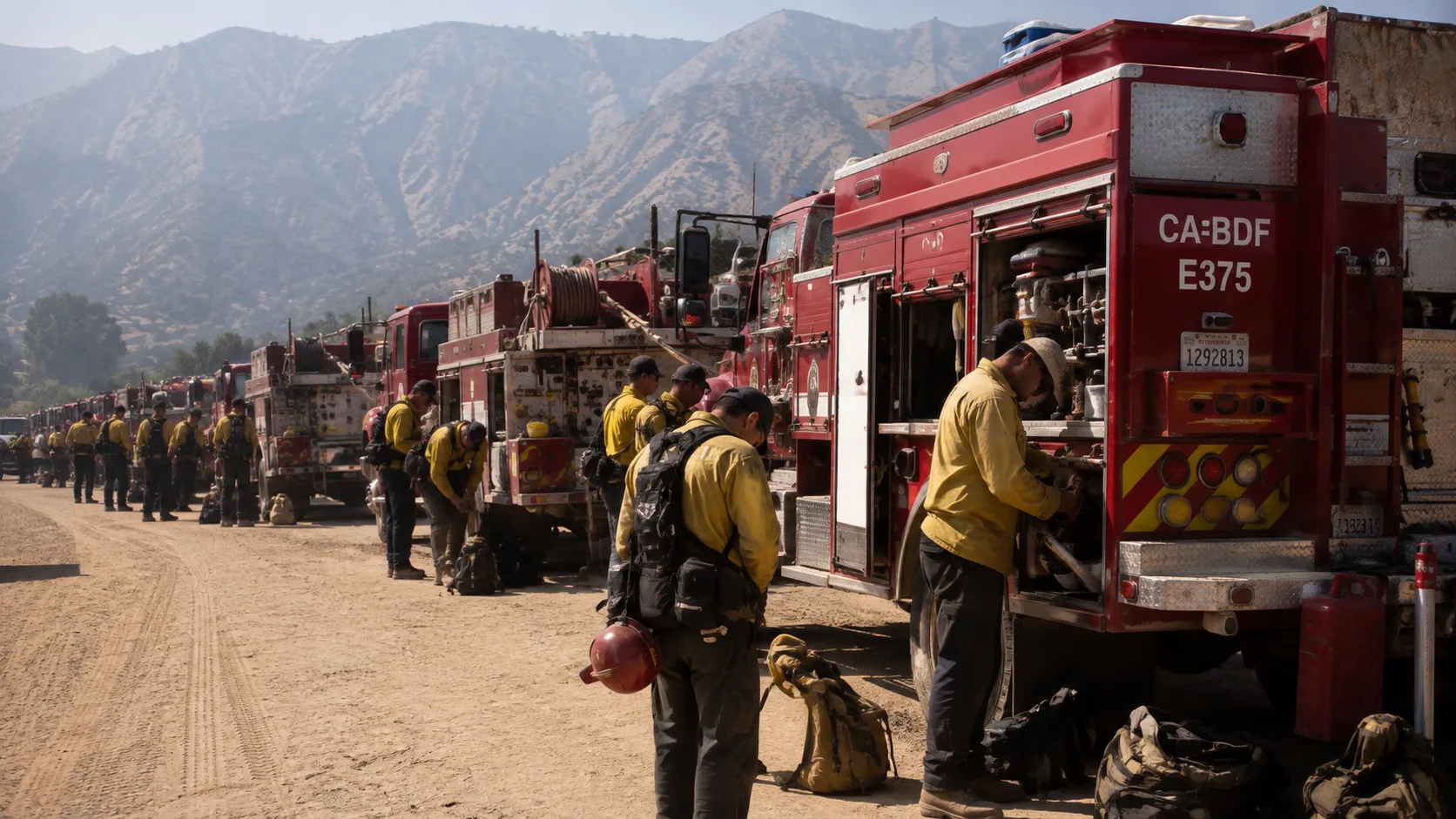
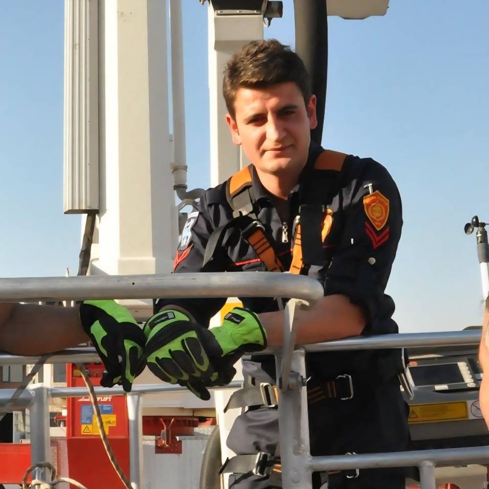
The Buzzard Fire comes as Kern County Fire Department has more than 90 firefighters deployed on mutual aid assignments outside the county — including fires in the San Diego area, Oregon, and Washington. "We've published that we're going out of county and assisting with these larger fires out of state," a KCFD spokesperson said. "We have fires that are burning well over a million acres. So even though our resources are out helping with incident management and suppression efforts, we are completely staffed here locally within Kern County, and we're gonna be able to put in that same suppression effort quickly." Kern County Fire personnel also noted that while the Buzzard Fire started accidentally, it's a reminder to stay alert to anything that could spark a fire as temperatures climb into triple digits in dry areas.
What to Do If You're Near the Area
- ✓Check Zone KRN-535's exact boundary on Kern County's official evacuation map rather than assuming based on your general area — zone lines are drawn precisely and can change.
- ✓Check CHP's traffic incident page before driving I-5 through the Grapevine — the southbound #4 lane closure can add significant delay.
- ✓If you're under the KRN-535 warning and need extra time — because of pets, livestock, or mobility needs — consider leaving now rather than waiting for conditions to escalate.
- ✗Don't rely on acreage or containment figures from any single source, including this article — cross-check with CAL FIRE's Buzzard Fire incident page for the latest numbers.
- ✗Don't stop on the I-5 shoulder near the fire area to take photos or check on the closure — it puts you at risk and can interfere with fire and highway crews.
Where to Get Live Updates
For the most current acreage, containment, and evacuation zone status, check official sources directly rather than any single news article, including this one:
- CAL FIRE's Buzzard Fire incident page — official acreage, containment, and evacuation zone map for this specific fire.
- Kern County Fire Department (@kerncountyfire) — the department's official social channel for incident updates.
- Kern County's online evacuation map (Genasys Protect) — the authoritative source for current KRN-535 zone boundaries.
- California Highway Patrol Traffic Incident Information Page — current lane closure status on I-5 near the Grapevine.
We'll update this article if Kern County Fire Department issues further updates on containment or the KRN-535 warning.



Comments 0
No comments yet. Be the first to share your thoughts!
Leave a Comment