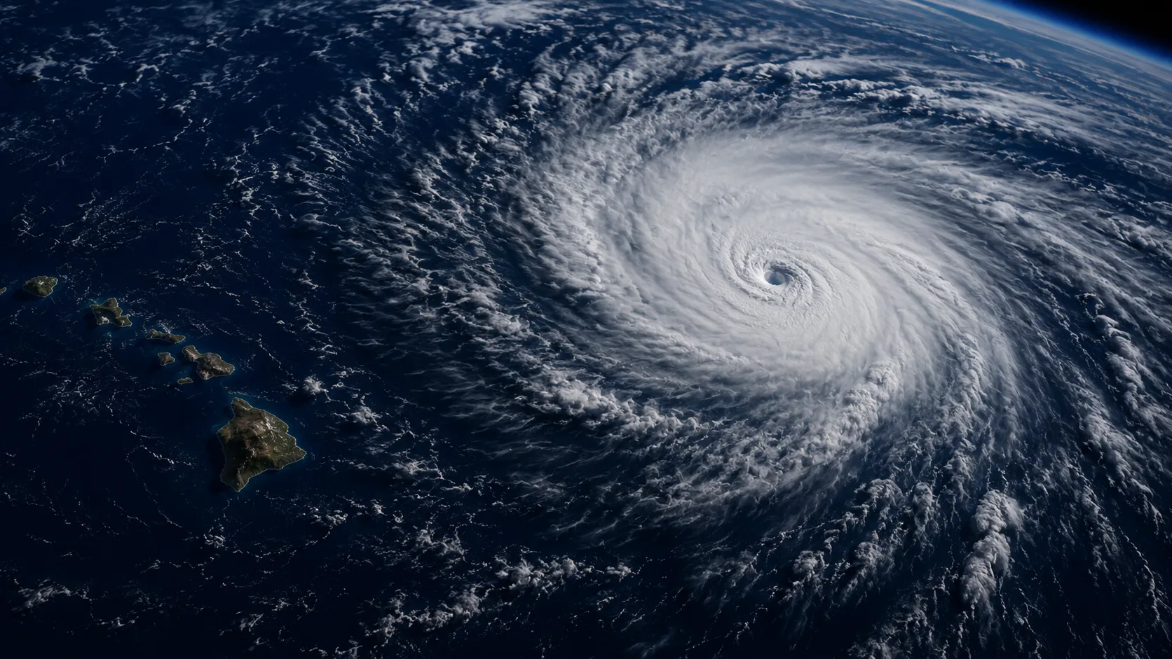
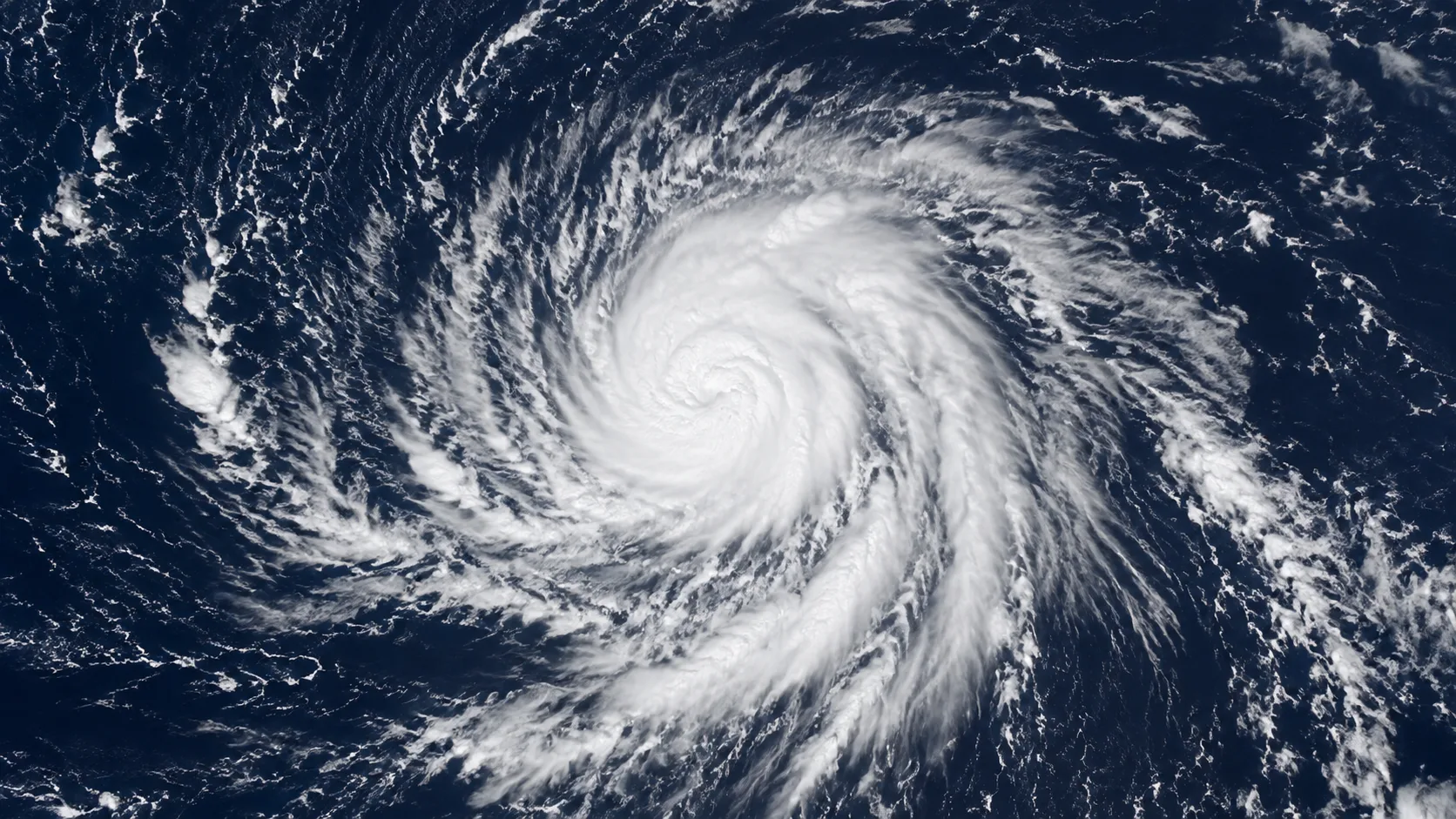
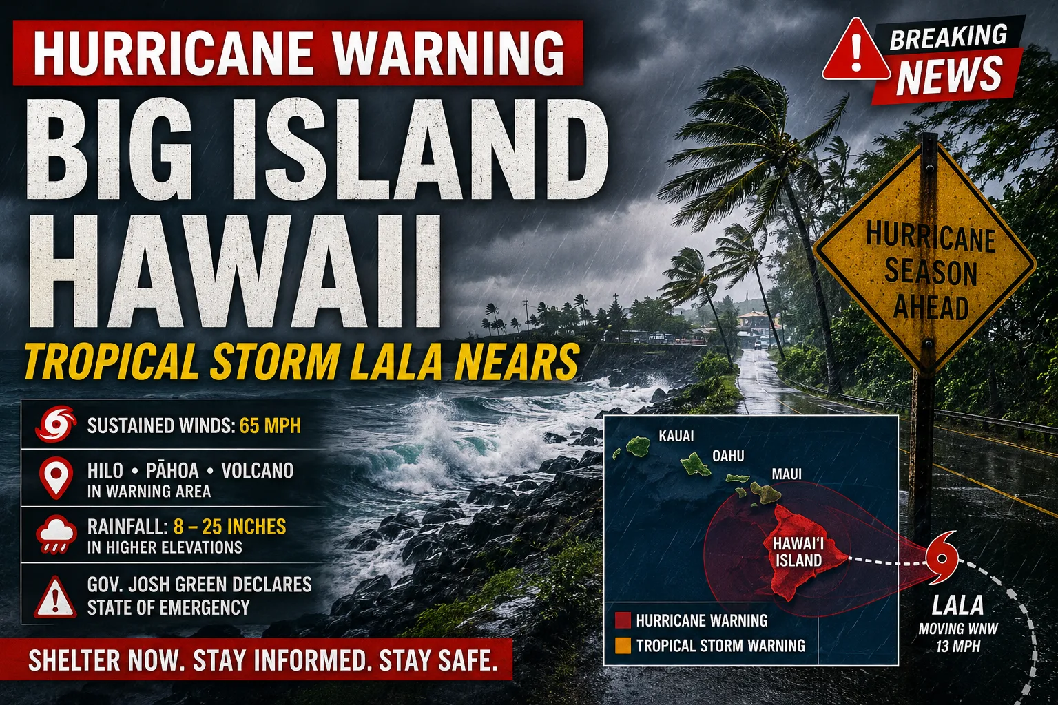
Key update: The Central Pacific Hurricane Center has designated Invest 93C, an area of disturbed weather southeast of Hawaii, as the most likely of three tropical systems currently being tracked across the Pacific to develop into a named storm. As of Sunday, August 9, NHC put confidence at roughly 90% that the system will organize into what would become Tropical Storm Lala, the next name on the Central Pacific list. Development is expected within the Aug. 10–12 window, with possible impacts to Hawaii around Aug. 14–15 if the track holds toward the islands. No official forecast track exists yet, and model guidance is still split — some solutions pass the system north of the islands, some south, and a few take it through the state directly. This is a developing situation; treat acreage-style numbers and track predictions here as a snapshot, not a live forecast, and follow the Central Pacific Hurricane Center and NWS Honolulu directly for current guidance.
The system now designated Invest 93C has been under watch since late last week as part of what forecasters are calling a tropical traffic jam across the Pacific basin, with the Central Pacific Hurricane Center, NHC's Eastern Pacific desk, and independent meteorologists all tracking multiple disturbances between Mexico and Hawaii simultaneously. Of the three, 93C is the one drawing the most direct attention to the Hawaiian Islands. Sea surface temperatures in the area are running around 27.5°C, warm enough to support intensification, and a strengthening El Niño has kept the broader eastern and central Pacific basin unusually active this season — seven named storms so far, including Hurricane Genevieve and, earlier this season, Hurricane Fausto, which passed near Hawaii in late July without a direct landfall.
What makes 93C different from a routine watch-and-wait disturbance is the model agreement on strength, if not yet on track. Some AI-assisted ensemble guidance has shown a meaningful share of members bringing the system to major hurricane status, 115 mph sustained winds or greater, should it fully organize. At the same time, veteran hurricane forecasters caution that a wide model spread on track this early — days out from formation — is normal and shouldn't be read as a forecast in itself. NOAA's 2026 Central Pacific outlook had already flagged an above-normal season, projecting 5 to 13 total tropical cyclones for the basin against a near-normal baseline of 4 or 5.
In this article:
Timeline: What Happens Between Now and August 15
| Window | Expected Development |
|---|---|
| Now (Aug 10) | Invest 93C organizing southeast of Hawaii; NHC confidence in formation around 90%. |
| Aug 10–12 | Most likely window for the system to organize into a tropical depression or Tropical Storm Lala. |
| Aug 12–14 | Official NHC/CPHC forecast track expected to firm up as the system organizes. |
| Aug 14–15 | Earliest window for possible impacts to the Hawaiian Islands if the track holds toward the state. |
Why the Track Is Still Uncertain
A ridge of high pressure currently sitting off the U.S. West Coast is forecast to retrograde, or drift, westward later this week, and where exactly that ridge ends up will be one of the biggest factors steering 93C's eventual path. Local forecasters in Hawaii note that model solutions are currently split three ways: some take the system north of the islands, some south, and a handful bring it through the state directly. That spread is why no official forecast track exists yet, and forecasters are explicit that it will likely take another day or two before one does.
This kind of early-stage uncertainty is normal for a system still in the invest stage, not a sign that the threat is being underplayed or overplayed. The appropriate response at this point is preparation, not panic, and forecasters both at NWS Honolulu and independent meteorology outlets are using nearly identical language: get ready now, stay informed, and let the National Hurricane Center's updates — not social media speculation — drive any decisions about the storm's eventual track and strength.
What Hawaii Residents and Crews Should Do Now
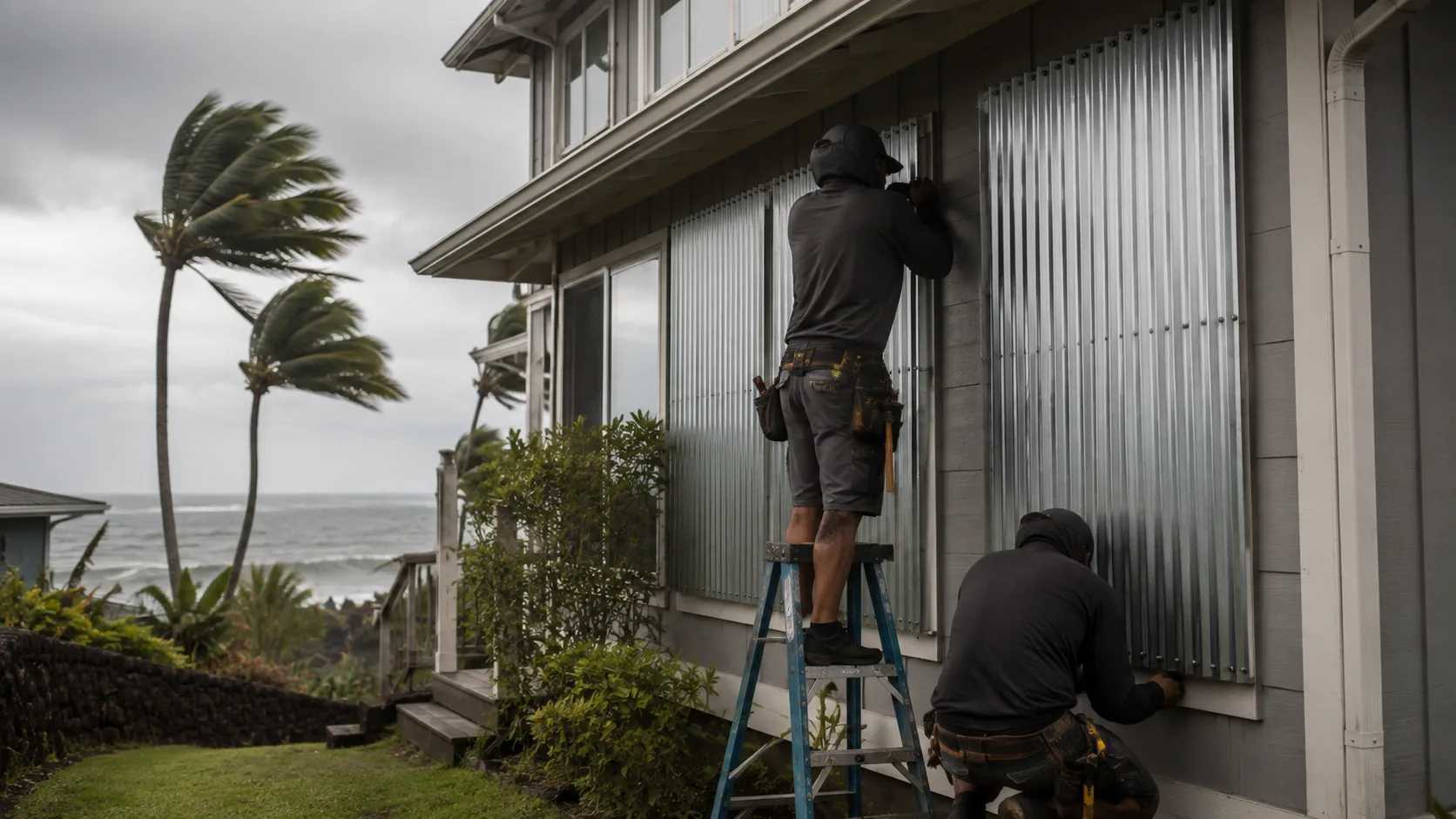
- ✓Review your household hurricane plan now, before a watch or warning is issued — supplies, water, and evacuation routes are easier to sort out with a few days of notice than a few hours.
- ✓Expect dangerous surf and rip currents regardless of whether the system makes direct landfall — large swells from a passing system can affect beaches even on a track that stays offshore.
- ✓Follow NWS Honolulu and the Central Pacific Hurricane Center directly, rather than relying on secondhand social media forecasts, since the track is still actively shifting model run to model run.
- ✓Check on neighbors, especially kupuna and those with limited mobility, while there's still time to help with preparations rather than during an active warning.
- ✗Don't treat the current track spread as a reason to wait and see — the three-way model split is exactly why preparation now matters, not less.
- ✗Don't assume a weakening or offshore track means zero impact — Hurricane Dora's indirect wind effects in 2023 are a well-known reminder that a storm passing well clear of the islands can still contribute to dangerous conditions on land.
Department Readiness Priorities During the Watch Window
This does not replace your department's hurricane/tropical cyclone SOP/SOG — always defer to your own agency's policy and county emergency management guidance. But the general staging logic during a pre-formation watch period like this one typically includes:
| Stage | Action |
|---|---|
| Pre-formation (now) | Inventory generators, sandbags, and swiftwater/surf rescue equipment; confirm mutual aid contacts across counties. |
| If a Hurricane/Tropical Storm Watch is issued | Brief crews, confirm shelter-in-place locations for apparatus, coordinate public messaging with county Civil Defense. |
| If a Warning is issued | Move to full activation per department hurricane plan; prioritize known flood- and surge-prone response zones. |
| Post-passage | Assess for downed lines, road washouts, and structural damage before resuming normal duty; expect elevated call volume from surf and flooding even on a near-miss track. |
Where to Get Live Updates
- Central Pacific Hurricane Center / NWS Honolulu — the official source for track forecasts, watches, and warnings affecting Hawaii.
- National Hurricane Center — for the broader eastern and central Pacific tropical outlook.
- Hawaii County and State Civil Defense — for shelter, evacuation, and local response updates once a watch or warning is active.
- Local broadcasters — Hawaii News Now, Big Island Now, and KHON2 are providing rolling local coverage as the system develops.
We'll update this article as an official forecast track is issued and as the system organizes. For flood and severe-weather terminology that may apply as this event develops, see our explainer on flood watch vs. flood warning.





Thanks, Ron — really glad it's useful. Curious what part of the site you and your friends use most, especially given Hawaii's own wildfire/flood risk profile — happy to point you toward anything specific if it'd help.
What an excellent, clear, factual site for this kind of info. I live in Hawaii and have already shared it with friends here.