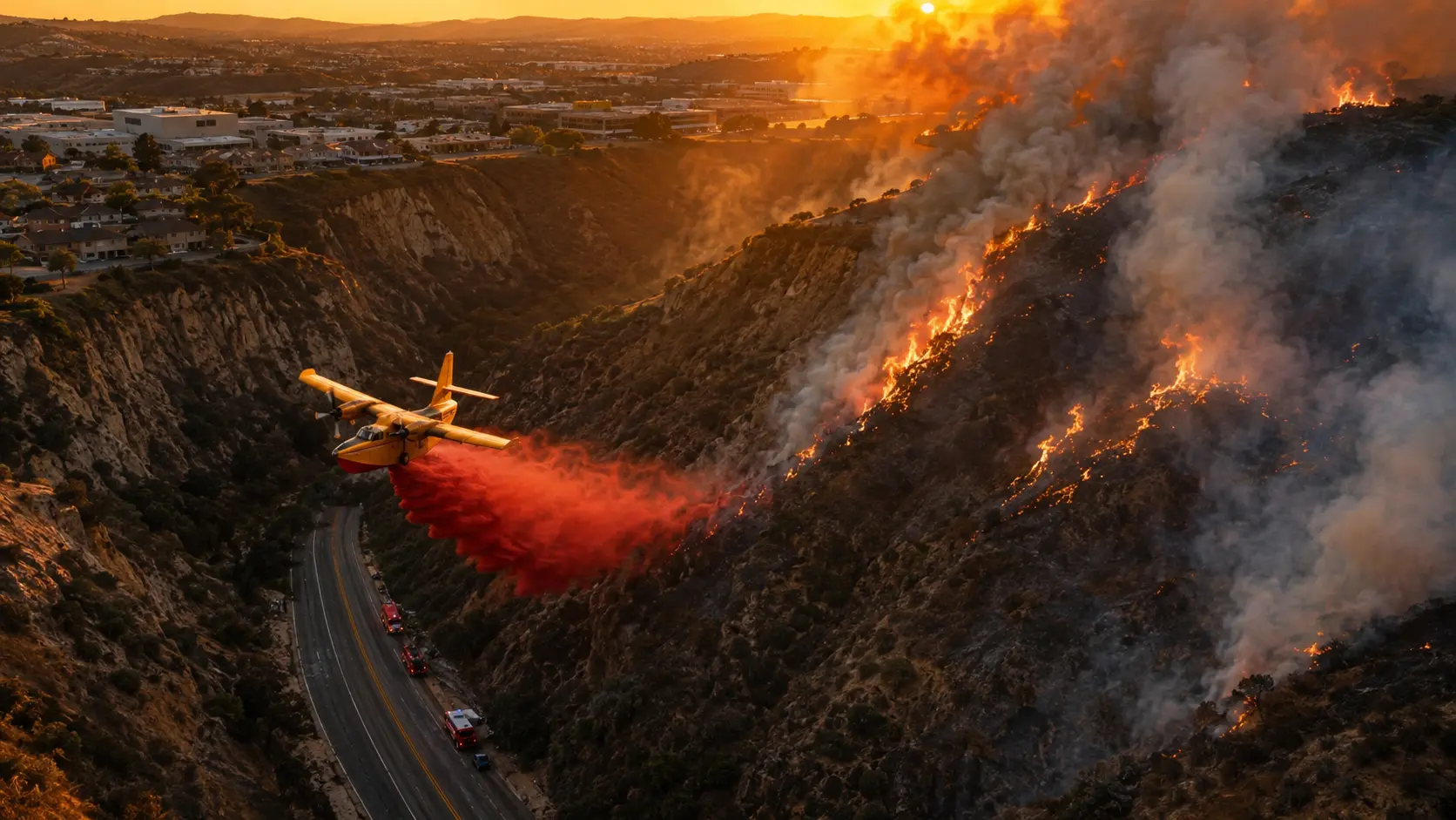

Latest: The Sorrento Fire, burning in the Peñasquitos Creek canyon between Sorrento Valley Boulevard and Carmel Mountain Road in San Diego, reached 131 acres and was 25% contained as of 8:44 p.m. Sunday, according to Cal Fire. San Diego Fire-Rescue Department said forward progress on the fire had been stopped by around 7 p.m. Most evacuation warnings issued earlier in the day have since been lifted; Evacuation Zone SDC-1444 was split in two, with the order lifted for sub-zone SDC-1444-B while SDC-1444-A remains under a mandatory evacuation order. Road closures remain in effect on Sorrento Valley Boulevard East between Vista Sorrento Parkway and Camino Santa Fe in both directions, and residents are urged to continue avoiding the area. The cause of the fire had not been determined as of Sunday evening.
A vegetation fire broke out Sunday afternoon in one of San Diego's steepest urban canyons, growing fast enough to force evacuation orders within about two hours of the first 911 call. The response drew fixed-wing air tankers, helicopters staged out of two different bases, bulldozers, and more than 150 firefighters — a reminder of how quickly dry brush and canyon terrain can turn a small ignition into a fast-moving threat to nearby homes and industrial buildings.
How the Fire Grew
San Diego Fire-Rescue received the first call around 1:30 p.m. Sunday reporting a fire in the Peñasquitos Creek area, east of Interstate 5, estimated at just 1 to 2 acres with slow eastward spread. The fire's growth accelerated quickly as it moved through medium brush in the canyon: by roughly 2:50 p.m. it had grown to 5 to 10 acres, and within about 90 minutes of ignition it had reached 20 to 25 acres. By 4:44 p.m., Cal Fire reported the fire had jumped to 131 acres, where its size has held while containment has climbed.
| Time (Sun. Aug 16) | Size / Containment | Notes |
|---|---|---|
| ~1:30 p.m. | 1-2 acres | First 911 calls; slow eastward spread reported |
| ~2:50 p.m. | 5-10 acres | Continuous spread through medium brush |
| ~3:00 p.m. | 20-25 acres, 0% contained | Evacuation orders begin for zones nearest the flames |
| 4:44 p.m. | 131 acres | Cal Fire reports major jump in size; aircraft in full effect |
| ~7:00 p.m. | 131 acres, 15% contained | SDFD confirms forward rate of spread has stopped |
| 8:44 p.m. | 131 acres, 25% contained | Most evacuation warnings lifted; Zone SDC-1444 split into A/B |
Why Ground Crews Struggled and Aircraft Took the Lead
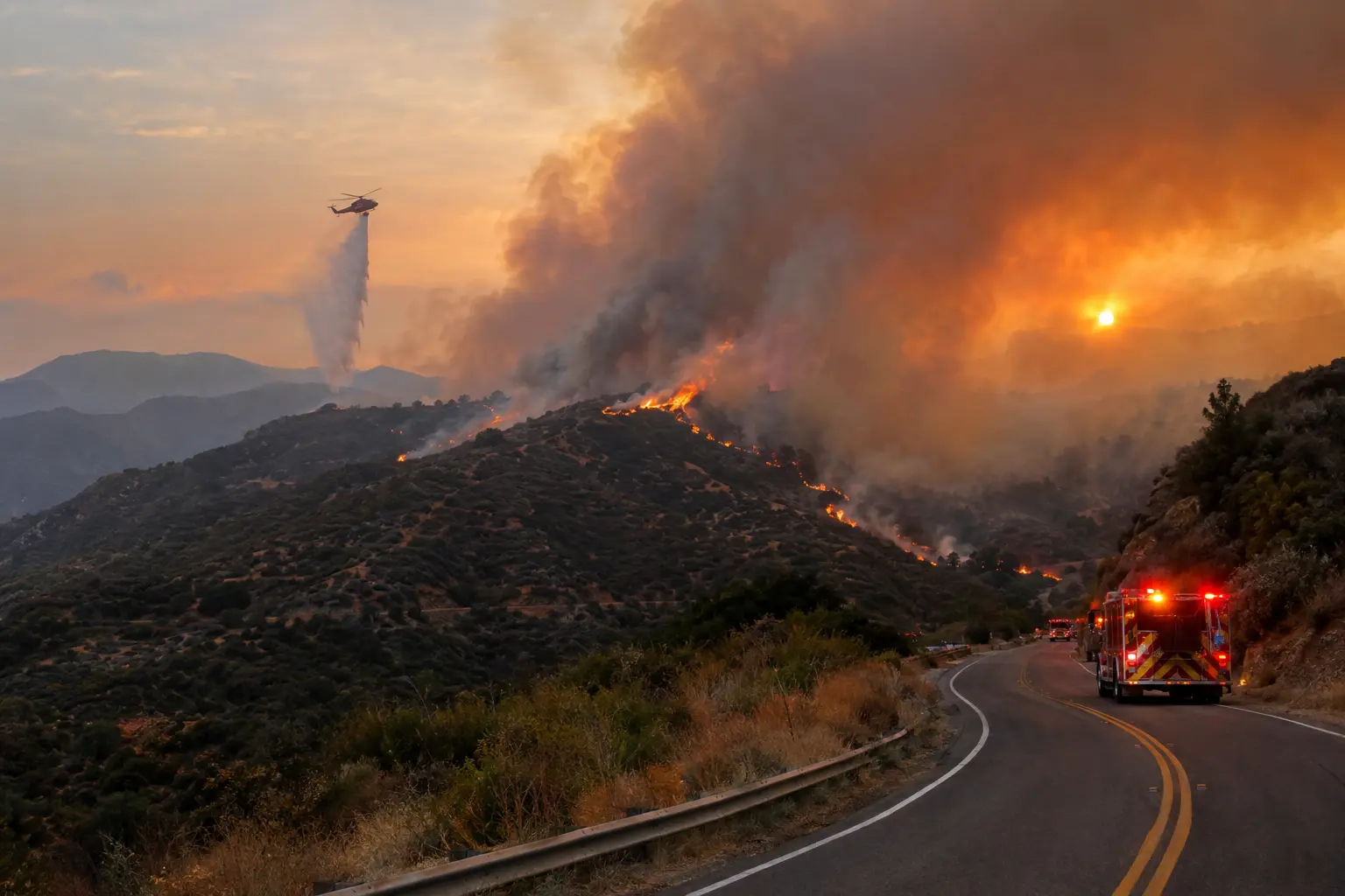
San Diego Fire-Rescue Deputy Chief Dan Eddy said the canyon terrain created serious access problems for ground crews from the start. "It's not somewhere you can ride your car into," Eddy said, noting that the fire was burning along a hiking trail with no direct vehicle access. Washouts left behind from a previous fire in the same canyon further complicated efforts to get ground units into position, making aircraft the critical tool for stopping the fire's spread. Five fixed-wing aircraft worked the fire, with helicopters staged out of Hemet and Ramona, and crews picked up water from a nearby golf course with a turnaround time of under three minutes back to the canyon — a fast enough cycle that Eddy credited the air response with stopping forward progress within about an hour of the aircraft arriving on scene.
On the ground, San Diego Fire-Rescue, Cal Fire, and a Type 3 Strike Team assembled a substantial response: four fire engines, seven brush rigs, four operation support vehicles, four battalion chiefs, two helicopters, and two Cal Fire bulldozers, all requested as the fire reached the creek bed at the bottom of a canyon ringed with homes. By evening, a total of 54 units and roughly 160 to 200 fire personnel were engaged in suppression operations, with San Diego also requesting two additional hand crews from Cal Fire.
Evacuations and Road Closures
Fire officials initially said there was no threat to structures, but evacuation warnings and orders followed for several nearby residential areas by around 3:30 p.m. as the fire grew. An evacuation order was issued for Zone SDC-1444, with evacuation warnings covering a wider ring of zones — SDC-1399, SDC-1400, SDC-1401, SDC-1442, SDC-1443, SDC-1446, SDC-1492, and SDC-1494. A temporary evacuation point was set up at Mandell Weiss Eastgate Park, 4161 Eastgate Mall. As containment improved through the evening, all evacuation warnings were lifted, and Zone SDC-1444 was split into two sub-zones: the order was lifted for SDC-1444-B while SDC-1444-A remains under a mandatory evacuation order.
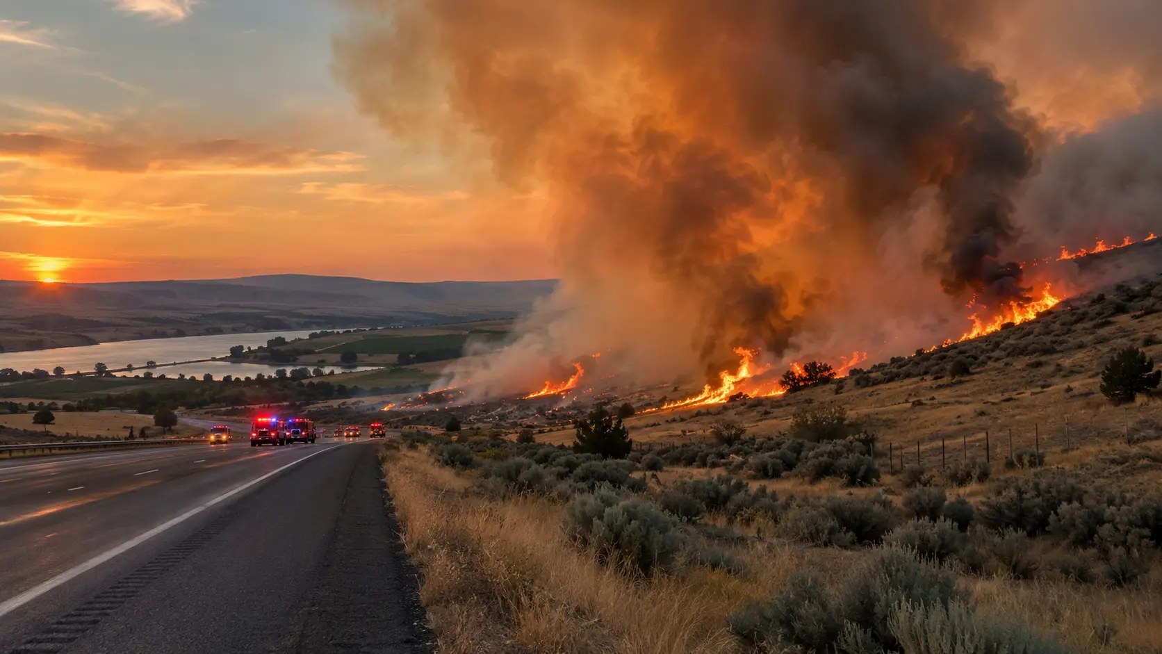
The San Diego Police Department closed roads near 10800 Vista Sorrento Parkway, as well as Sorrento Valley Boulevard and Jasmine Crest Lane, for traffic control. As of the most recent update, all lanes of Sorrento Valley Boulevard East between Vista Sorrento Parkway and Camino Santa Fe remain closed in both directions, along with the northbound lanes of Sorrento Valley Boulevard and Vista Sorrento Parkway, and westbound Vista Sorrento Parkway. Drivers in the area should expect continued delays and detours until the roads reopen.
- ✓Evacuation status check: San Diego County's Genasys evacuation map — search your zone at the county's evacuation dashboard.
- ✓Temporary evacuation point: Mandell Weiss Eastgate Park, 4161 Eastgate Mall.
- ✓Active road closures: Sorrento Valley Blvd East (both directions, Vista Sorrento Pkwy to Camino Santa Fe); Vista Sorrento Pkwy (northbound and westbound); Jasmine Crest Lane.
- ✓Still under mandatory order: Zone SDC-1444-A.
- ✓No-drone zone: San Diego Police Department has warned that unauthorized drones near the fire can ground aircraft and halt aerial firefighting.
Understanding the color-coded evacuation levels: San Diego County uses three tiers. A Warning (yellow) means a potential threat to life or property — leave now if you need extra time or have pets and livestock. An Order (red) means evacuate immediately to a safe location; your safety is at imminent risk. Shelter in Place means go indoors, shut and lock doors and windows, and prepare to self-sustain until contacted by emergency personnel. Knowing which zone you're in, before a fire starts, is the single fastest way to act correctly when an alert comes through.
What's Next
With forward progress stopped and containment climbing past 25%, crews are expected to shift toward mop-up and securing the fire's perimeter overnight and into Monday, checking for hot spots along the edges of the canyon closest to homes. The cause remains under investigation. San Diego Fire-Rescue and Cal Fire have not indicated a timeline for when the remaining road closures or the SDC-1444-A evacuation order will be lifted, and officials continue to ask residents to monitor the county's evacuation map directly rather than relying on secondhand reports, since conditions in canyon terrain can still shift quickly overnight.
This is a developing story; we'll update it as San Diego Fire-Rescue, Cal Fire, and San Diego County officials release further information on containment, road reopenings, and the fire's cause.





Comments 0
No comments yet. Be the first to share your thoughts!
Leave a Comment