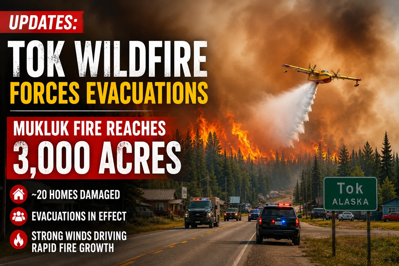

Latest: The Mukluk Fire burning near Tok, Alaska, has grown to approximately 3,000 acres and remains at 0% containment as strong winds continue to drive fire behavior.
Structural impact: Early reports indicate approximately 20 homes have been damaged, while additional structures remain threatened. No injuries or fatalities have been reported.

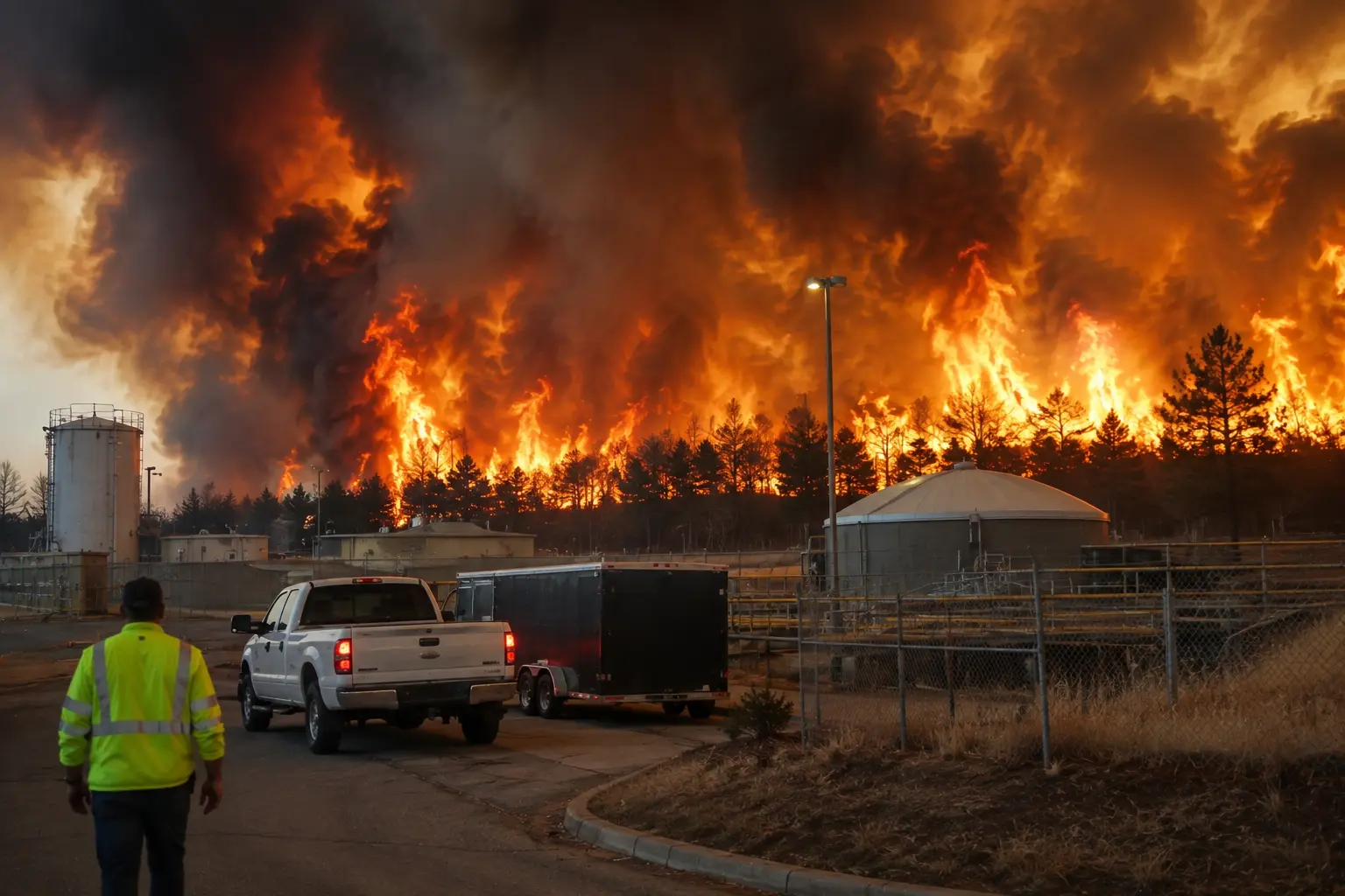
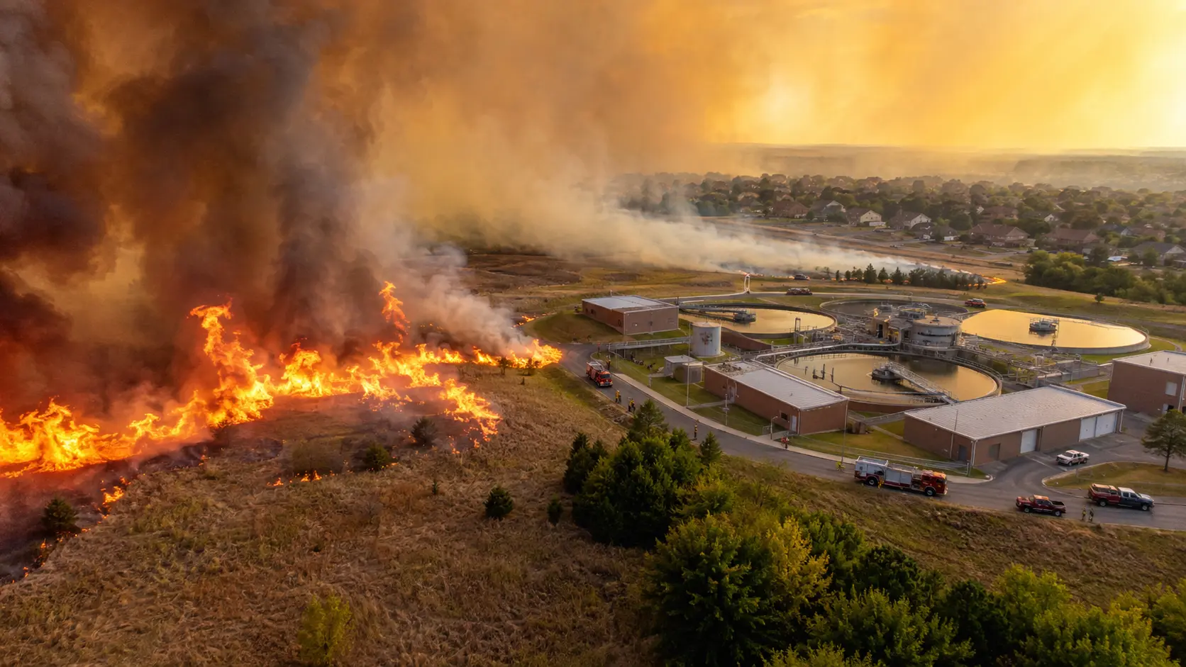
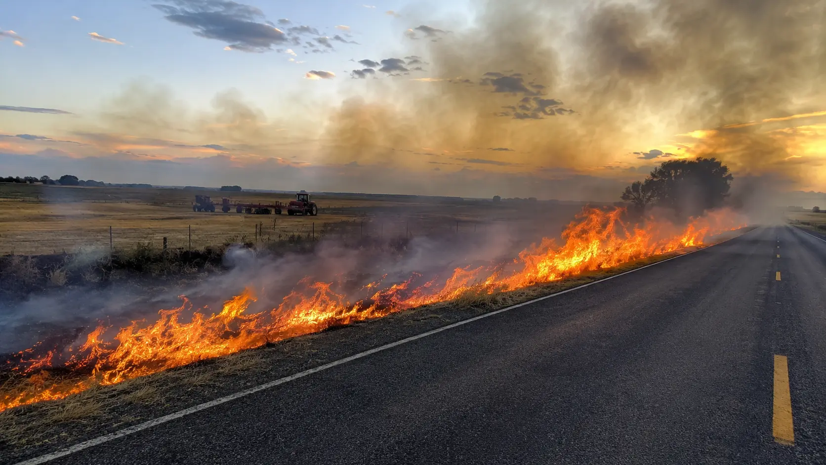
A fast-moving wildfire is burning near Tok, Alaska, forcing evacuations along the Alaska Highway as the Mukluk Fire grows under hot, dry and windy conditions. The fire has expanded to approximately 3,000 acres with 0% containment, and early reports indicate roughly 20 homes have been damaged, with additional structures still threatened.
The fire was first reported near the Alaska Highway and Sundog Trail on Monday, August 17, and has grown rapidly since, pushed by sustained winds and dry fuels typical of Interior Alaska's fire season. Because this is a developing incident, acreage and damage figures below reflect the most recent official updates and are subject to change.
Mukluk Fire at a Glance
| Location | West of Tok, Alaska (Southeast Fairbanks Census Area), along the Alaska Highway near Sundog Trail |
| Fire name / number | Mukluk Fire, Fire #487 |
| Started | Shortly before noon, Monday, August 17, 2026 |
| Size (latest) | Approximately 3,000 acres |
| Containment | 0% |
| Cause | Human-caused; a downed, arcing power line near Red Fox Drive is the suspected source, per the Alaska Interagency Coordination Center. Exact cause remains under investigation. |
| Structures | Approximately 20 homes reported damaged or destroyed (early estimate); additional structures threatened |
| Injuries | None reported |
| Evacuations | Level 3 "GO" in effect north of the Alaska Highway; Level 2 "SET" for an adjacent zone |
| Resources on scene | Alaska DOFF engines and dozers, 9 smokejumpers, CATG firefighting squad, Chevak Fire Crew, local fire departments, 4 helicopters, an air tanker |
Situation Summary
The Mukluk Fire was reported shortly before noon Monday after igniting in the backyard of a residence along the Alaska Highway near Sundog Trail. The fire grew explosively through the afternoon and evening, climbing from an initial estimate of about 20 acres to more than 1,500 acres by 7 p.m., then to roughly 2,000–2,300 acres by Tuesday morning, and to approximately 3,000 acres in the latest update. The Alaska Division of Forestry & Fire Protection (DOFF) says response priorities remain protecting lives, protecting the community and slowing the fire's spread.
The Alaska Interagency Coordination Center has classified the fire as human-caused. Officials say a downed, arcing power line near Red Fox Drive is believed to be the source, though the exact cause remains under active investigation. Sustained winds of 20–30 mph pushed flames through the Sundog Trail and Midnight Sun Drive neighborhoods, with the Alaska Highway serving as the fire's southern boundary as it spread east and northeast toward the Tanana River.
Conditions offered brief relief Monday night, when rain fell over the fire area and helped moderate fire behavior overnight. A Red Flag Warning for the Upper Tanana Valley, including Tok, nonetheless underscored the ongoing risk from hot, dry and gusty weather.
For broader context, see our coverage of the 2026 U.S. wildfire season. The Tok incident, however, should be evaluated primarily on the latest incident-specific information from officials and local reporting.
Why the numbers keep changing: DOFF has said damage assessments and acreage figures can shift as crews collect more information and inspect affected properties. Because the fire remains active and 0% contained, both the footprint and the threatened area can continue to evolve.
Timeline: How the Tok Fire Has Grown
- Mon, Aug 17 — ~11:50 a.m. Fire reported in the backyard of a home on the Alaska Highway near Sundog Trail, Milepost 1316.
- Mon, Aug 17 — 1:15 p.m. Level 3 "GO" evacuation ordered for Tok north of the Alaska Highway, between Sundog Trail and Midnight Sun Drive; fire estimated at ~20 acres.
- Mon, Aug 17 — 2:25 p.m. Nine smokejumpers, the CATG firefighting squad, local fire departments, DOFF engines and a helicopter engaged the fire; a Temporary Flight Restriction requested and drone flights prohibited over the area.
- Mon, Aug 17 — 4:15–5:00 p.m. Evacuation shelters opened at the Tok Dog Mushers Association Hall (1311 Alaska Highway) and Tok School; both accepting pets.
- Mon, Aug 17 — 7:00 p.m. Fire grows past 1,500 acres, spreading east and northeast toward the Tanana River; engines and dozers begin structure protection as helicopters work the fire with water buckets.
- Mon, Aug 17 — evening Rain falls over the fire area, helping moderate behavior overnight; Chevak Fire Crew joins suppression efforts.
- Tue, Aug 18 — morning Fire estimated near 2,000–2,300 acres, still at 0% containment; at least 20 structures confirmed damaged or destroyed.
- Tue, Aug 18 — latest Fire grows to approximately 3,000 acres; additional structures remain threatened as crews continue suppression and structure protection.
Tok, Alaska Impact
The fire has directly affected the community of Tok, an Interior Alaska town along the Alaska Highway, after starting near a residence off Sundog Trail. Early reports indicate approximately 20 homes have been damaged, while additional structures remain threatened; officials caution this figure is an early estimate that may be revised as crews assess the affected area.
Fast Eddie's, a popular local restaurant in Tok, was evacuated as a precaution and has not been damaged, according to DOFF. No deaths or injuries have been reported in connection with the fire; available reporting instead focuses on evacuation operations, structure protection and continued suppression.
DOFF says Level 3 GO! evacuations remain in effect north of the Alaska Highway from Sundog Trail to Midnight Sun Drive (north of Milepost 1316.5), while an adjacent area from Moosehorn Road and Fifth Street north to Red Fox Drive is under Level 2 SET status, meaning those residents should be ready to evacuate immediately if conditions worsen. Officials warn against entering the fire area or evacuation zone because of active fire, downed power lines, falling trees and hidden ash pits.
For homeowners looking for longer-term wildfire protection information, our guide to defensible space and the three wildfire zones around a home provides additional background on reducing exposure around structures.
Response & Official Statements
The response has drawn on local, regional and statewide resources. According to DOFF, firefighters, engines, dozers, helicopters, smokejumpers and local fire departments have been engaged since the fire's early hours, with the CATG (Council of Athabascan Tribal Governments) firefighting squad and the Chevak Fire Crew joining suppression efforts. Fire engines from Girdwood, Chugiak, Mat-Su and Kenai were dispatched to Tok, and an air tanker capable of dropping retardant was recalled from Washington state to help work the fire.
The scale of the response comes even as numerous Alaska wildland fire crews are currently deployed outside the state, supporting fire suppression efforts in Washington, Montana and Oregon — a factor that has stretched in-state resources during an already active Alaska fire season.
The response has a significant local dimension as well: DOFF says members of its own Tok staff, including local leadership, lost their own homes in the fire while continuing to support the response and the broader community. The agency says supporting those employees, their families and the wider Tok community is also a priority going forward.
Officials have requested a Temporary Flight Restriction (TFR) over the fire area and are asking the public not to fly drones near the fire, warning that unauthorized drone activity can ground firefighting aircraft and endanger both crews and residents.
Evacuation Zones & Shelter Information
Verified evacuation and shelter information from official sources:
- Level 3 "GO": North of the Alaska Highway between Sundog Trail and Midnight Sun Drive (north of Milepost 1316.5).
- Level 2 "SET": From Moosehorn Road and Fifth Street north along the Alaska Highway to Red Fox Drive — residents should be ready to leave immediately.
- Shelter: Tok Dog Mushers Association Hall, 1311 Alaska Highway (pet-friendly).
- Shelter: Tok School, Jon Summar Drive off the Glenn/Tok Cutoff Highway (pet-friendly).
- Both highways remain open; Alaska State Troopers are directing traffic in affected areas.
Shelter locations and evacuation boundaries can change quickly as an active wildfire develops. Residents should follow current instructions from local emergency officials and DOFF rather than relying on earlier reports, and can check current evacuation zones using the state's PBS-WARN mapping tool.
What's Ahead
The immediate outlook remains focused on continued suppression, protection of threatened structures and evacuation safety. The fire is estimated at approximately 3,000 acres with 0% containment, and officials say additional structures remain threatened.
No final containment percentage or timetable for full control has been established. Wind remains the key variable: gusts of 20–30 mph have driven the fire's rapid growth toward the Tanana River, while scattered showers and isolated thunderstorms in the forecast could bring erratic, gusty conditions that complicate suppression efforts.
For residents, the near-term developments to watch are any changes to evacuation orders, additional structural damage reports and shifts in fire behavior — all of which depend on suppression progress, weather and updated assessments from incident officials. This is a developing story and will be updated as new information becomes available.
Frequently Asked Questions
Where is Tok, Alaska?
Tok is a small community in Interior Alaska's Southeast Fairbanks Census Area, located along the Alaska Highway near the Tanana River, roughly midway between the Canadian border and Fairbanks.
How big is the Mukluk Fire near Tok?
As of the latest update, the Mukluk Fire has burned approximately 3,000 acres and is at 0% containment. The fire grew from an initial estimate of about 20 acres to more than 1,500 acres within hours of ignition on August 17, 2026.
What caused the Tok, Alaska wildfire?
The Alaska Interagency Coordination Center has classified the Mukluk Fire as human-caused. Officials say a downed, arcing power line near Red Fox Drive is the suspected source, though the exact cause remains under investigation.
Is Tok, Alaska under evacuation right now?
Yes. A Level 3 "GO" evacuation order is in effect for the area north of the Alaska Highway between Sundog Trail and Midnight Sun Drive, and an adjacent zone is under Level 2 "SET" status. Residents should follow current guidance from the Alaska Division of Forestry & Fire Protection.
How many homes have burned in the Tok fire?
Early estimates from the Alaska Division of Forestry & Fire Protection indicate approximately 20 homes have been damaged or destroyed, with additional structures still threatened. This figure is preliminary and may be revised as damage assessments continue.
Has anyone been injured in the Mukluk Fire?
No injuries or fatalities have been reported as of the latest update, though several Alaska Division of Forestry & Fire Protection staff based in Tok have reported losing their own homes.
Wildfire Safety Note
If you are inside an active evacuation zone, follow the evacuation order and do not enter the fire area. DOFF specifically warns that active fire, downed power lines, falling trees and hidden ash pits remain dangerous.
The Tok incident also illustrates why evacuation orders should be treated as operational safety instructions rather than optional warnings. Rapidly changing wildfire conditions can make previously safe areas dangerous with little notice.
Residents outside the immediate evacuation area should continue monitoring official incident information rather than relying on older reports, since both fire conditions and damage assessments can change quickly as crews continue suppression and assessment operations.
Developing story: The Mukluk Fire near Tok, Alaska, remains an active wildfire incident at approximately 3,000 acres and 0% containment. Roughly 20 homes have been damaged and evacuations remain in place while firefighters, smokejumpers and aviation resources continue response operations. This article will be updated as new information becomes available.
Sources: Alaska Division of Forestry & Fire Protection; Alaska's News Source; Anchorage Daily News; Fairbanks Daily News-Miner.



This photo is not Tok. They also did not have air tanker support, only helicopter support, as all air tankers were in Idaho.