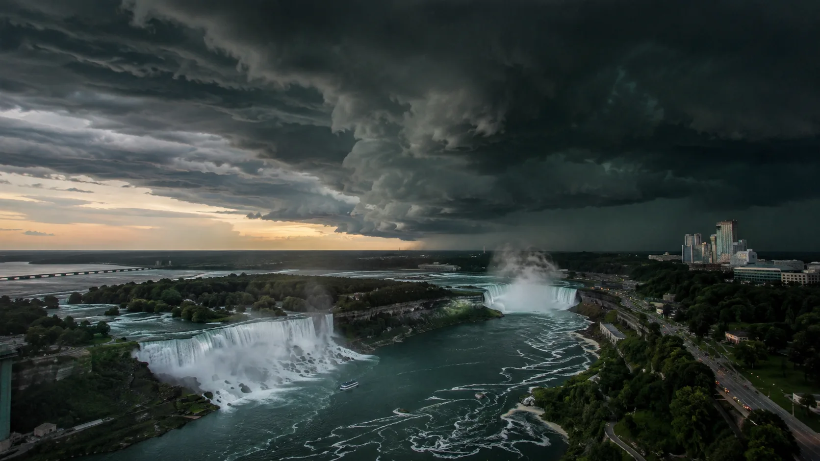

What happened: On Sunday, August 2, 2026, a single severe thunderstorm cell moving east across the Niagara River corridor triggered a Tornado Warning from the National Weather Service in Buffalo for western Niagara County, NY at 12:40 p.m. EDT, and an extreme-impact tornado warning from Environment Canada for the Niagara Region — including Niagara Falls, St. Catharines, Thorold, and Virgil — just three minutes later at 12:43 p.m. EDT. Both warnings were lifted within roughly 35 minutes as the storm weakened below severe limits. No injuries or confirmed tornado touchdowns were reported by either agency. The event is a rare, clean example of one storm system crossing an international border and setting off two separate national warning systems almost simultaneously — and a useful trigger for reviewing how crews should respond the moment a warning, not just a watch, is issued.
The setup began just after noon Eastern time, when NWS Buffalo issued a Severe Thunderstorm Warning at 12:32 p.m. for northeastern Erie County and Niagara County, citing a cell seven miles west of Niagara Falls moving east at roughly 30 mph with 60 mph wind gusts and penny-size hail. Eight minutes later, radar detected rotation associated with the same cell, and NWS Buffalo upgraded to a Tornado Warning at 12:40 p.m. for western Niagara County, listing Niagara Falls, Grand Island, Lewiston, Youngstown, Fort Niagara State Park, Sanborn, Wilson, Cambria Center, Pendleton Center, and Ransomville as directly in the path. The bulletin used the standard hard-hit language: flying debris dangerous to anyone without shelter, likely damage to mobile homes, roofs, windows, and vehicles, and a direct instruction to take cover immediately in a basement or an interior room on the lowest floor.
On the Canadian side of the river, Environment Canada issued its own red, extreme-impact tornado warning at 12:43 p.m. EDT for the Niagara Region, covering Niagara Falls, Niagara-on-the-Lake, Thorold, Virgil, and St. Davids, and pushed an emergency alert directly to cell phones in the area. Residents reported a wild stretch of weather moving through north Niagara Falls — pounding rain, near-zero visibility, howling wind, and scattered power outages — before both the U.S. and Canadian warnings were cancelled inside the hour as the storm's rotation signature faded on radar. The timing came less than a week after Niagara-on-the-Lake and St. Catharines had already been hit with flash flooding from a separate storm, so crews on both sides of the border were working this event on top of an already-saturated ground and strained drainage systems.
In this article:
Tornado Warning vs. Tornado Watch: What Actually Changed at 12:40 p.m.
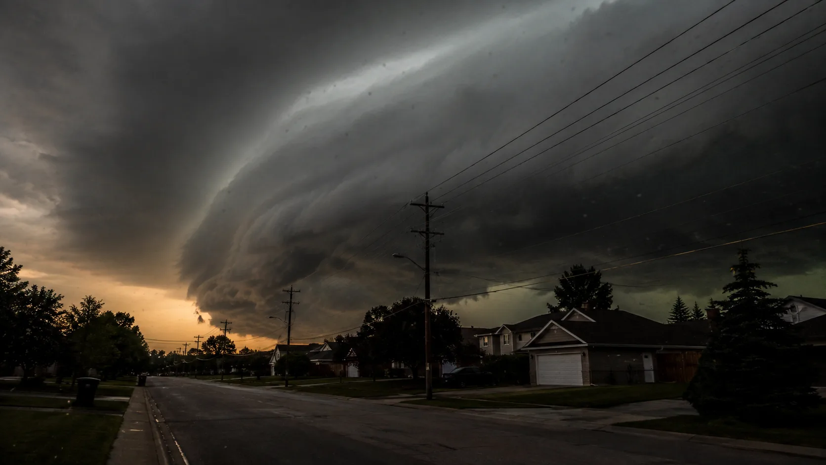
The Niagara event moved through both stages inside about ten minutes, which is exactly why the distinction matters operationally. A watch means conditions are favorable for tornadoes to form somewhere within a broad area over several hours — it's a planning trigger, not a shelter trigger. A warning means a tornado has been detected on radar (via rotation, or a hook echo) or reported on the ground, is happening now or imminently, in a specific, narrow path, and requires immediate protective action. NWS Buffalo's own bulletin captured that shift in one line: the 12:32 p.m. severe thunderstorm warning told people to expect wind and hail; the 12:40 p.m. tornado warning told them to take cover now. That's an eight-minute gap between monitoring and acting — which is a realistic, not unusually short, warning lead time for a radar-indicated rotation event.
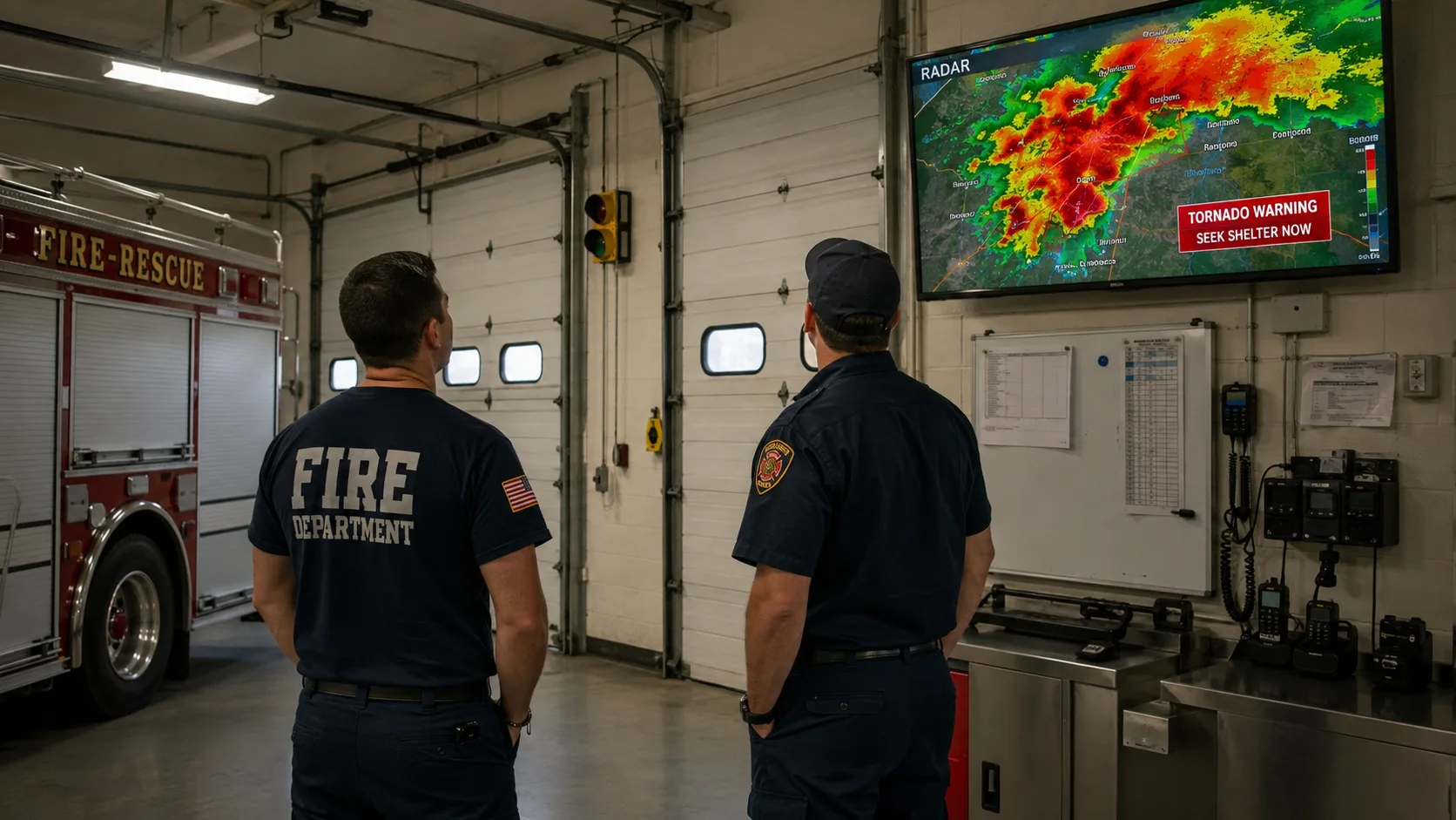
For crews, the operational trigger is the warning, not the watch. A watch is when apparatus bays get checked, radios get tested, and shift supervisors confirm who's covering which zone. A warning is when units already committed to calls make a real-time risk call about continuing versus staging, and when stations in the warned polygon move personnel and apparatus away from garage doors and windows.
Firefighter & EMS Response Priorities the Moment a Warning Drops
None of the following replaces your department's SOP/SOG — always defer to your own agency's severe weather policy. But the sequence below reflects how most warning-area departments structure the first minutes after a radar-indicated tornado warning like the one issued for Niagara County:
- ✓Move apparatus and crews away from bay doors and large windows — station structures with big overhead doors are among the most vulnerable to wind-driven debris and pressure changes.
- ✓Re-evaluate any unit already on the road — a rig caught between the warned polygon and a call location may need to stage at a pre-identified sturdy structure rather than push through.
- ✓Confirm EMS crews holding on scene have a shelter plan for the patient and themselves — an ambulance is not a safe structure once winds reach warning-level thresholds.
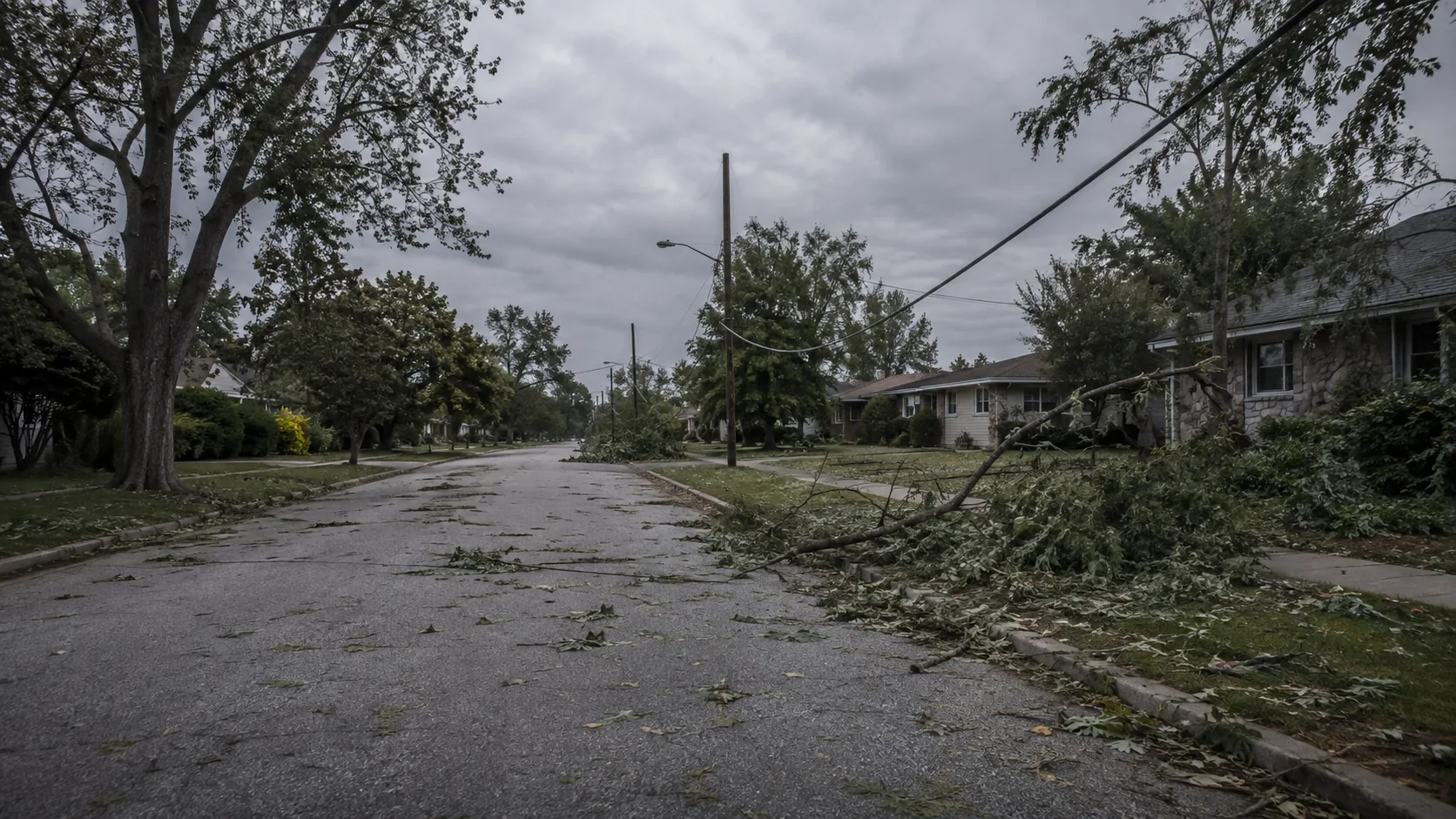
- ✓Pre-stage for the post-warning phase — once the polygon passes, expect downed wires, blocked roads, and structural damage calls even if no tornado is confirmed; the Niagara event still knocked out power and downed trees on wind alone.
- ✗Don't wait for a confirmed touchdown before acting — both agencies here warned on radar-indicated rotation alone, which is the correct, standard trigger; ground confirmation almost always comes after the fact, if at all.
- ✗Don't assume a fast-expiring warning means the threat was minor — this one lifted in about 35 minutes precisely because crews and residents took cover, not because the storm was ever mild; the Severe Thunderstorm Warning immediately prior carried 60 mph gusts and hail.
What a Two-Country Warning Teaches Border-Area Departments
The Niagara Falls area sits directly on the US-Canada border, so this single storm cell had to be tracked, warned, and communicated by two entirely separate national agencies — NWS Buffalo on the New York side and Environment Canada on the Ontario side — using different alerting terminology (a US Tornado Warning versus Canada's red, extreme-impact tornado warning) and different public alert systems. For any department that covers a jurisdictional line, whether that's a national border, a state line, or simply a county boundary with a different dispatch center, this event is a reminder to confirm in advance which agency's warning products your mutual-aid partners are actually receiving, since a warning issued on one side of a line doesn't automatically reach crews or residents on the other side at the same moment.
Department Readiness Checklist
| Stage | Trigger | Action |
|---|---|---|
| Tornado Watch | Conditions favorable, wide area, hours of lead time | Check apparatus, radios, and shelter plans; brief crews. |
| Severe Thunderstorm Warning | Damaging wind/hail confirmed or imminent | Move apparatus in; hold non-essential outdoor work. |
| Tornado Warning | Radar-indicated rotation or ground report, narrow path, minutes of lead time | Take cover immediately; re-route or stage units in the polygon. |
| Post-Warning | Warning cancelled, cell moving off | Assess for downed wires, blocked roads, and structural damage before releasing units back to normal duty. |
Where to Track Live Warnings
- National Weather Service Buffalo — official warnings for western New York, including Niagara County.
- Environment Canada — official warnings for the Niagara Region and the rest of Ontario.
- NOAA Weather Radio — for stations that need an always-on alerting source independent of cell coverage, which can degrade in high wind.
- Local broadcasters — WGRZ (Buffalo) and CHCH/CP24 (Ontario) provided rolling coverage of this event on their respective sides of the border.
This particular storm cell passed without a confirmed touchdown or reported injuries, but the response sequence it forced on both sides of the border is worth running as a tabletop exercise even for departments that weren't in its path. For the fireground calculators and reference tools to plan around severe weather staffing, see our free tools hub.







Comments 0
No comments yet. Be the first to share your thoughts!
Leave a Comment